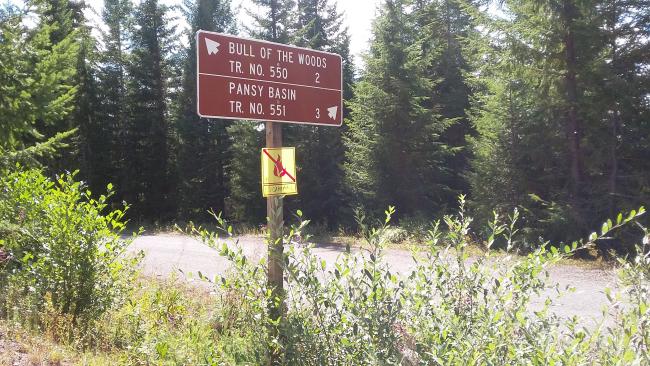
Here is a lovely hike in the south reaches of the Clackamas watershed. The hike is about 6.5 miles round trip and 1000 feet of gain. Although about two hours from Portland, it's also a nice drive to the trailhead with good signage along the way. Only the last half mile or so would be challenging in a passenger car.
These trailhead directions are very good, although we turned a bit earlier than they described. And the trailhead coordinates are spot on. There shouldn't be a need for GPS to activate this summit. https://www.oregonhikers.org/field_guide/Bull_of_the_Woods_Trailhead
The hike is well described here - their total elevation includes losses and gains on the trail:https://www.oregonhikers.org/field_guide/Bull_of_the_Woods_Lookout_Hike
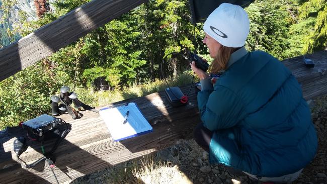
The closed lookout at the summit provides a good base for setting up - a seat and a table of sorts and a way to rig some smaller antennas. Otherwise there are not many trees close to the lookout for antennas. This summit pretty much has a 'view' of the Wilamette Valley from Eugene to Portland for VHF contacts.


