Here's a wilderness peak where backpacking is a good choice - it's a long seven miles one-way and about 2700 feet of gain - it would be a lot to do in one day. It would even be possible to camp on the summit - but be ready to carry your water.
From Packwood, continue on US 12 about nine miles to Forest Road 45. Turn left (north) off the highway and continue 0.3 mile and take the left at a fork in the road. Continue 4.2 miles and then go right to Soda Springs Forest Camp. You will find the trailhead for Cowlitz Trail No. 44 on the right in 0.6 mile. Parking is just past the trailhead sign.
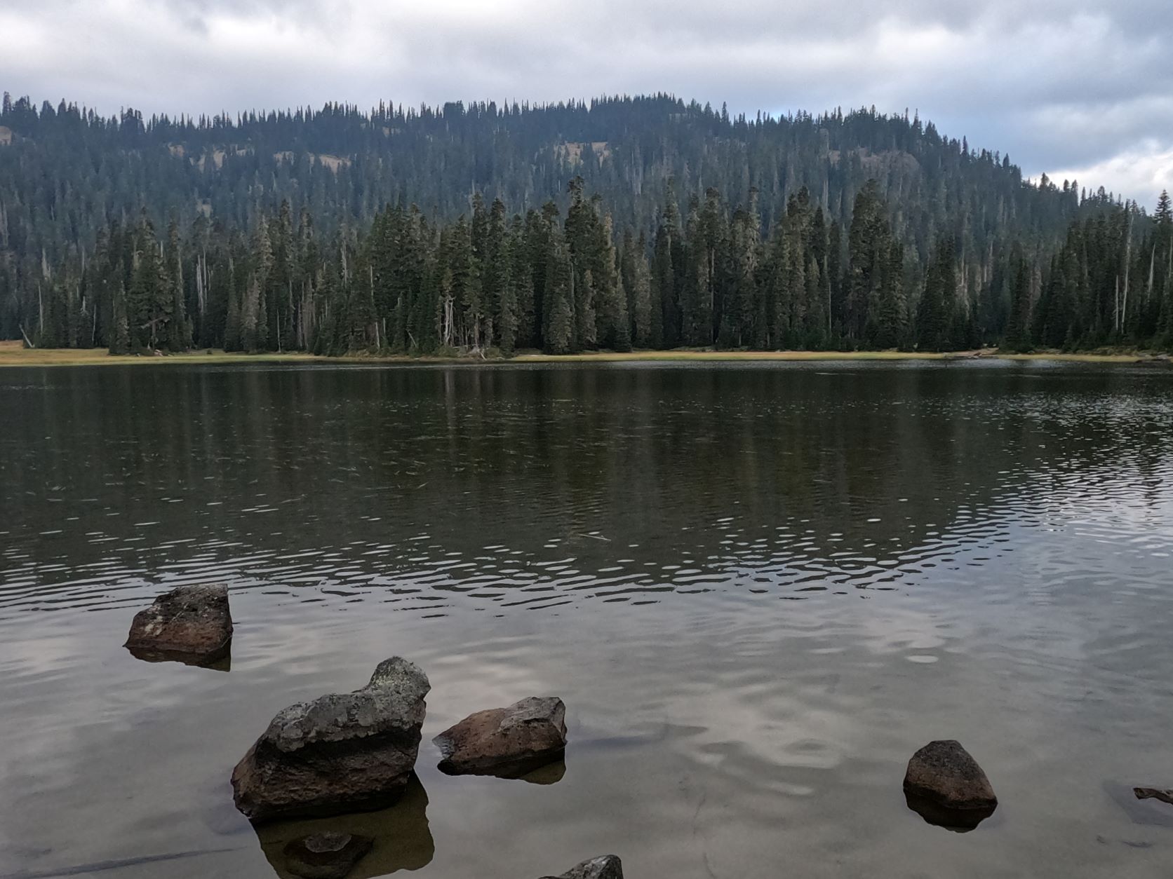
Start hiking from Soda Springs on Cowlitz Trail No. 44 after filling out a Wilderness permit. The trail starts easy for about 2.2 miles when you arrive at the rocky outlet from Jug Lake above. The creek was nearly dry this late in a low water year. A bit beyond the creek crossing, take the Jug Lake Trail No. 43. where you'll begin some serious climbing. In another 1.2 miles find Judkin Trail No. 47 for 0.3 mile to find Jug Lake. This would be a place to camp.
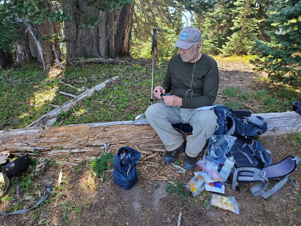
We continued about another two miles to camp on the far eastern shore of Fryingpan Lake with a view of Fryingpan Mountain. From here, find the Kincaid Lake Trail that heads north, rough and steep about 1.1 miles with nowhere near enough switchbacks. In a few places the tread was elusive. Where the trail tops out you can turn left and have an easy bushwack several hundred feet (not vertical) to the summit proper. There's a great operating position on a log, a spot that could accommodate a small tent, and some peek-a-boo views of the surrounding mountains. There was good T-Mobile, AT&T and Verizon coverage from the summit, but don't expect it anywhere else. An alternative might be to take the Kincaid Lake Trail #42 from just west of the Soda Springs Horse Camp and activate Carlton Ridge W7W/PL-027 and then approach Fryingpan Mountain from the north. A snip from the FS Topo map is included below - the blue "X" mark the locations of Carlton Ridge and Fryingpan Mountain - the full map can be found here: https://data.fs.usda.gov/geodata/rastergateway/data3/46121/fstopo/White_Pass_463712122_FSTopo.pdf.