Activation of San Jacinto Peak, High Point of Riverside County, California - 10,843 Feet, 3,305 Meters.
On vacation with my wife in Southern California, it was possible to combine hiking with Amateur Radio / SOTA. Based in Palm Springs, California, we ranged throughout the San Jacinto Mountains and Joshua Tree National Park for several days of excursions.
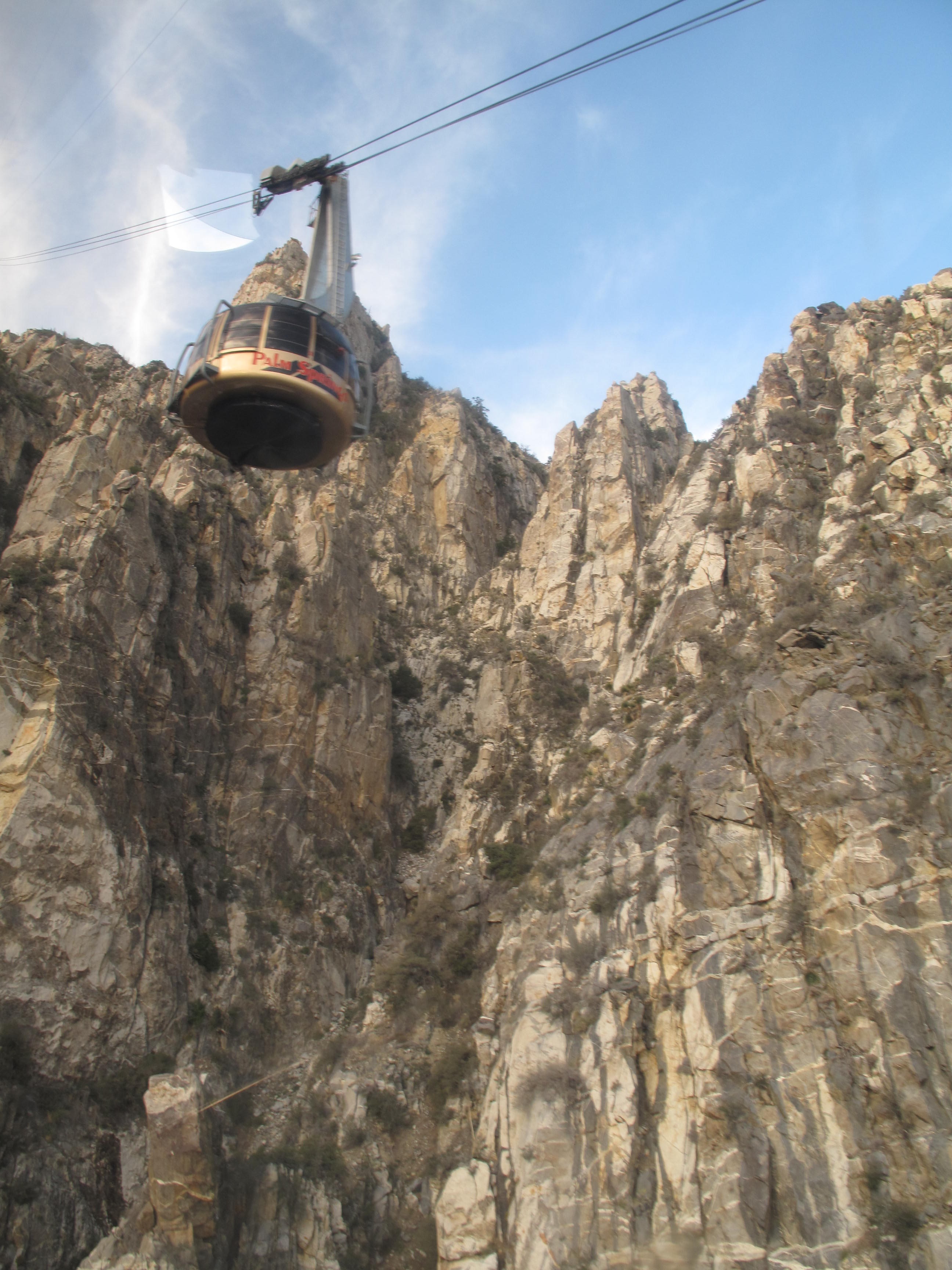
This hike started from the Palm Spring side of the San Jacinto Mountain Range, in California. We hopped aboard the Palm Springs Aerial Tramway (making sure to catch the first tram up at 8:00 AM), World’s Largest Rotating Tramcar, experiencing a breathtaking journey up the sheer cliffs of Chino Canyon. We Began the 10 minute ride at the Valley Station – elevation 2,643 ft. and ended at the Mountain Station – elevation 8,516 ft. You will immediately feel the elevation as you begin to move around at 8,500 + elevation, especially if you live at sea level as we do. After checking in and picking up the self issue day use permit at the San Jacinto State Park Ranger Station, we hit the trail. This hike covers multiple jurisdictions: California State Parks, US Forest Service, and San Jacinto Wilderness Area.
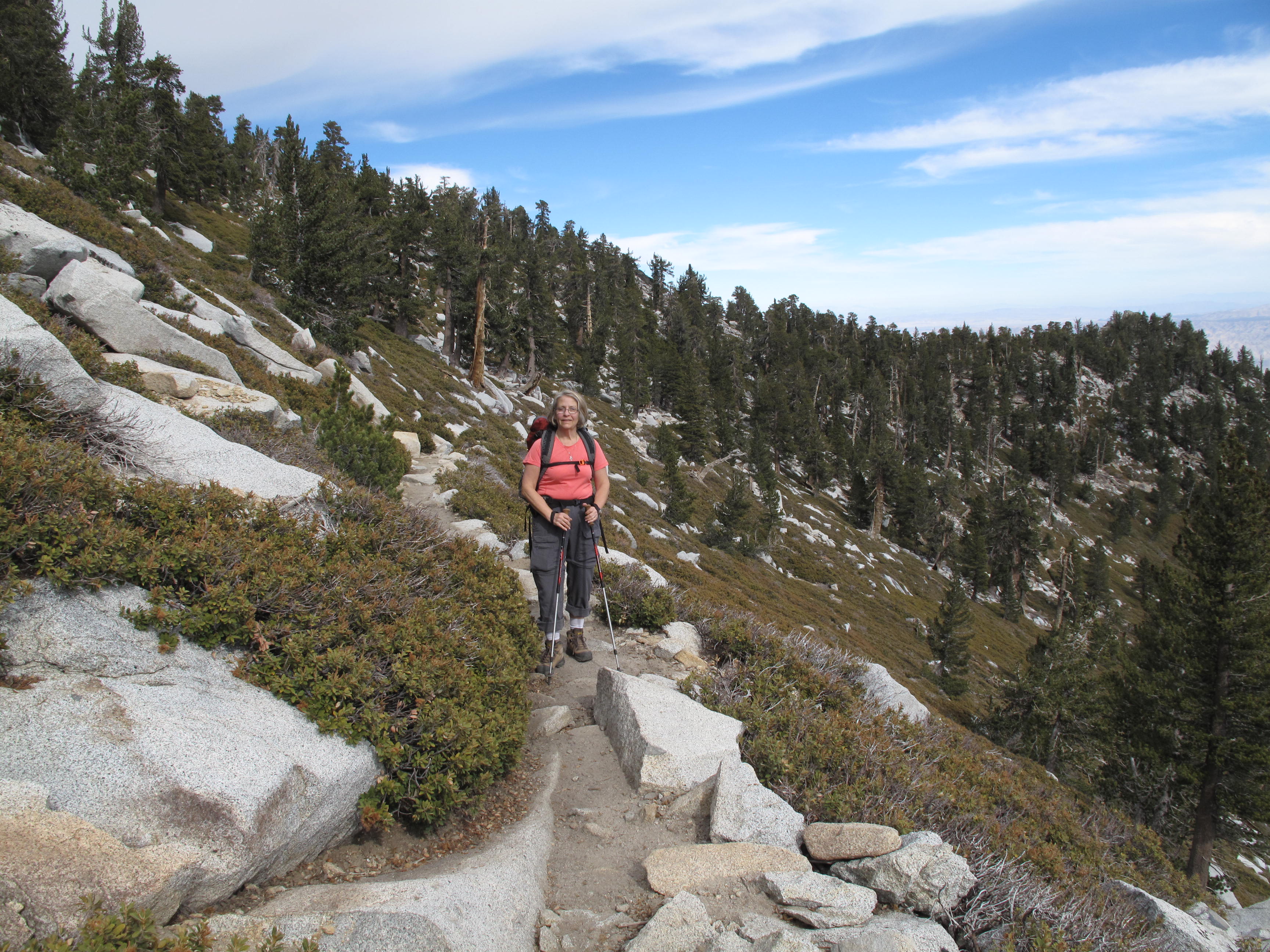
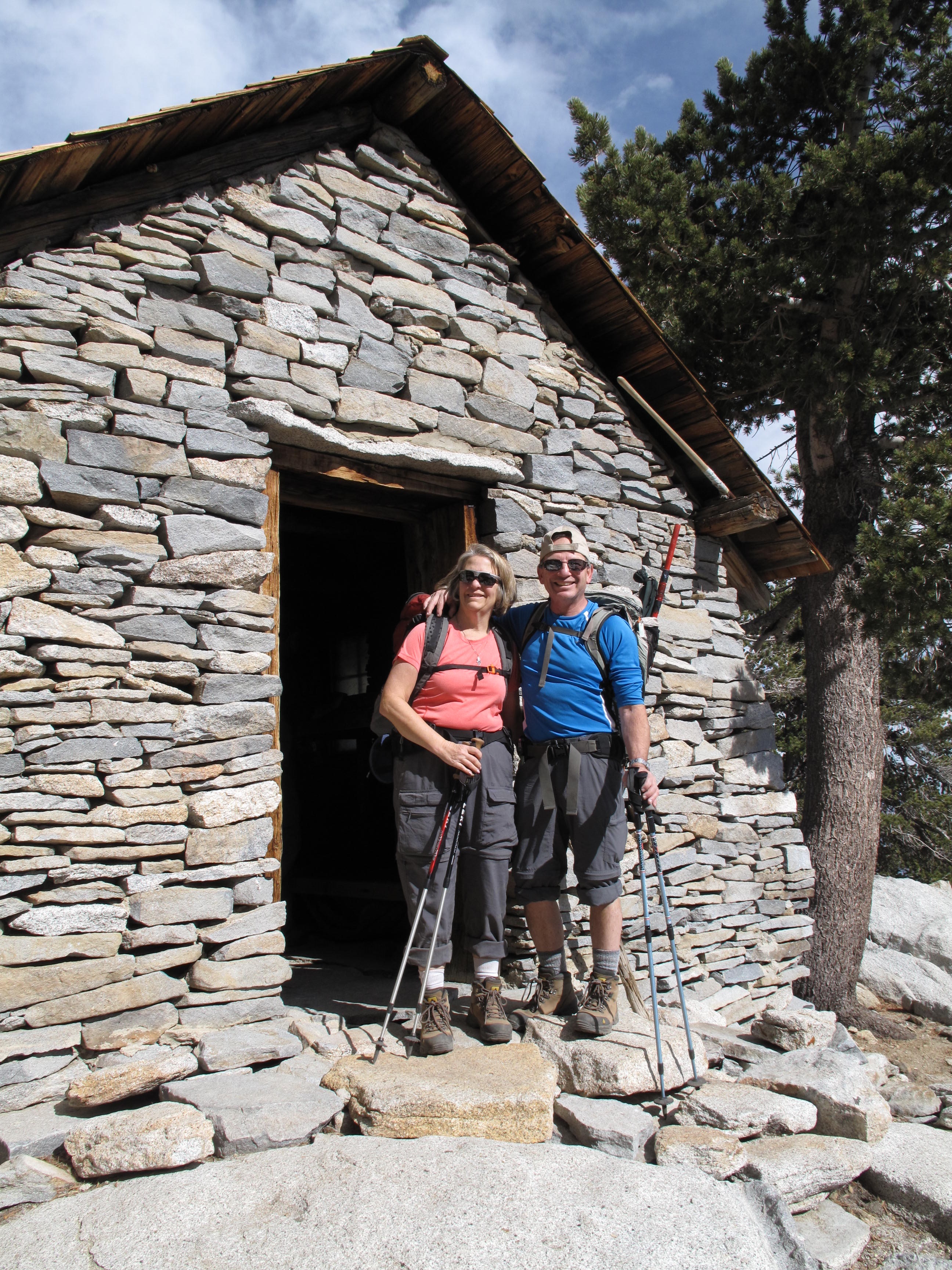
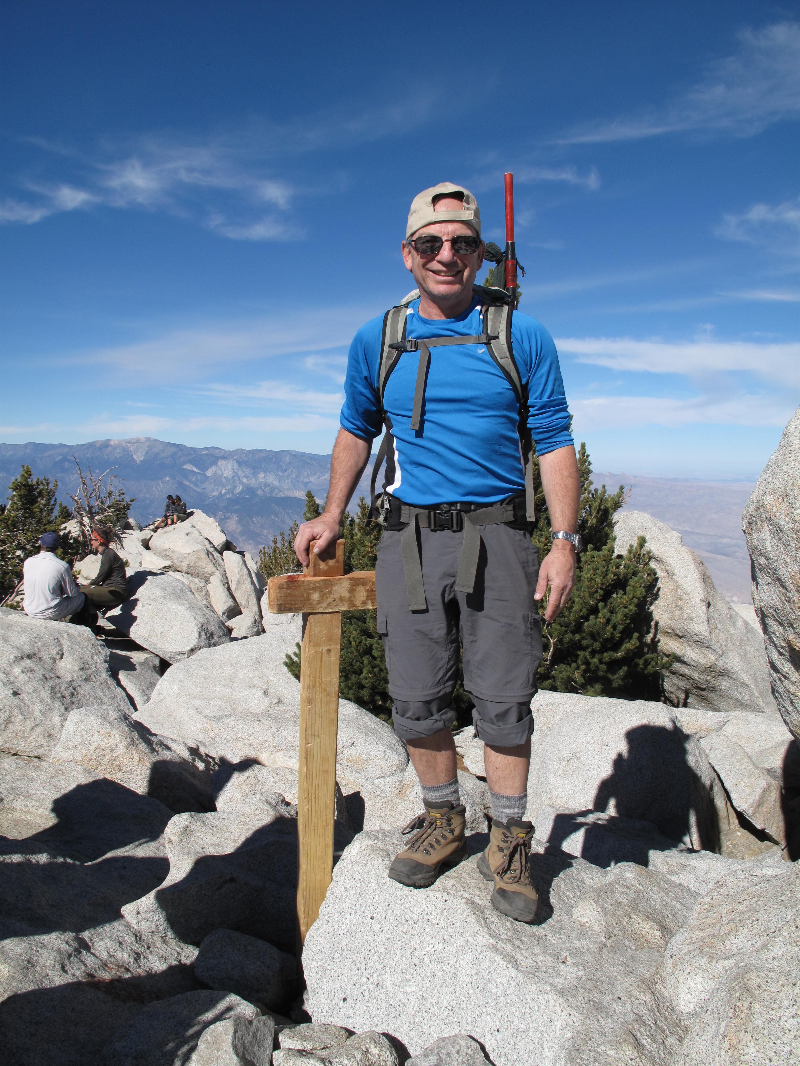
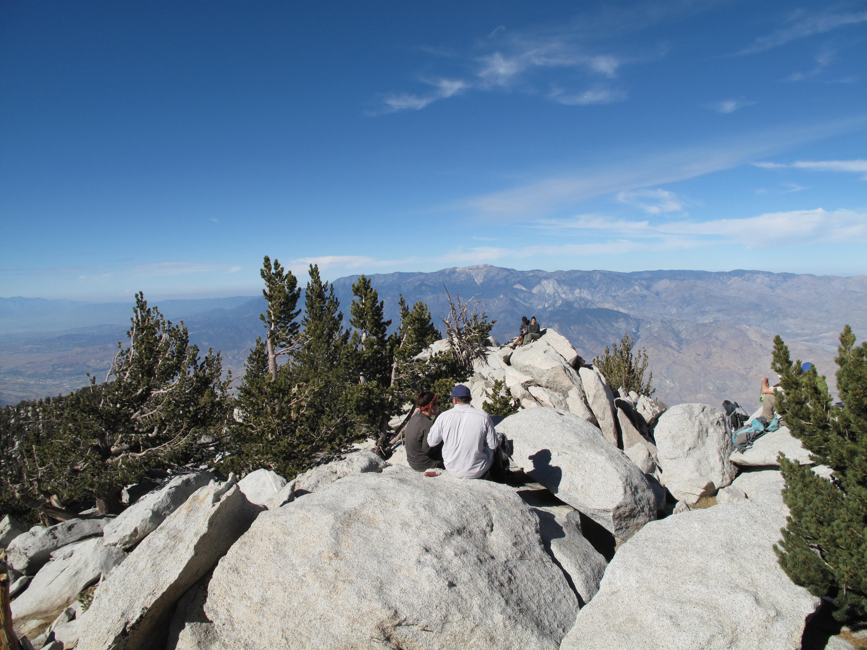
The hike itself is approximatly 12 miles round trip, gaining 2,500 feet, including some minor ups & downs. The trail is well marked, popular and very scenic, especially the top 3 + miles to the summit. The summit was mobbed, which detracted a little bit from enjoyment, and SOTA Activation. Above the spectacular stone mountain hut, just below the summit, the final 75 feet to the summit are a bit of a scrable up a boulder pile of clean granite rock, very enjoyable.