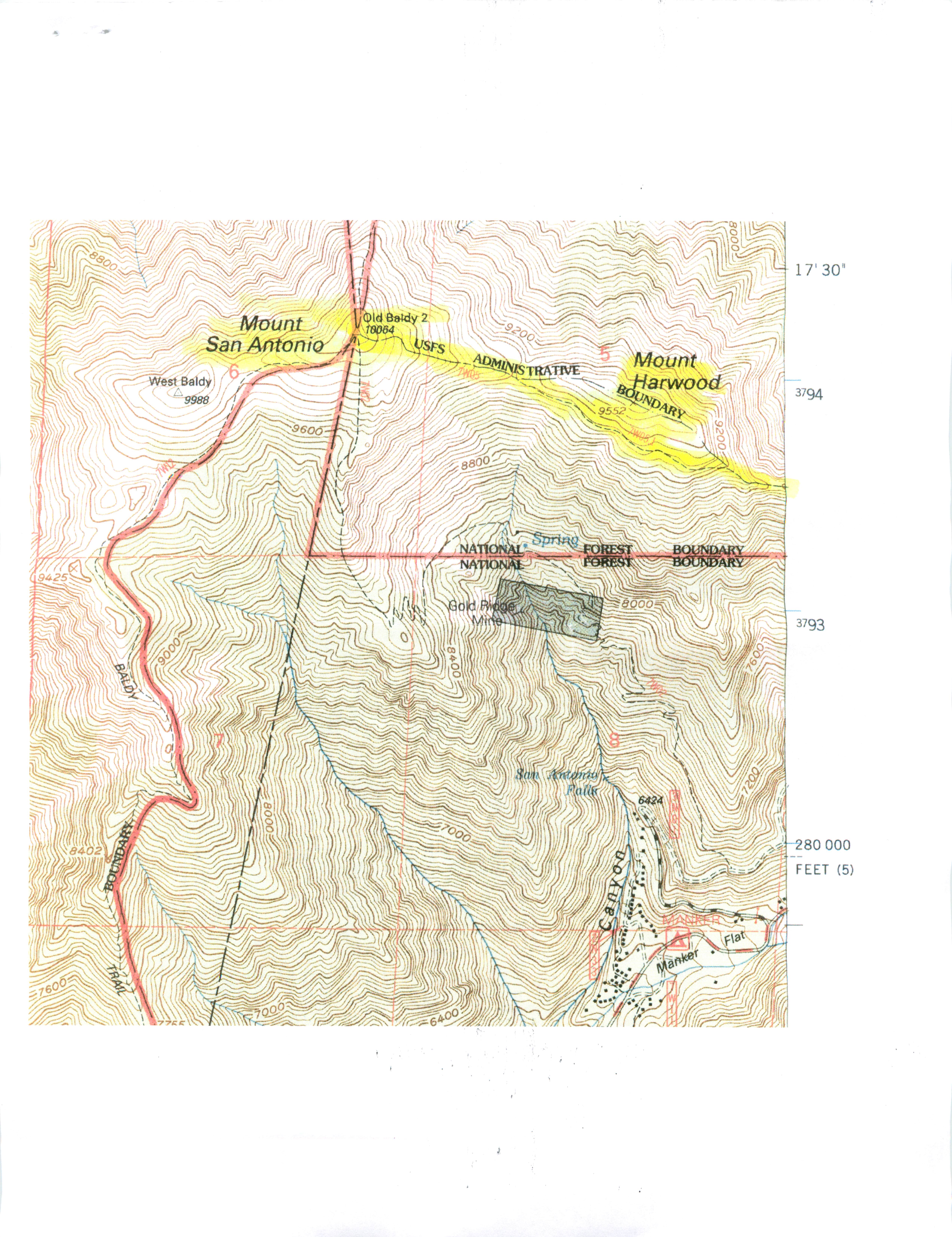
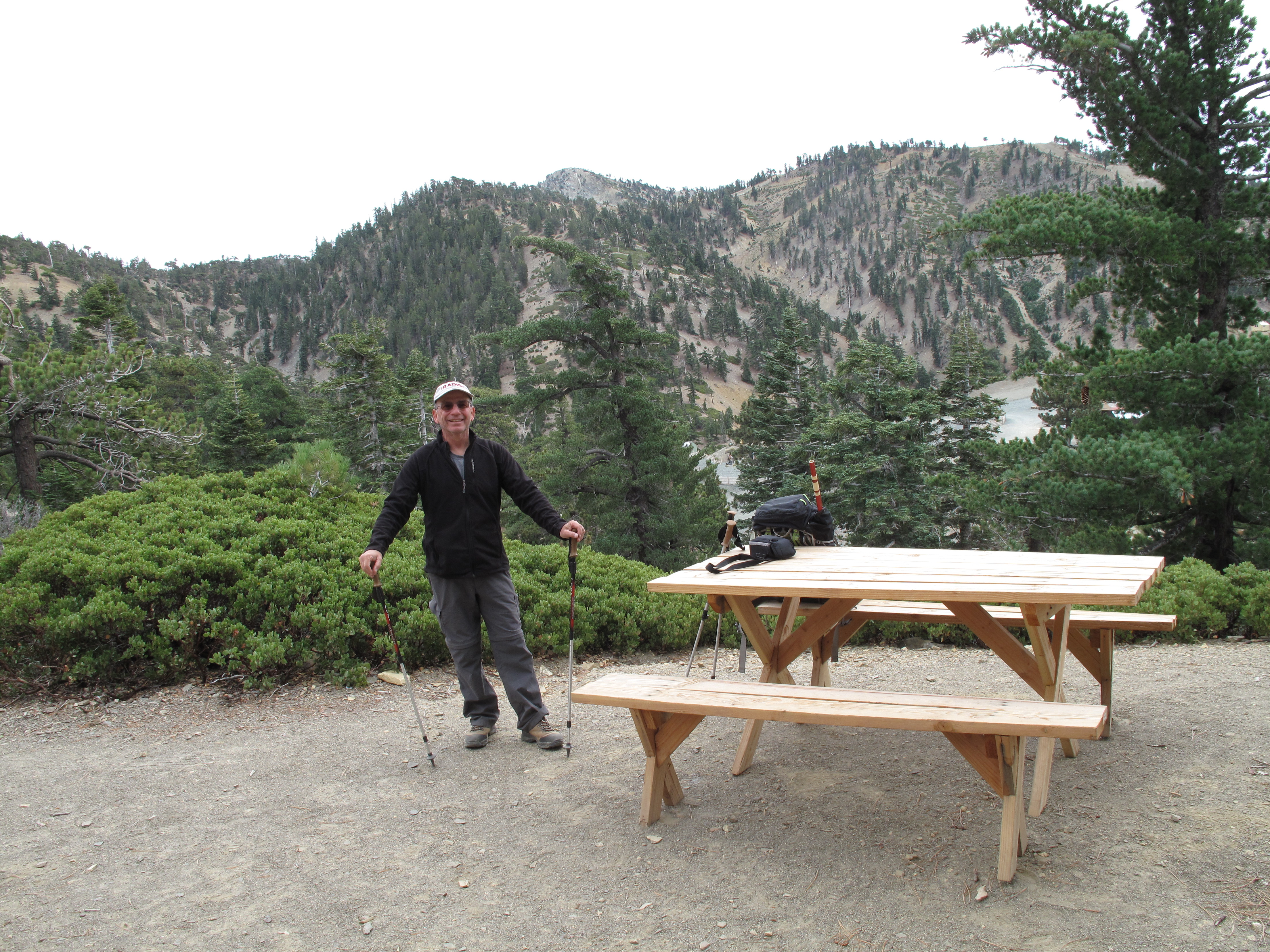
On a recent trip to LA LA Land, to visit family, we decided to try our luck at "Glamping" (Glamor Camping) at Mount Baldy Tent Cabins, 7,800 feet elevation, below Mount San Antonio. Also known as "Mount Baldy", 10,064 feet elevation, it is the king of the San Gabriel Mountains which tower above the Greater Los Angeles Basin. This was the first year these tent cabins were set up and available, and we figured they would be an ideal base for some near-by SOTA Activations. We purchased a package deal, including ski lift ride up and down from the parking area at 6,500 feet elevation, to Baldy Notch, at 7,800 feet, meal tickets at the full service Notch Restaurant and two nights lodging in the Tent Cabins. This is report 3 of 3 dealing with the activation of Mount San Antonio (Mount Baldy). Reports on the activations of Telegraph Peak and Timber Mountain are separate.
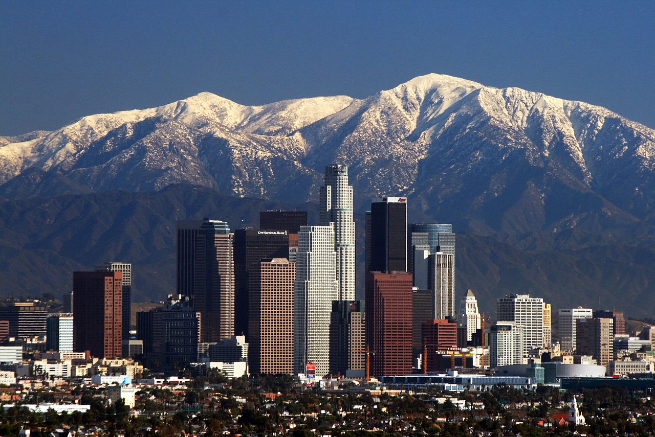
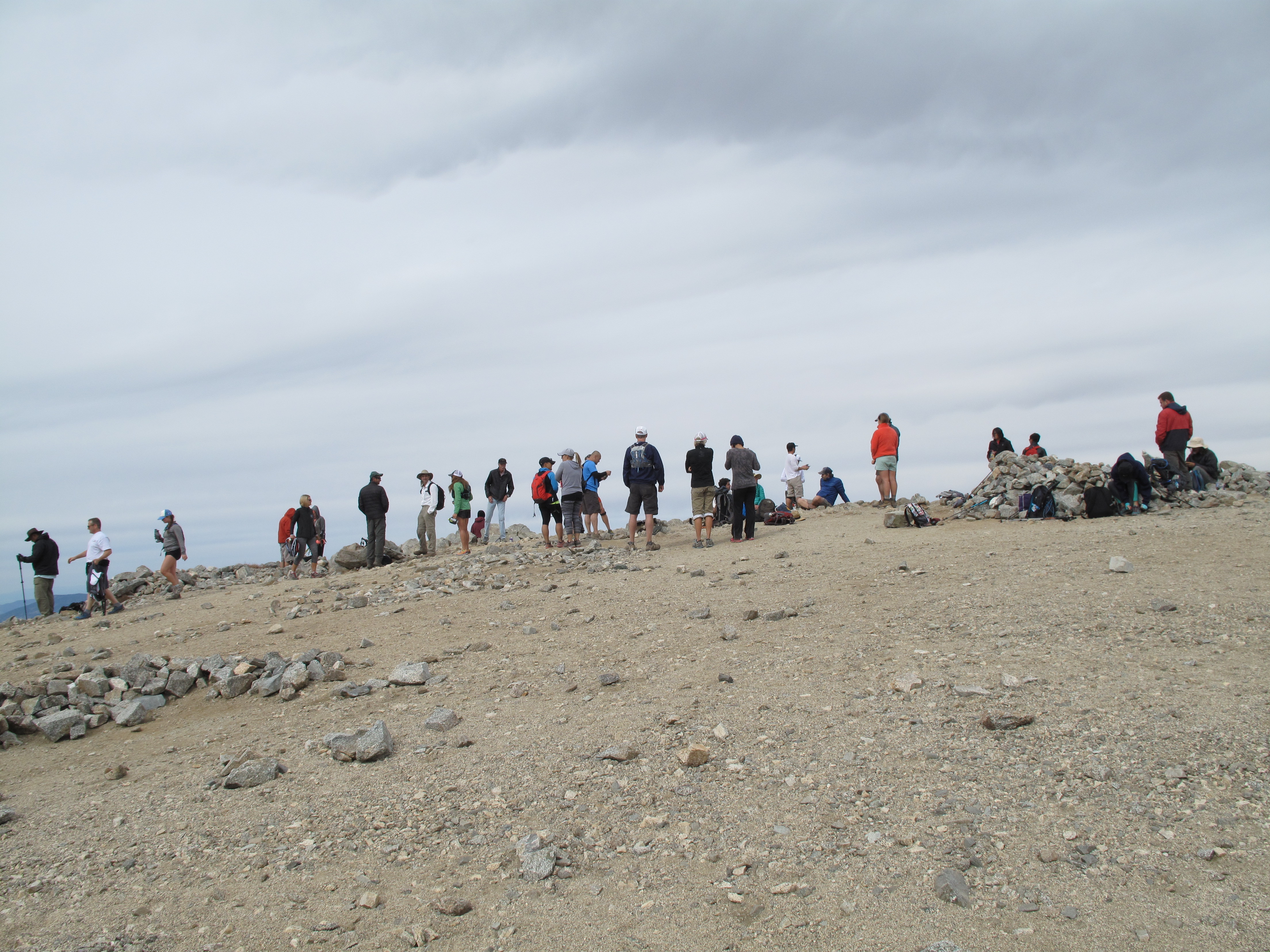
Mount San Antonio, AKA "Mount Baldy"...Monarch of the San Gabriel Mountains, at 10,064 feet is only eclipsed by San Gorgonio Mountain 11,502 feet and Anderson Peak 10,860 feet, both in the San Bernardino Mountains, approximately 70 KM east / southeast of Baldy, as the highest mountains in Southern California. With it's proximity to the Greater Los Angeles Basin, and it's 13 to 18 million population, Baldy certainly attracts the crowds. On any given weekend, there may be hundreds of marginally equipped and prepared souls slogging their way up its slopes. On October 25, 2015, I joined the throngs in a trek up to the summit. I was well acclimatized and in shape, having been at 7,800 feet and above for nearly 40 hours before starting the ascent.
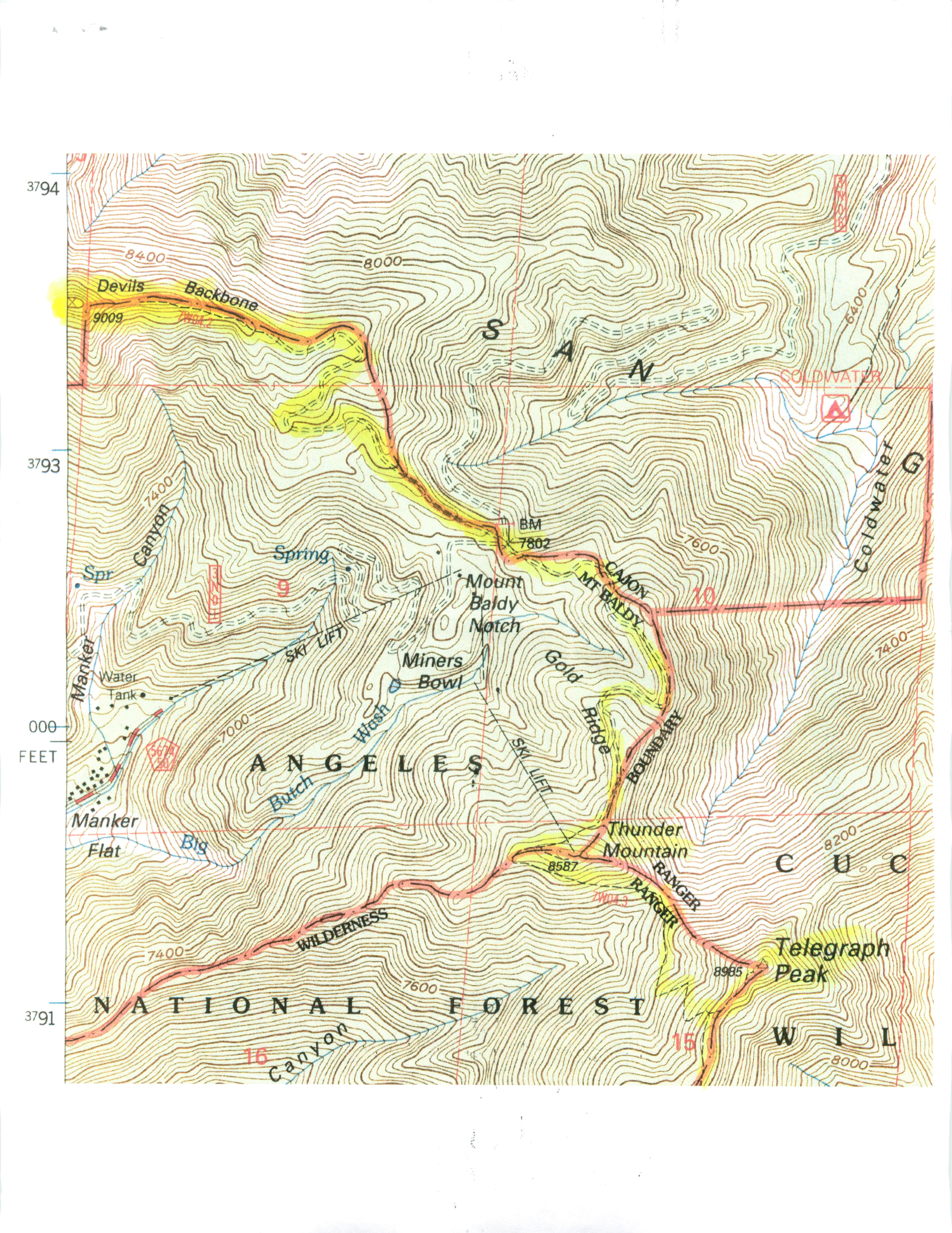
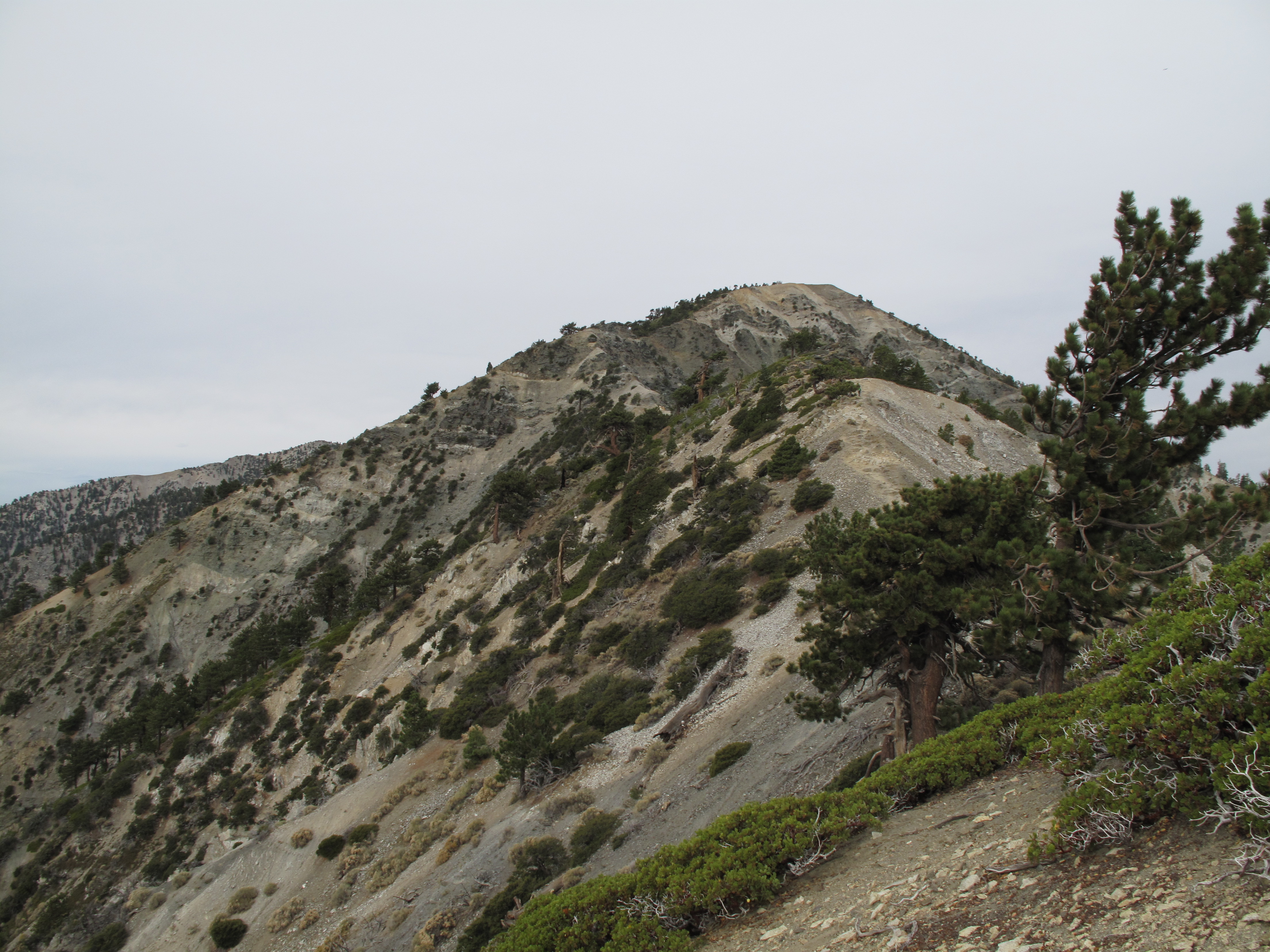
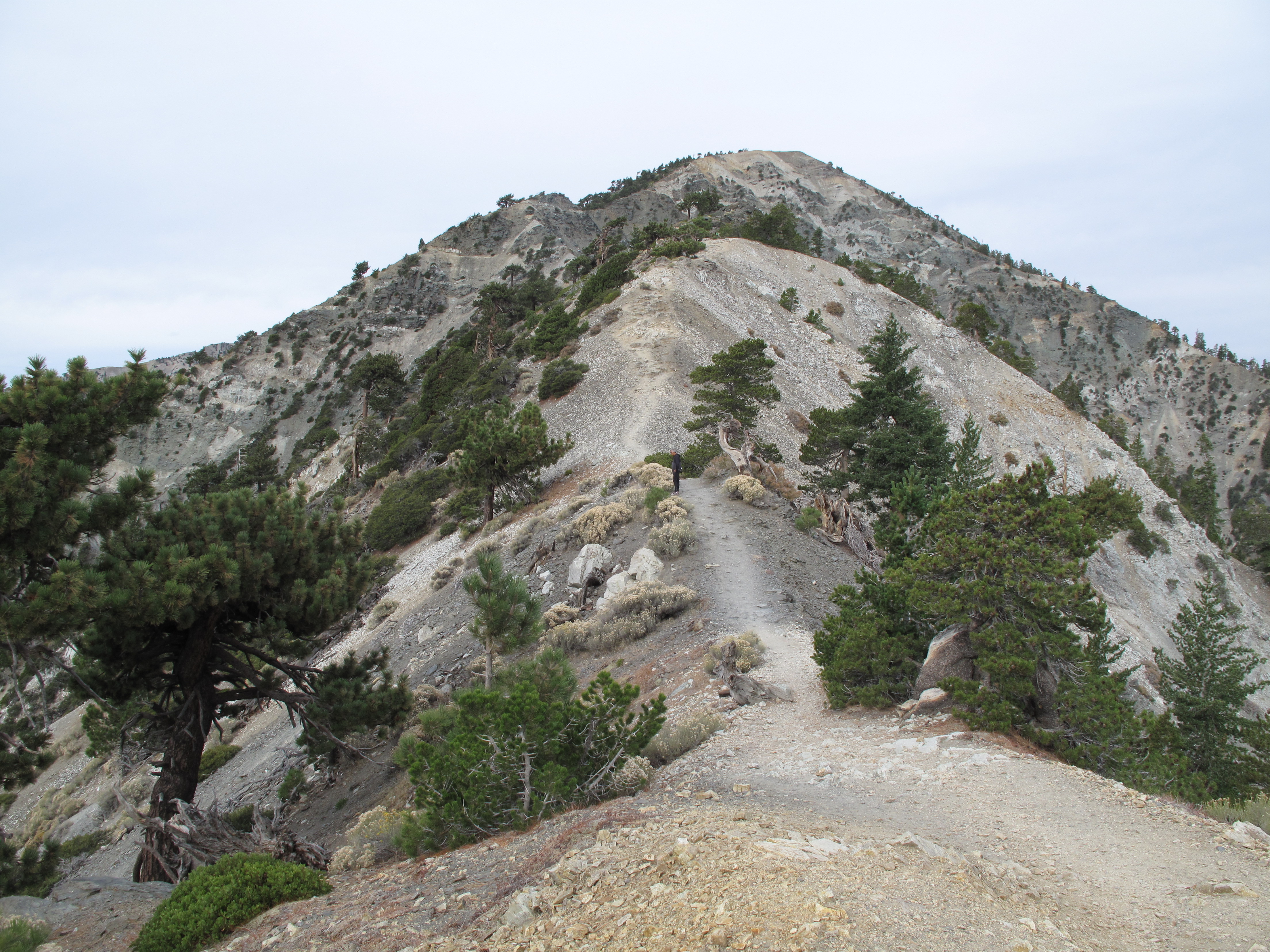
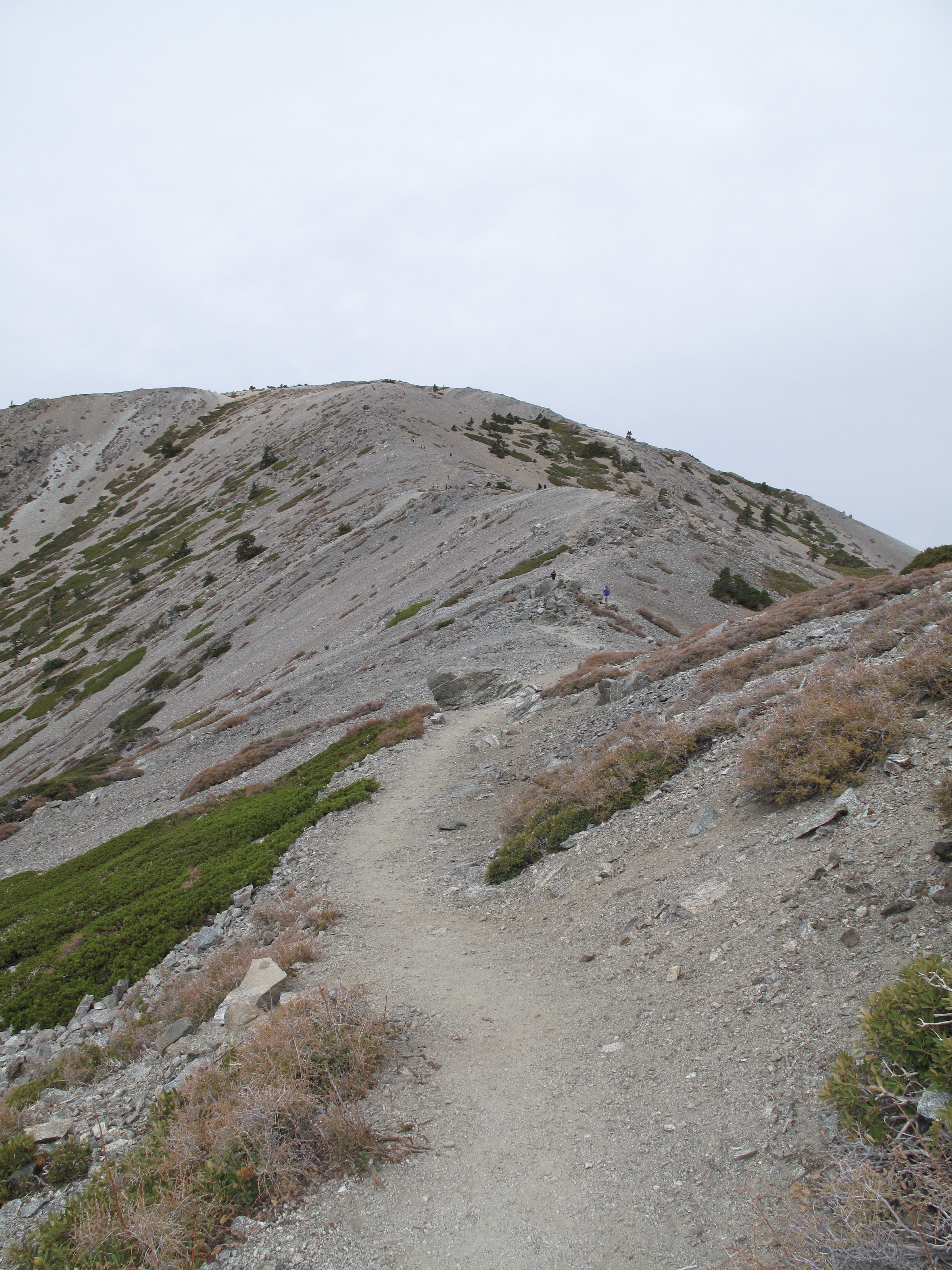
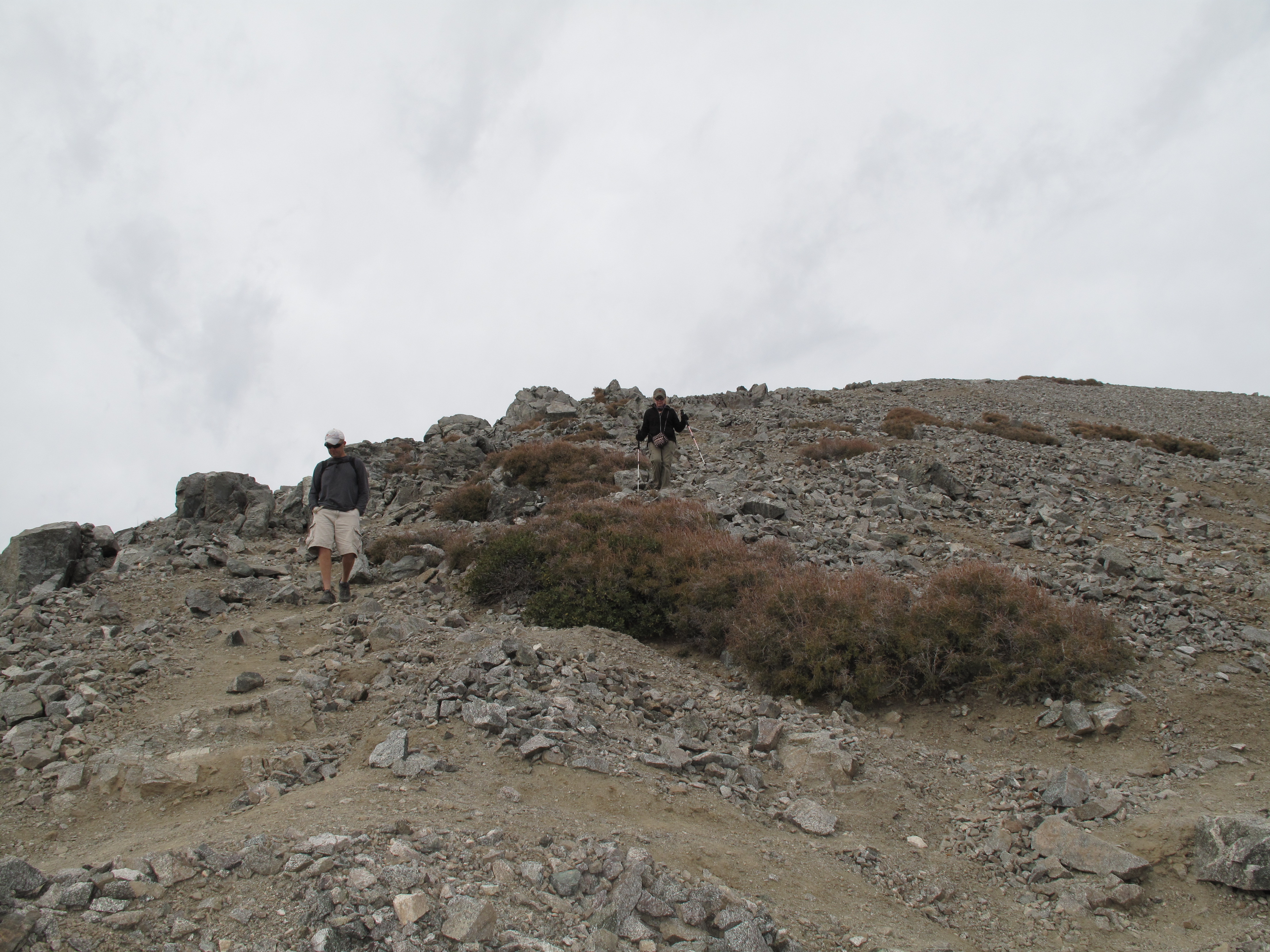
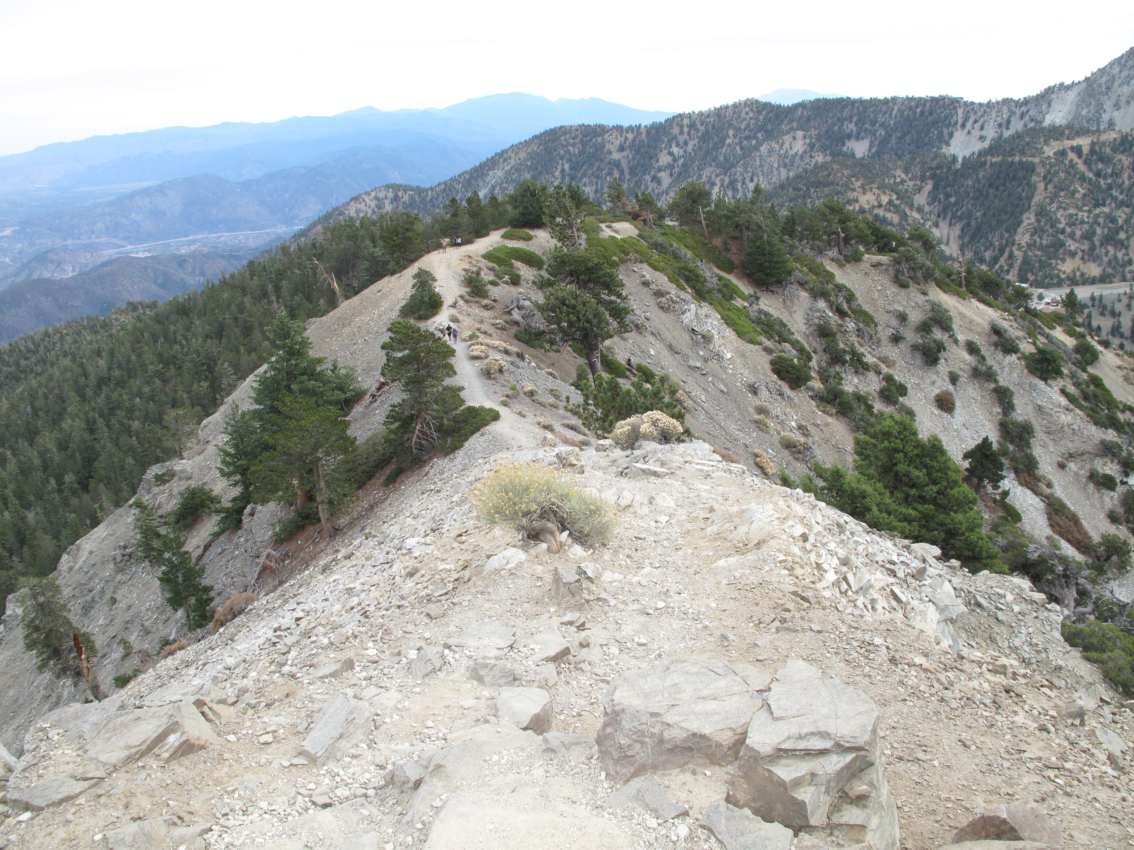
From Baldy Notch, where we had been "Glamping" for a couple days, the ascent runs over the ski area service roads, the infamous Devils Backbone Trail, and on to the summit. The hike is 6.4 miles RT and 2,262 feet elevation gain. The throngs of hikers provided comic relief, many festooned in skin-tight lycra, sneakers and shivering in the morning chill, and slight breeze. The weather was not as nice as the preceding two days, having high clouds, very filtered sun, and a wind of 5 -10 MPH. After a long double activation and hike of the Three Tee's Trail the previous day, the best I could muster was a departure from the Baldy Notch at 9:00 AM. I was on the summit at 10:25 AM, having taken a reasonable pace, so as not to suffer ill effects of altitude sickness, and one too many beers at the Notch the night before. Along the way I passed many that had started earlier, but had not had the advantage of acclimatization. I look forward to a winter ascent, where the technical challenge may be greater, and the masses not there.
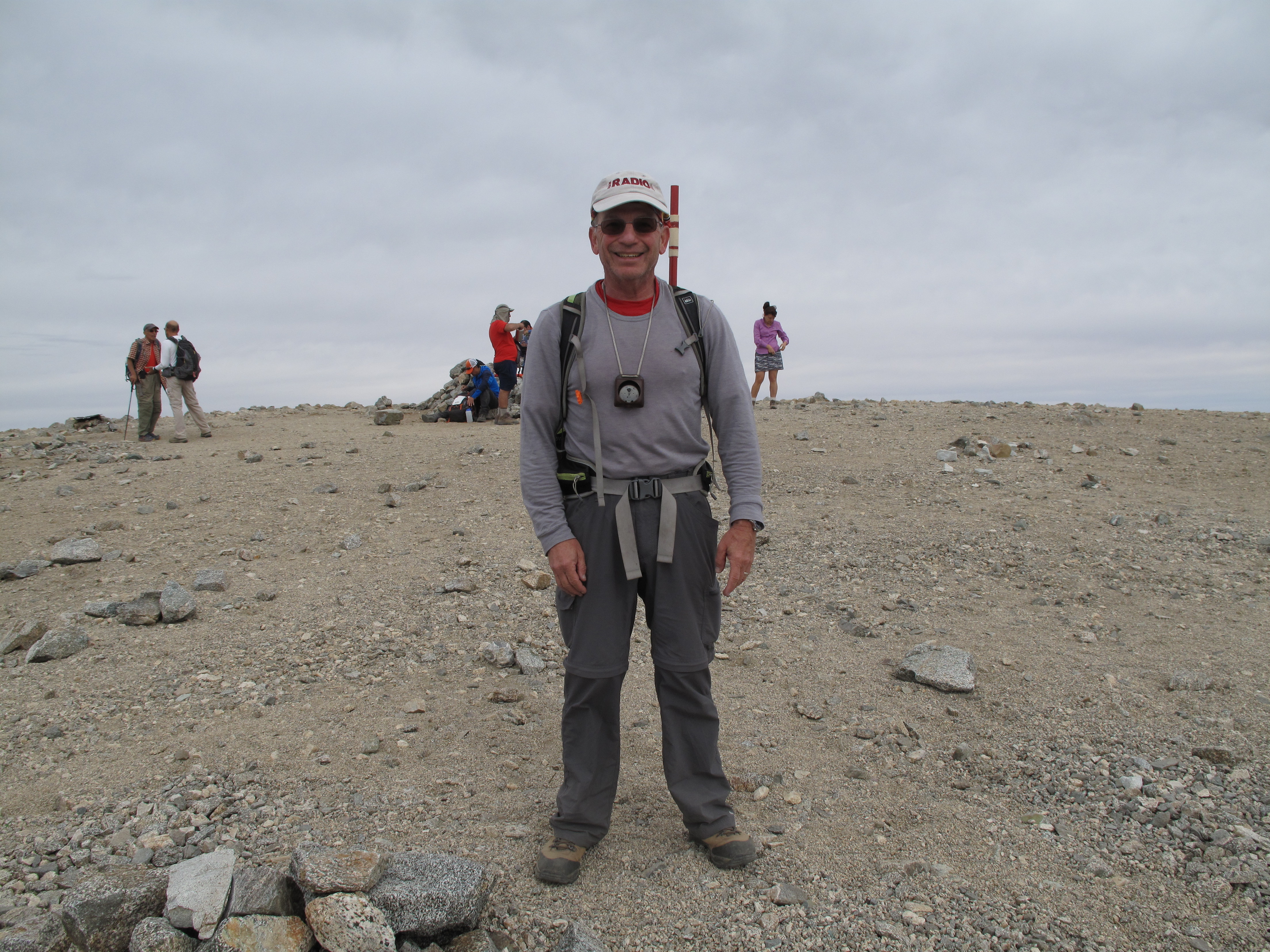
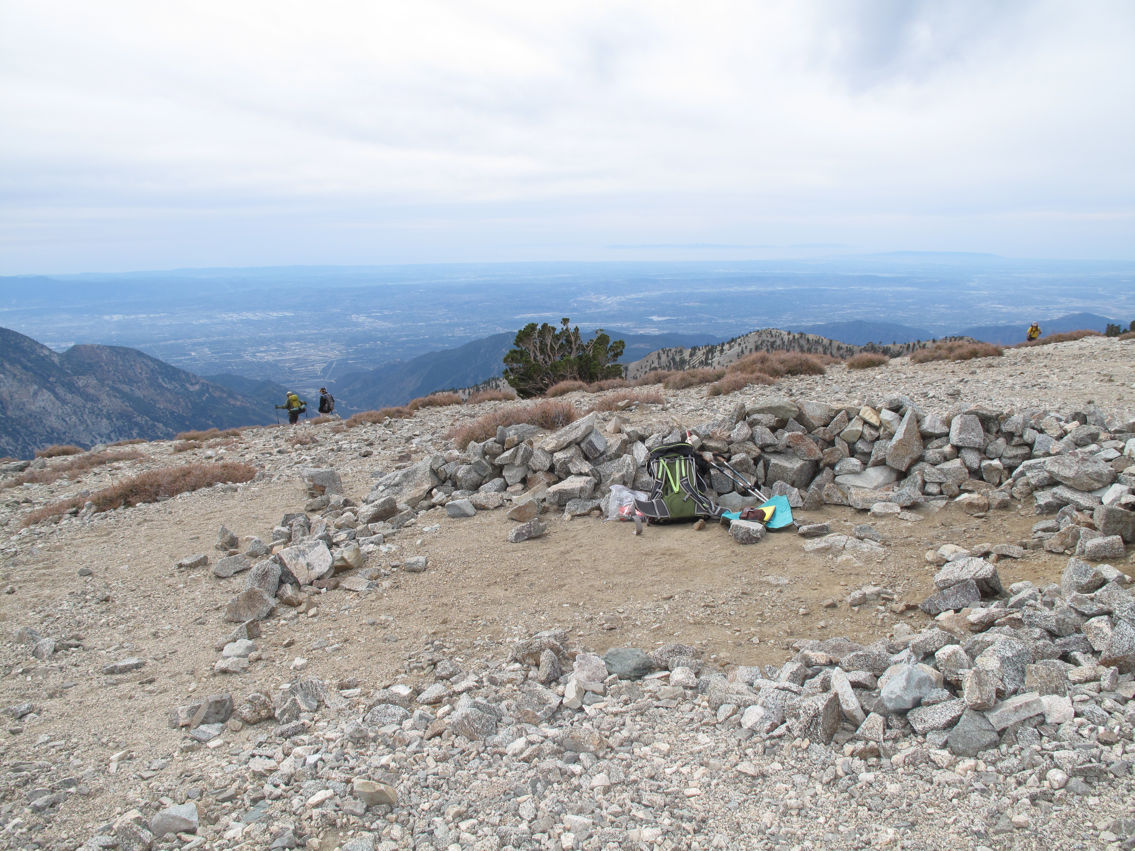
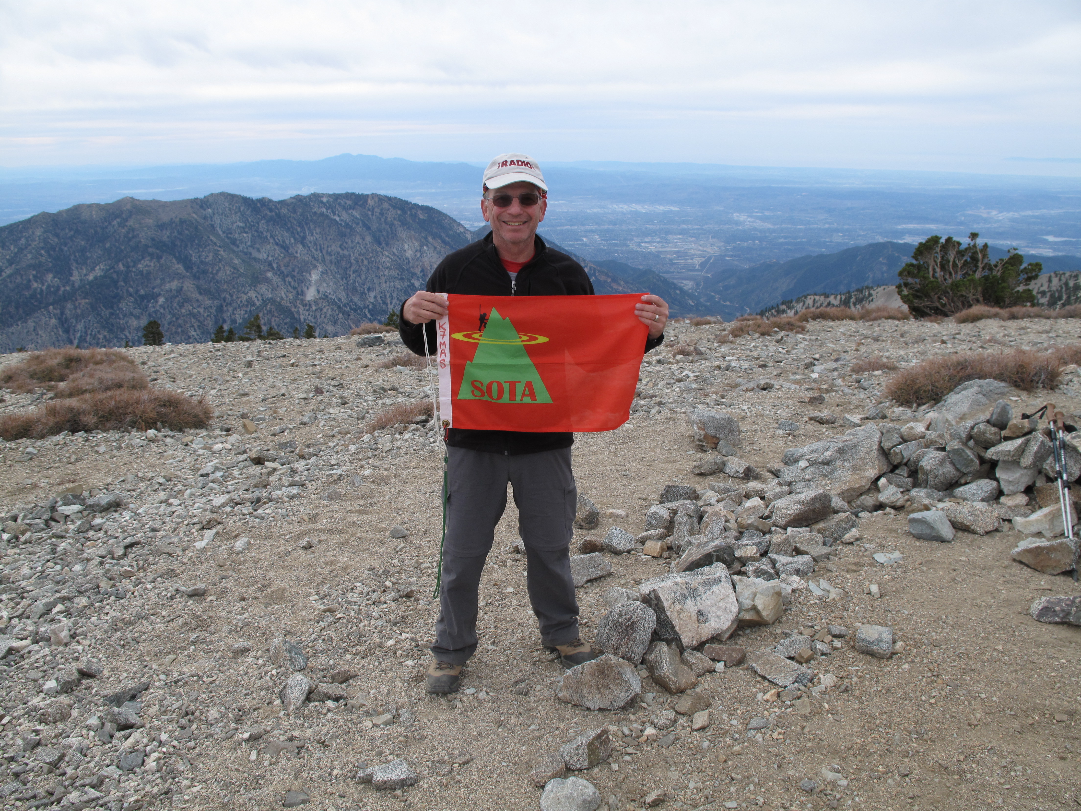
I stayed on the summit more than an hour, enjoying the Activation, answering questions about Ham Radio and SOTA, and working a few chasers that had followed me on all three of the Activations accomplished on October 24 - 25, 2015.
Once again the Activation was entirely 2M FM, and again I did not deploy my 4 element Yagi antenna. I am grateful to all of the Chasers and my contacts. I worked: KM6CEM; AG6UK; N6OUI; KR6RG; NG6R; KI6IUJ; K6CMG; K6QCB; AA6P; AD6GN; N6JZT; K6TDI; AB6AZB; KD6NJR; KD6CQS; K6MET; KK6QMS and W6OH.
Thank you so much to a young lady by name of Carrie Johnson, not a Ham Radio Operator, who took some pictures of me on the summit of Mount San Antonio (Baldy). May you live long and prosper!