On a recent visit with some good friends in Leucadia, California (a Pacific beach community, part of greater Encinitas), I spied a cluster of 4X - 6 point SOTA Summits in the Cuyamaca Rancho State Park (California), in eastern San Diego County. This park is approximately 70 KM east-south-east of Encinitas, and can be reached from both the south and the north. We chose the north approach, on State Road 79, through the quaint town of Julian, a mining / pioneer town, renowned for it's great apple pies. If there is one thing I like almost as much as SOTA Activating...it's great apple pie! We decided to head over to Cuyamaca Rancho SP, and try Activating Stonewall Peak, the easiest of the 4 SOTA Summits in the area - as a way of scouting out a future overnight trip to the area.
After a liesurely breakfast and coffee, we were on our way. Being a Monday morning commute hour, we wanted nothing to do with the heavy traffic heading south into San Diego, so we ratified our decision to head north, then east, then south into Cuyamaca Rancho SP. Our tactic was correct, as traffic was relatively light, with most cars heading west to I-5. We took SR 78 east to SR 79 east and south into the town of Julian. From Julian, SR 79 continues south into the park. See:
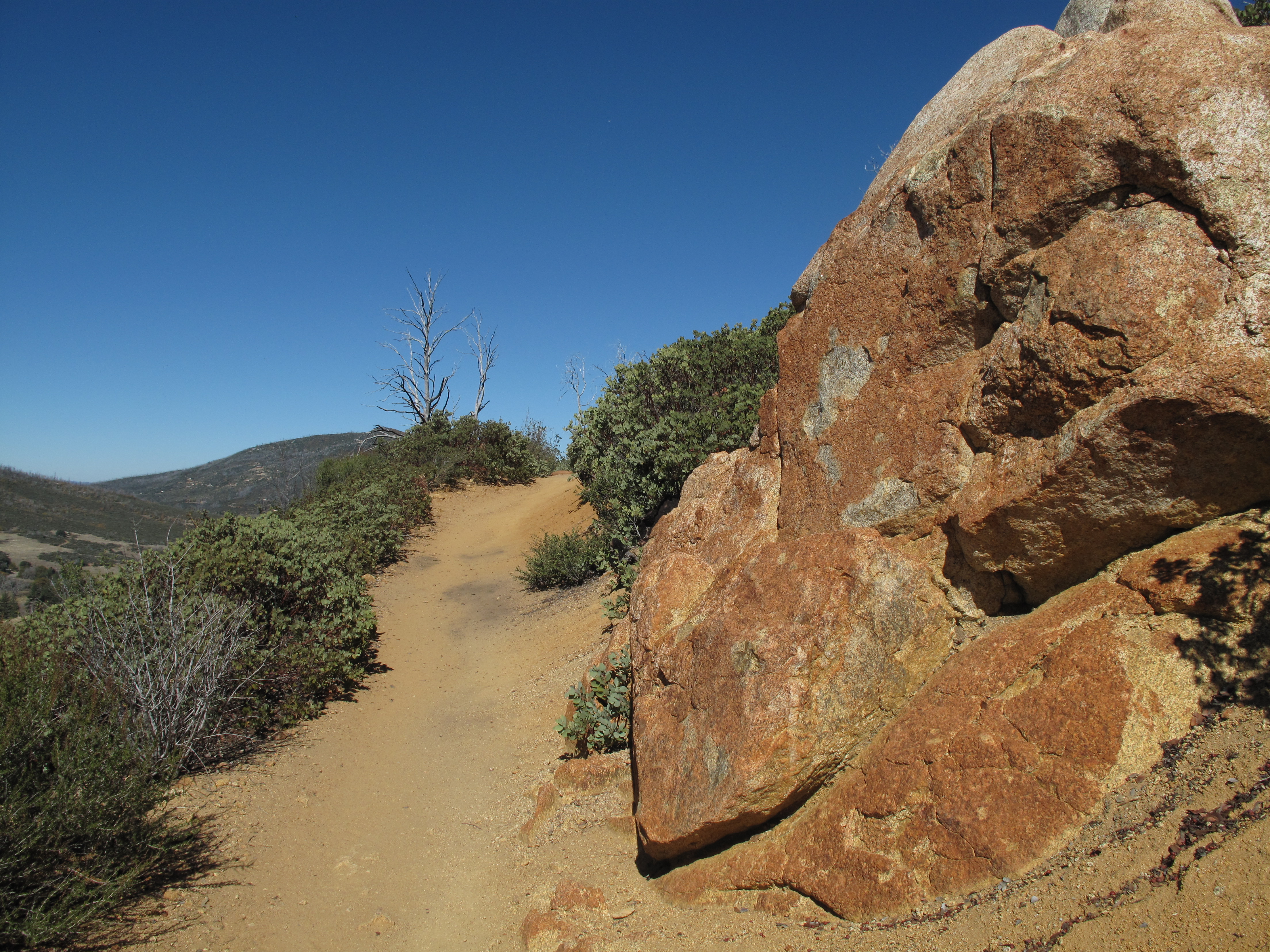
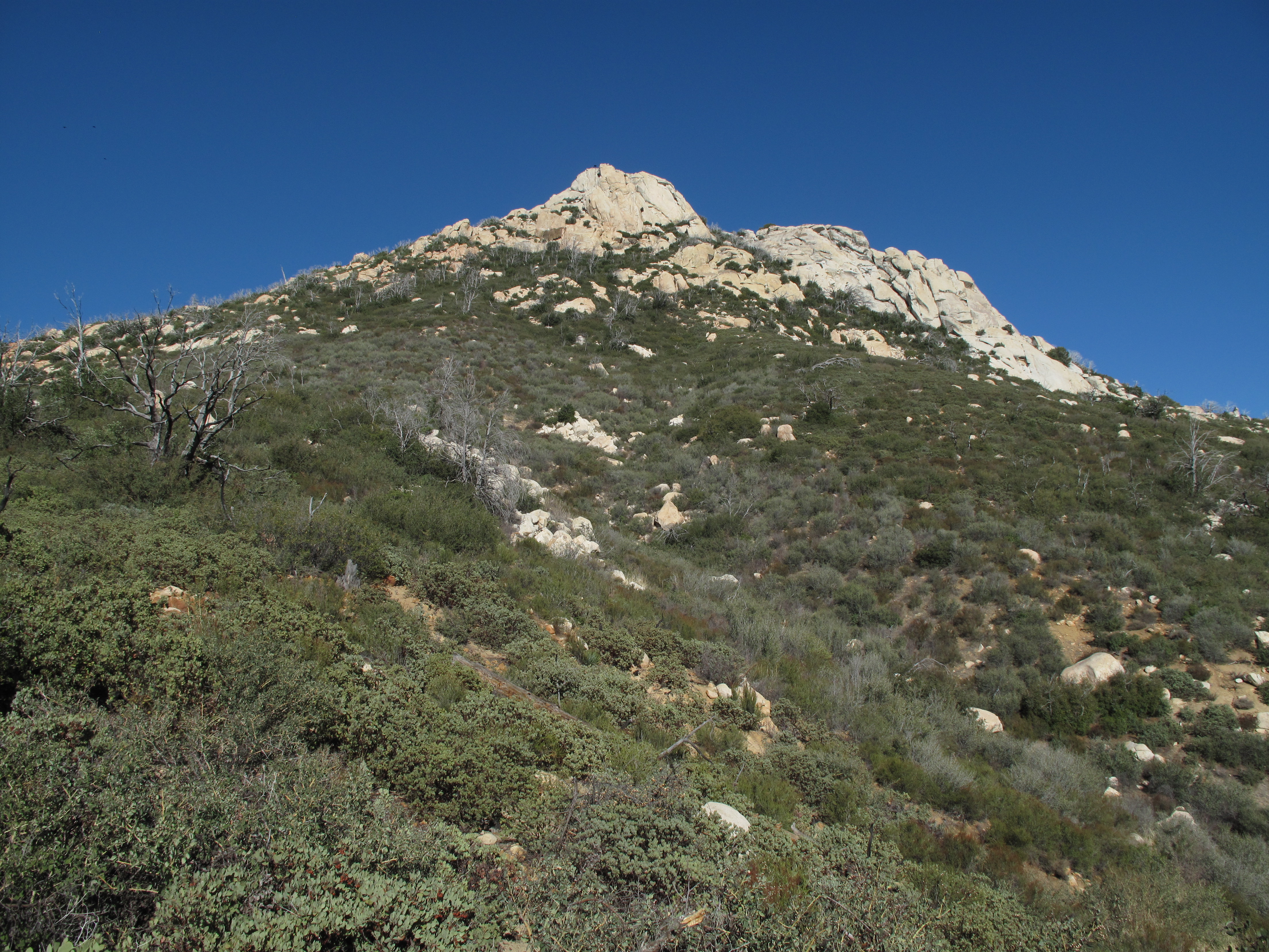
Attesting to the severe drought, Lake Cuyamaca was a shadow of its full glory. The area as a whole is very scenic, with Igneous Rock mountains in the 5,500 to 6,500 foot elevation range, transitioning to much drier terrain further east. The vegetation is a mix of scrub, oak, pine and desert flora. See:
http://www.parks.ca.gov/?page_id=667
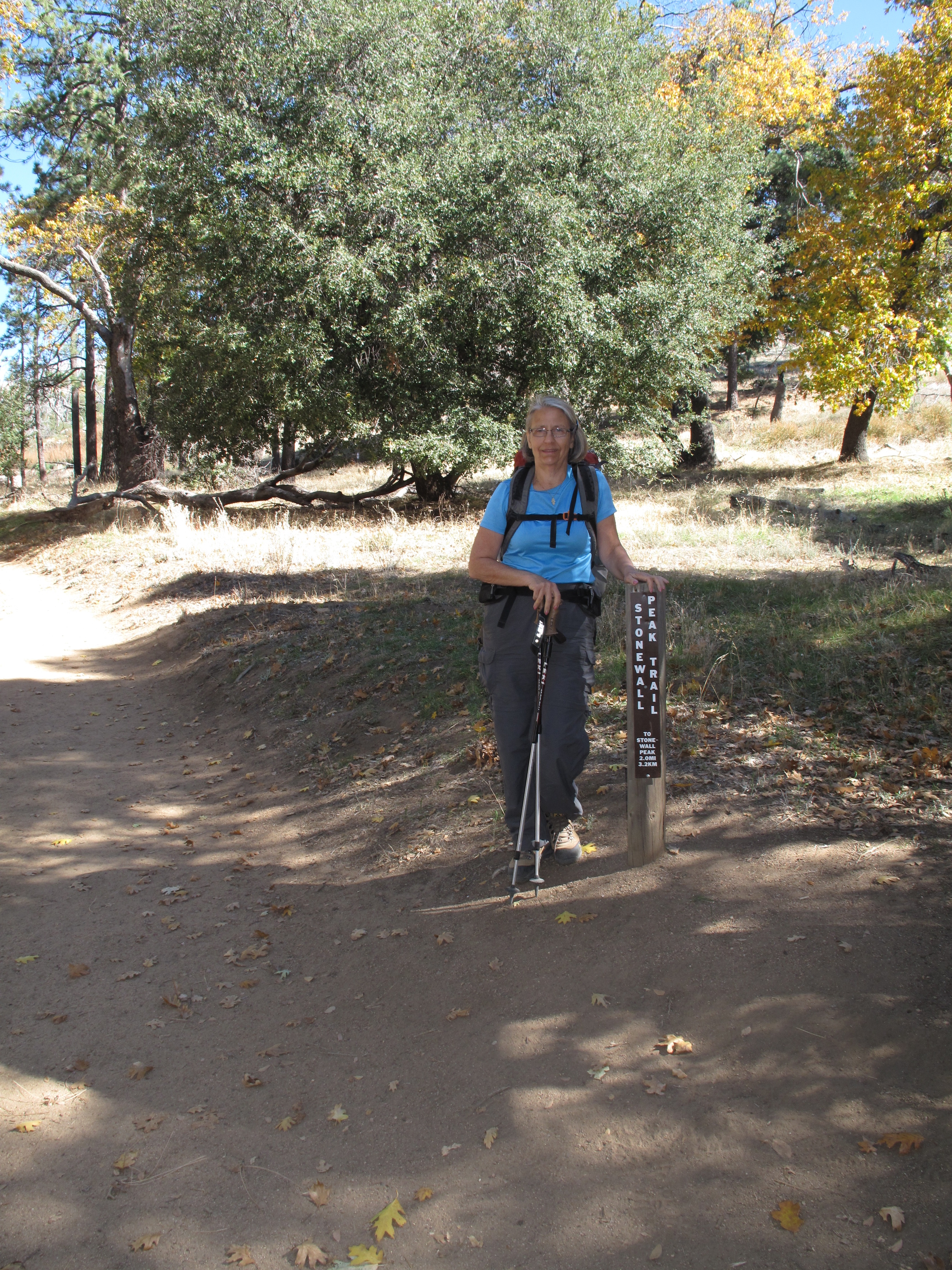
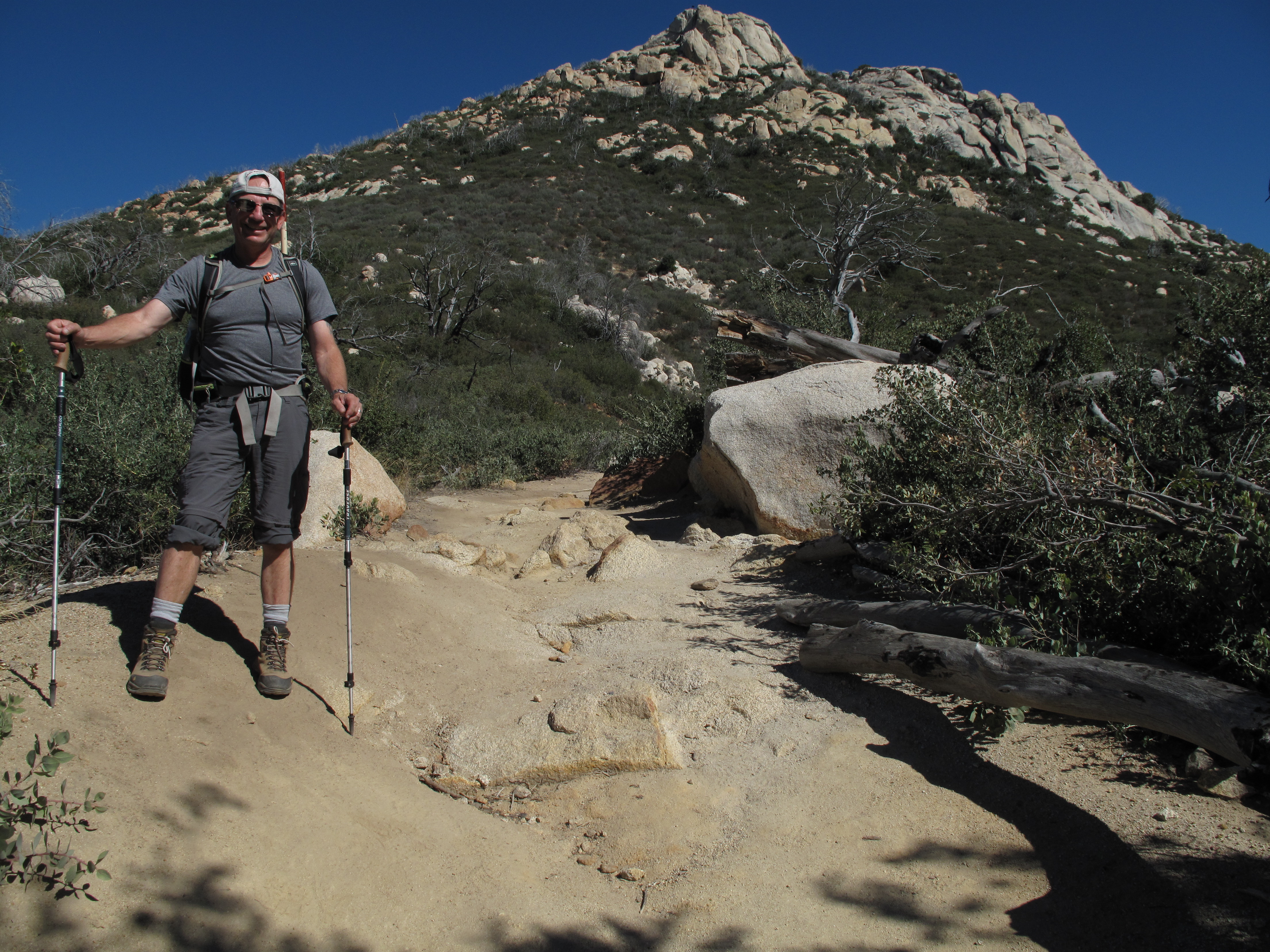
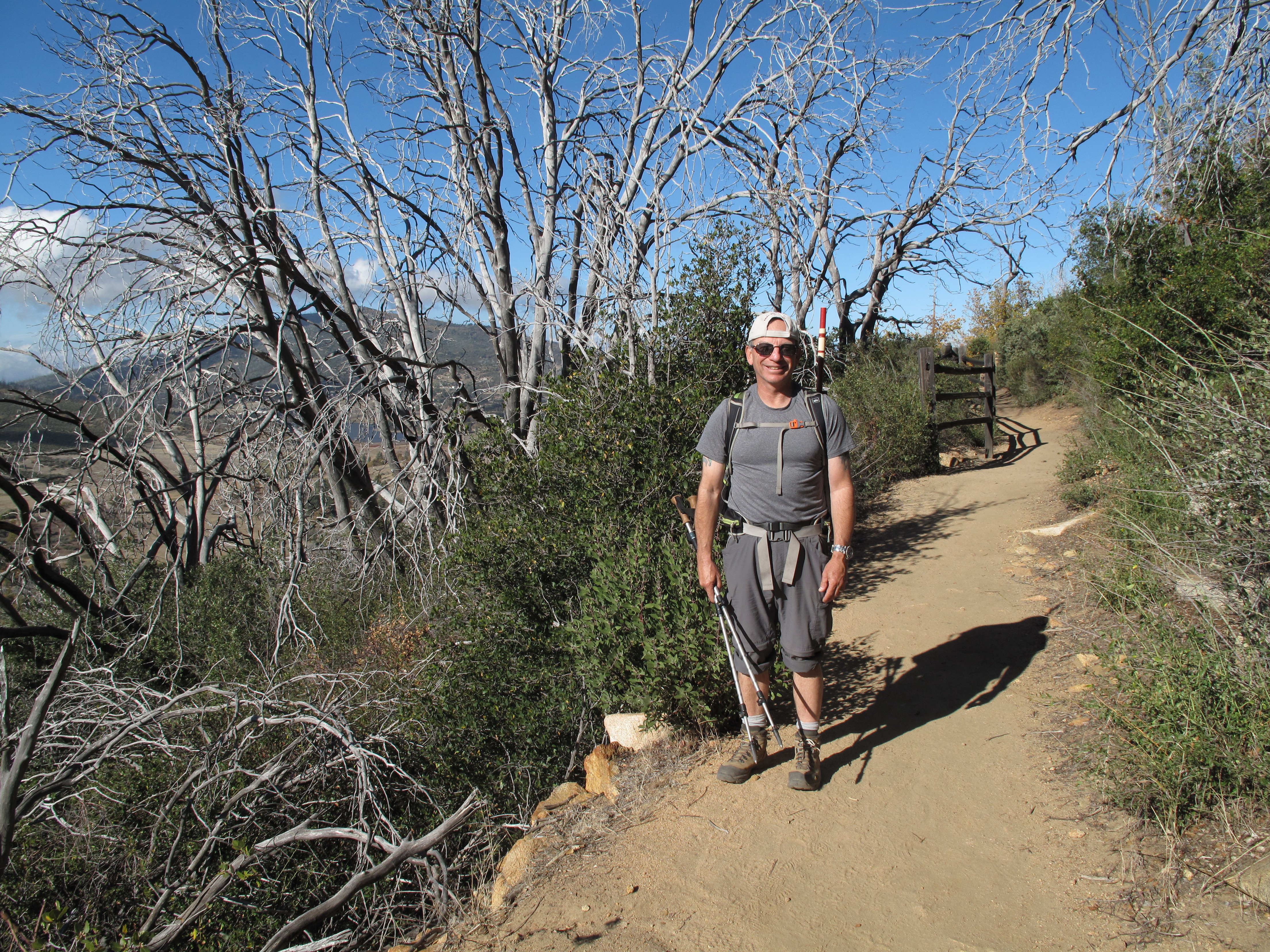
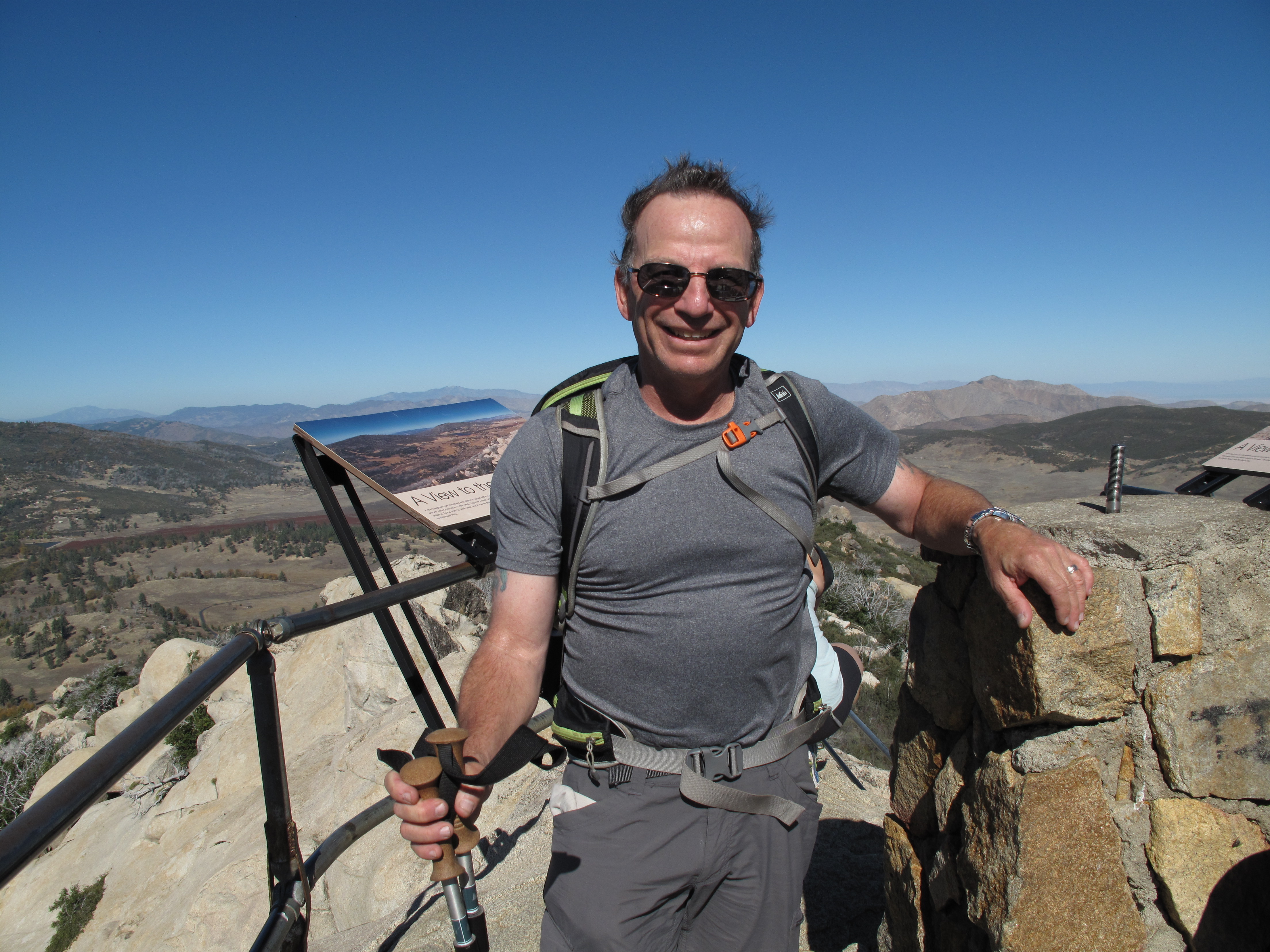
We parked at Paso Picacho Campground Day Use Area, where the day fee is $8.00. There are restrooms, picnic tables and an 85 unit overnight camping area. The trail head for Stonewall Peak is directly across SR 79 from the campground. The trail to Stonewall is very scenic, evenly graded and is only 4 miles RT, gaining 840 feet in elevation. After some of our recent outings...this was...well...a walk in the Park. It was very windy that day, with the weather forecast calling for a significant change of rain, with possible T-storms late in the afternoon and into the night. Our entire hike was under blue skies. The area having been burned some time in the recent past, leant a "whitchy" atmosphere to the trail. Another interesting note: The Pacific Crest Trail runs approximately 4 miles due east of Stonewall Peak.
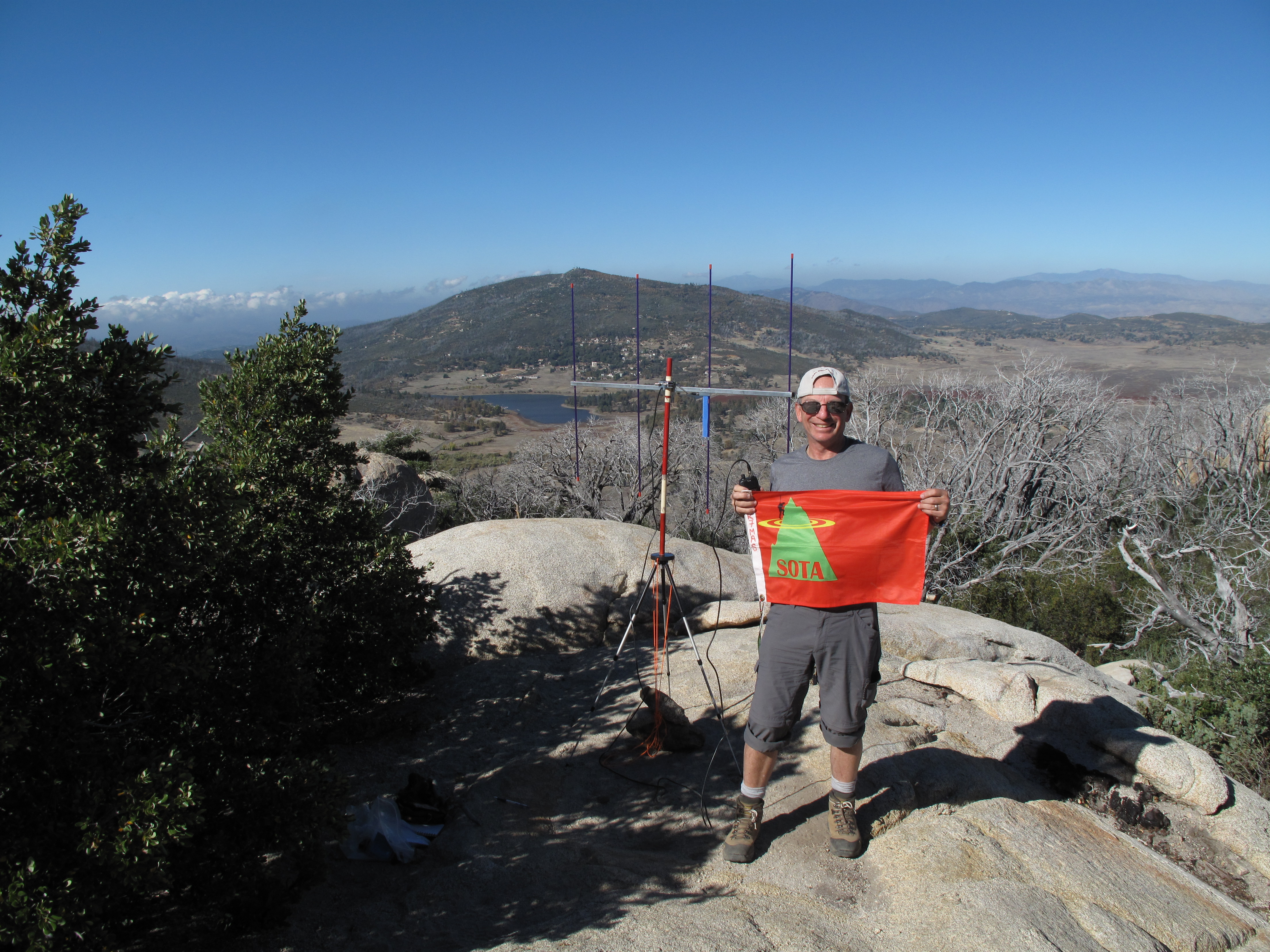
Once again, I used only 2M FM, this time deploying my 4 element Arrow Yagi Antenna, as this area is relatively remote. With the Yagi, I had no trouble making contacts, especially beaming north, towards the masses of the Greater LA area.
We loved this area, and will definately return to activate the other SOTA Summits in the vicinity!
As usual, thank you so much to all of my Chasers and Contacts. I worked: KK6OES; KG6DVE; K6EGG; KG6VJF; KK6LWW and AE6BH