Like a 50 mile long sapphire snake, sparkling Lake Chelan dominates north central Washington State as a geological and recreational wonder. The name Chelan is a Salish Indian word, "Tsi - Laan," meaning 'Deep Water'. Ringed on both east and west sides by giant mountains leaping skyward steeply, the Lake Chelan Gorge is one of the deepest in the US. With a water level of 1,100 feet, and Bonanza Peak topping out at 9,511 feet, there is vertical relief of 8,411 feet within 10 miles of Lake Chelan. Our crowning objective on this SOTA outing was an un-Activated Pyramid Mountain, 8,243 feet high and a mere 3.16 miles from Lake Chelan. This afforded the opportunity of gazing down 7,143 feet at the crystalline water reflecting the bright Eastern Washington summer sun. Along the route are strung 3 other SOTA summits, none of which had been previously Activated. The total trip was approximately 25 miles RT, with approximately 7,000 feet elevation gain, including ups and downs in between the various peaks. This is report 1 of 4, Crow Hill.
This trip was researched and conceived by me, K7MAS, in May 2015. In execution, the trip was planned and lead by my SOTA Buddy: Tim, KG7EJT, as a Mountaineers outing. The 2 of us were joined by 3 other non-Ham hikers, for a total of 5 participants, all Mountaineers (see: https://www.youtube.com/watch?v=cGFQ2CwB3MU ). The trip was originally planned for 4 days and 3 nights. However, we completed the 4 Activations and climbs, without delay, allowing us to return to the TH by 5:45 PM on the third day, and return home by 11:00 PM.
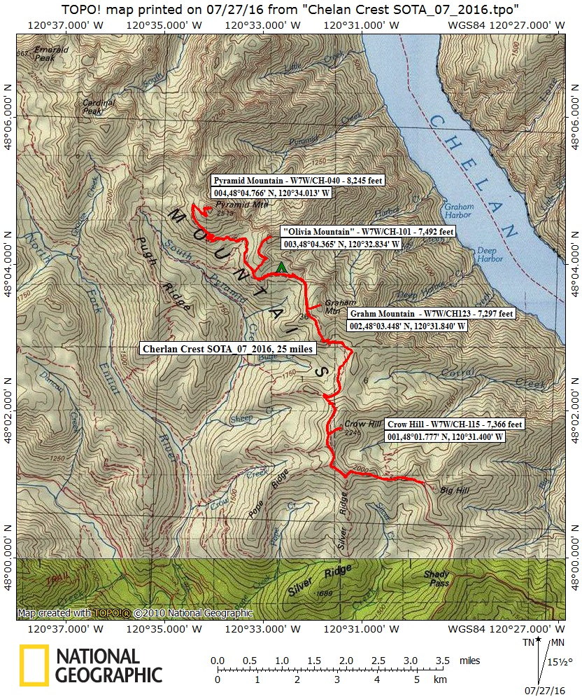
Access to the TH is from the Entiat River side of the Chelan Mountains, on the west side of the sub range. From US 2/97, just west of the City of Wenatchee, turn north onto US 97A, driving 15.5 miles towards the town of Entiat, at the mouth of the Entiat River. Turn left onto the Entiat River Road, and travel a windy 28.5 miles to Shady Pass Road. This is a US Forest Service road, number 5900. Turn a sharp right onto NF-5900 and travel this gravel road 8.3 miles to NF-112. Turn left onto NF-112 and travel a bumpy 1.8 miles to TH. Michelle T., one of our crew, made it to the TH in a Honda sedan, very skillfully driven! The rest of us were in a Jeep Wrangler and a Toyota FJ Cruiser, both of which ate this type of road up. Allow 4½ hours driving time to TH from greater Seattle area. Having NF-5900 and NF-112 open to the “high TH”, at 6,625 feet elevation, saved us from starting at a different TH location altogether. An earlier plan had us starting on the North Fork Entiat River, at 3,900 feet elevation. The higher TH got us into the sub-alpine zone almost immediately, and saved over 2,700 feet of climbing in the summer heat.
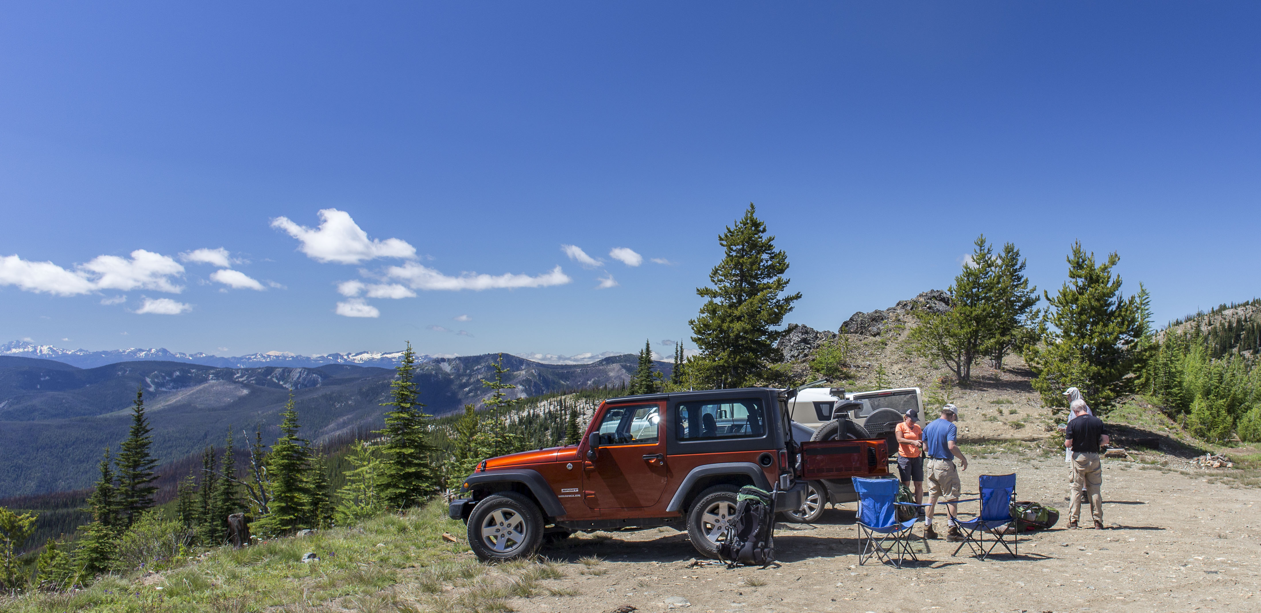
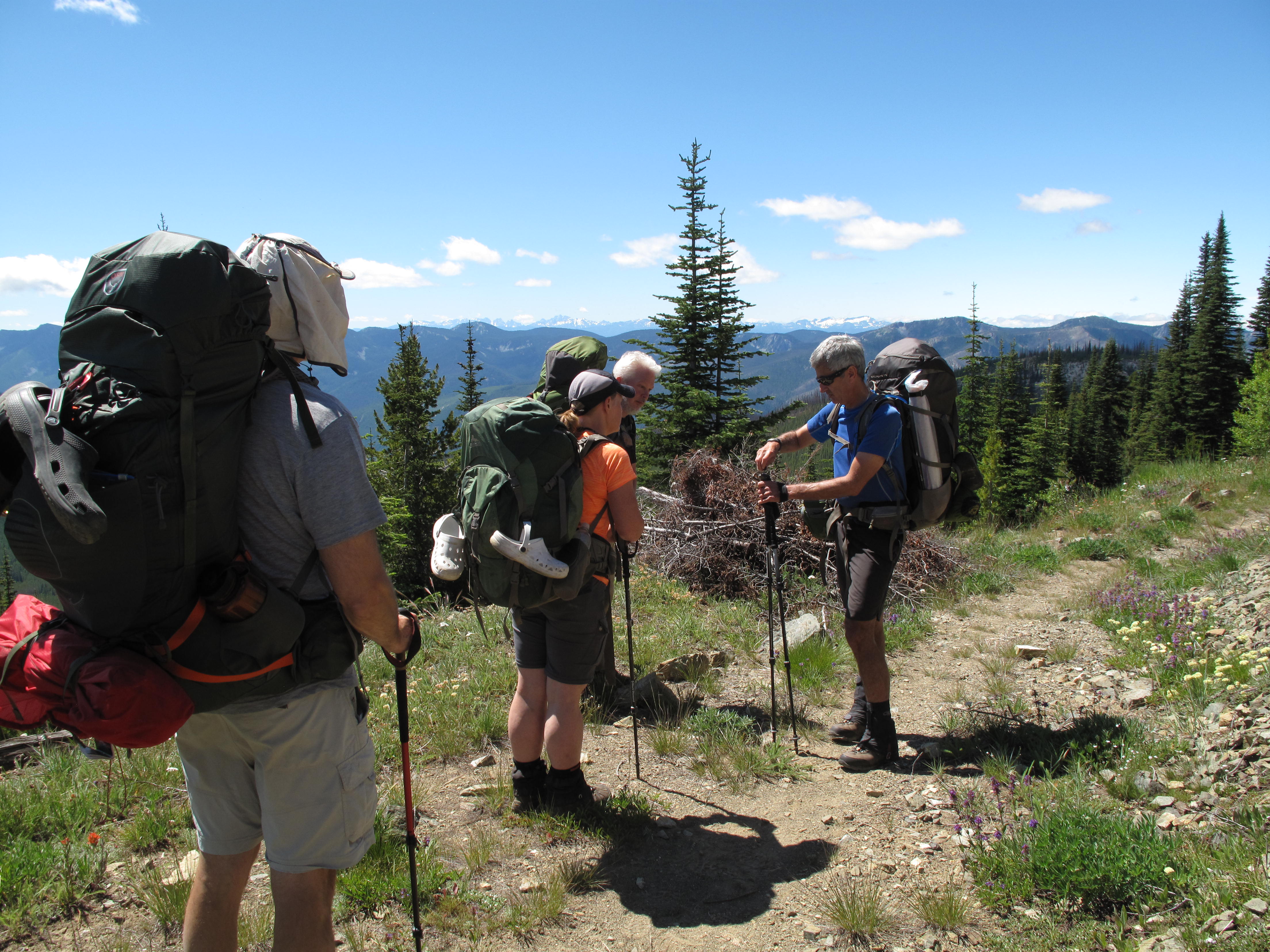
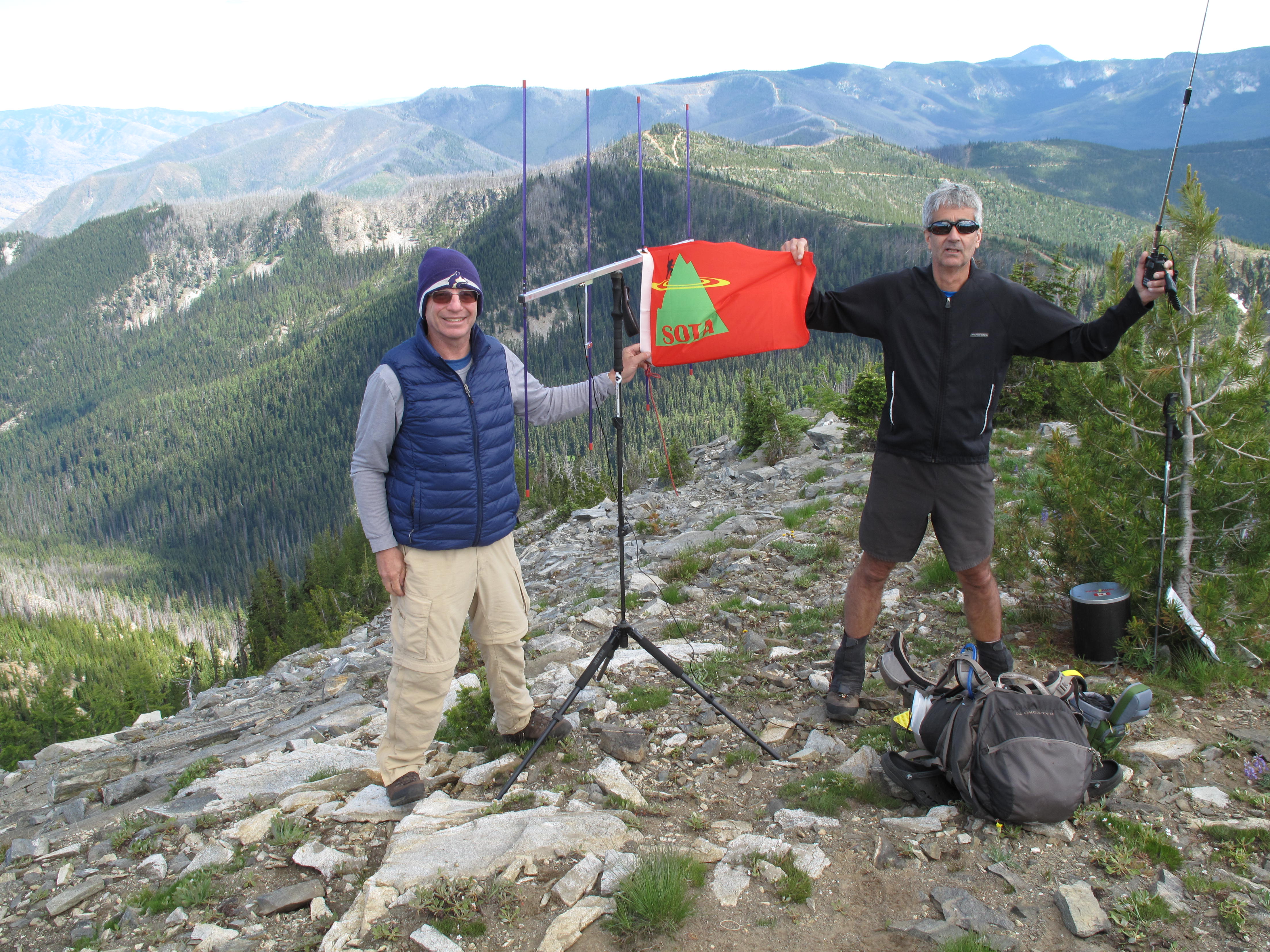
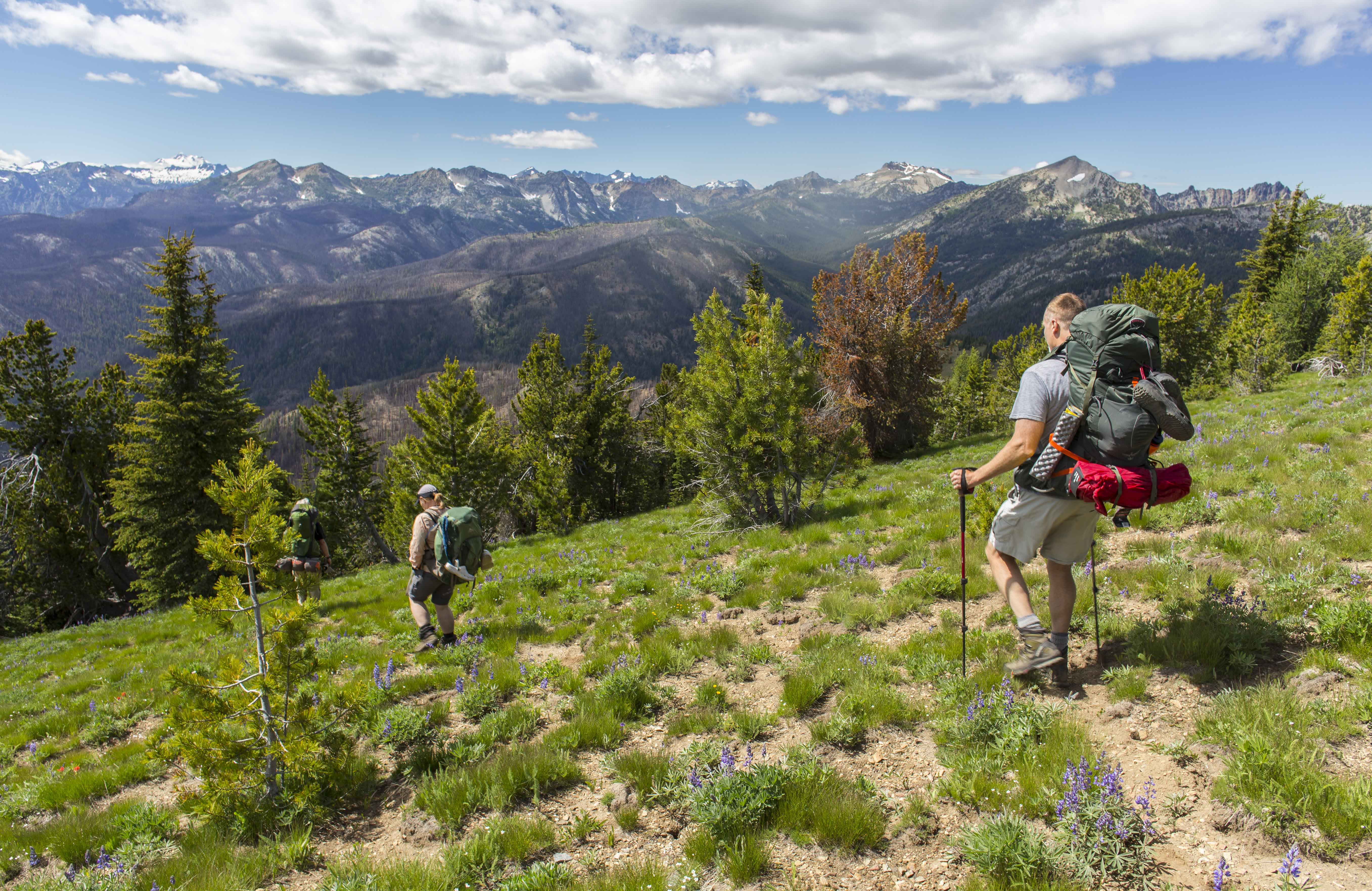
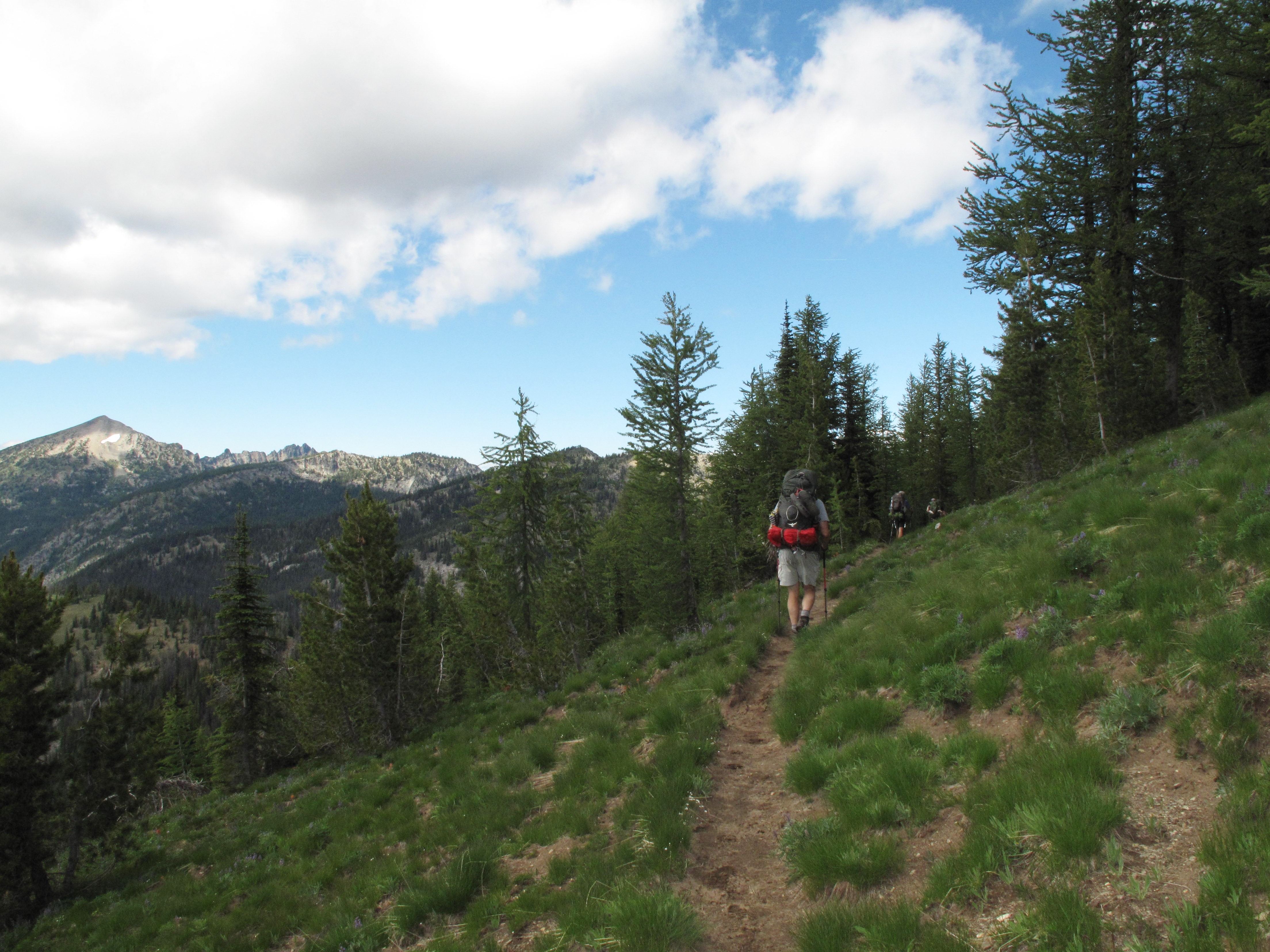
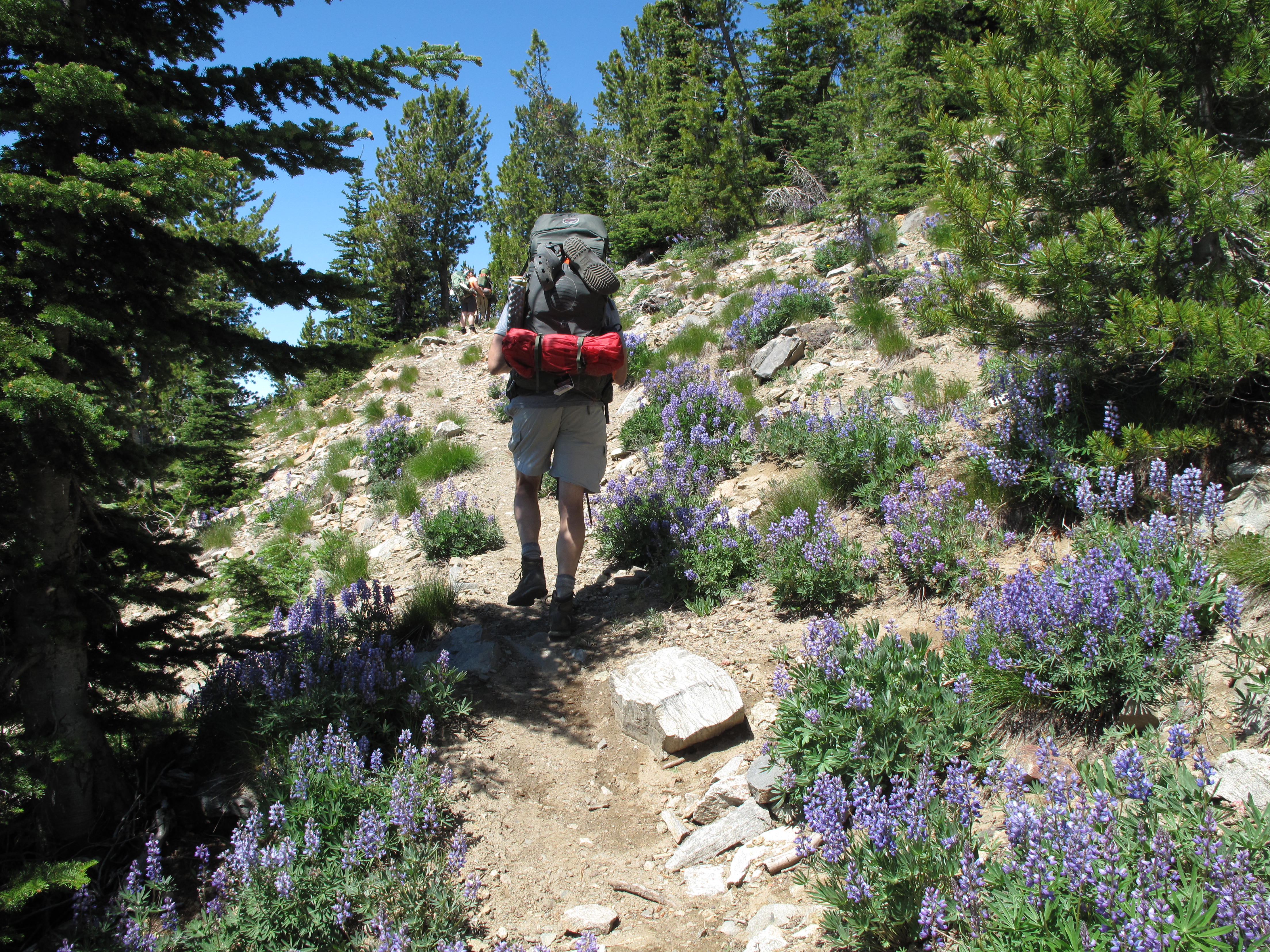
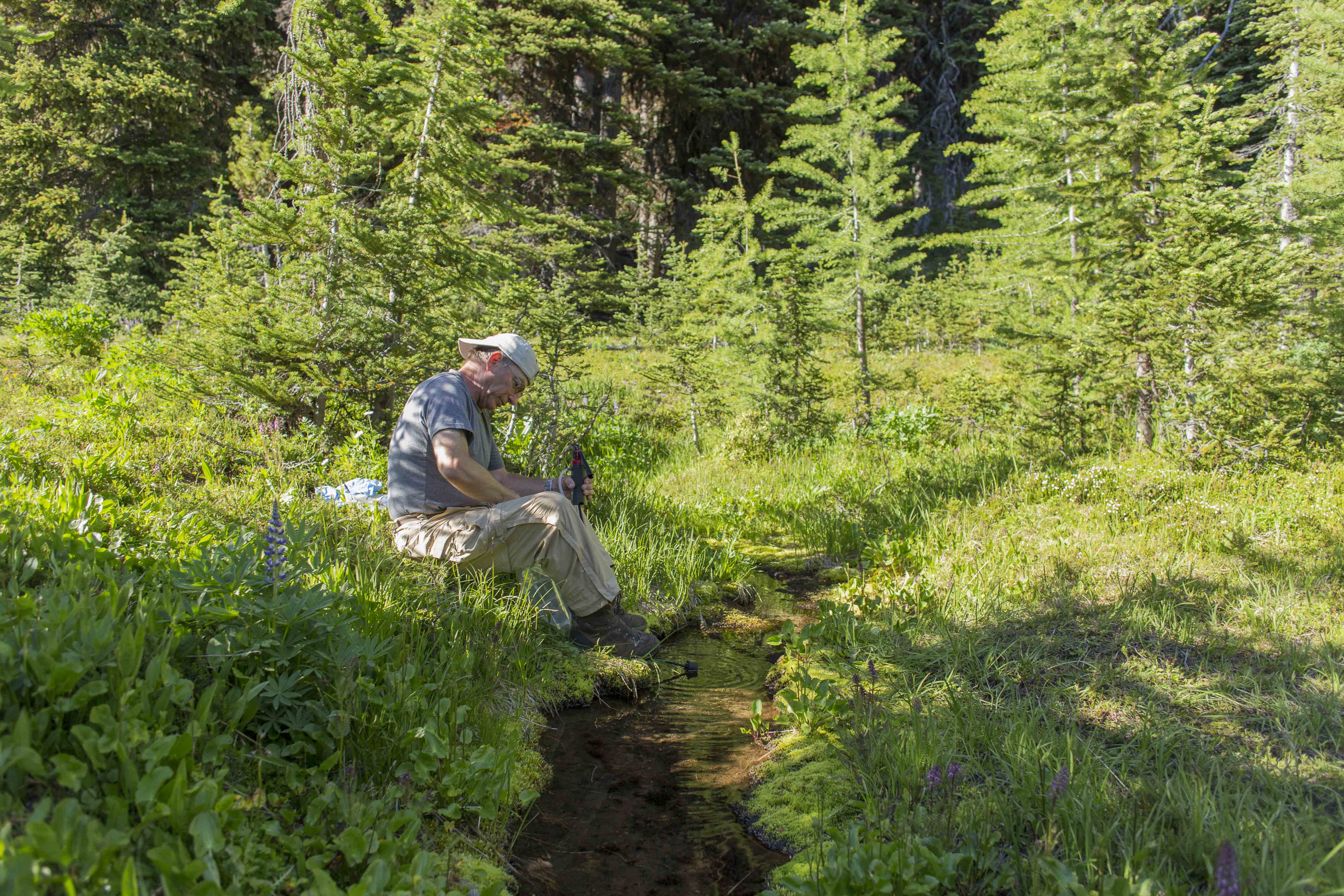
Day 1 activities included hefting our heavy packs to the summit of Crow Hill for our first Activation, then descending back to the trail and moving on to locate Camp 1. The summit of Crow Hill is a mere 500 or so feet above the trail, through flowered meadows going up the west face. TH to Crow Hill summit was about 1,000 feet gain. Both KG7EJT and I soon succeeded in the Activation, and the group decided to keep moving. We were unsure of the exact location of Camp 1, which importantly depended on the availability of water on this high ridge. Moving generally northward on Wenatchee National Forest Trail 1443, we stayed on the west side of the crest of the Chelan Mountains. Walking through miles of jaw dropping vistas and acres of wild flowers in bloom, we could not imagine a better place to be. Our first option for a camp, recommended by the Chelan Ranger Station, was a Col just north of Graham Mountain at about 6,650 feet. When we arrived, we found the area dry as a bone. Two of us dropped west into the headwaters basin of Corral Creek to look for a water source. We soon found one about 150 feet below the trail in a spring trickling out of the hill. Meanwhile, two others of the group continued on Trail 1443 turning westward, and in about ½ mile found an established campsite with a good water source. There we established what would be the only camp location, where we spent 2 nights. Having spent 4½ hours in transit to the TH and hiked 6½ miles, with an aggregate elevation gain of 2,260 feet, and completing an Activation - we were very happy with the results of our first day out. Over a hearty dinner, we planned out our next couple days.