Winter Adventures in Joshua Tree National Park, California. On a recent trip to California to visit family, we took some time to visit Joshua Tree National Park, and Activate a couple SOTA peaks. We made the town of Twenty Nine Palms our base, "roughing it" in the relatively new Holiday Inn Express facility, and making day excursions on February 1 & 2. This is report 2 of 2, detailing Activation of an unnamed peak, Point 5540.
Coming right in the middle of a strong El Niño event spanning January 30 to February 1, our nighttime drive on 01/31/16 from West LA to Twenty Nine Palms was punctuated by torrential downpours, wind gusts to 60 MPH and bouts of wet snow on the highlands above the Coachella Valley & Palm Springs.
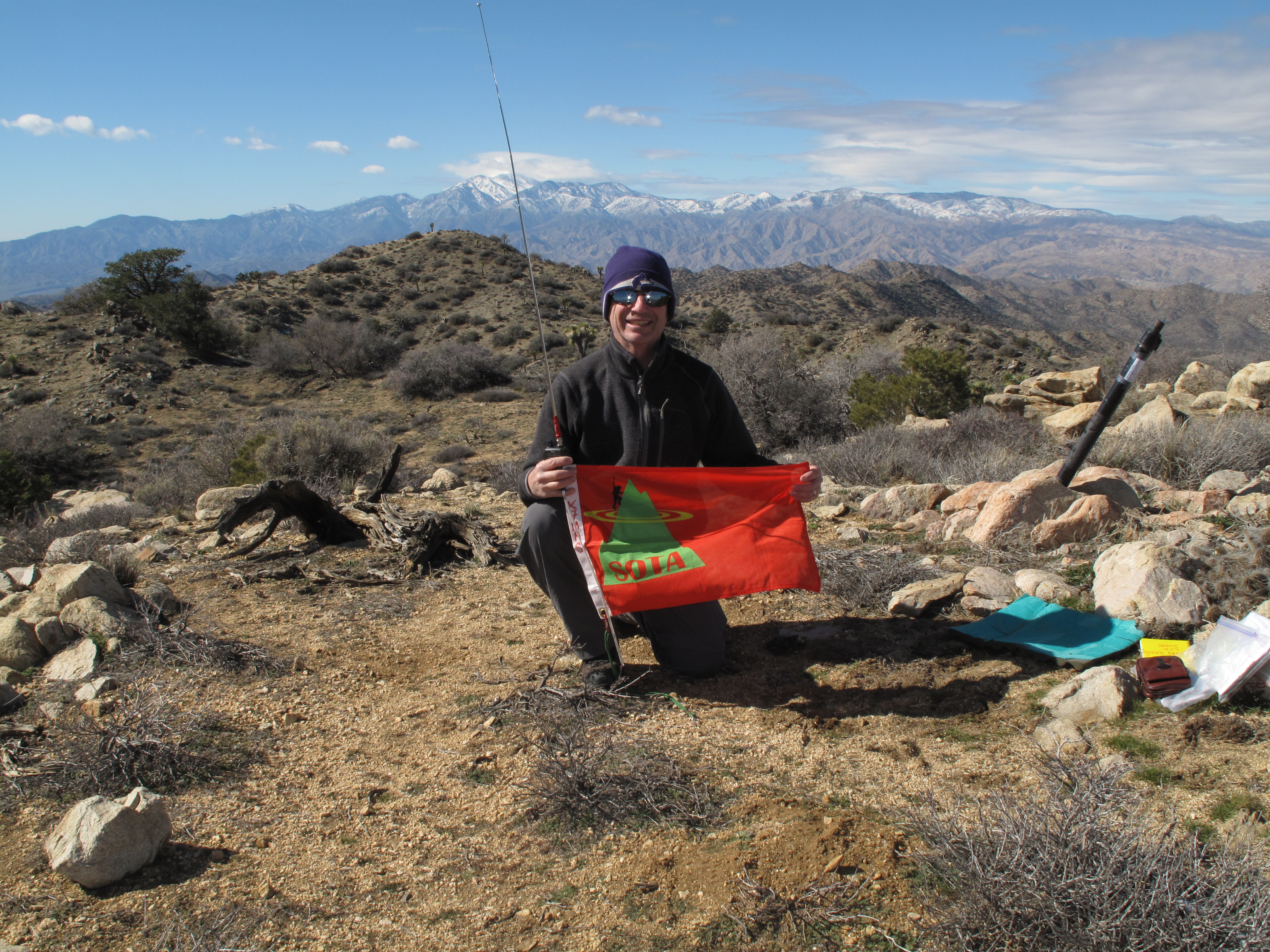
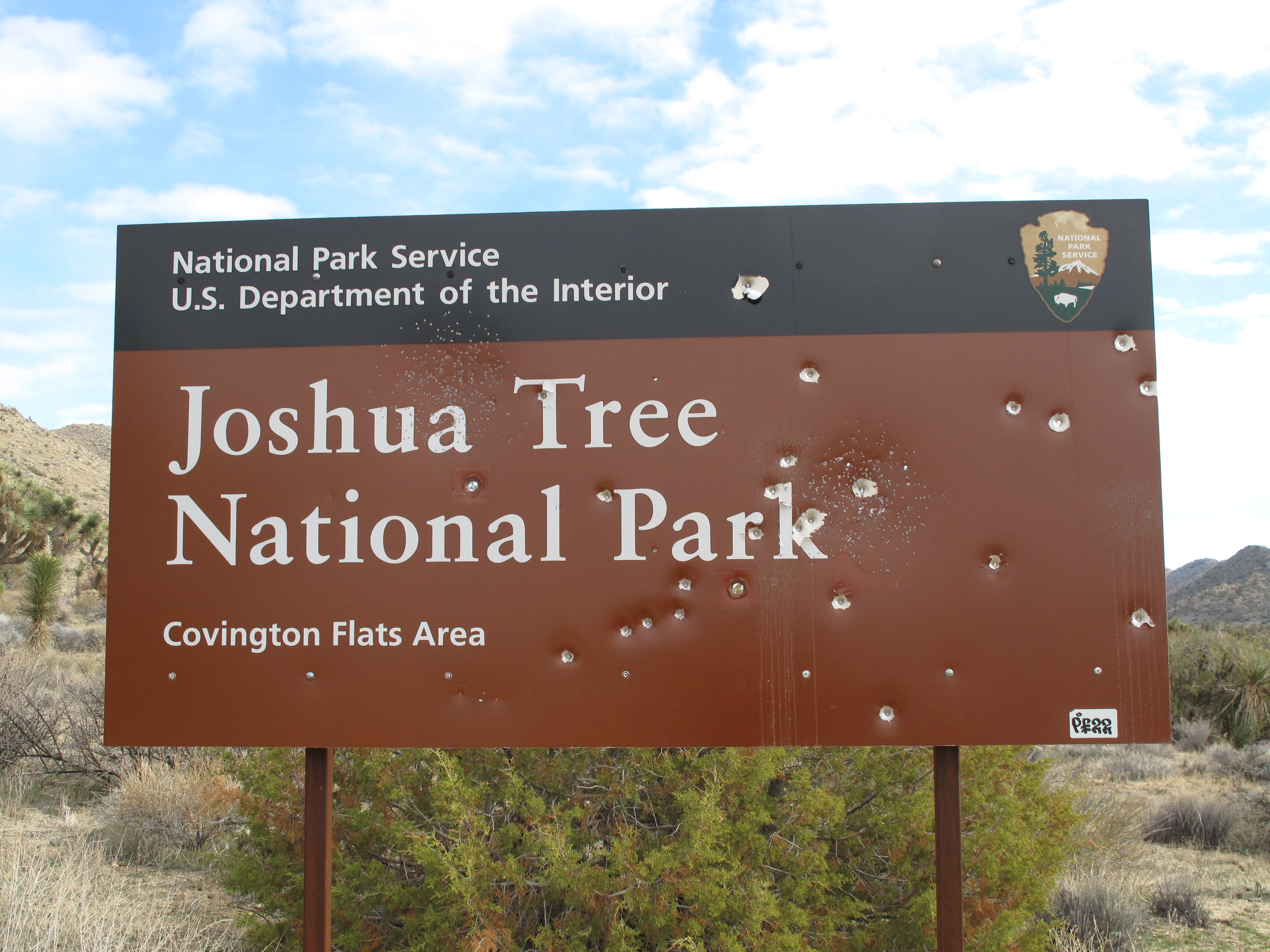
Our objective for Feb. 2, 2016, was Point 5540, a 6 point SOTA summit, in the NW corner of JTNP. This part of the park is much less visited than the central and southerly portions of the park. Sections of the park served by the excellent paved roads received the bulk of the 2,000,000 visitors that came to the park in 2015. See: http://www.nps.gov/jotr/index.htm
On Feb. 2, 2016, we awoke to a beautifully sunny morning, with the winds substantially diminished from the previous 2 days. The forecast called for temperatures between 42 and 47 degrees during the day, and predicted wind gusts to no more than 10 MPH.
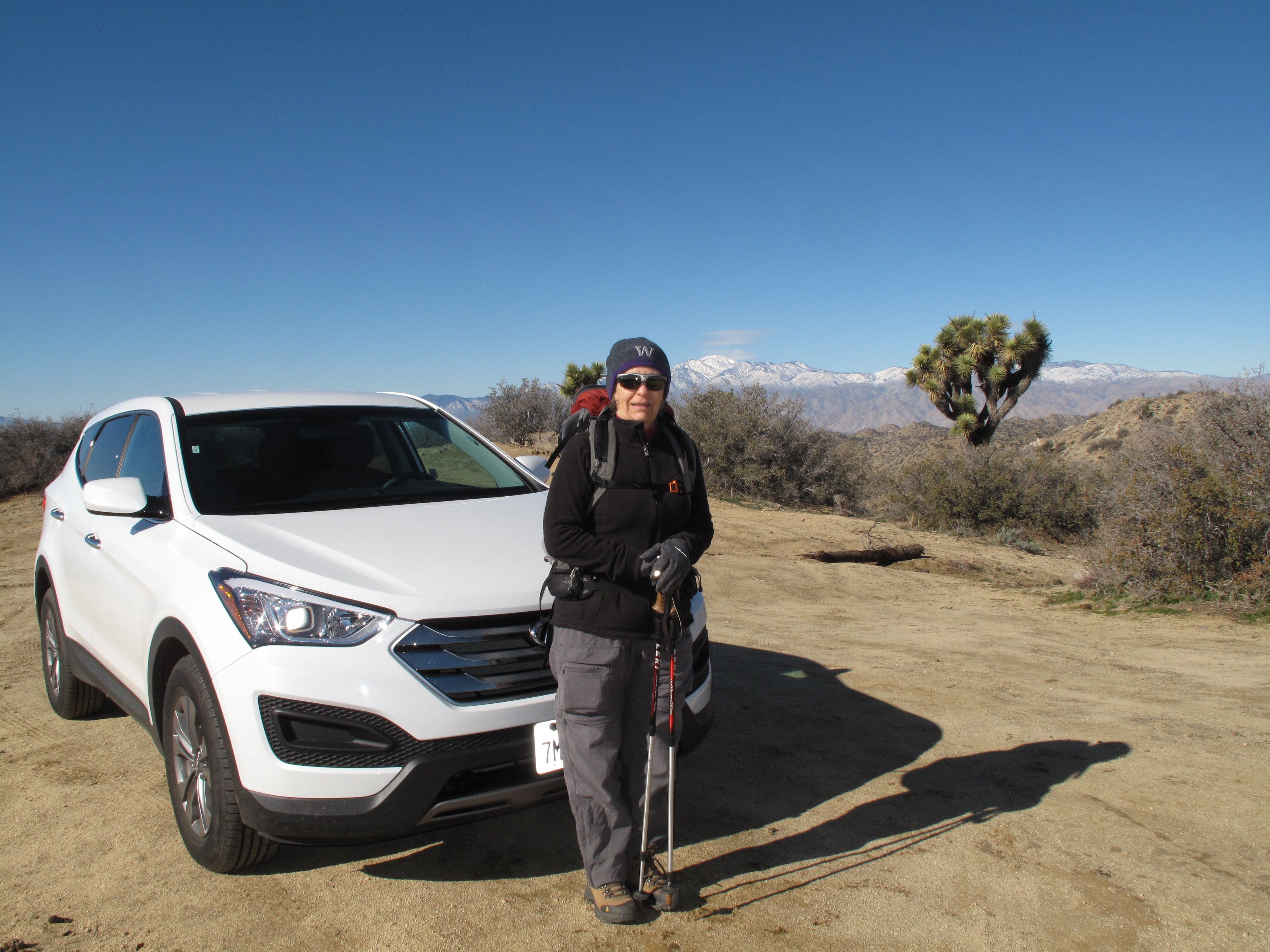
Access to Point 5540 and the nearest named peak, Eureka Peak (non-SOTA) is via a dirt road accessed from California Highway 62 in Yucca Valley. Two relatively recent reports by SOTA Activators had provided detailed and current road directions and conditions. We were warned by the Park Rangers that we needed a 4X4 vehicle for access, which turned out to be not correct. Our rental car, an AWD Hyundai Tucson made it with ease. We were a little worried about possible road washout due to the heavy precipitation of the previous few days, however, again, our "curiosity" was unfounded. For access information see: http://www.sota.org.uk/Article/W6/SD-039/14846 and also see: http://mwgblog.com/archives/2016/01/27/sota-w6sd-039-pt-5540/
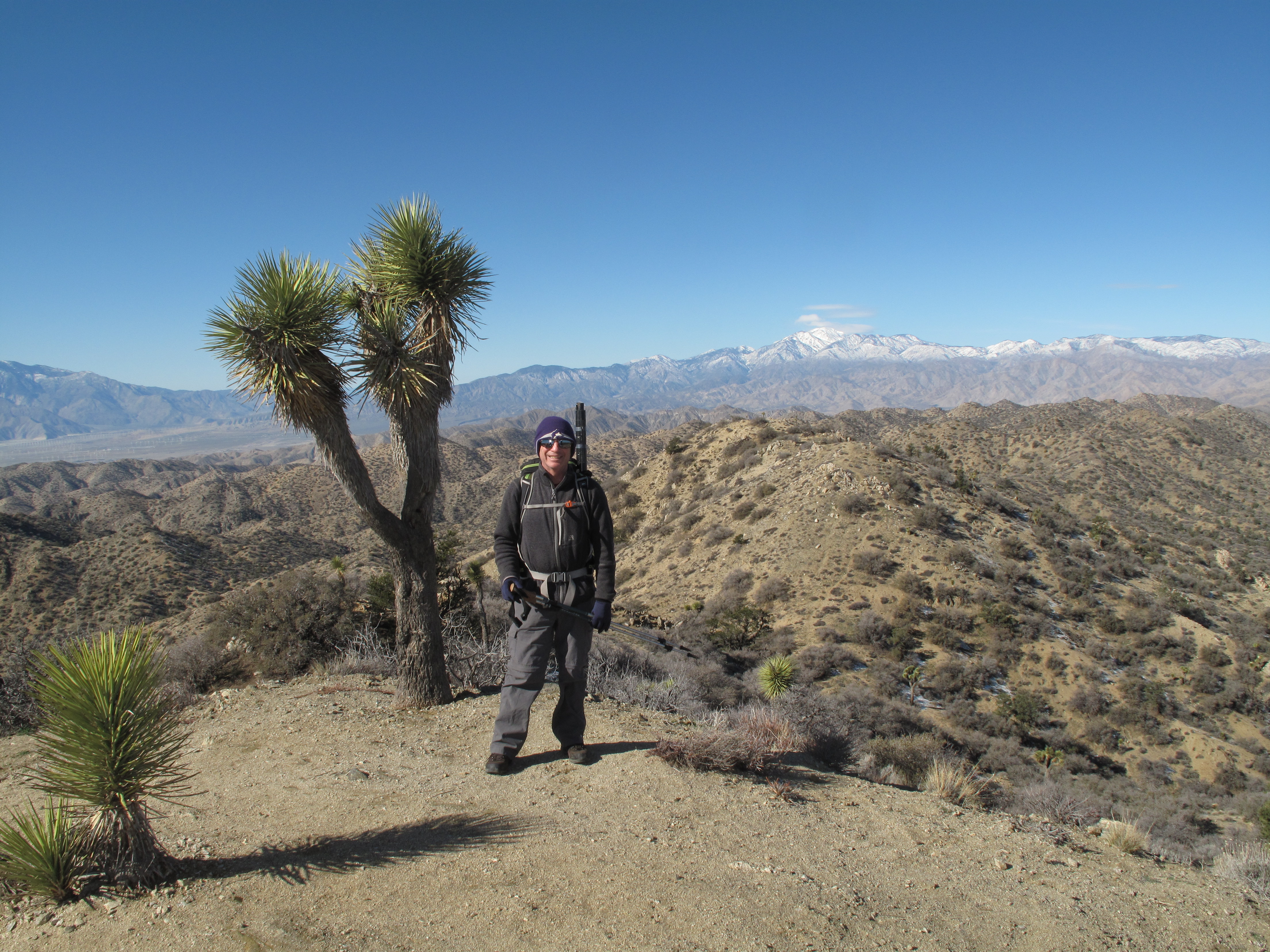
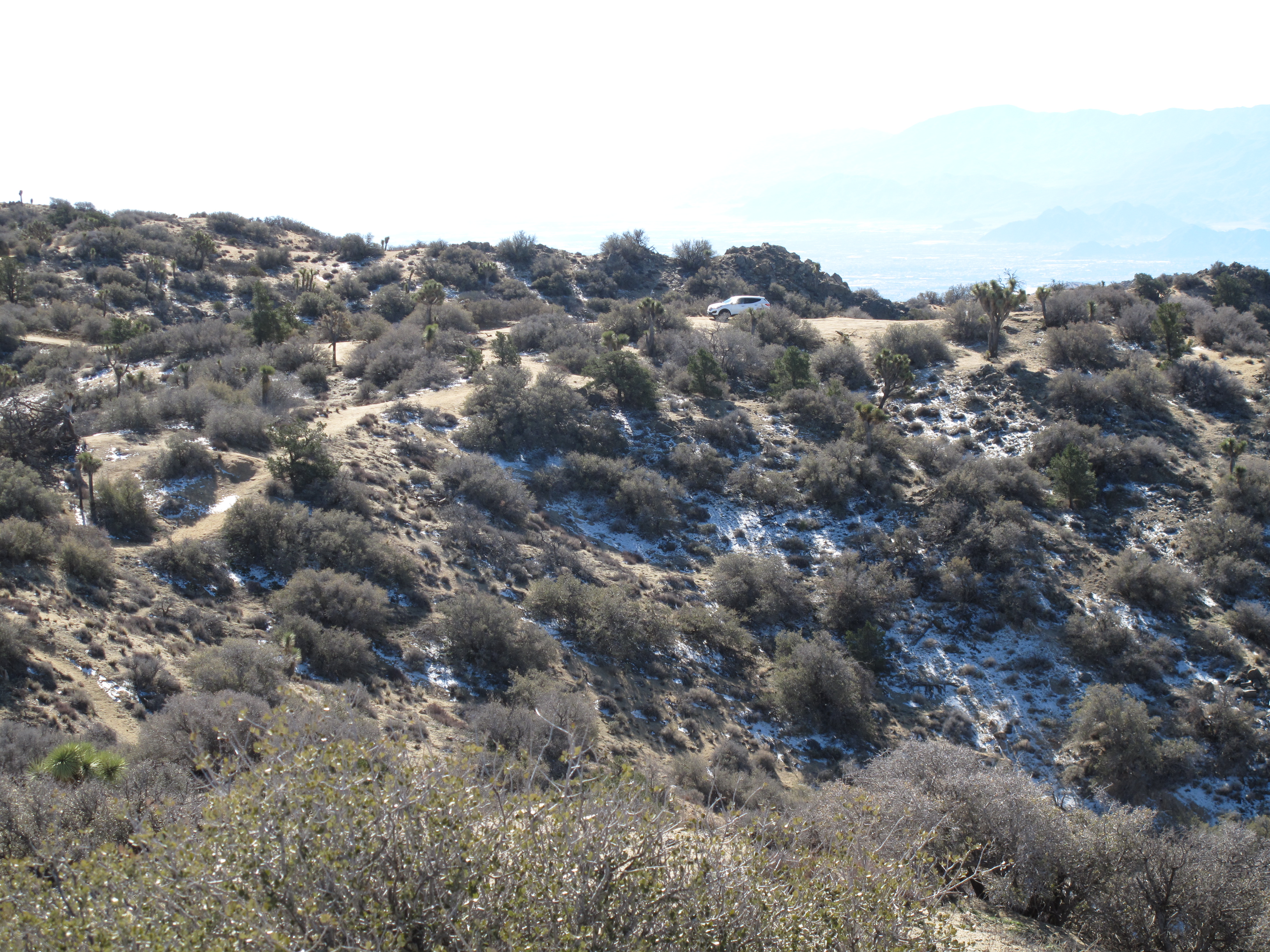
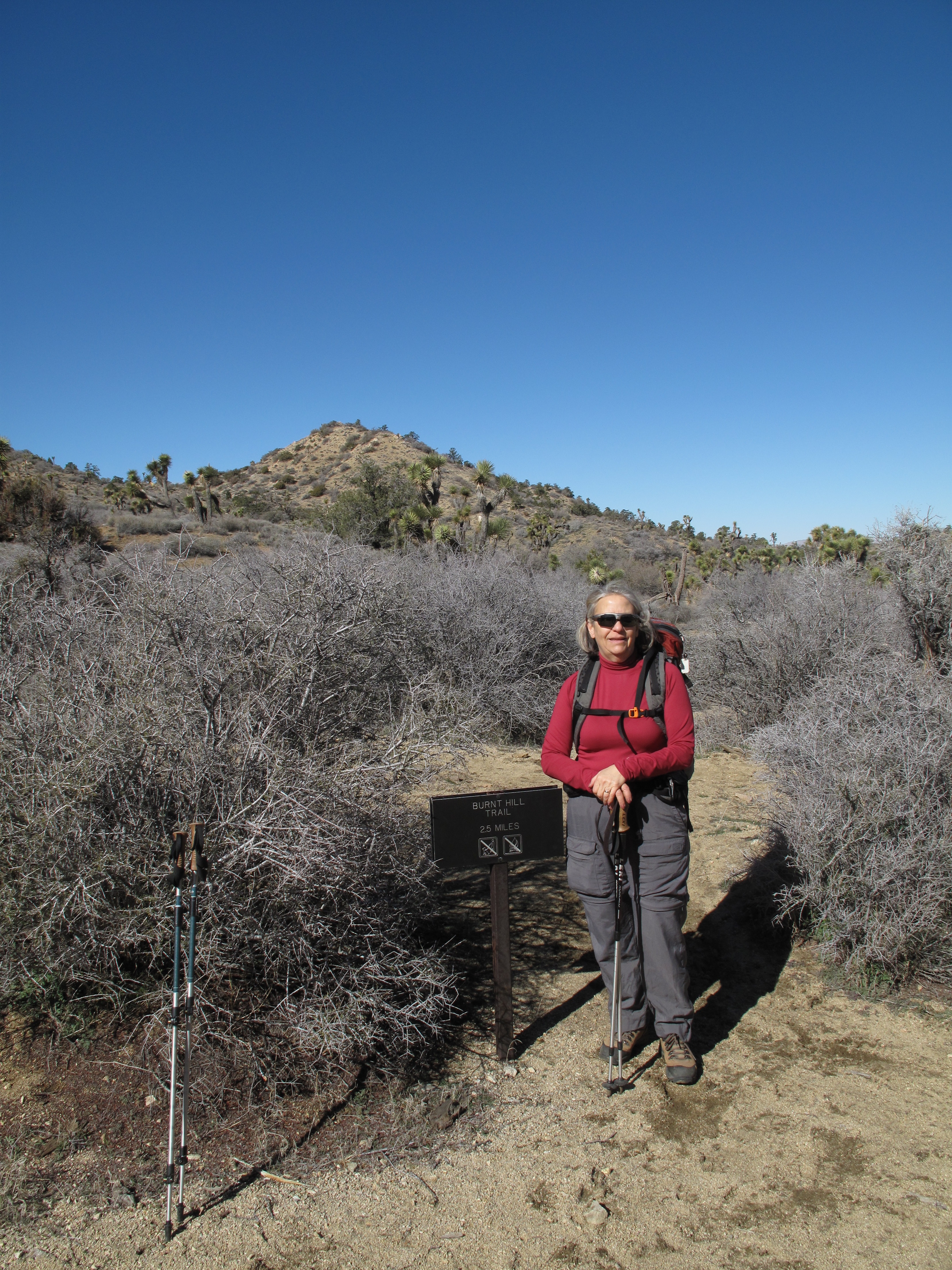
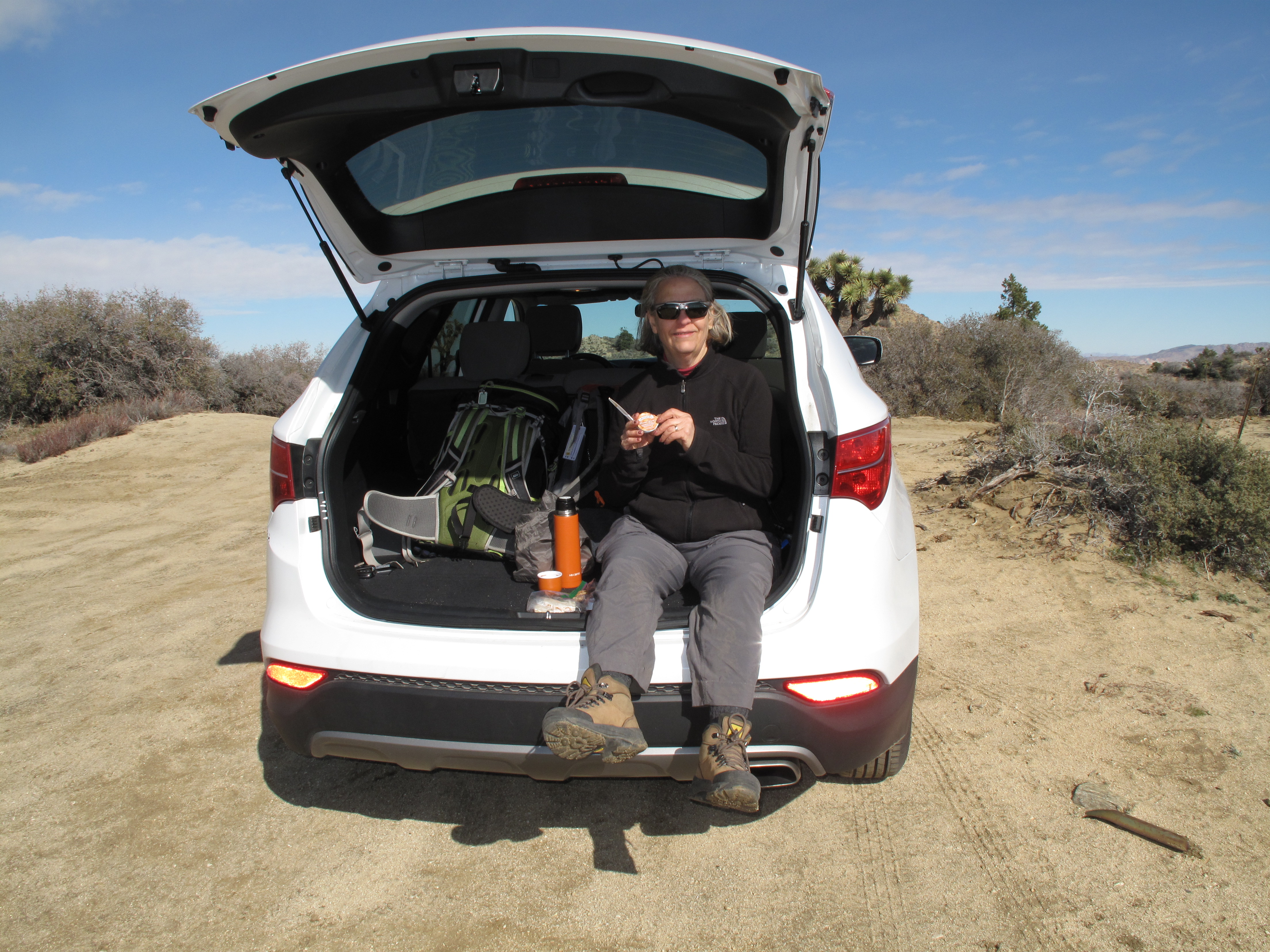
This activation is almost a drive up. The dirt road reaches within 1/3 mile and approximately 150 vertical feet, including some minor up and down sections, of the summit. Since we had reached the TH by 10:00 AM after a car journey of about 50 minutes from California 62, we decided to hike a few miles on some the the network of excellent trails which radiate north from the TH area. We hiked up and over Eureka Peak and then further portions of Eureak Peak Trail & Burnt Hill Trail for an out and back excursion of several miles, before returning to Eureak Peak area, for the Activation of Peak 5540. CX travel in this area is very easy due to the scarcity of vegetation and underbrush. It took us about 1/2 hour to reach the summit of Point 5540. I set up for 2M FM, and made 8 contacts in about 35 minutes of operation. As we had a couple other hiking / touring objectives in JTNP for the day, I did not set up for 20M / 40M HF operations. I now regret that decision, as it would have been fun to generate some National Parks On The Air activity besides the SOTA contacts. See: https://npota.arrl.org/
Thank you so much to the Chasers and others I worked, all on 2M FM. I worked: K7DJV; KK6JHI; AB0WM; AI6AF; KI6FKP; KI6WTI; N6GIW; KK6ZAN.