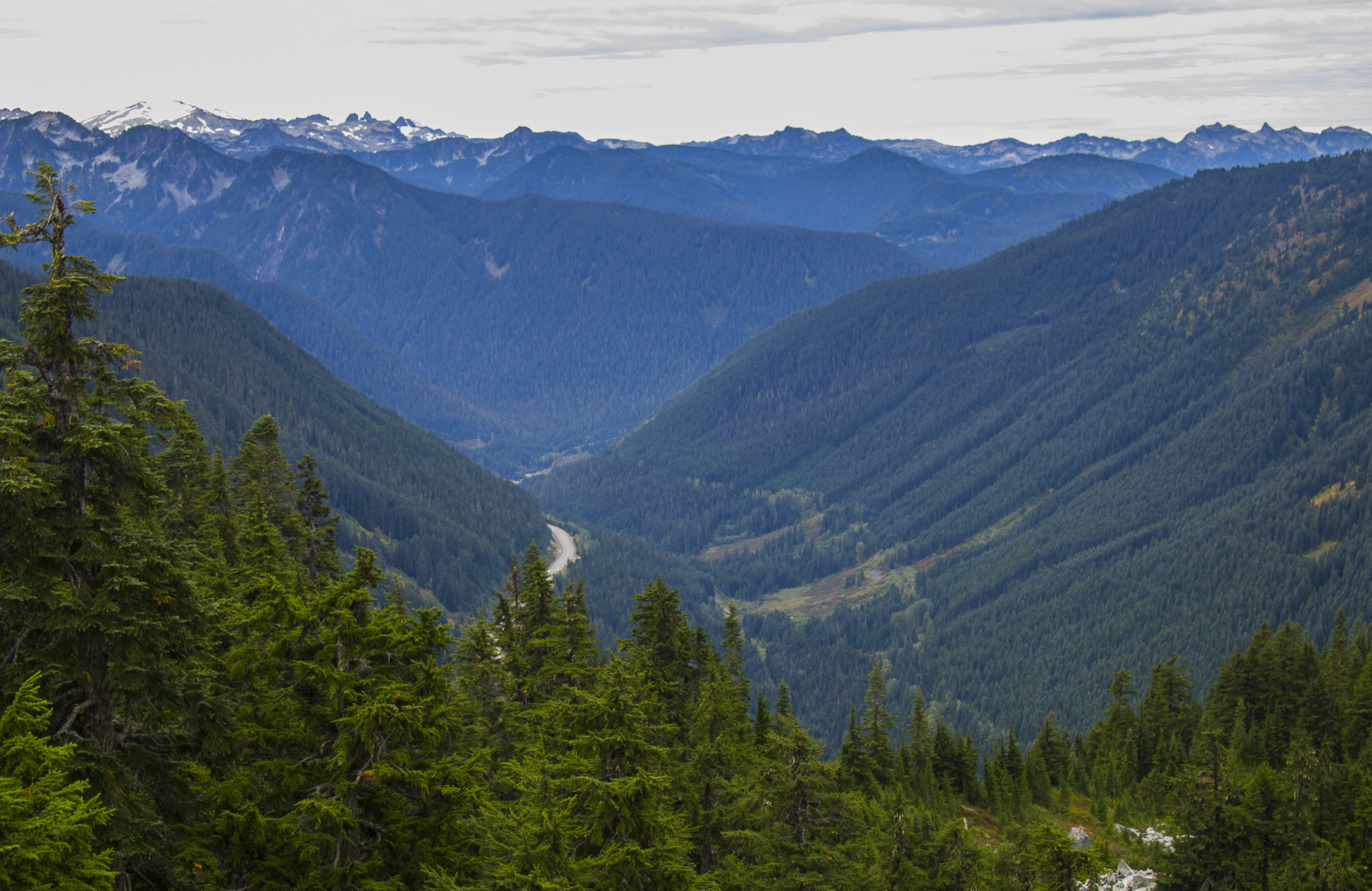
Sky Mountain is a high point on the ridge directly across US Highway 2 from Stevens Pass Ski Resort. The summit is at Point 5,482 feet, and is not actually named on the USGS topo maps. Sky Mountain hike/scramble is only about 5 miles RT, and 1,700 feet elevation gain. Despite the relatively short distance and modest elevation gain, this scramble is not trivial. Tim, KG7EJT, tried it in winter, but turned back due to weather and avalanche hazard. So now we returned for a joint Activation in the last week of summer 2016 for what turned out to be the "The Great Tarzan Traverse" route variant.
Access and parking are very easy, about 66 miles from KG7EJT's house where we departed, to Stevens Pass. It took about 1 & 1/2 hours to reach the ample parking area at the Pass. We have had our eye on this peak for some time, having done first SOTA Activations of 2 other peaks at Stevens Pass Ski Resort last year (Cowboy Mountain and Big Chief Mountain). There is great and detailed information on Sky Mountain at: http://www.summitpost.org/sky-mountain/665246.
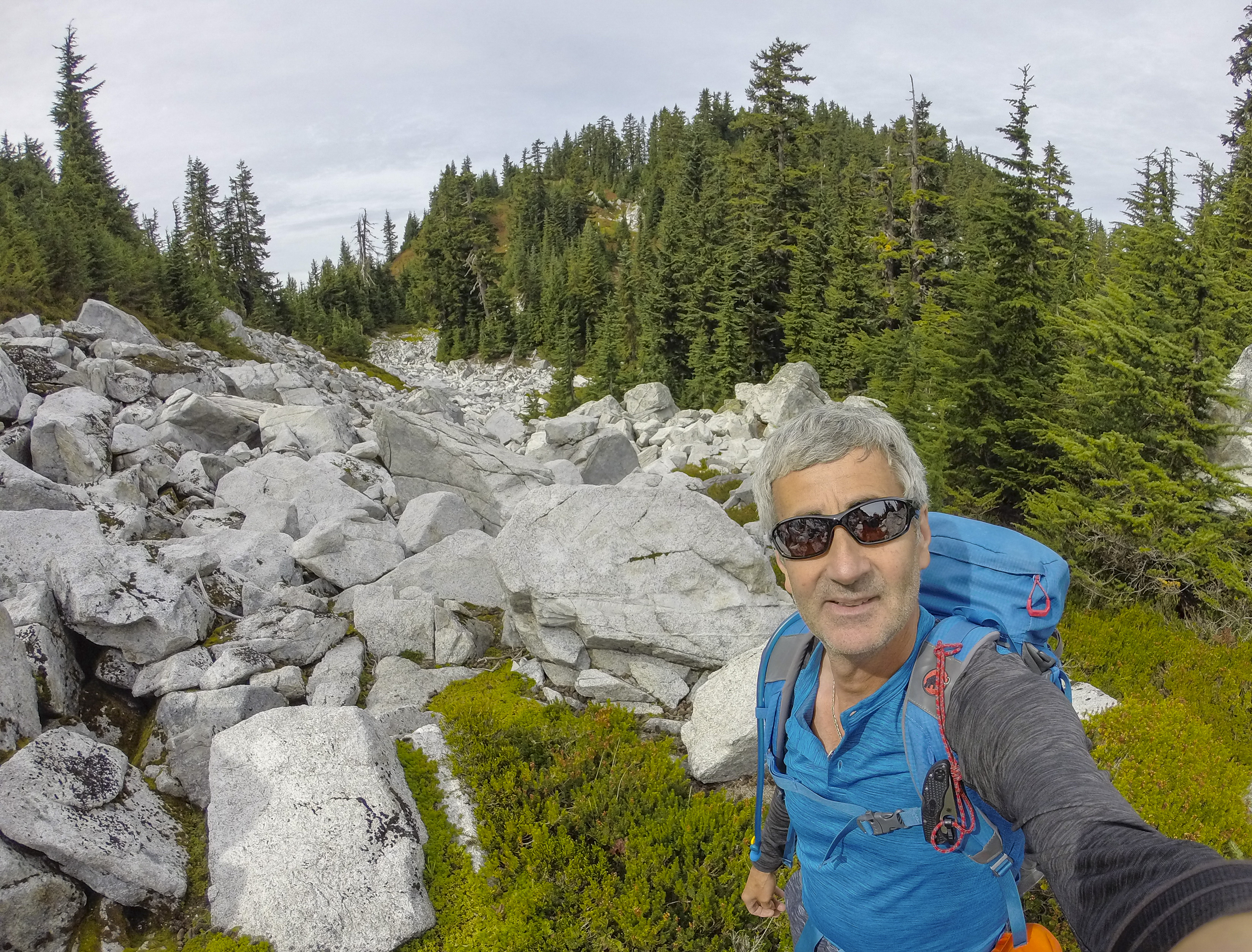
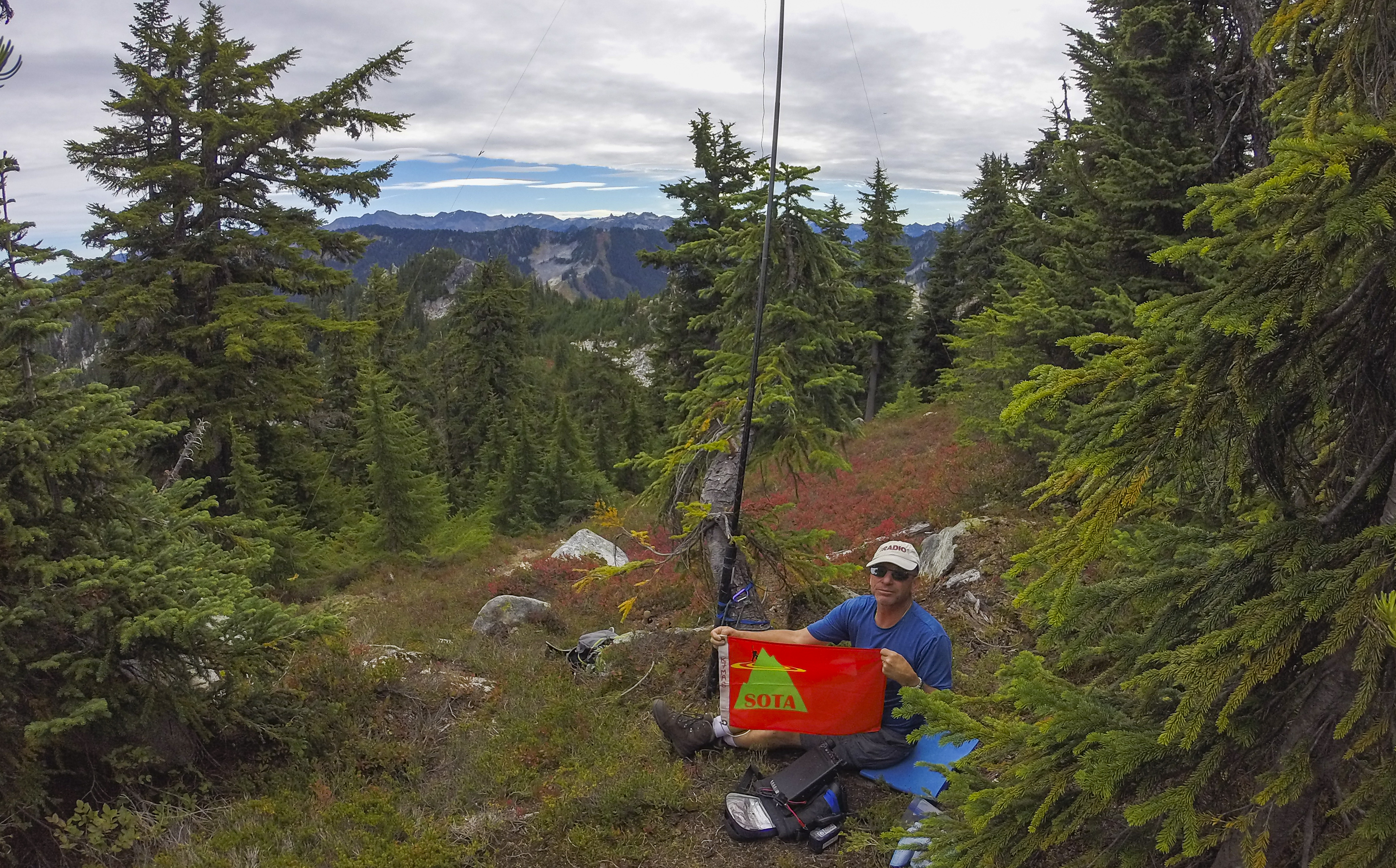
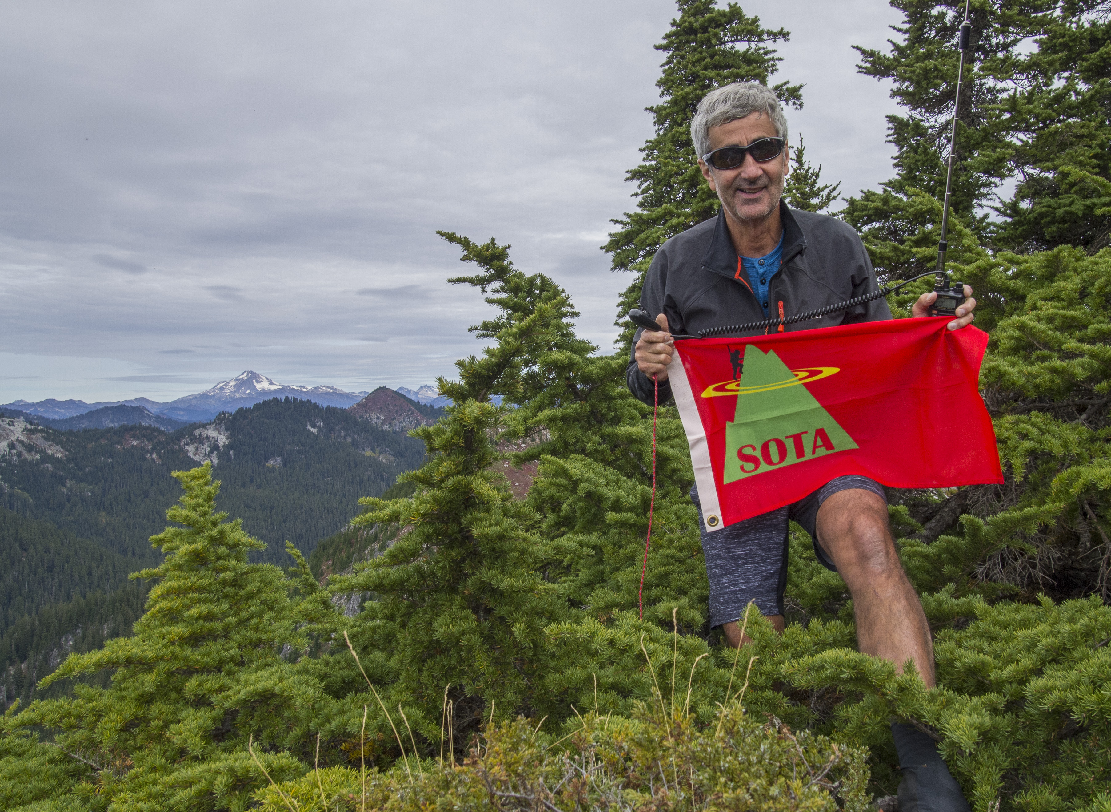
Despite the somewhat rugged terrain, and the heavily laden blueberry and huckleberry bushes that abundantly beckoned, we made good time, reaching the summit in 1:45 hours. The summit is a group of large boulders, with a 200 foot sheer drop to the West. Tim set up for 2M FM just below the summit on a bench, and I set up for HF about 25 feet away to the East on a heather bench, which offered shelter from the breeze. Soon I determined that the BNC connector terminating my linked dipole was not working. Some quick surgery with my knife (10 Essentials!) allowed me to limp into HF. Again, this was a cooperative effort, with Tim handing me off to some of the 2M FM contacts he was making, while I worked to fix my feed line.
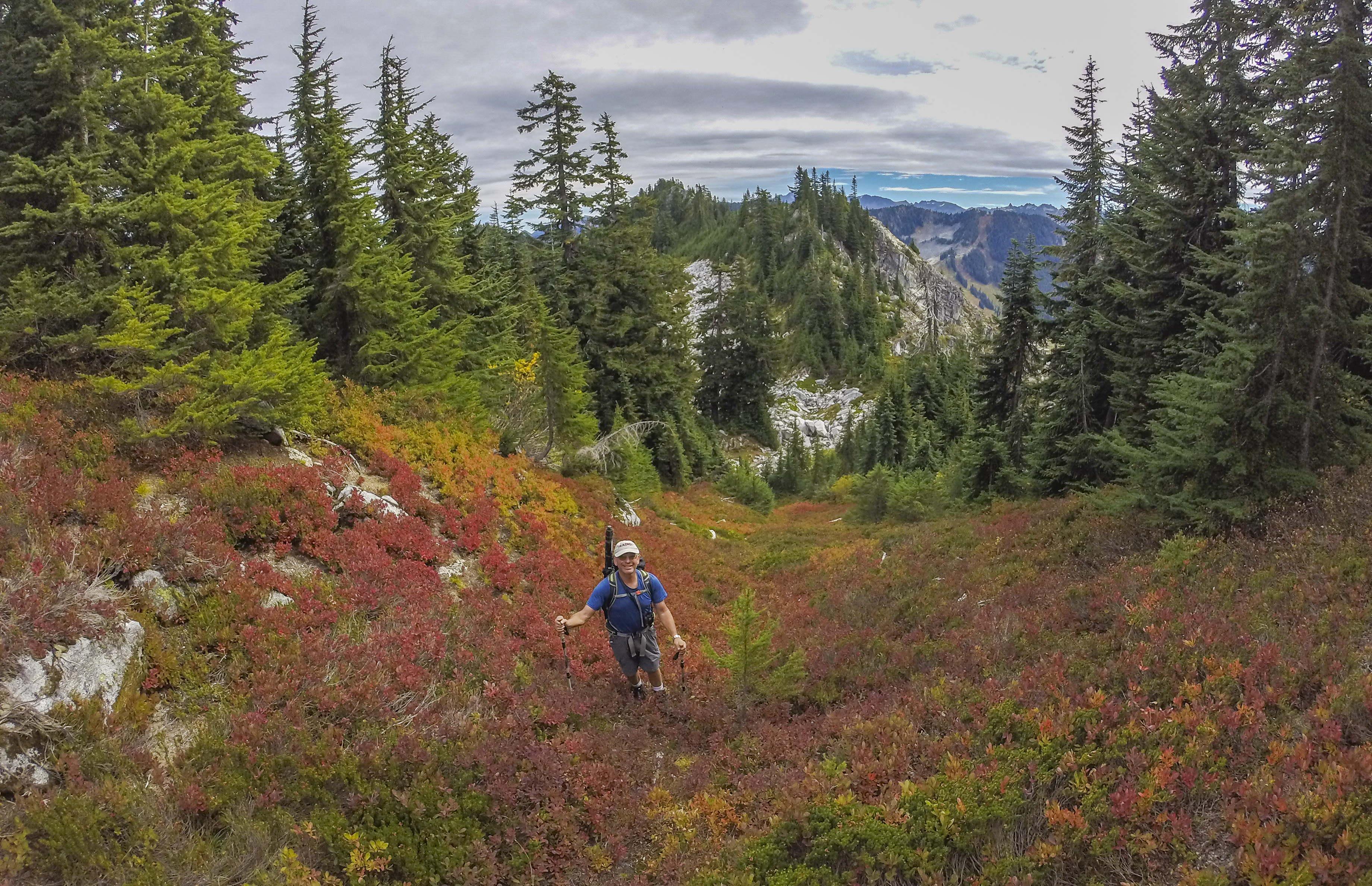
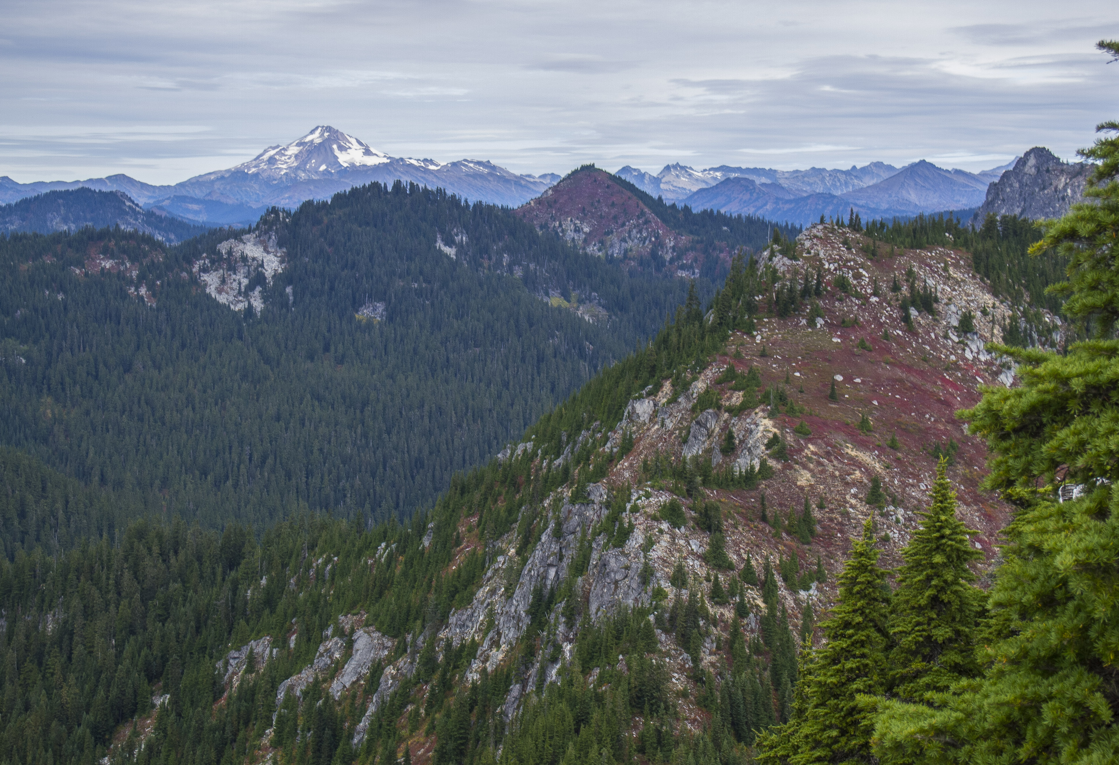
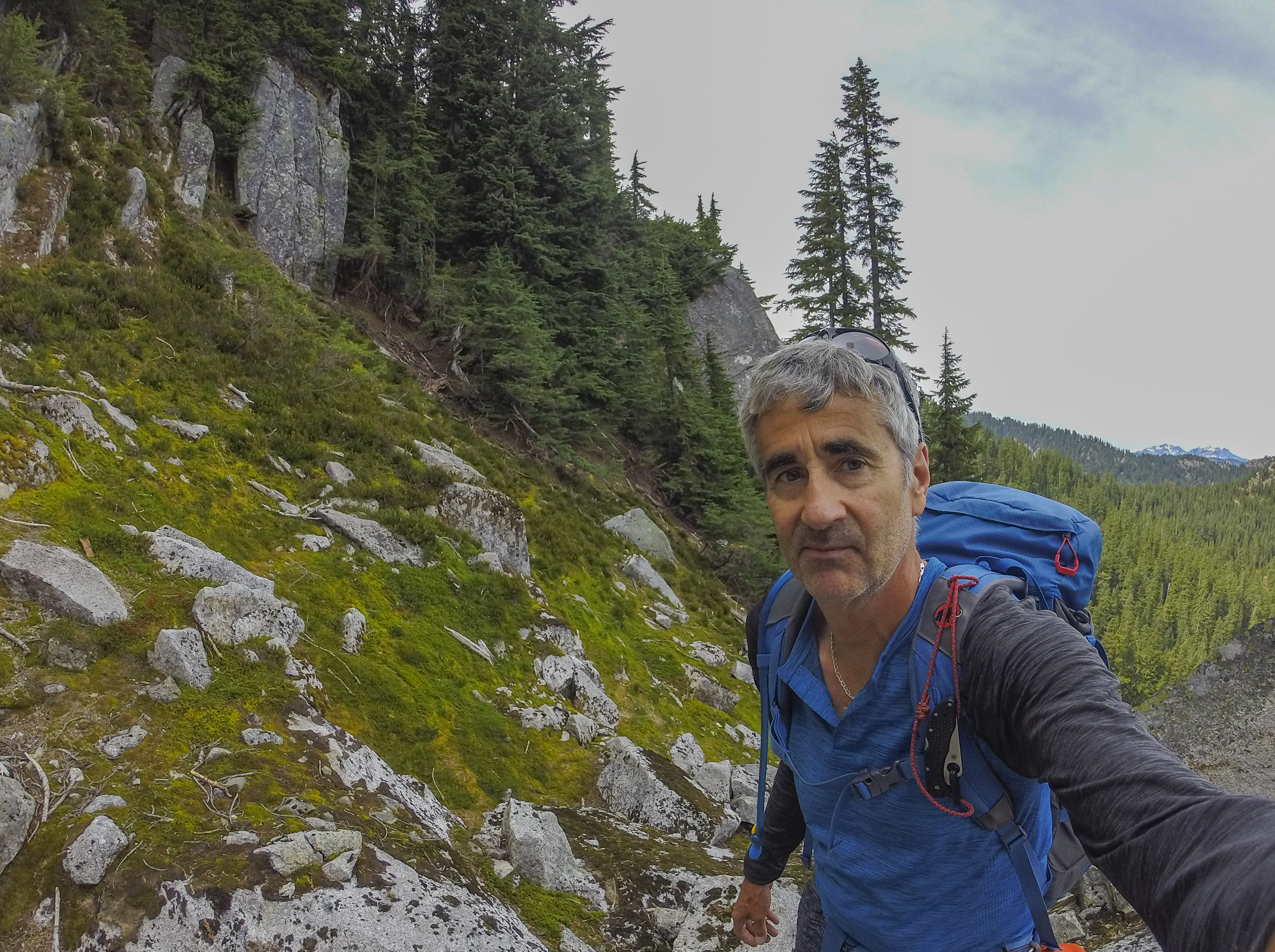
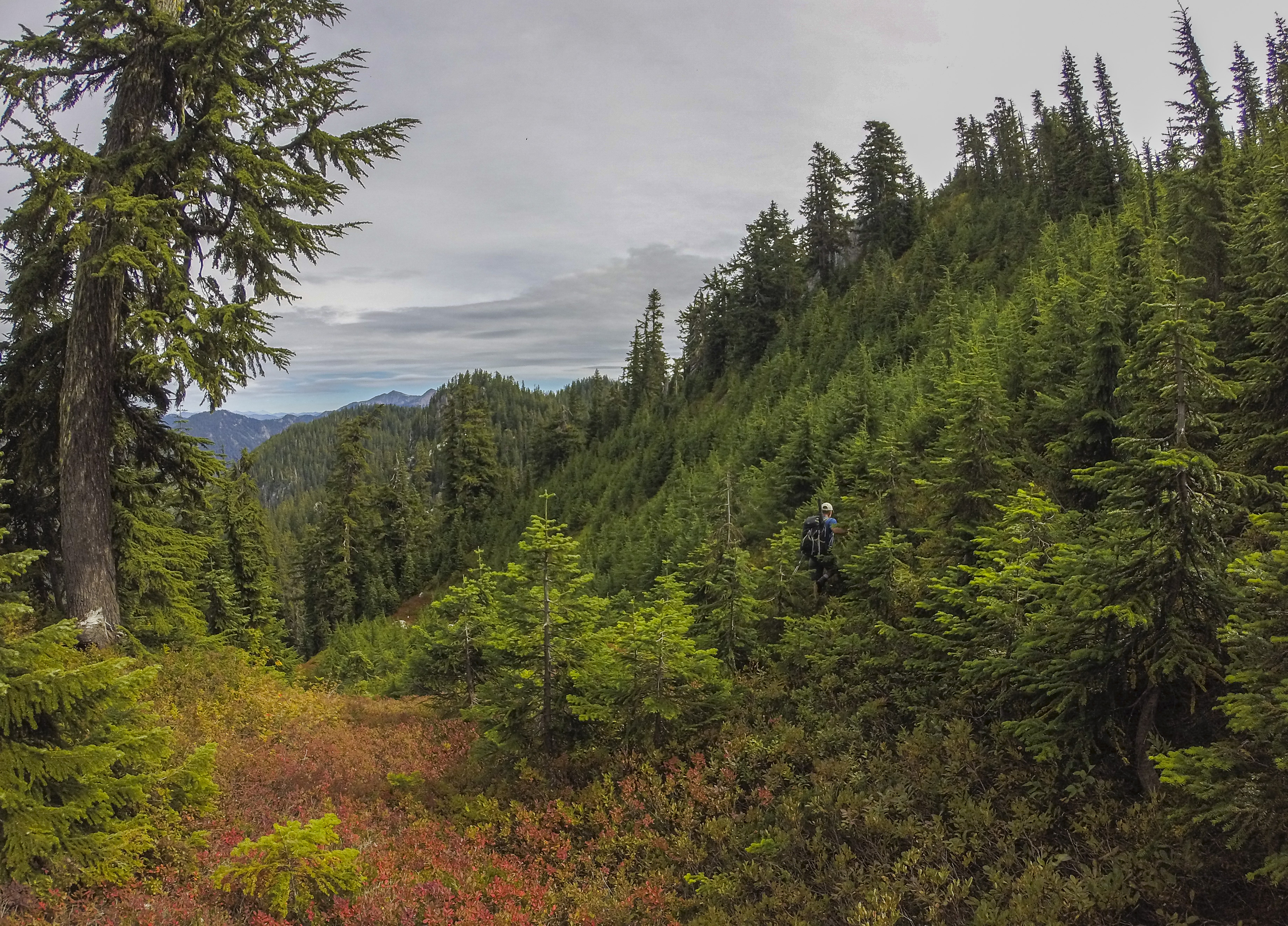
It was time to pack up and get ready for the return trip, as we both had dinner engagements that evening. Upon descending from the summit block, we surveyed the route back. As unpleasant as some of the upper parts of the climb up had been, we decided, in a moment of insanity, to try a different route on the return...And hence the "Great Tarzan Traverse". Instead of traversing the steep slopes South and below "Skyline Ridge" (see map), a false summit, and through the "bouldery rock garden" described in Summitpost, we decided to traverse Skyline Ridge on the North, through steep, brushy and unknown terrain. Soon we were using the young stunted evergreens, and any other means of "vegetable belays" to steady ourselves, and keep from hurtling down the rocky slopes. If not like Tarzan, we certainly felt like "Cheetah", Tarzan's faithful chimp, swinging from tree to tree and bush to bush. Encountering some cliff bands above, and a steep dirt gully below, we opted for the gully downwards. Soon the terrain moderated, we continued traversing East, and finally bypassed the steep & cliffy terrain below Skyline Ridge. We found the way trail taken on the way up, and quickly descended to Skyline lake, and the cars. Tim's comment at the car made me laugh: "we won't need any upper body excercise this weekend, as we just got a good one".
I worked: W7DAF; AG7F; N7LYE; KG7NEZ; KG7NEY; KG7KCR on 2M FM and W6IO; W7SOB; AF7OK; W6BDW; AI6U and WC6C on 40M SSB. Thank you to each and every contact and "Chaser". I appreciate all SOTA contacts very much!