On Sunday, July 21, 2019, my SOTA Buddy, Tim, KG7EJT, and I Activated for the first time Tucquala Peak. This 8 Point SOTA Summit is on the East side of the Cle Elum River Valley, almost across the valley from Mount Daniel and Chimney Rock. On USGS and Forest Service Maps, the peak is shown as Point 6821 for its elevation. Almost 3,500 feet below the summit, lies Tucquala Lake, one of several lakes and swampy areas that lie along the Cle Elum River.
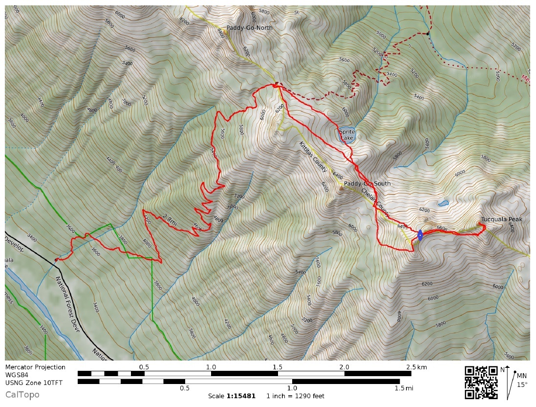
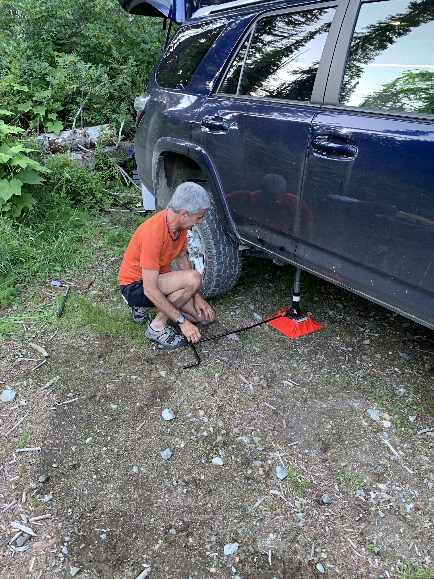
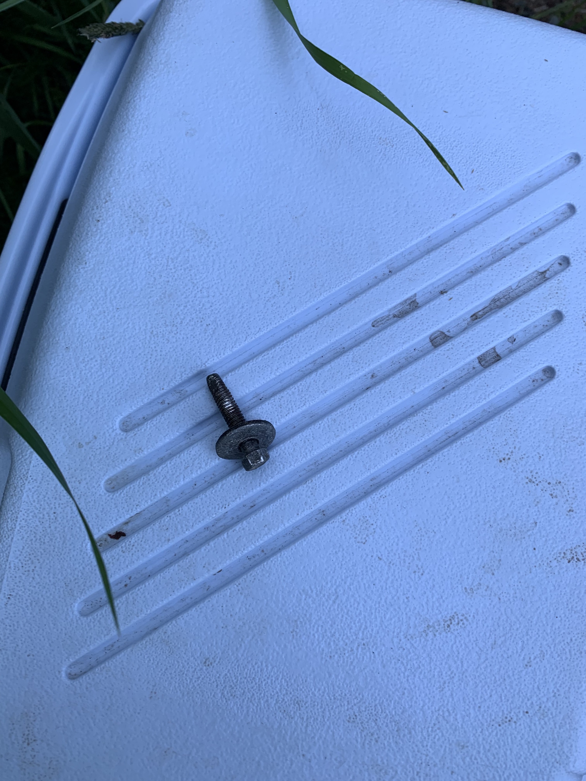
The Peak is accessed via the Paddy Go Easy Pass Trail. See: https://www.wta.org/go-hiking/hikes/paddy-go-easy-pass . The TH and parking can be found at: 47.5332, -121.0827. To get to this location, drive approximately 31 miles from I-90 (Exit 80), mostly Northbound, on Bullfrog Road, SR903, Salmon La Sac Road (AKA Cle Elum River Road). The last 16 miles or so are a rough logging / Forest Service road. At mile 28.6 is the "famous" Scatter Creek Crossing, which can have water up to 1 1/2 feet deep, depending on season and snow melt. We had no problems in getting to TH with Tim's Toyota 4Runner. The drive from Bellevue took about 2 1/2 hours. Unfortunately, we discovered the rear passenger tire had a leaking puncture. The puncture was provided curtesy of a 2-inch auto body trim bolt, dropped along the rough road, along with other detritus, ejected from the cars driven by the Testosterone Crowd. I saw several pieces of car body and trim along the way to the TH. Tim made quick work of fixing the tire, and we had no problems driving it back home.
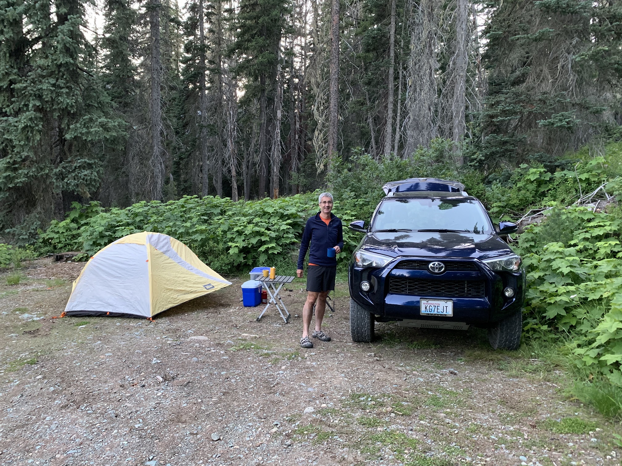
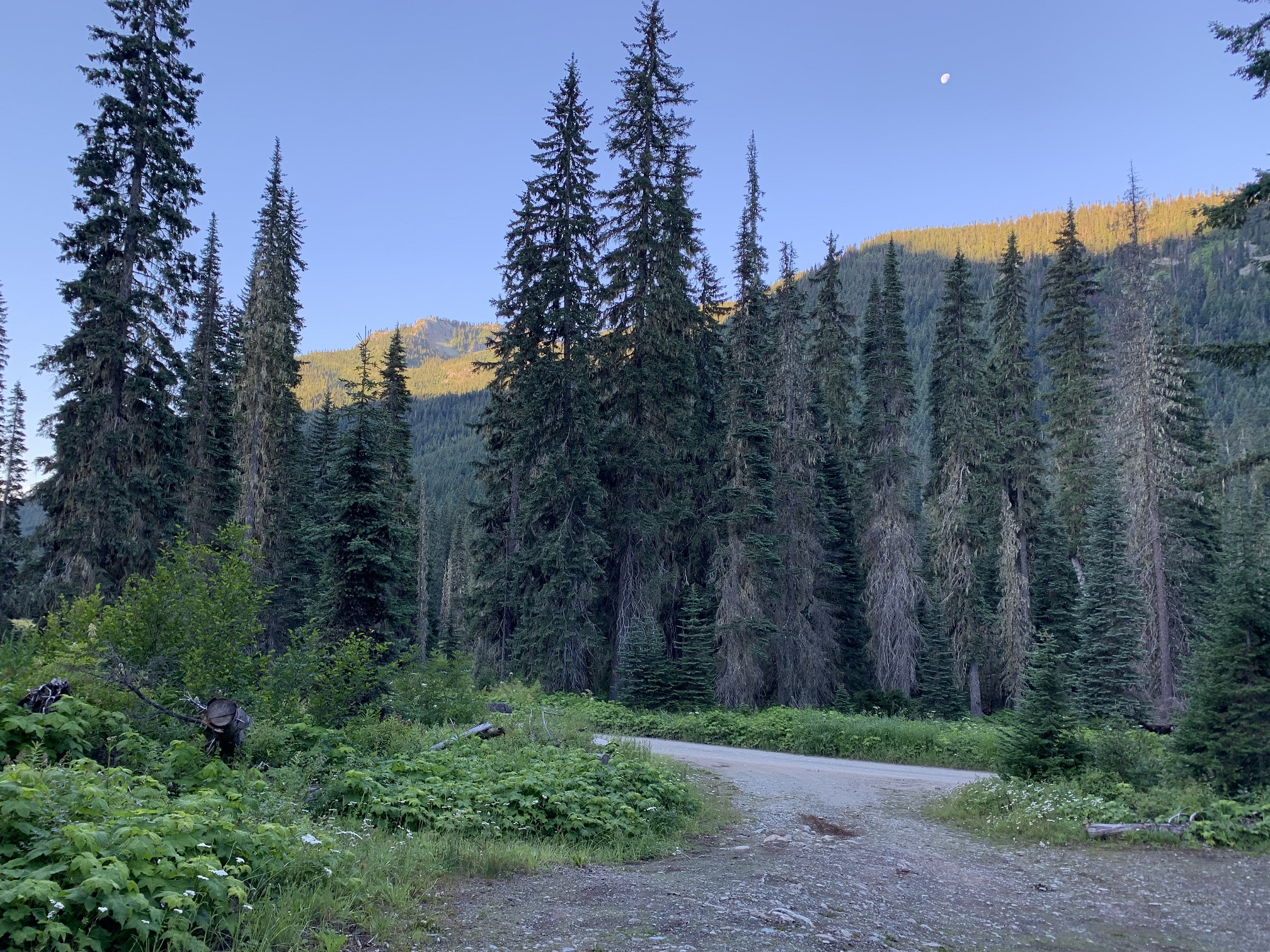
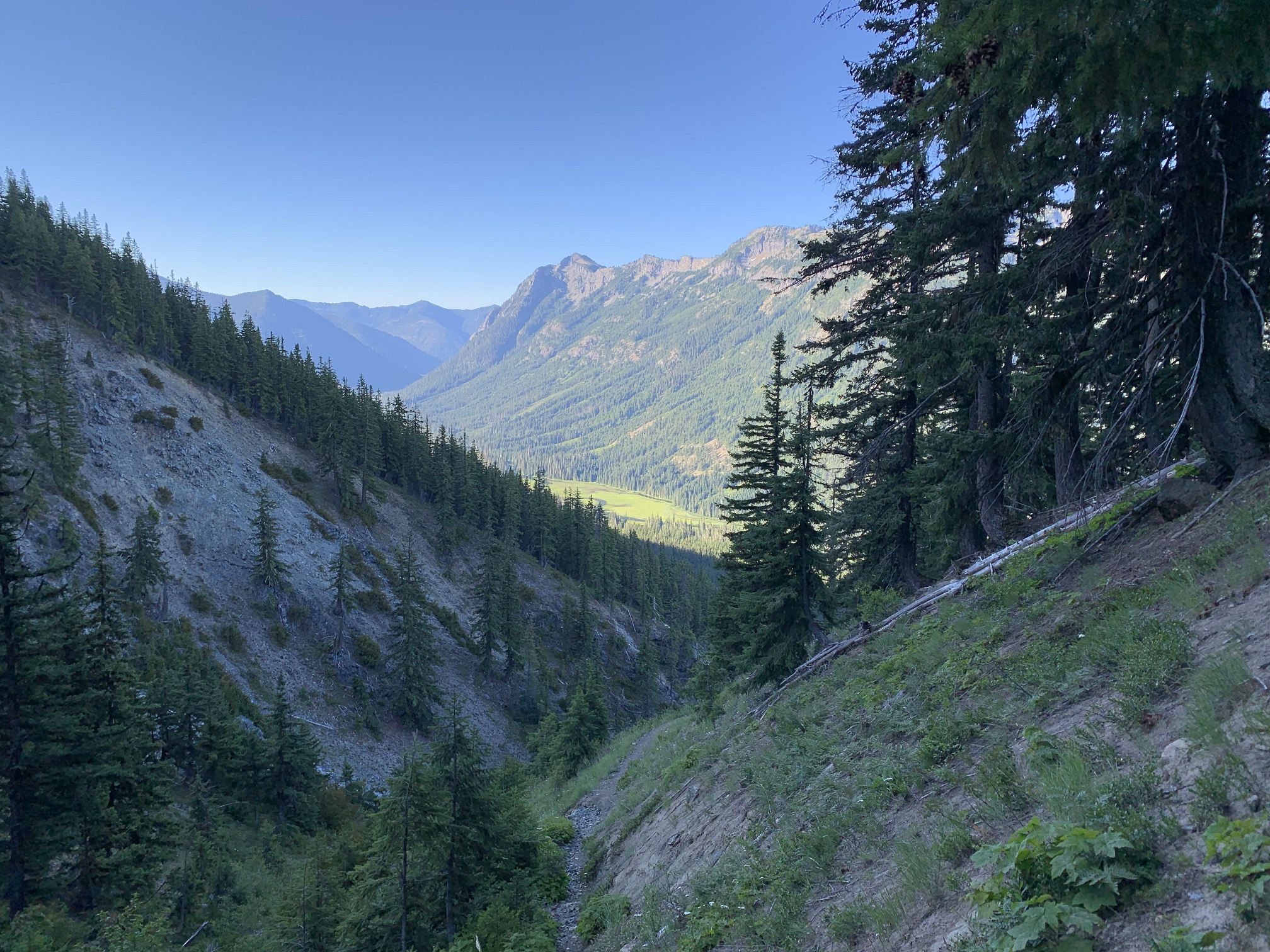
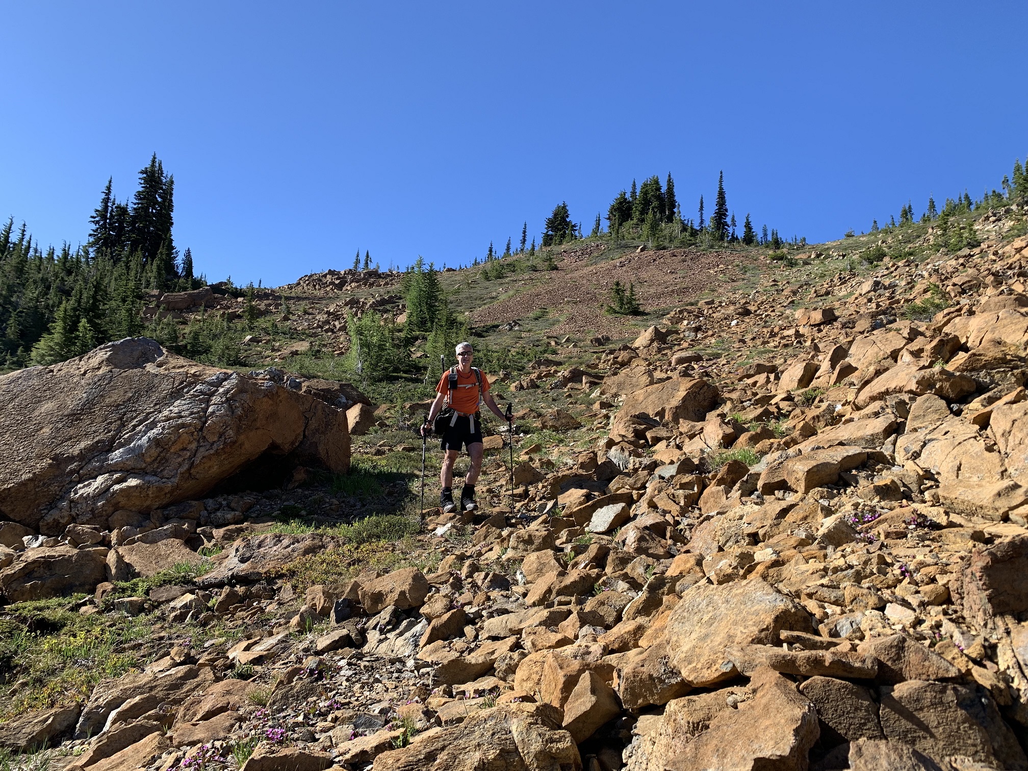
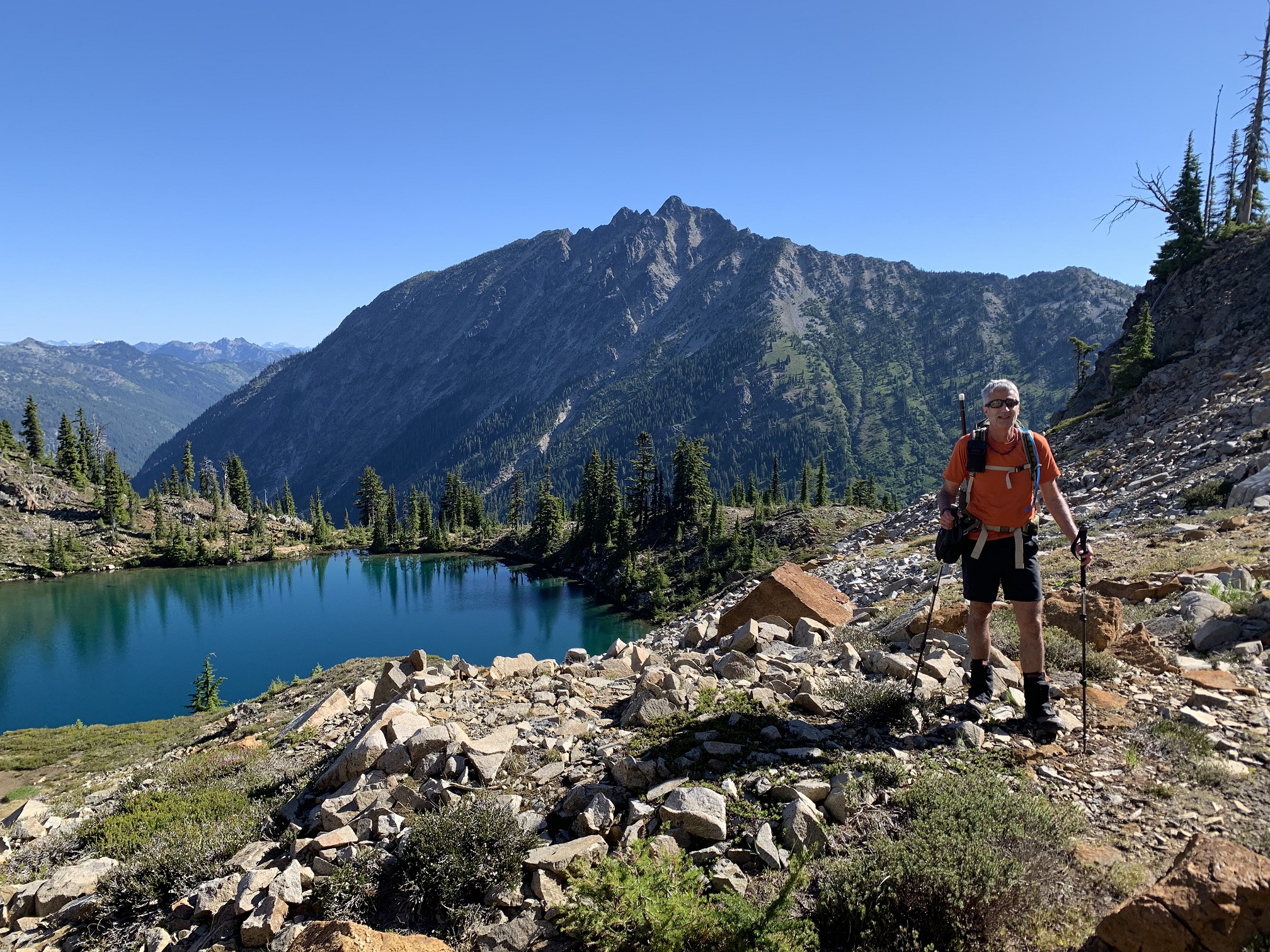
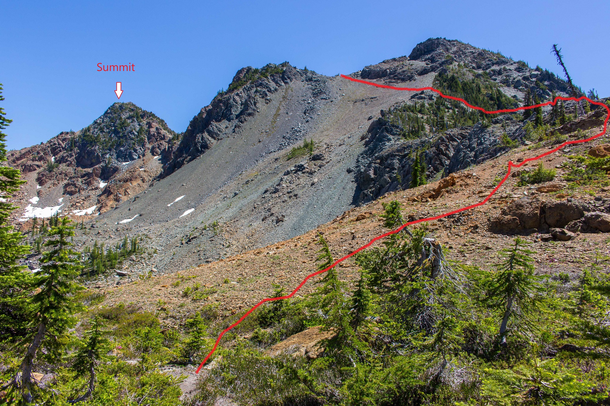
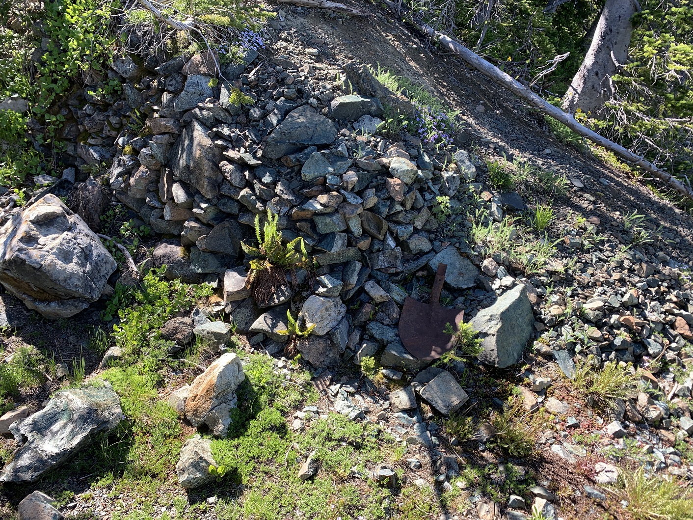
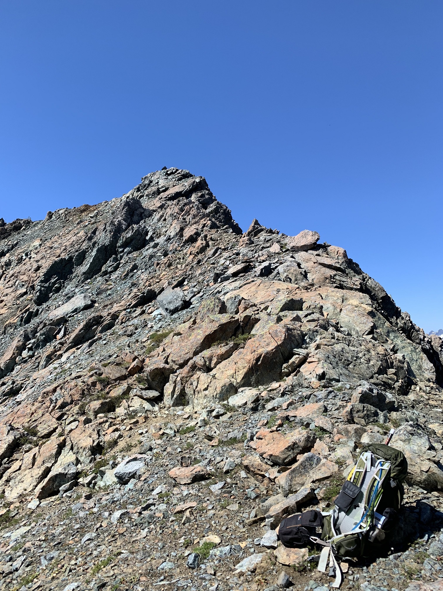
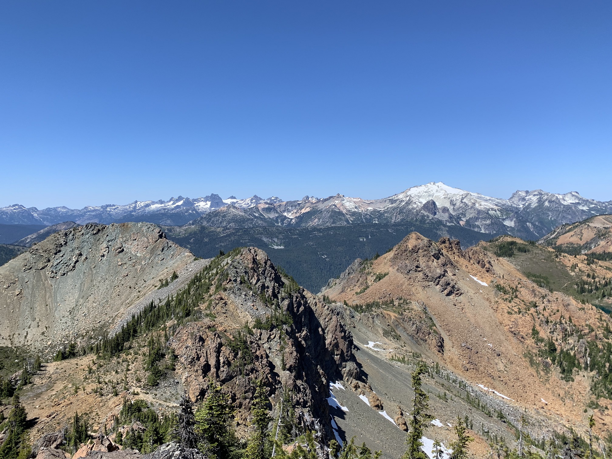
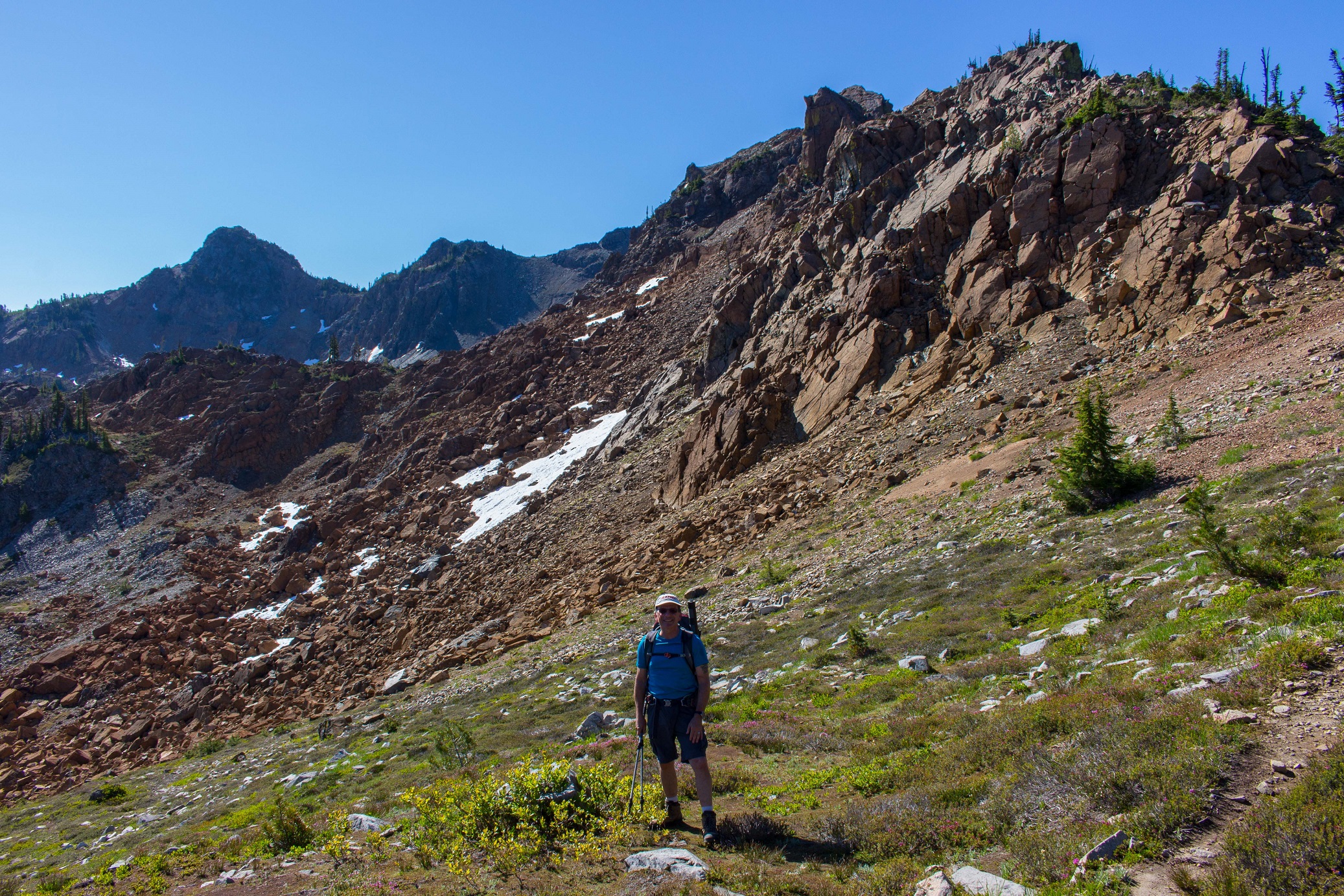
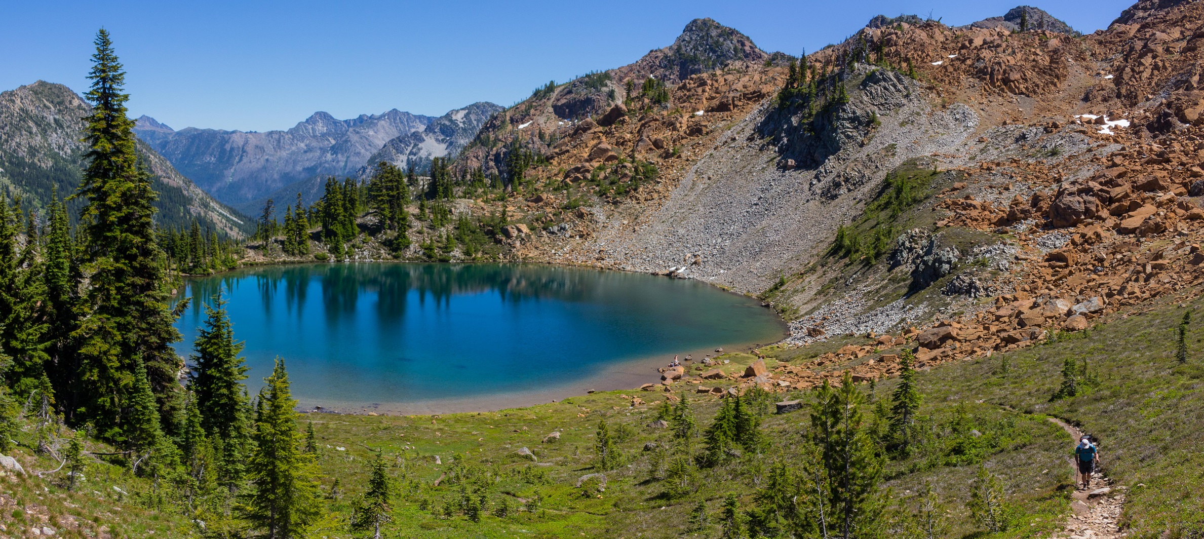
Camping at the TH on Saturday night allowed a relatively early start at 6:50 AM. By 8:30 AM we were at Paddy Go Easy Pass, having gained 2,800 feet in 2.8 miles. From the Pass to Sprite Lake, a lovely gem of an alpine lake set against the impressive background of The Cradle, the trail becomes a boot beaten path. Beyond Sprite Lake, the remainder of the trip is on steep, rocky and sometimes loose terrain. Route finding is relatively easy in the generally open terrain. It took us 4 1/2 hours to reach the summit from the TH. We wasted close to an hour going around the west slope of the "West Summit", and then up and over it. Along this section, we found signs of a small mining operation, with a rusty old shovel laying near an obviously built up retaining wall. Reaching the "West Summit" necessitated down scrambling on loose and somewhat exposed rock, to reach the correct Col. The key to the easiest ascent of Tacquala Peak is getting to the correct Col between the "West Summit" (6,740 feet) and the "Central Summit" (6,680 feet). Location of this point is: 47.5348, -121.0463. It is shown on the Route Map, attached to report, as a blue diamond. It looks very unappetizing from a distance, being a steep scree and loose rock slope.
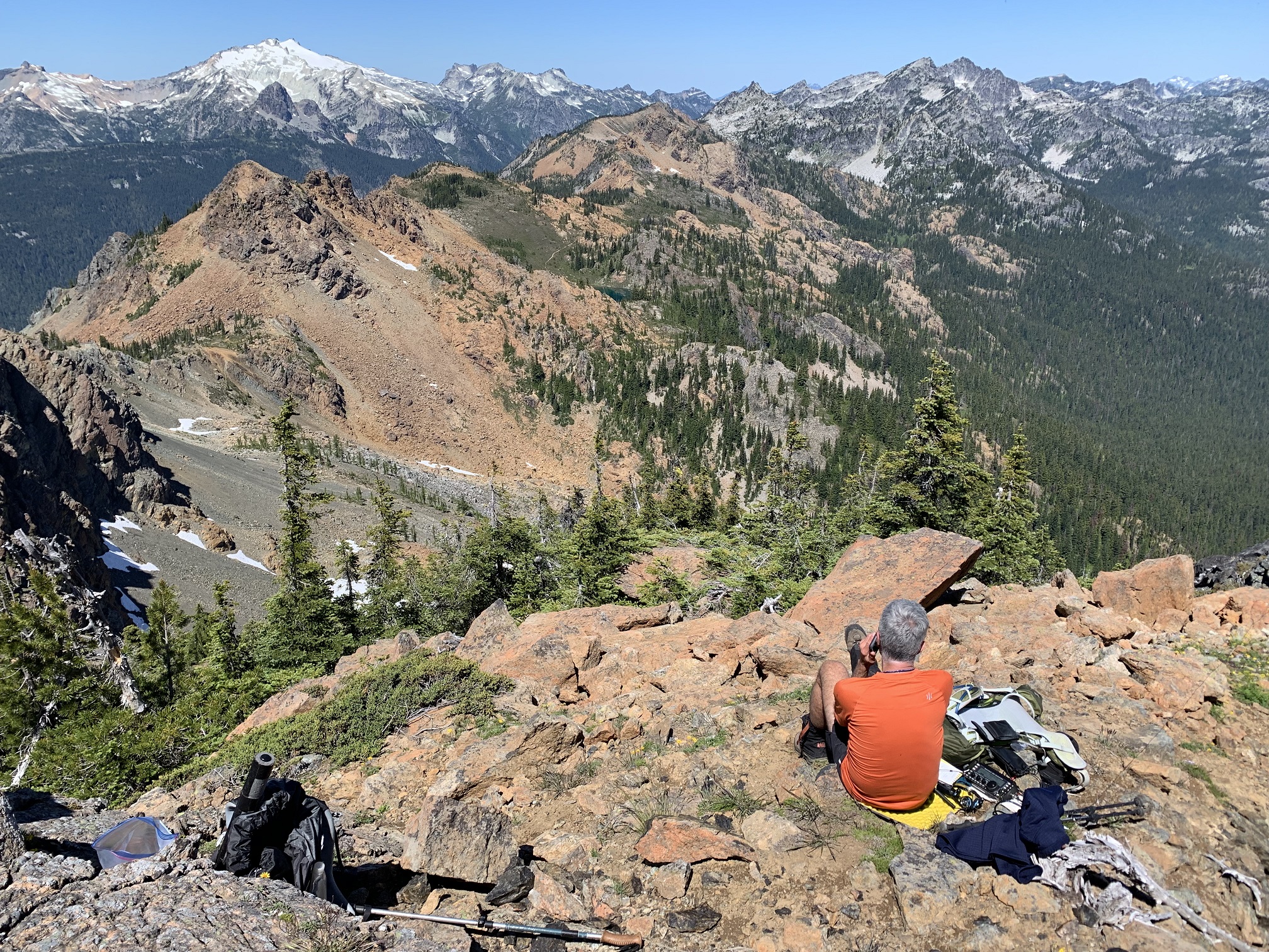
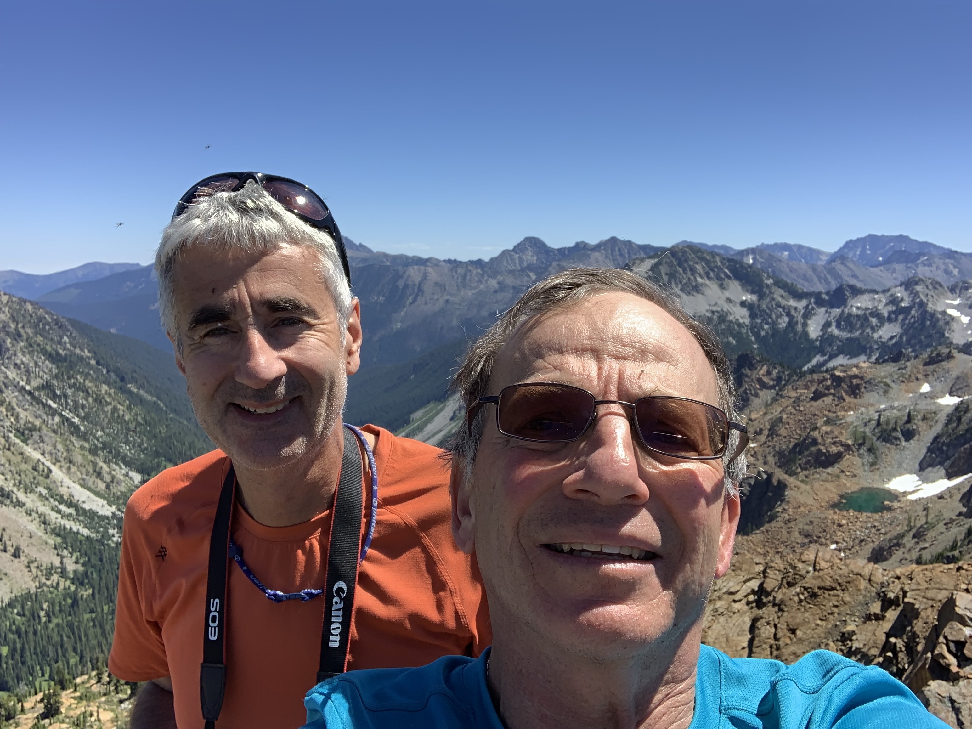
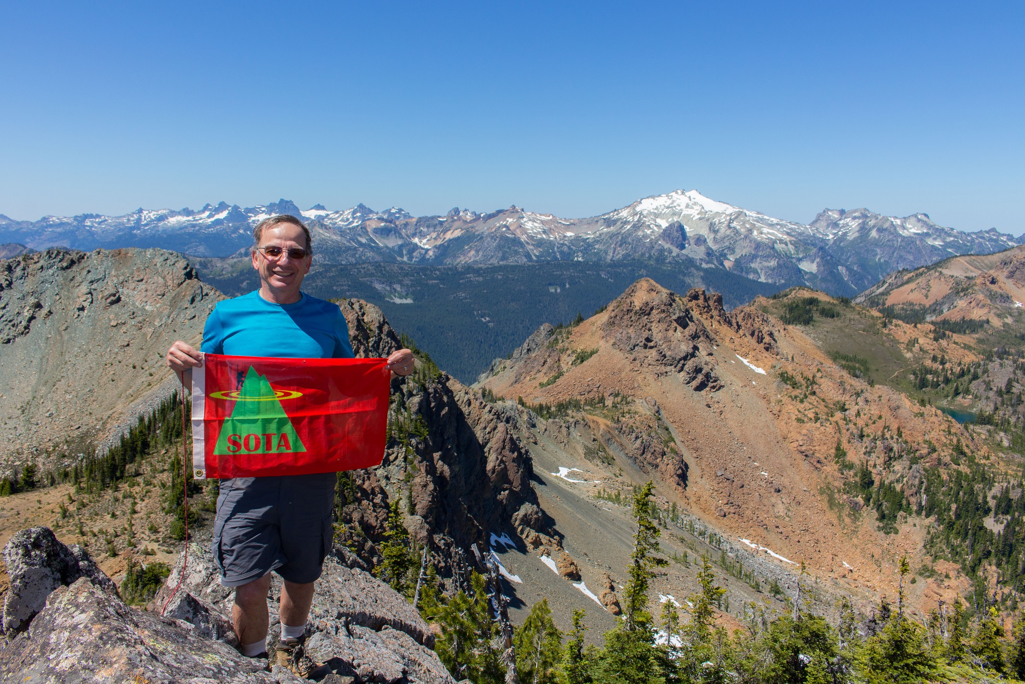
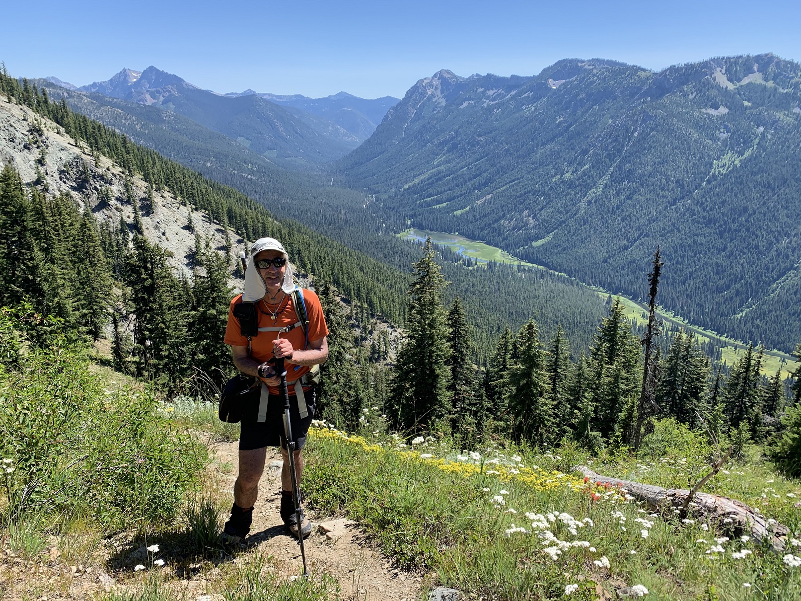
After a successful Activation, with a few S2S contacts, we soaked up the fantastic views, ate lunch and headed down without incident. This time we took the steep scree slope from the Col that we had bypassed on the way up. It was not as steep or as loose as it looked from a distance. We stopped at Sprite Lake to filter water, eat and refresh. The hike down from Paddy Go Easy Pass was tedious as we were heading down in the afternoon sun, on the relentless switchbacks that lose 2,800 feet to the Cle Elum River Valley, far below.
All together a very satisfying exploratory Activation, in a beautiful, not often visited area. The only real negative, was the presence of swarms of voracious mosquitos, augmented by biting black flies. This Activation is worthy of a return trip, perhaps in the fall, when the crowds are down, the mosquitos eradicated, and the fall colors are in force. It is interesting to note that one mile past the TH to Paddy Go Easy Pass, where there was only one other car besides ours, there lies the TH to Mount Daniel, Cathedral Rock, Tuck & Robin Lakes, etc. etc. When we drove there Saturday evening, there were well over 100 cars in the parking area, and along the access road. In contrast, we saw only 5 people total on out route, and none past Sprite Lake.
Overall Statistics (We did not run a track on the way in, so this is compiled from various data sources, and the recorded GPS Track for the return from summit to TH): Round Trip Distance was between 9.25 and 9.50 miles; Cummulative Elevation Gain was 5,185 feet.
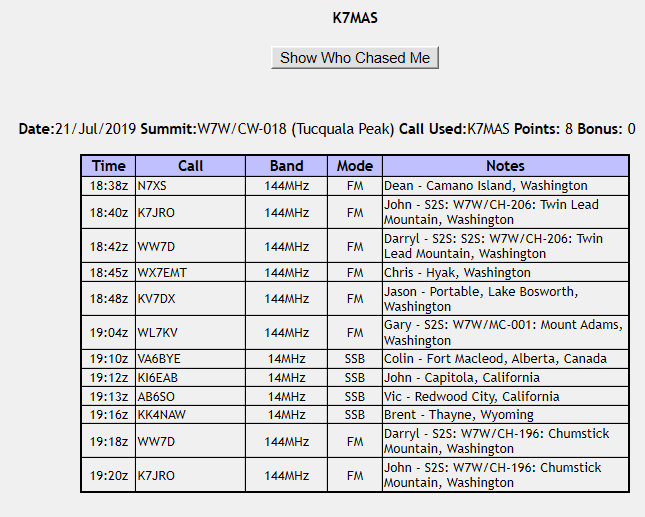
As usual, I'd like to thank the Chasers I worked! Contact Log Attached.