Between October 21 and October 30, 2020, we visited the Sunriver / Bend areas of Oregon. The cold but clear weather allowed us to Activate 8 SOTA summits in 6 outings. This report is one of a series, and deals with the Activation of Pine Benchmark, W7O/CE-068. A little earlier in the day, we had Activated Pine Mountain, W7O/CE-058, approximately 1.6 miles SE away, as the crow flies. This duo makes a fine single day Activation with minimal effort getting from one TH to the other.
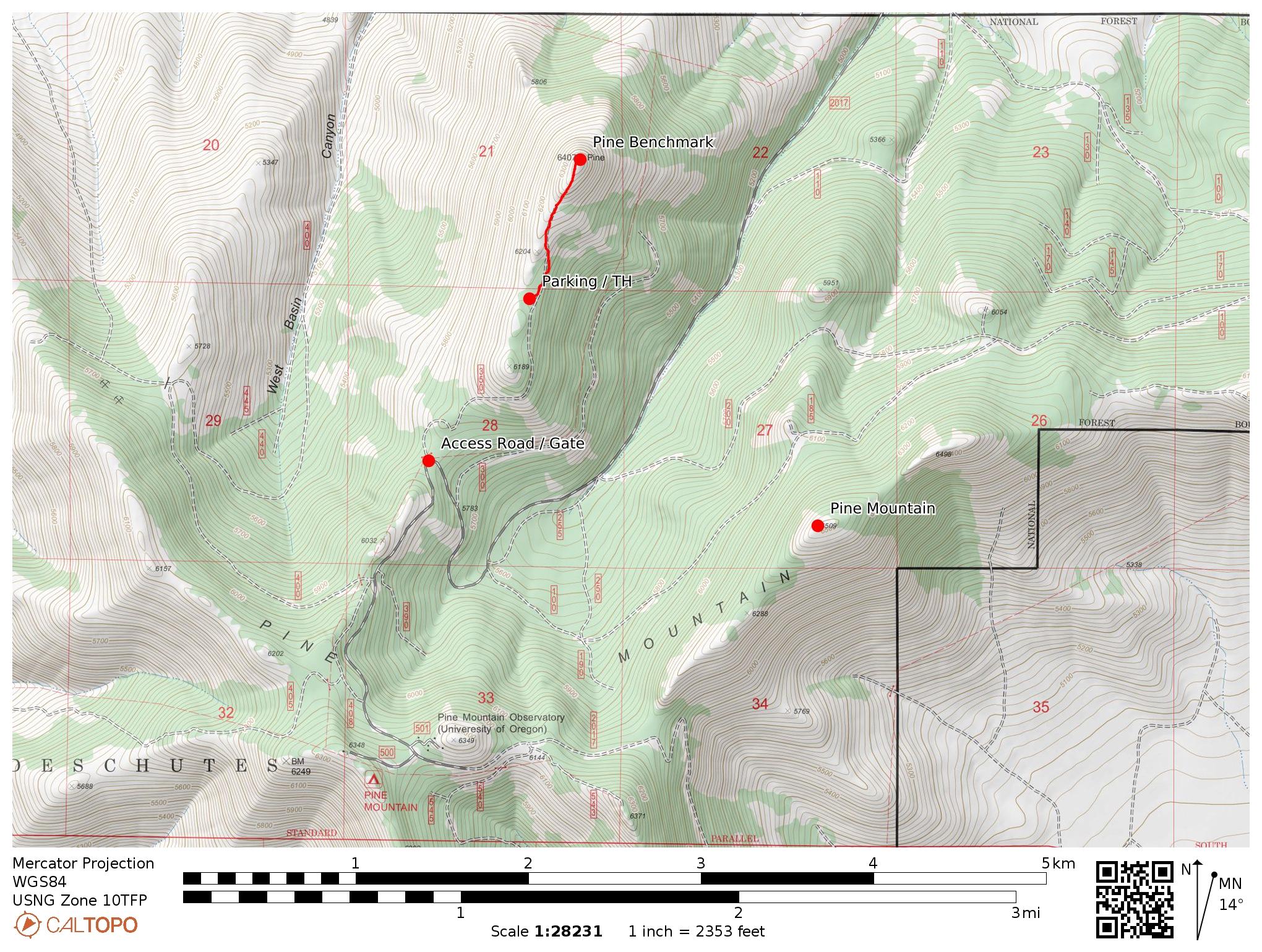
Pine Benchmark, 6,407 feet, is in close proximity to Pine Mountain. However, the two mountains are separated by a 1,200 foot deep valley, wherein lies the access road (FS 2017) to the Pine Mountain Observatory complex. This makes it necessary to drive to the access road (FS350) leading towards the base of Pine Benchmark. This road, FS350, is used to reach the vicinity of the Paragliding takeoff location, at the summit of Pine Benchmark.
If you have Activated Pine Mountain first (recommended), from the turn off location to the Pine Mountain Observatory (PMO), drive FS2017 back down hill approximately 1.25 miles to the sharp hairpin turn at 43.8064, -120.9416. If Activating only Pine Benchmark, or doing so first, then drive FS2017 uphill towards PMO, directly to the hairpin turn cutoff. In either event, you will find a gate closing off FS350. The gate seems to never be locked, at least in the times that we have been there. Merely open it up, drive through and close the gate behind you. I assume this is a cattle gate, as the area, all the way to Pine Benchmark summit itself shows obvious "signs" of cattle being there. FS Road 350 is best tackled with high clearance, 4X4 vehicle. It is rutted, rocky and narrow in places. We were happy not to have any opposing traffic, as in the narrow parts, this would necessitate one of the opposing vehicles to back up to a pull off and passing spot. We drove FS350 approximately 1 mile to park at 43.8150, -120.9343. We elected to park there instead of at the end of FS350 so as to have a little more hiking & elevation gain in our treck to the summit. Again, as on Pine Mountain, there was no one at all that we saw the entire time.
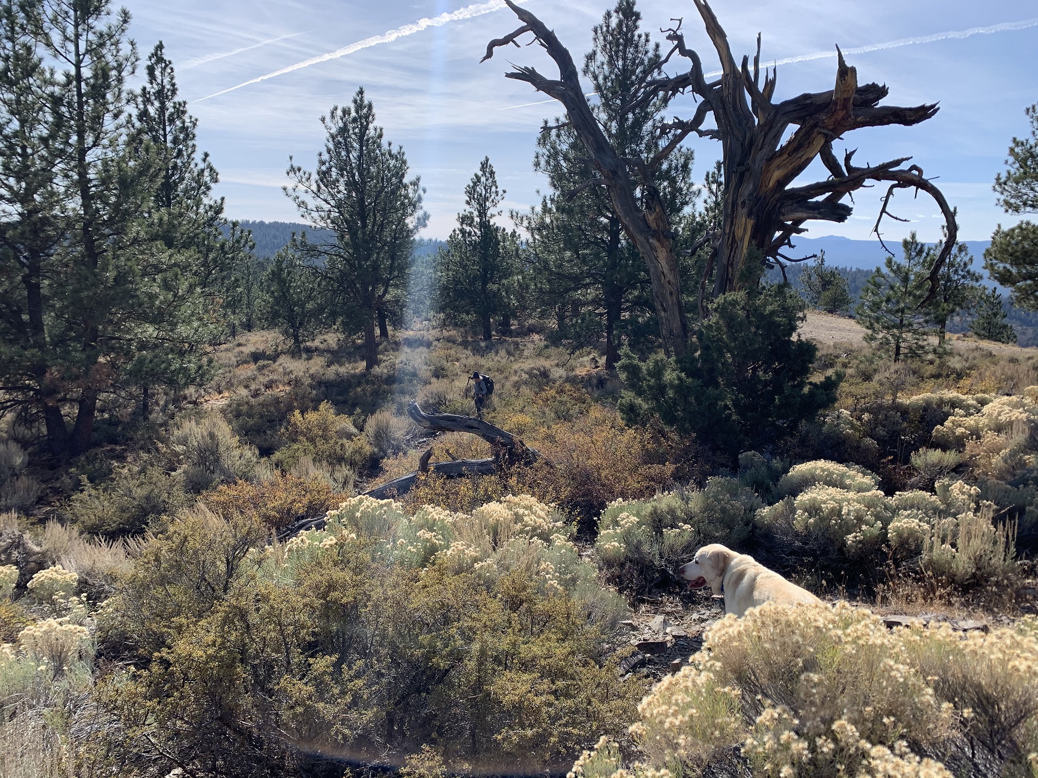
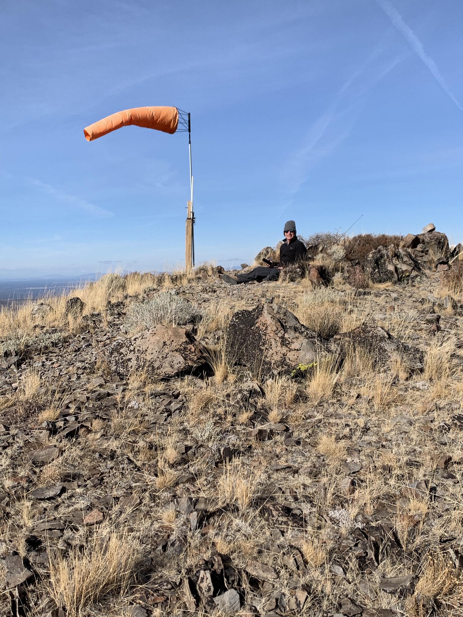
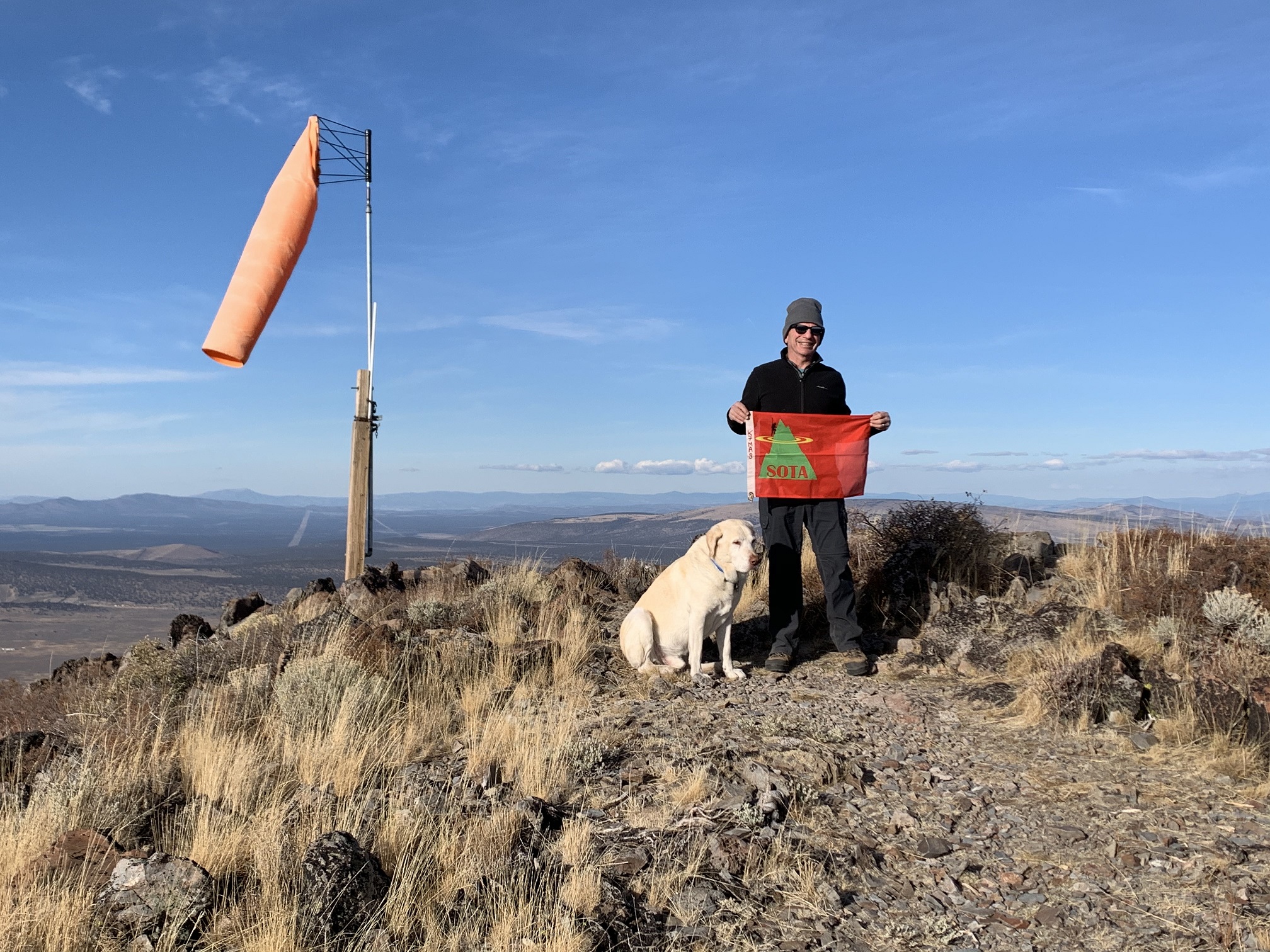
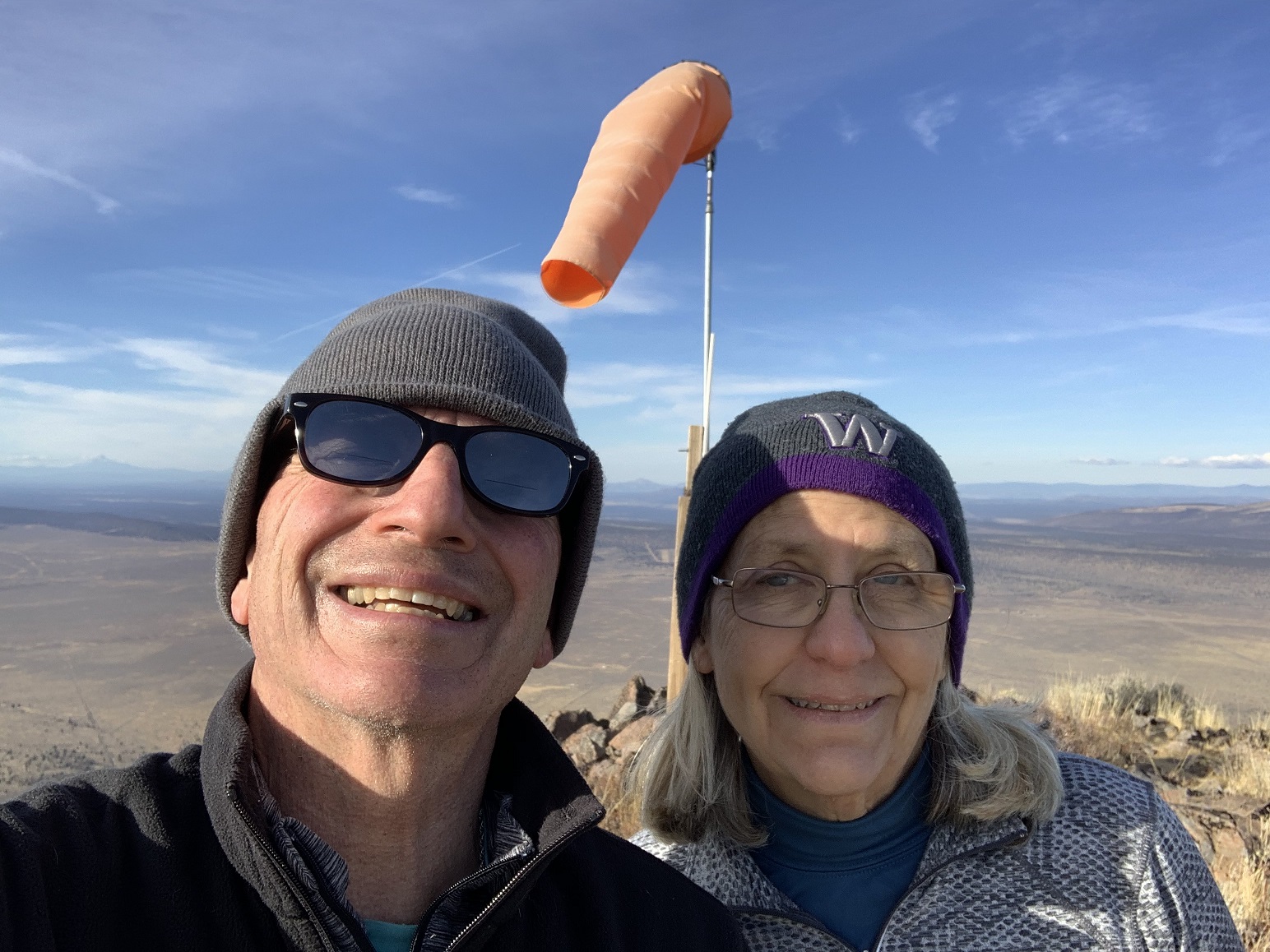
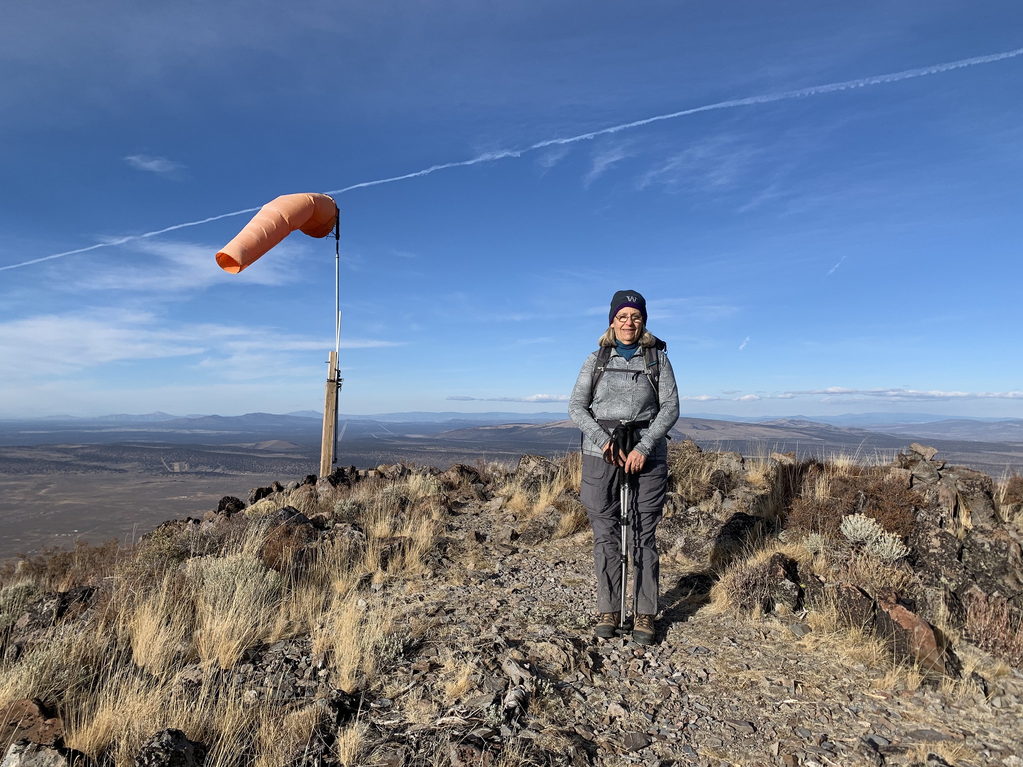
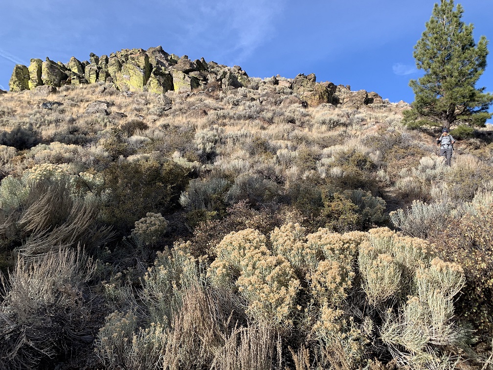
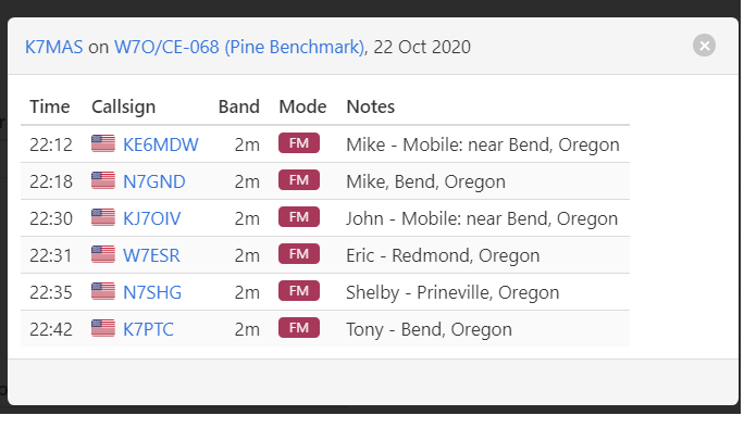
From our parking location to the summit was only 0.65 miles one way, with approximately 350 feet elevation gain, including a few minor up and down sections. We arrived at the summit close to 3:00 PM, after about 40 minues of hiking. Because of the later hour, and slowly sinking sun, I concentrated only on 2M FM. In about 40 minutes of operating, I made a total of 6 contacts. With the sun casting long shadows as it moved to the West, we had some hot tea to warm up a bit, and headed down at about 4:10 PM.
All together a wonderful day, without seeing a single person the entire time on Pine Mountain and Pine Benchmark. Blue skies, wonderful views and easy hiking made for an XYL and SOTA Dog pleasing outing.
Thank you to all my Chasers! Activation log is attached as photo.