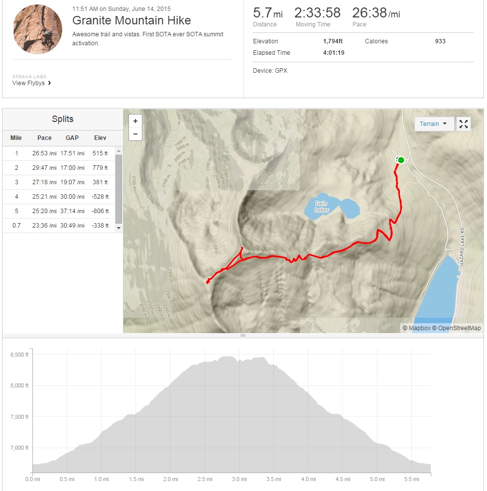
Granite Mountain presented itself as a welcome relief to a string of unsuccessful summit attempts! The road access to long, but smooth. The trail is rocky, but passable. The summit is a double, but the views as quadruple! This was also the first activation of W7I/SR-038.
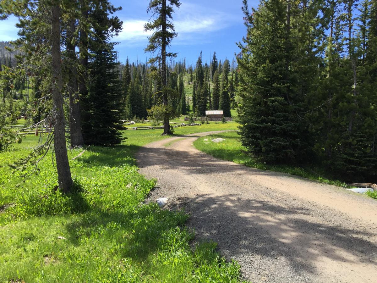
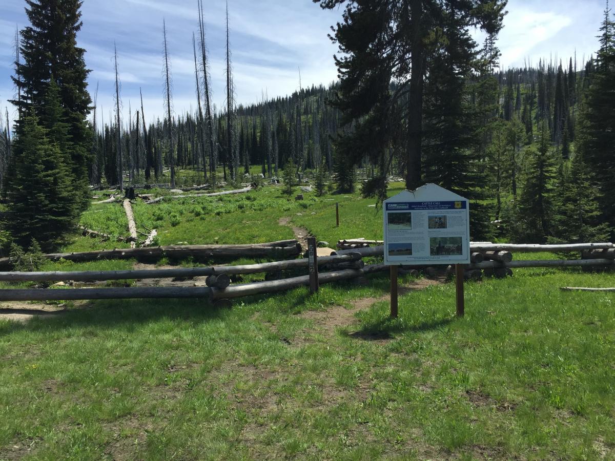
Granite Mountain NW of McCall Idaho is one of 12 peaks in Idaho named "Granite" including 6 which are SOTA summits. This version of Granite mountain sits about 6 miles NW of Brundage Mountain ski area which itself is about 6 miles NW of the resort town of McCall. To get to the mountain, follow the normal directions to the Brundage Ski area (Hwy 55 North out of McCall to Brundage Mountain Rd). When you get to the ski area parking lot, stay on the road as it veers to the left. This road will soon turn to dirt in good condition and become named "Goose Creek Rd". Stay on this road for another 8 miles. There is a small rocky section next to a steep cliff, but other than that the road should be fairly graded and smooth. You are destined for the North end of Goose Lake. Look for a left turn about a mile North of the end of the lake. The trailhead will be down this road a hundred yards or so on the left. Good parking at the trailhead.
Note that if you put Goose Lake into a GPS, it may take you on "Old Goose Lake Rd." You don't want to go this way. Take the Brundage Rd instead. The old road goes to Last Chance Campground and the trailhead for Goose Creek Falls. This is a great hike to the falls, but if SOTA is in your plans, take the Brundage Rd!
Google map to trailhead: https://goo.gl/maps/BCDMRg7SChs
Reference other hiking reports for trail descriptions:
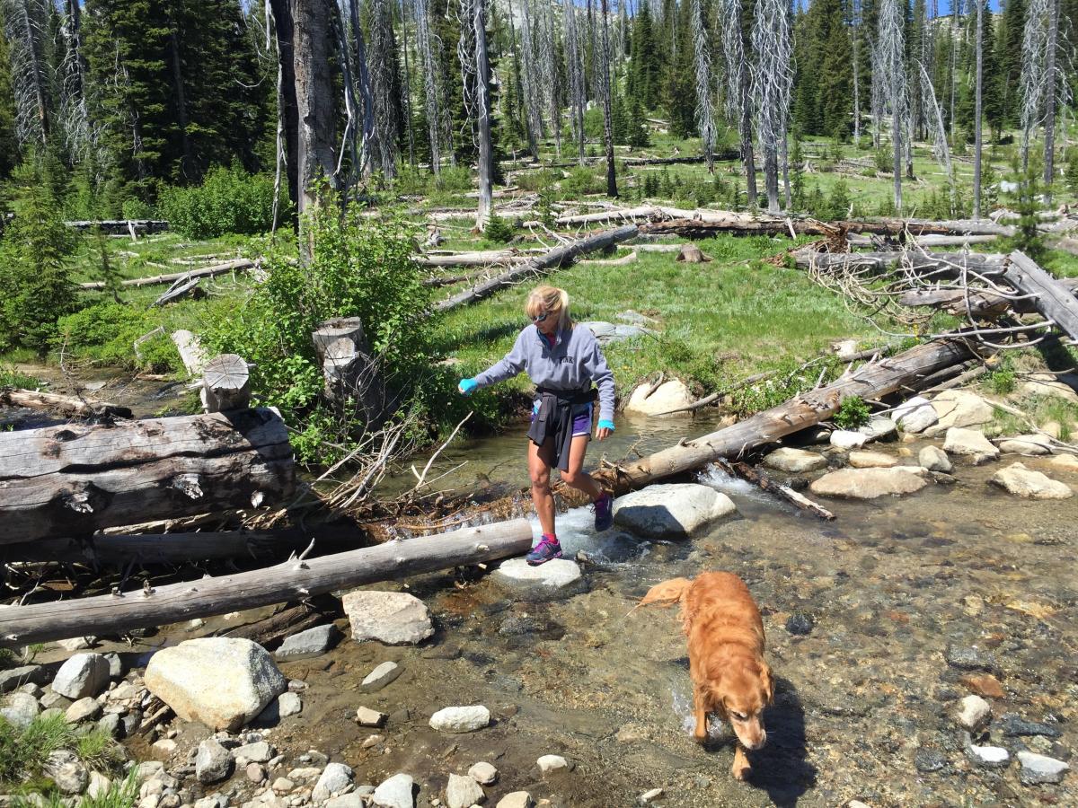
The trail to the summit starts in a burned out, but recovering forested area. There are a few small stream crossings that were easy to hop across. After about 3/4 of a mile you will come to a split in the trail. Take a left for Granite Mountain and a right for the short trip to Twin Lakes.
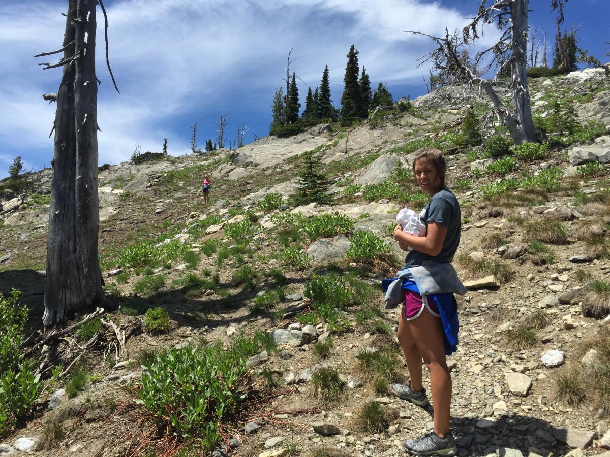
The second section of the trail navigates through granite rock bands and boulders. The trail is well marked with Cairns and never gets overly steep or into class 2 range.
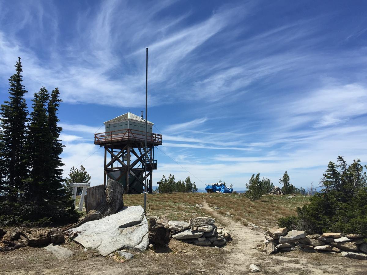
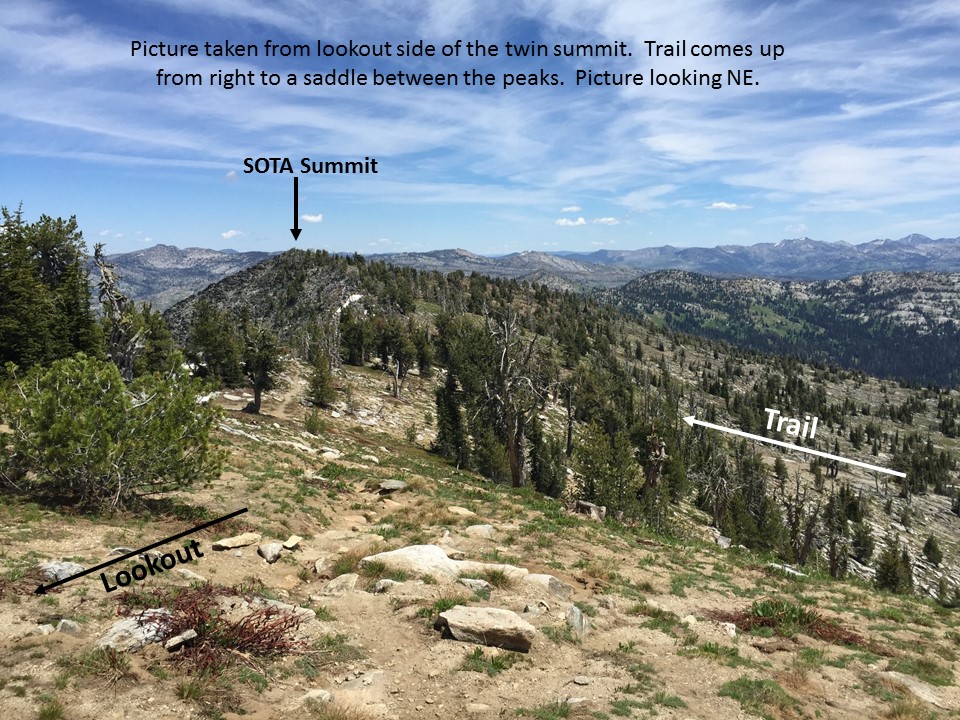
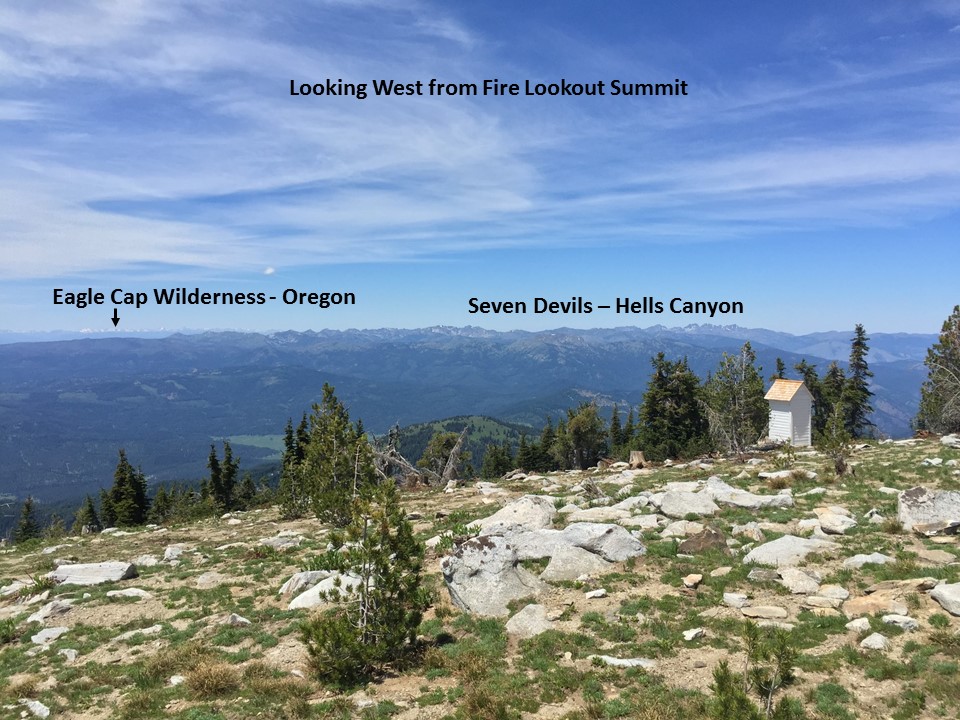
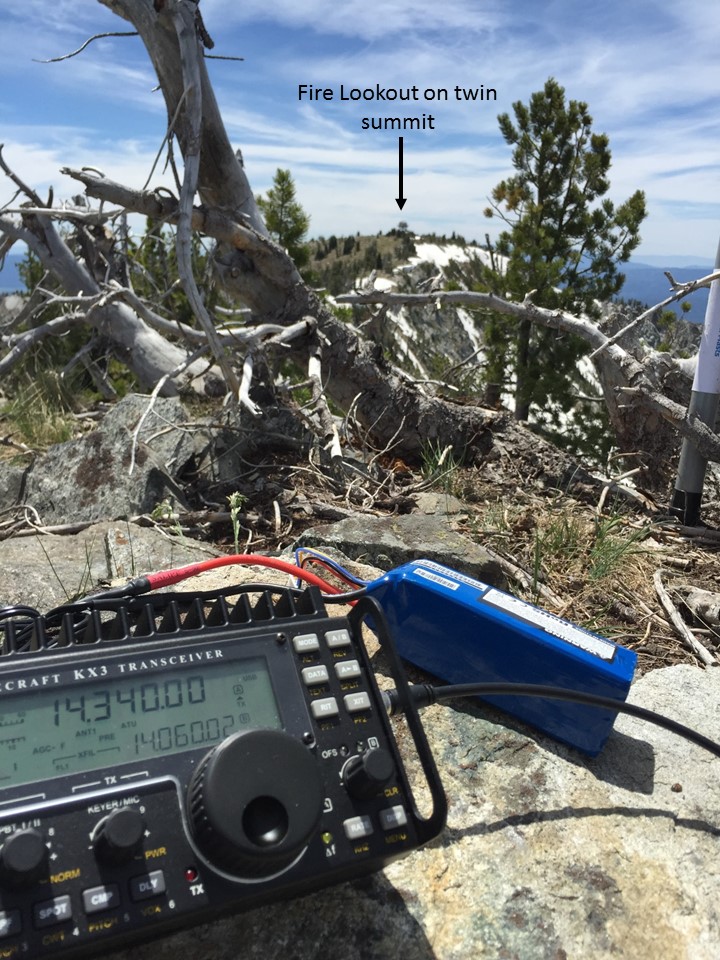
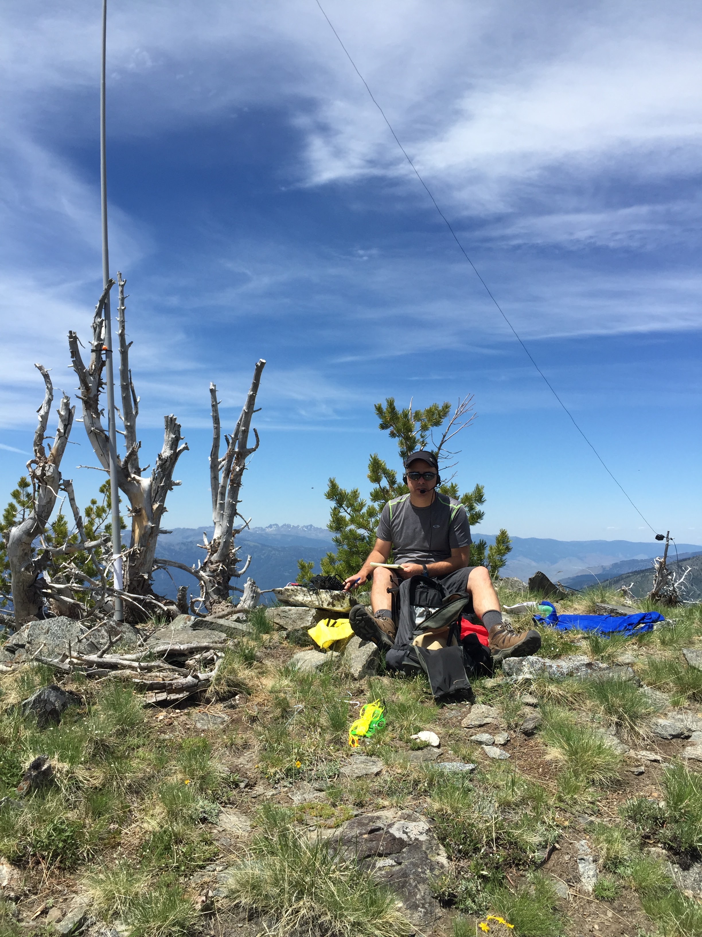
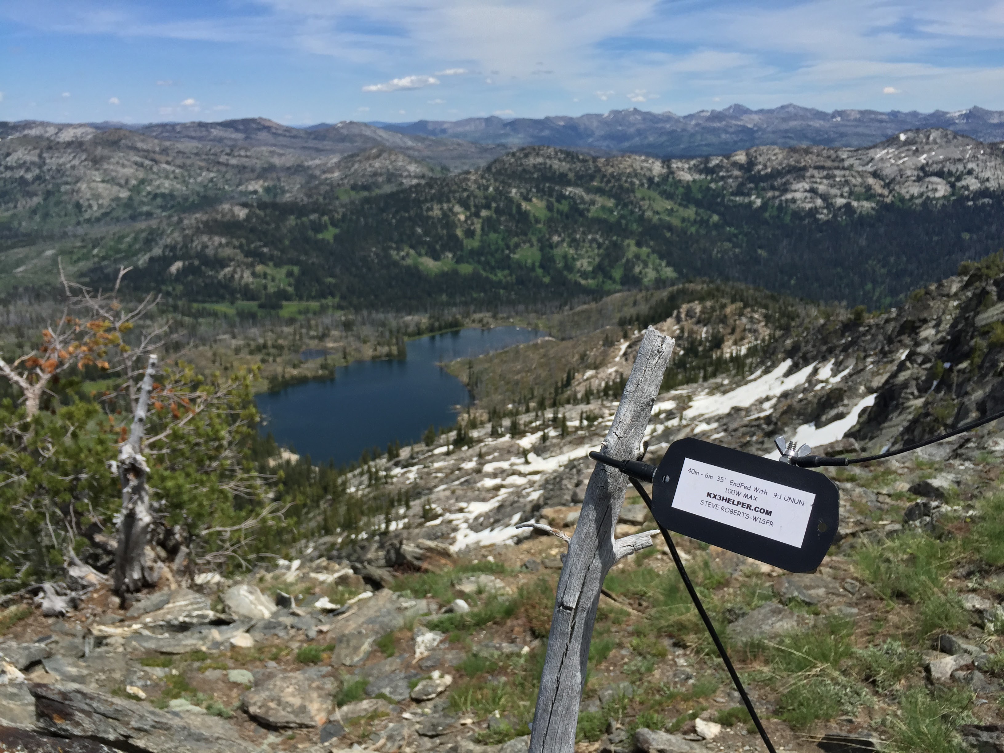
Granite Mountain has a double summit. The trail will lead you to the South summit where the lookout is. Good views down to McCall, Cascade and New Meadows from this summit. Once you wander around the lookout and take in the views, you can descend back to the saddle and up to the north summit that is a few feet higher. This summit is a bit more rugged than the flat grassy area near the lookout. However, there is plenty of space to strap a pole and setup the radio. There are steep drop-offs from this summit to the north and west, but it makes the views amazing. The Seven Devils and Wallowa Wilderness in Oregon can easily be seen looking west from this summit.