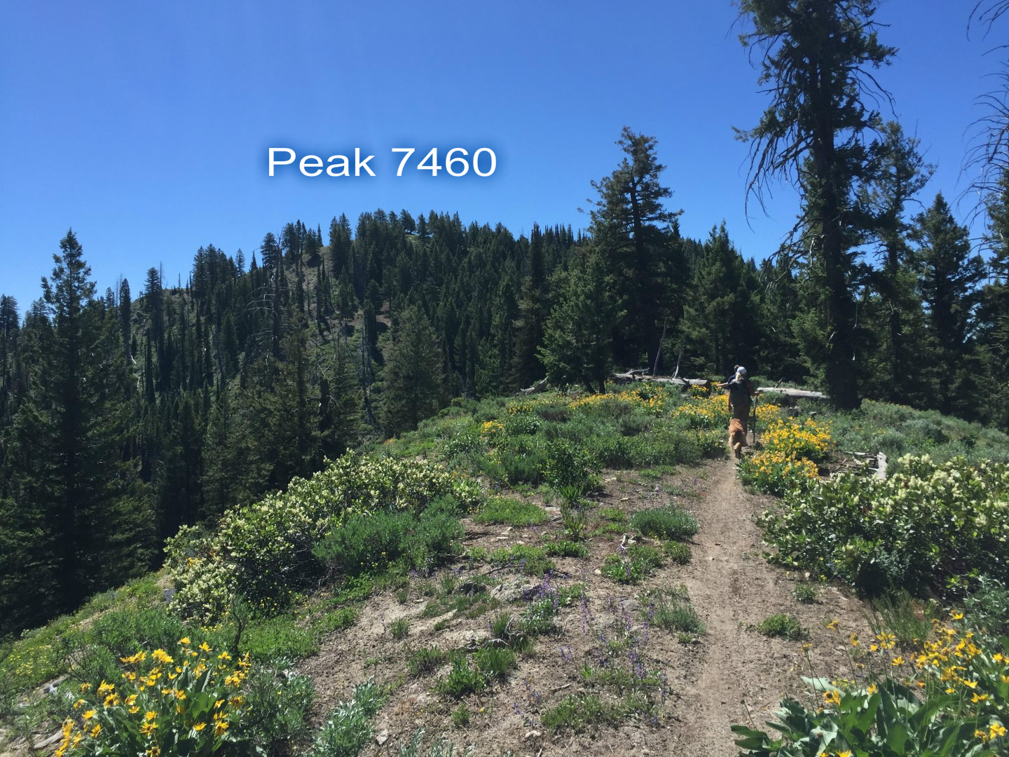
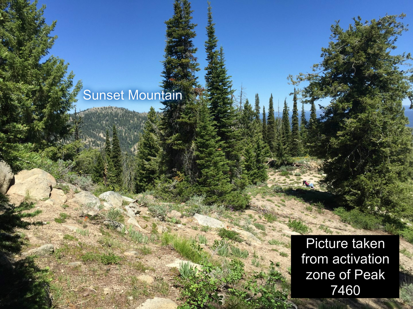
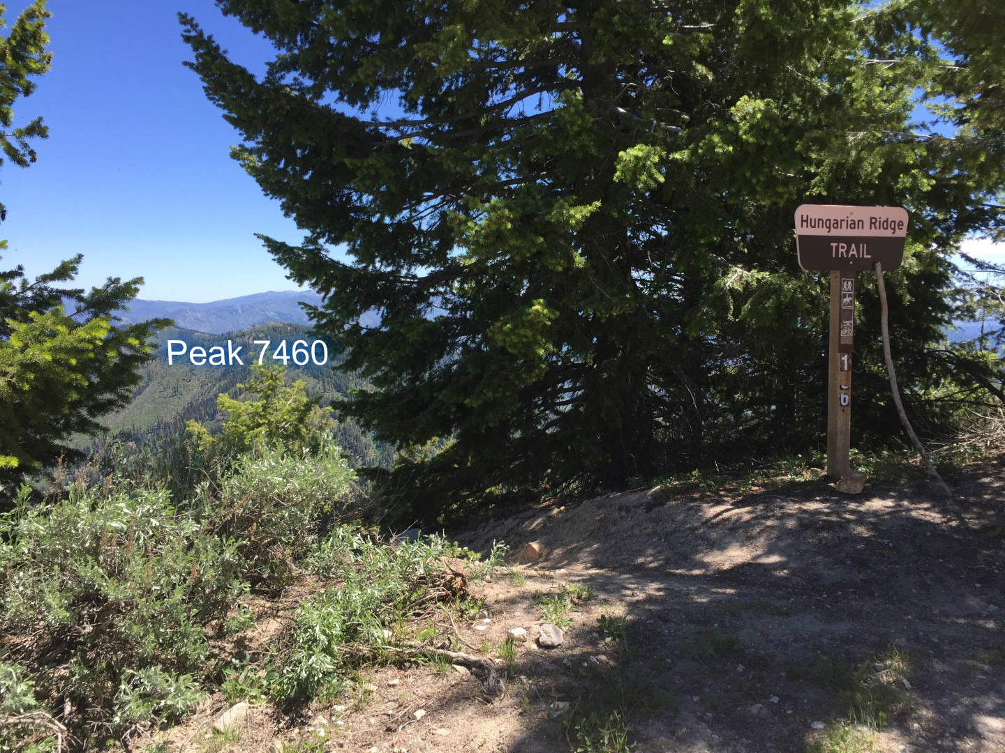
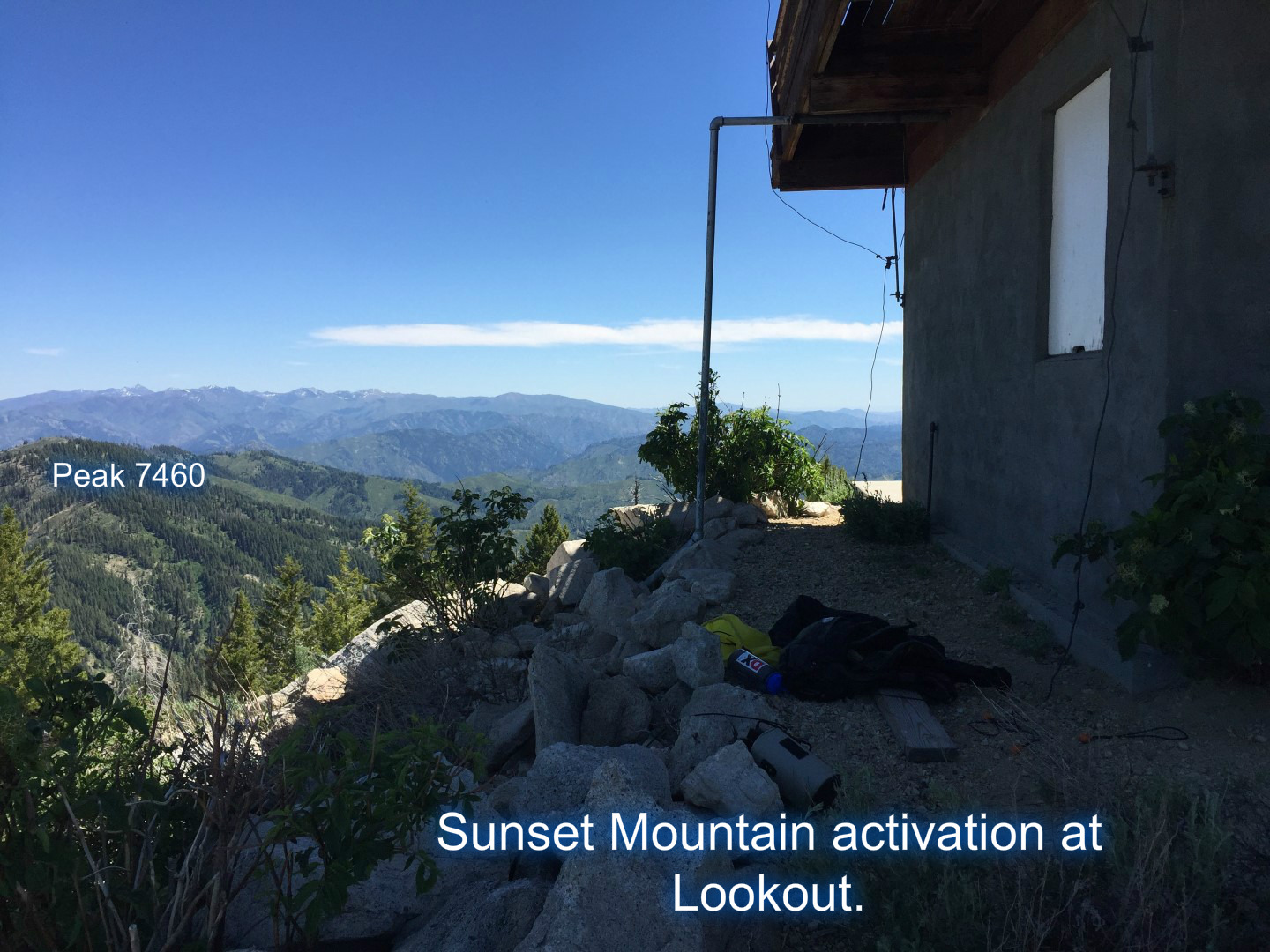
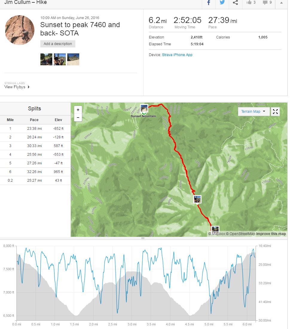
During my first activation of Sunset Mountain (2015), I spied Peak 7460 down the Hungarian Ridge trail leading from the summit of Sunset Peak. An out and back activation was realized in 2016. It didn't see like it was going to be a big deal hiking down from Sunset peak and then back up to Peak 7460, but it turned out to be quite the effort! 6.2 miles round trip and 2410ft of climbing.
No cell coverage out there (middle of nowhere), so glad I am getting back into CW and can use the RBN crutch (even if it doesn't get the right summit!). Thanks for the chasers hanging in there with my variable fist. I was literally getting eaten by biting ants and flies whilst sending. So that adds to the fun.
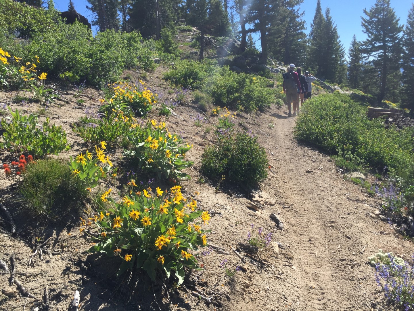
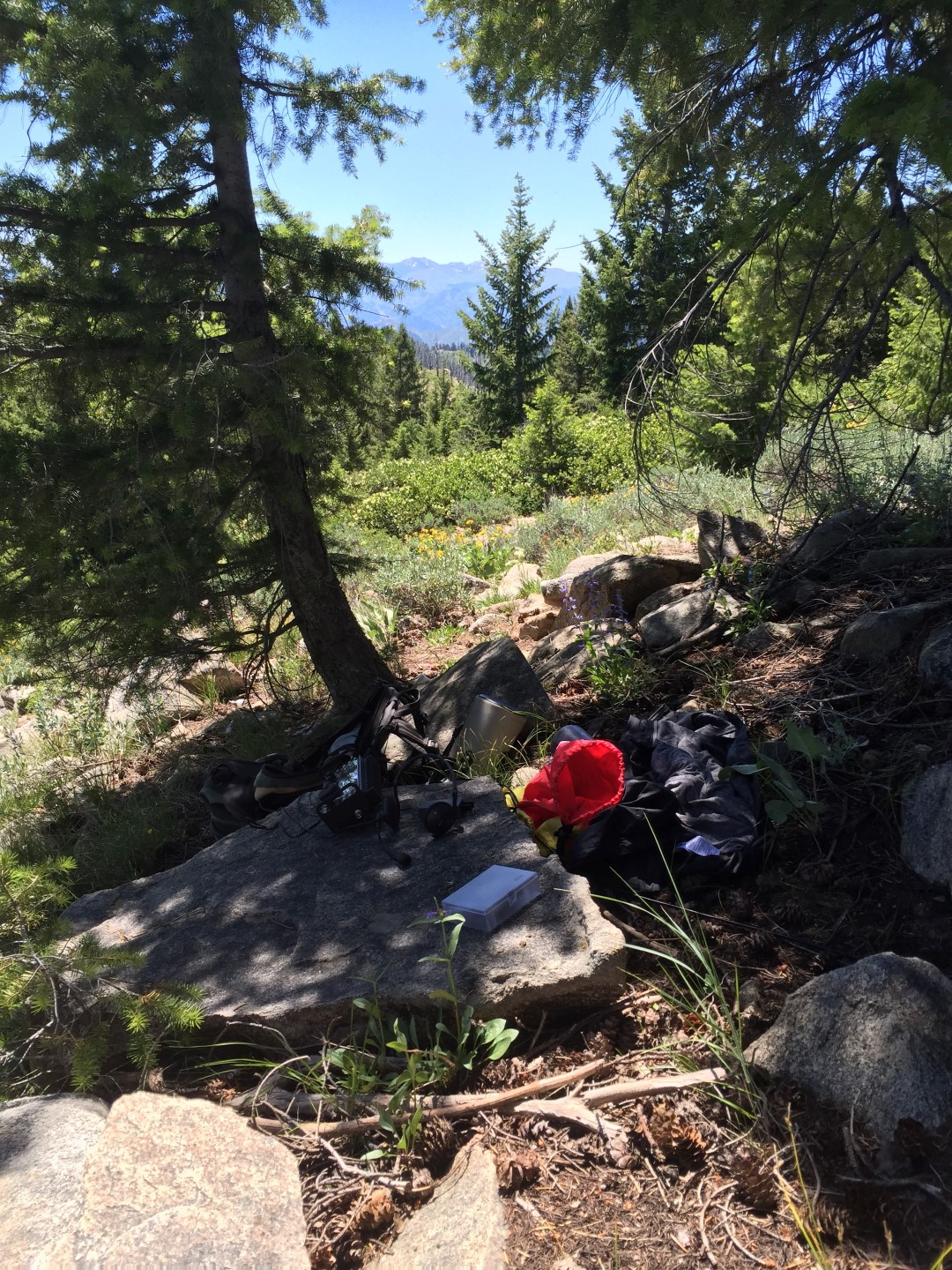
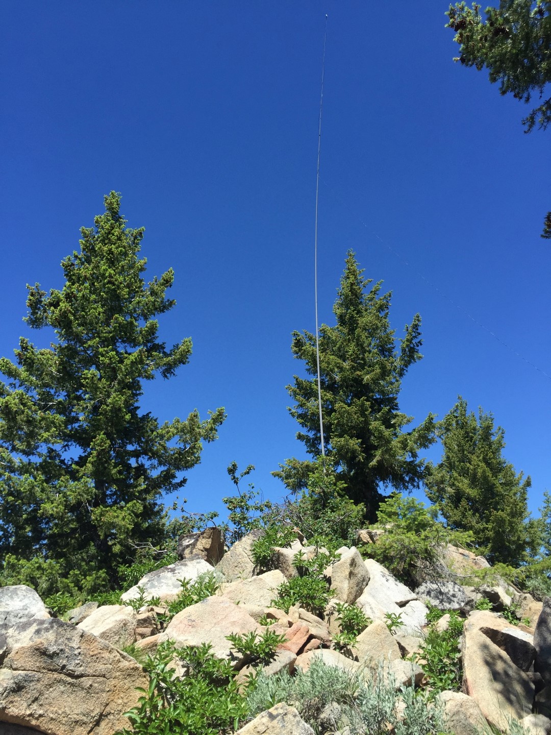
Hungarian Ridge trail is a designated hiking and motorcycle trail. It’s a good trail, but from sunset it drops quite a bit and is steep at times. Hiking poles are recommended (or a motorcycle) to get up/dn the steep sections. The trail runs next to the high point of Peak 7460, so there is a short off trail section to get into the activation zone. Use your GPS to navigate through the trees and short scrub brush and grass to the summit. There are plenty of trees and rocks to strap a pole to on the summit. Tossing a wire over a tree also is an option. AT&T cell coverage is nil. You will get some Verizon coverage depending on where you stand. APRS (not tried) could be possible with a good signal, but you would need to get up to Cascade Idaho (Snowbank) with your signal.
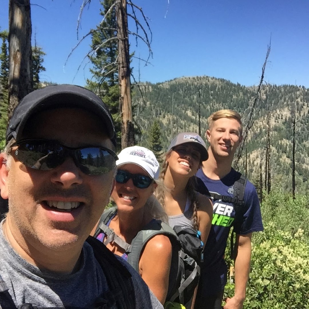
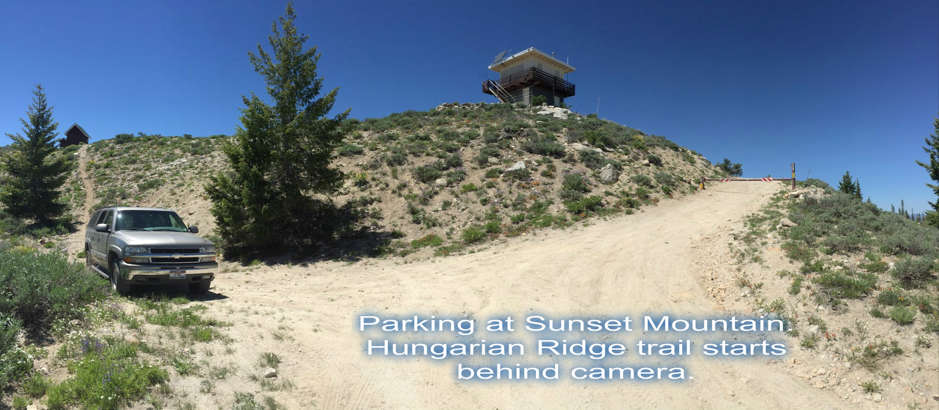
After 7460, we headed back to Sunset Peak where the car was (note: get that jeep for these offroad excursions). It was quite a hike back with a lot of uphill and getting low on water. My wife, dog, daughter and her boyfriend were troopers though. Luckily I had cell coverage (just barely) at Sunset so I could get the spot out quick. AT&T and Verizon usable at Sunset. For a quick setup I hooked my endfed wire to the flag pole rope and ran it up the pole. It wasn't a very high pole so it sloped along the ground.
You can drive to sunset with a high clearance 4x4. I took my Suburban up there, but was touch and go on some ruts. Something shorter wheelbase with good clearance should be fine. During our first activation we took RZR’s up there which was fun. There is a big parking lot at Mores Creek summit where you could leave a trailer and take a 4-wheeler etc. up to Sunset. This is also a good spot to head up to Pilots Peak (4-wheeler or RZR recommended). Also, note during the summer of 2016 the area to the north of Sunset was burned during a forest fire. I don’t think it went through the sunset area as of yet (it is still burning at the time this report is being penned).
More pix here: https://goo.gl/photos/HuR92Se47UYyKe6P6
Here's the strava hiking report: https://www.strava.com/activities/622052785