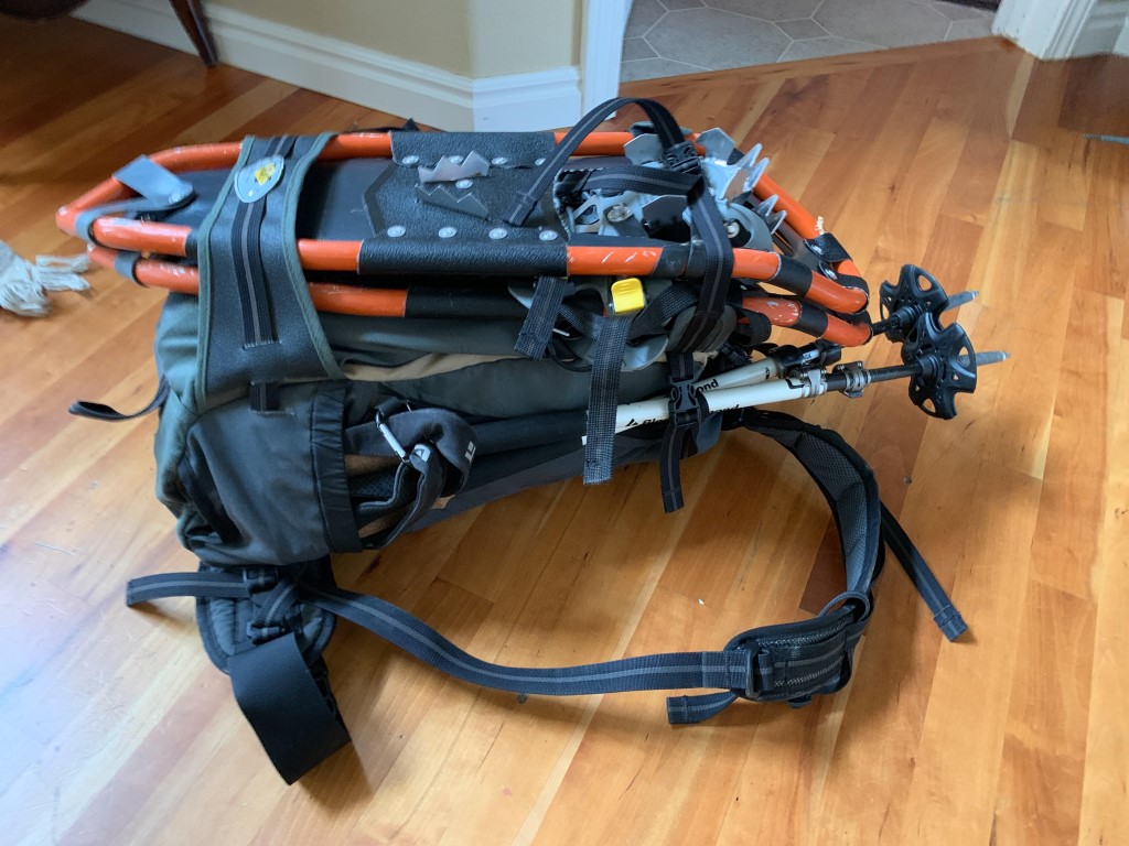
Winter activation of a "standard Idaho 2-pointer" (read: barely achievable especially during winter!). I took advantage of a newly activated holiday at work (President's day) to activate the closest summit to Boise. I went up the standard "hiking" summer route. The round trip on foot is 11.5 miles and 3000 ft vertical. The summer "4x4 drive-up" route is gated closed Nov-April and is currently under a bunch of snow.
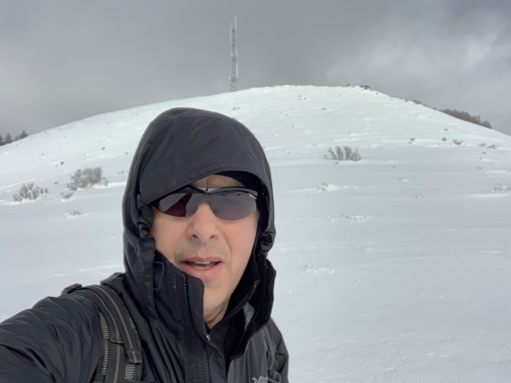
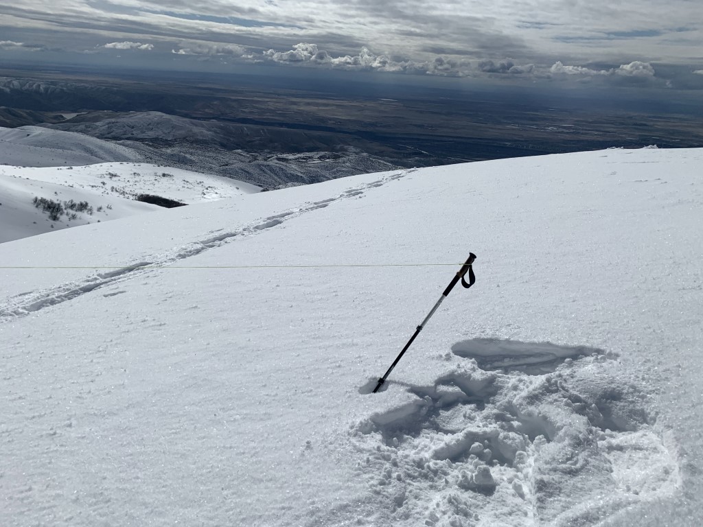
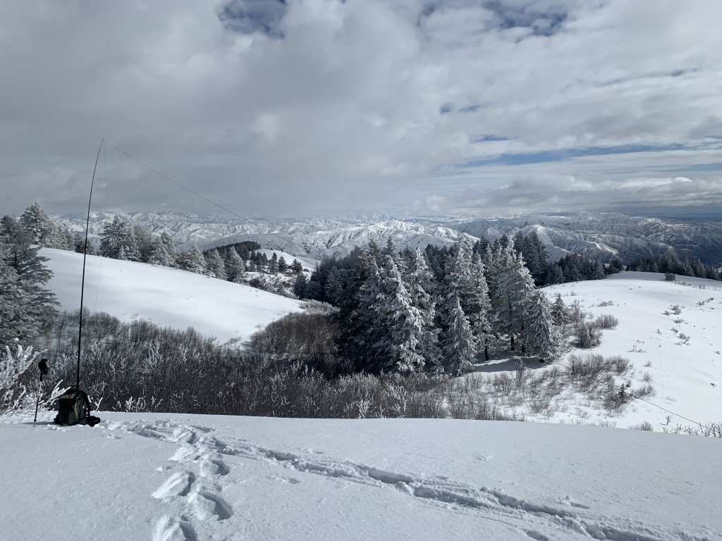
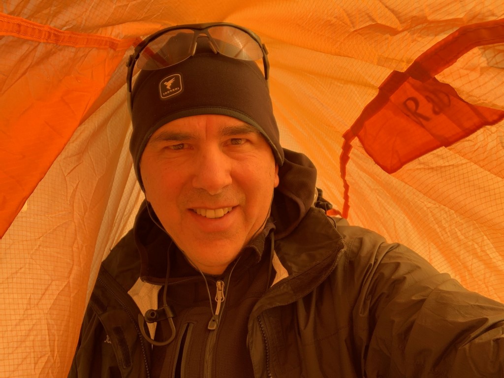
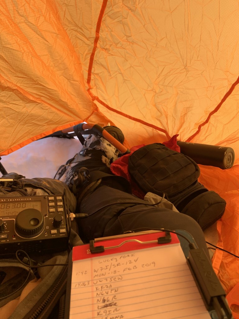
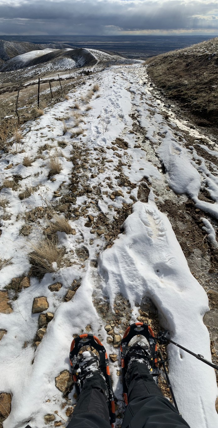
Temps at the base were about 20 degrees and relatively mild. At the summit there was 30+ mph winds which made it quite difficult to stand on the summit ridgeline. Luckily there was some respite from the wind on the SE side and the sun came out for a brief period of time. Achieving the summit was touch and go with the snow, wind and temps. However, with snow shoes, determination and a bothy bag enclosure at the summit it was a successful activation. Descending off the ridge was pretty brutal in the wind and my 1ft-2ft deep snowshoe tracks were gone with the blowing snow.
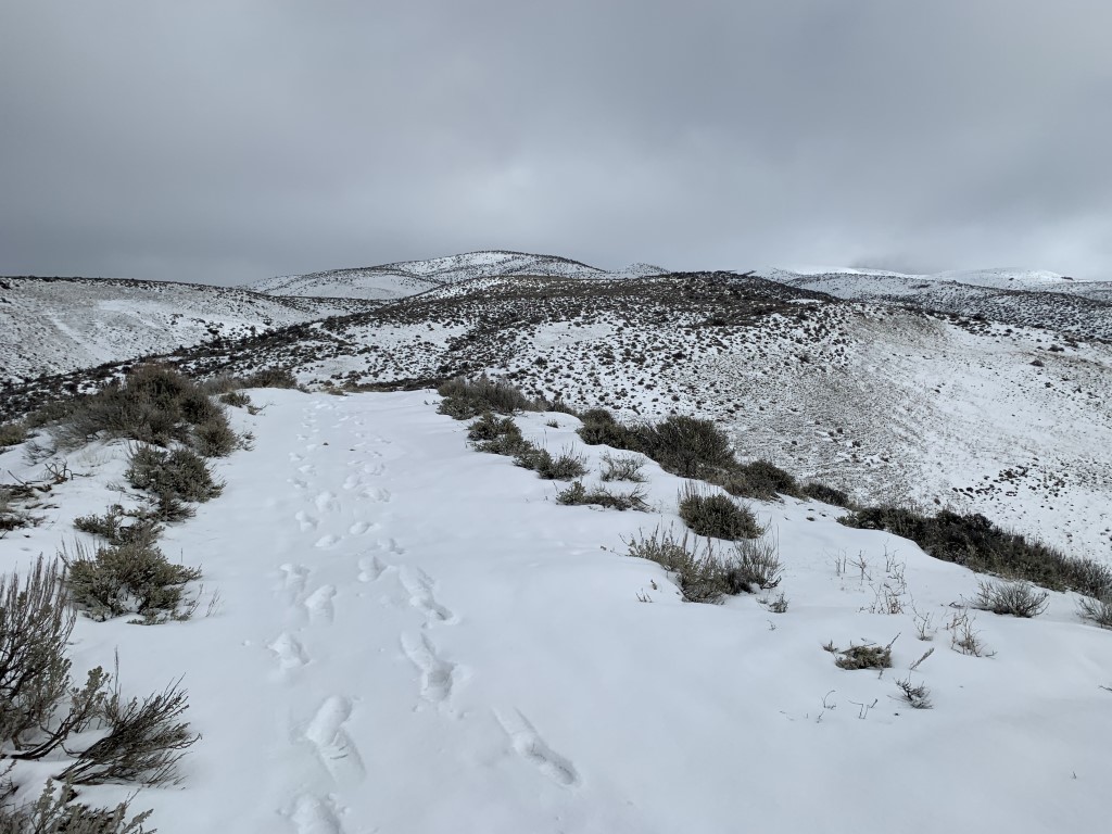
For a winter activation you can get lucky and have a clear trail to the summit, but most of the time at least the top is snow covered. Note the first hill section on the Homestead trail (bottom of route) can get really muddy if temps are above freezing. This is about a 100 yard section that can become very tough to ascend with the mud. The rest of the trail is sandy and has gravel to cut down on the mud during wet times.
Parking is good at the end or along Council Springs Drive. Lucky 13 Pizza and Bar is available within a few blocks of the parking area for post summit food and refreshment
Google map directions to the trailhead from Broadway Ave: https://goo.gl/maps/y27kZ6AhepT2
Homestead Trail (this is the bottom section of the route): https://www.ridgetorivers.org/trails/interactive-map/#F5A1B6B3A885ED29B698C899A7BE639C
Strava Report: https://www.strava.com/activities/2159062442
GPX Track on sotamap page: https://www.sotamaps.org/tracks