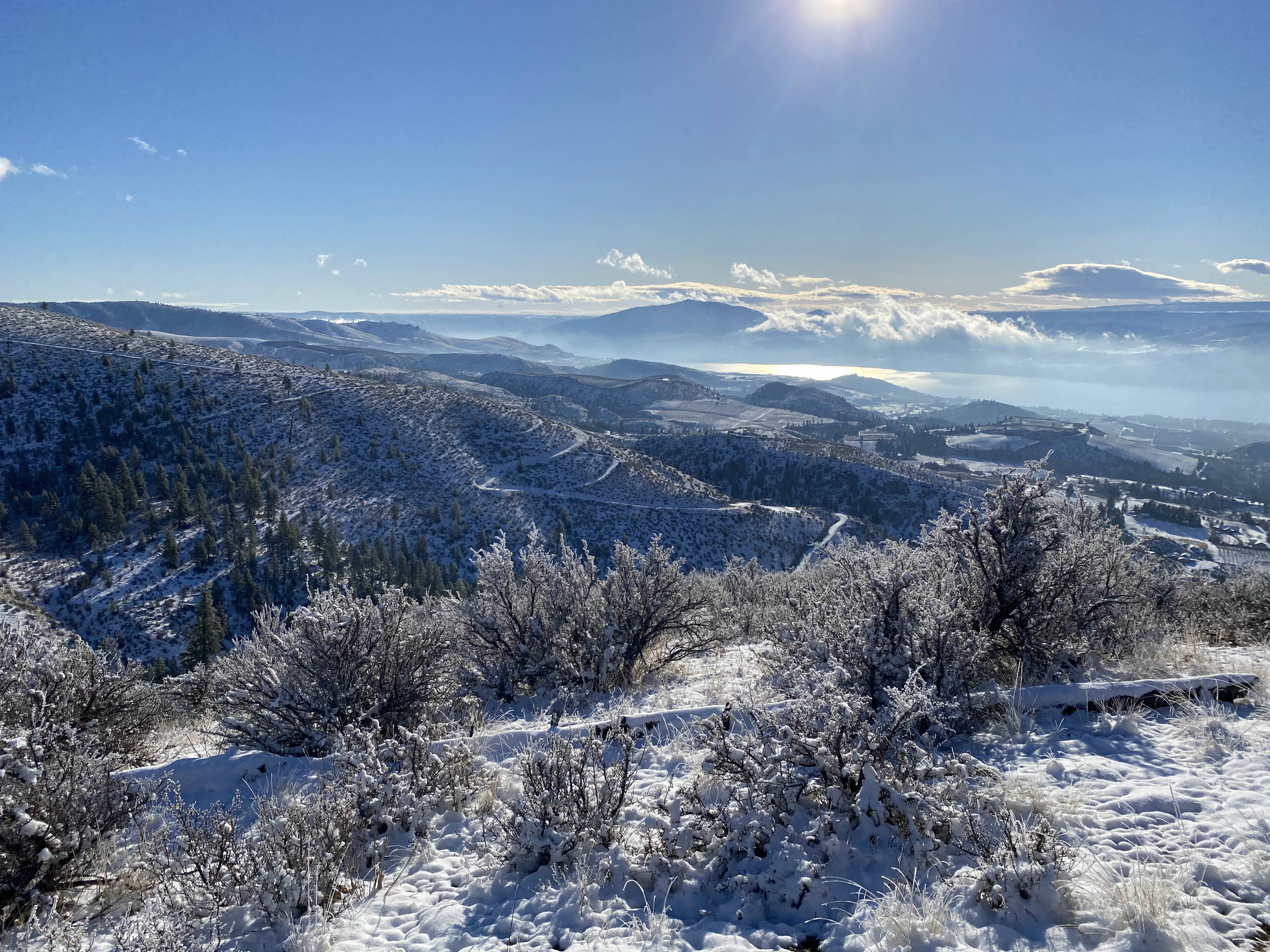
I completed the first-ever activation of Wapato Peak today (Peak 3380). Wapato Peak has no official name in the SOTA database, but several sources mention this one so it's the name that I will use.
There is no established trail, but the hike is fairly easy, with only ~800 feet of elevation gain and a 1.5-2 mile round trip. It is steep at times, but I found it manageable with trekking poles and ordinary hiking boots even with an inch of snow on the ground.
For reference, see this caltopo map with the Public Lands shading turned on.
I drove up Ivan Morse Road until it became NF-8045. Most of the route is paved, but the area past the cattleguard is pretty rough. With an inch of snow it was about at the limit of what I was comfortable with while driving an AWD crossover. Fortunately I only had to drive about a half mile on this stretch before I entered a small parcel of National Forest land. I parked in a small pullout at around (47.93144, -120.12429), shortly after entering this land.
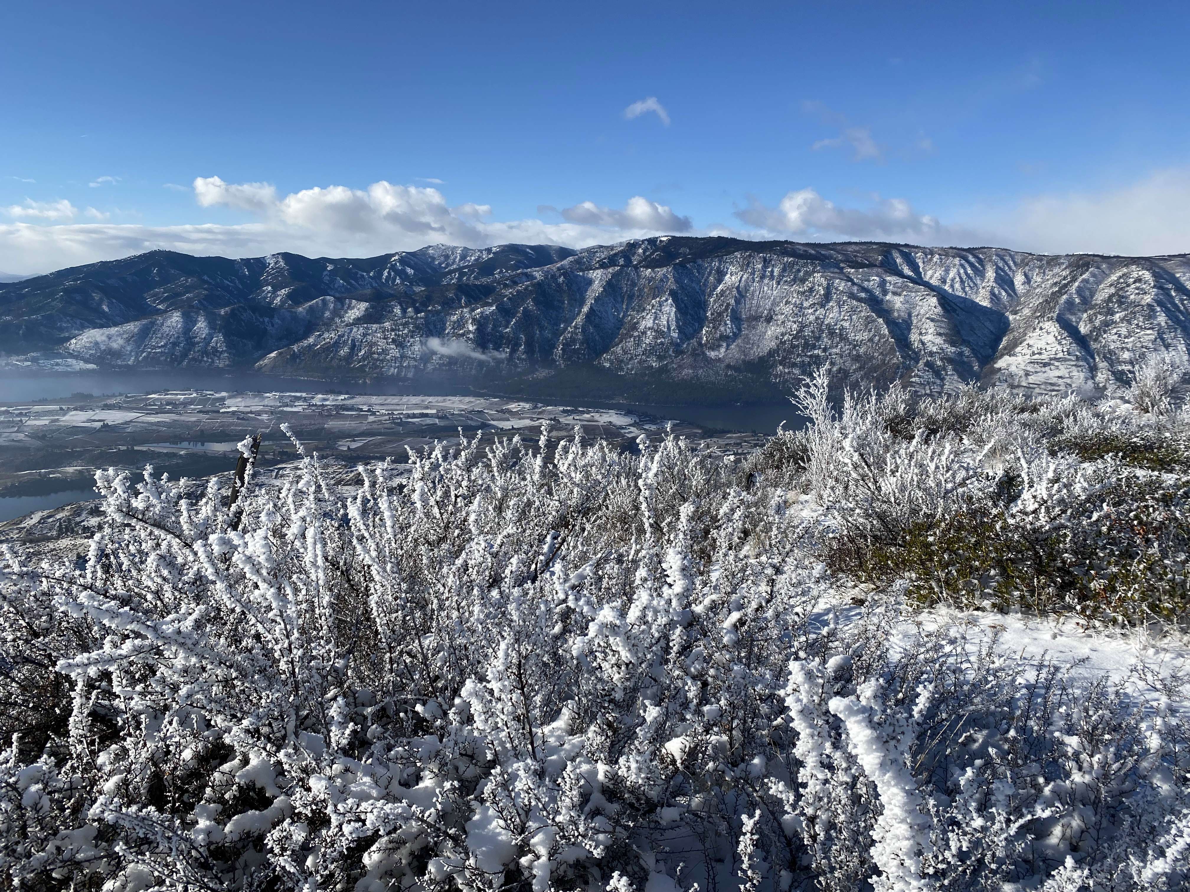
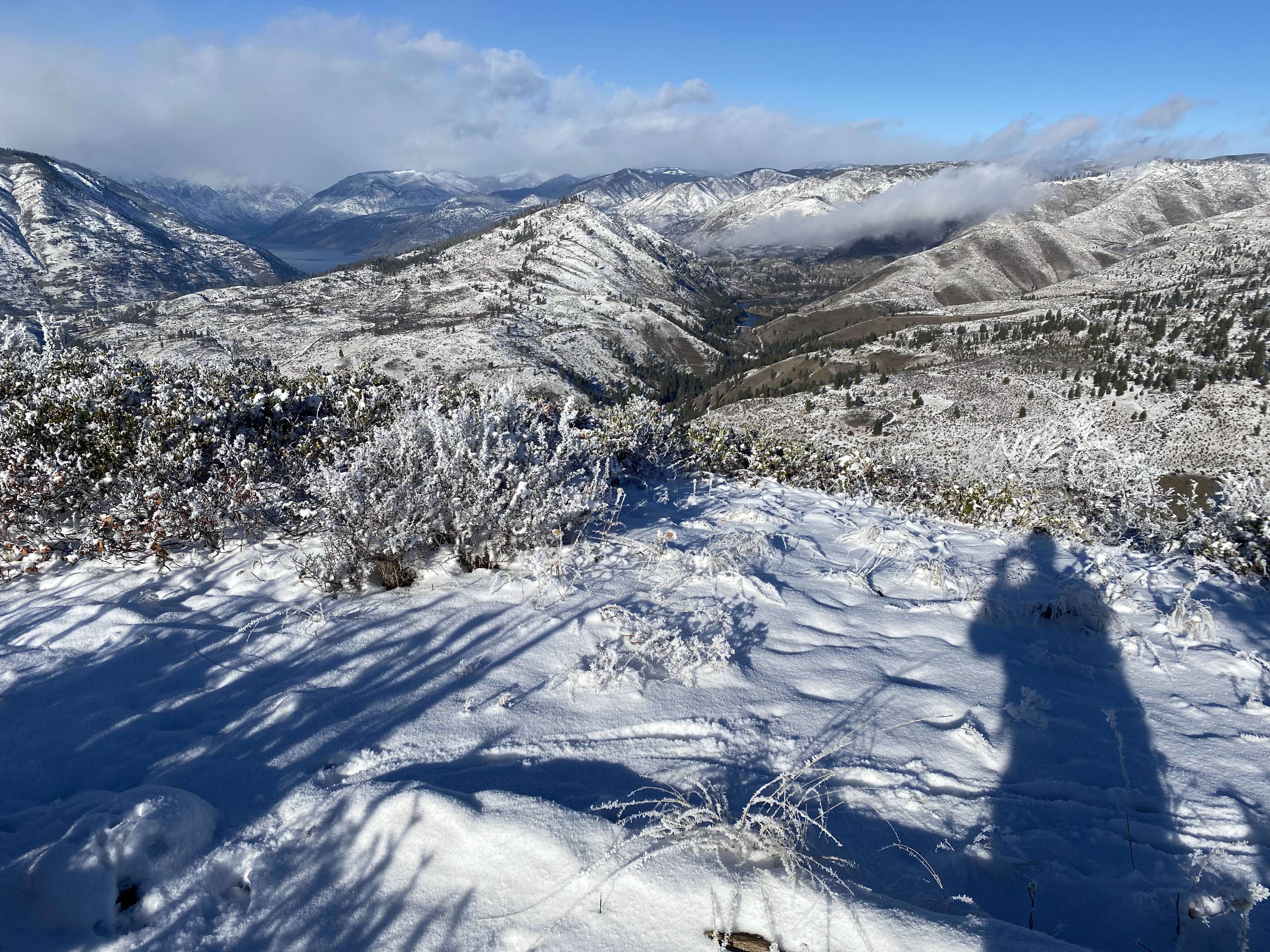
From there, I picked my way through the small gully to the west and continued uphill. Eventually I got to the western boundary of the small National Forest parcel, marked by barbed wire fence. I followed the fenceline north until I reached BLM/BOR property, then continued uphill to the summit. Routefinding is simple: just continue uphill, and you'll eventually find yourself at the summit. I followed my footprints in the snow back down, but I don't think it would be hard to find my way down without them. I think the main risk would be going too far south and finding the parcel of private property between you and the car.
The peakbagger trip report mentions an old road, which is also shown on some topographical maps. Unfortunately, the beginning of the road is gated, most of the road is on private property, and it's nearly unrecognizable as a road. I think my route is just as easy, though, and it kept me on public land the whole time.
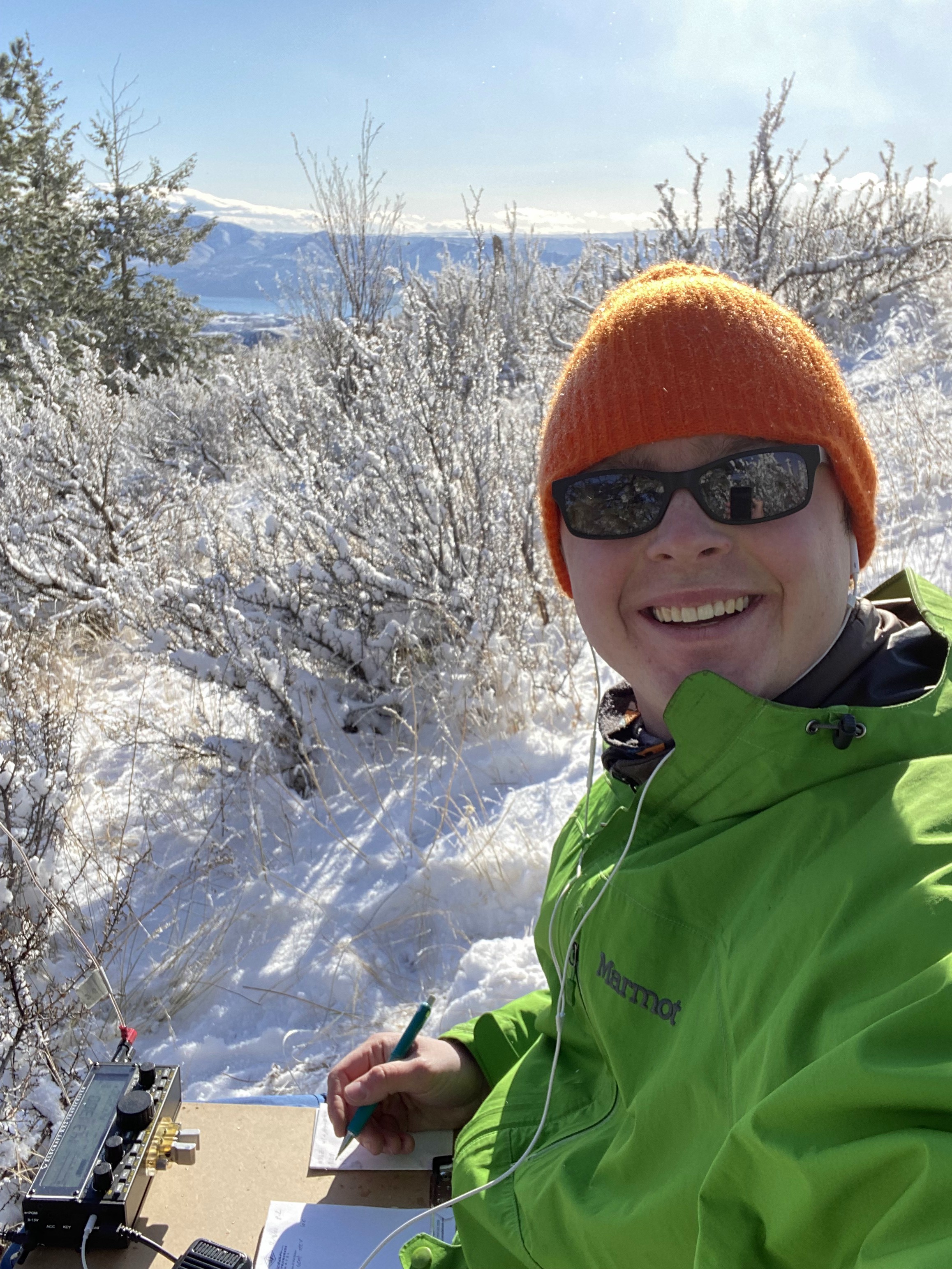
The summit is bare but there are a few trees clearly within the activation zone downhill to the east. I set up next to one of them and used it as an antenna support. After setting up I spent about 1.5 hours on the air including a couple breaks and made 39 contacts around the US on 40 SSB, 20 SSB, and 20 CW.