Bear Mountain is an easy hike with a reasonable approach. The hike is about a 4 mile round trip with around 800 feet of elevation gain.
The approach winds along Bear Mountain Road. The lower portion of the road is the most treacherous. It’s a very narrow one lane road with a steep dropoff, but it turns into a more typical forest road later on, with fairly frequent places to pull out if you encounter oncoming traffic (I didn’t). I took a crossover with AWD and had no problem, but I could have made it in a sedan without too much stress. The road was in fairly good condition without large ruts, rocks, or bumps. Google Maps provides correct directions to the place where I parked, at least from Chelan. If you are coming from the west it suggests a different route, which I have not explored. I turned onto Bear Mountain Road at (47.85206, -120.12885). If you turn onto it from 971 you may have a different experience.
I parked at (47.84919, -120.16971). There is ample space to park, at least for a low traffic area like this one. The elevation is about 2800 feet. From there, I continued on foot to the south along Forest Service Road 8550. About 500 feet along the road there is a locked Forest Service gate with a turnout where you could park.
A little bit past the gate there is an area with many no trespassing signs. Most are angled directly at the road, apparently warning against leaving the road, but a couple are angled more towards someone approaching on the road which gave me pause. I double checked the maps and found that a small portion of the road did indeed cross through private property, but I did verify that I was on a marked forest service road. I ended up calling the forest service and the person I talked to told me that I should be fine if I stayed on the road. Several peakbaggers trip reports mention these signs as well.
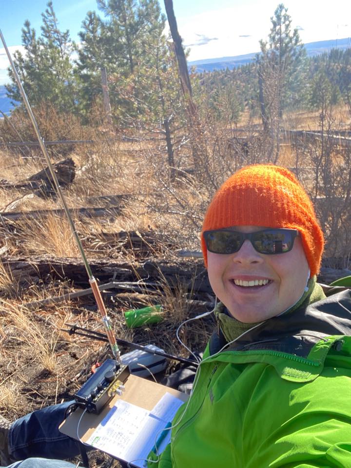
The summit is just off the road. I didn’t see any established trail but it was easy enough to find my way through the sparse forest. The summit has a few trees that could work for hoisting wire antennas, but most were too young. I wasn’t happy with the location of the larger trees, so I chose to use my Elecraft AX1 vertical with my KX2. I started on 20 m CW and made 5 contacts, then switched to 40 m CW and made 6 more, including one S2S with WW7D on W7W/CW-100. This gave me enough to activate the summit as well as the POTA park K-4531, so I packed up and headed down.