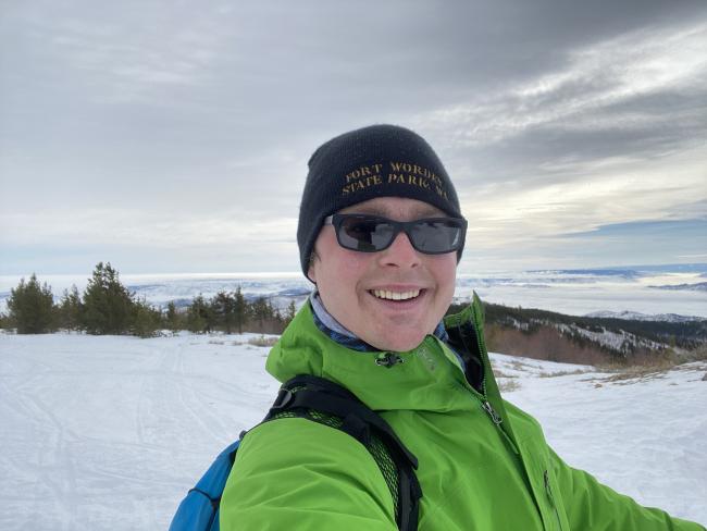
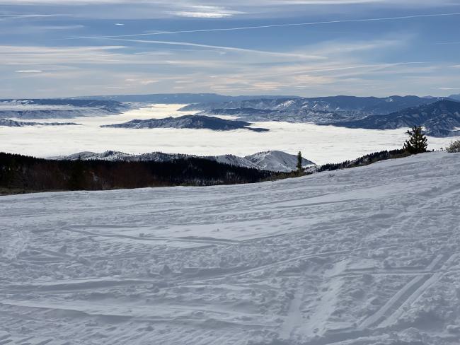
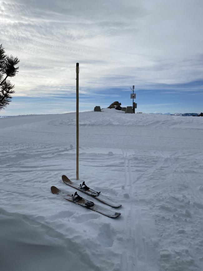
I skied up Cooper Mountain on Feb 6, 2022 for its first-ever winter activation and my first trip up it. This looks to be a drive-up summit in the summer, but winter is a very different story unless you have a snowmobile (there is a groomed snowmobile trail all the way to the summit, so that would be quite easy). However, I do not have a snowmobile, so I made the trip on my new Altai Hok 125 cm skis.
On skis, this is a strenuous adventure that deserves respect and meticulous planning. I spent a lot of time on preparation and knew pretty much what to expect throughout the route. This allowed me to keep moving efficiently from dawn until dusk with a short stop at the summit for radio. If you plan to attempt this, feel free to use the information here as a jumping-off point but make sure to do your own research as well. I am describing conditions only as they were when I made this trip.
My route was a total of 18.5 miles with about 3200 feet of elevation gain. You could shave off about a mile and a half, which I'll discuss below.
I started at the Echo Valley Sno Park (choose Echo Valley from the sidebar on the linked page for more info including grooming reports). This is part of a network of parking areas and trails maintained for winter access by Washington State. You'll need to buy a Sno Park permit from the state to park here in the winter. The Sno Park is located just north of the Echo Valley Ski Area. Getting information on what pass is needed where is a bit confusing, but I eventually learned that non-motorized passes are valid at motorized Sno Park areas and vice versa, and that non-motorized activity is allowed on groomed snowmobile trails. So, I bought a non-motorized pass.
I followed Forest Service road 8020 from there to the summit, which is what Google tells you to do if you ask for walking directions from the ski area to the summit. You can cut off the initial zig zag around the rental cabins by walking northwest from the sno park straight onto 8020. Roughly the first mile is plowed, so I had to carry my skis until the first left turn. From there, it was unmaintained until the intersection with 8021, at which point it becomes part of the groomed snowmobile trail network. Fortunately, a snowmobile had been there ahead of me until about halfway up that section, so I was only breaking trail for some of it. I encountered an icy snow drift across the road at one point, but I was able to take my skis off and navigate around it.
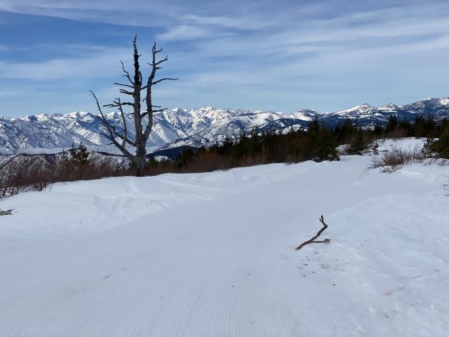
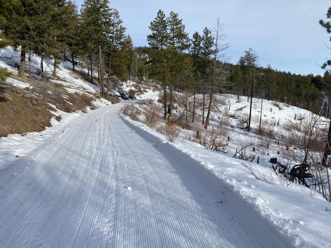
Once I reached the intersection with 8021 I continued on 8020 which at that point is part of the groomed snowmobile trail network. I turned on spur road 137 which leads to the summit. To my surprise, they even groomed this spur road.
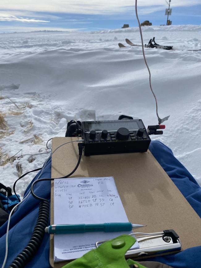
At the summit I set up my 1/4 wave 20 m vertical wire antenna with a single counterpoise. There are plenty of trees to choose from to use as antenna supports, though most are not especially tall. This antenna performed well, netting me 12 SSB contacts in 8 minutes, including one S2S. The pileup died down when somebody started up just one kHz above me, so rather than find a new frequency I decided I should probably head down the mountain. This summit is also within POTA park K-4531, so I was pleased to quickly get 10+ contacts.
After seeing how easy it was to travel on the groomed trail, I decided to follow the snowmobile trail all the way down instead of retracing my steps. This took me down road 8021 to the intersection with 8010, at which point the shortest route is to get off the road and follow the snowmobile trail down Bergman Gulch. This 1.75 mile stretch is, unfortunately, not groomed.
Choosing the snowmobile trail added about 1.5 miles, and I'm not sure it was worth it. I avoided hiking the last mile down the plowed road that I took on the ascent, but there were also a lot of flat parts which made the descent slower, as opposed to the steady grade of the route I took up. I would probably try the short route if I were to do it again, but I suspect that either way would be about the same amount of time and effort.
I left the trailhead just before sunrise and returned just after sunset. There was still enough light that I didn't have to get out my headlamp, but it was close. As soon as I took off my skis I realized I could barely walk, and I hobbled over to the car. This trip was strenuous, but I'm very happy that I pushed myself and got it done.


