A few weeks ago I had a minor toe procedure that left me out of commission and unable to hike. To slowly get back in the swing of things, KK7DS and I planned to summit Lookout Mountain (W7/LC-066) after a tip from N7AAM. This particular summit is mostly accessible by car and requires minimal hiking. As we drove along FR 43 to Lookout Mountain, I saw "D-Layer" mountain come into view on the topo map. There were no roads leading to the top, but the topo lines gave the appearance that it would be a relatively easy bushwhacking adventure over a short distance. We decided to scope it out on our way back from Lookout Mountain.
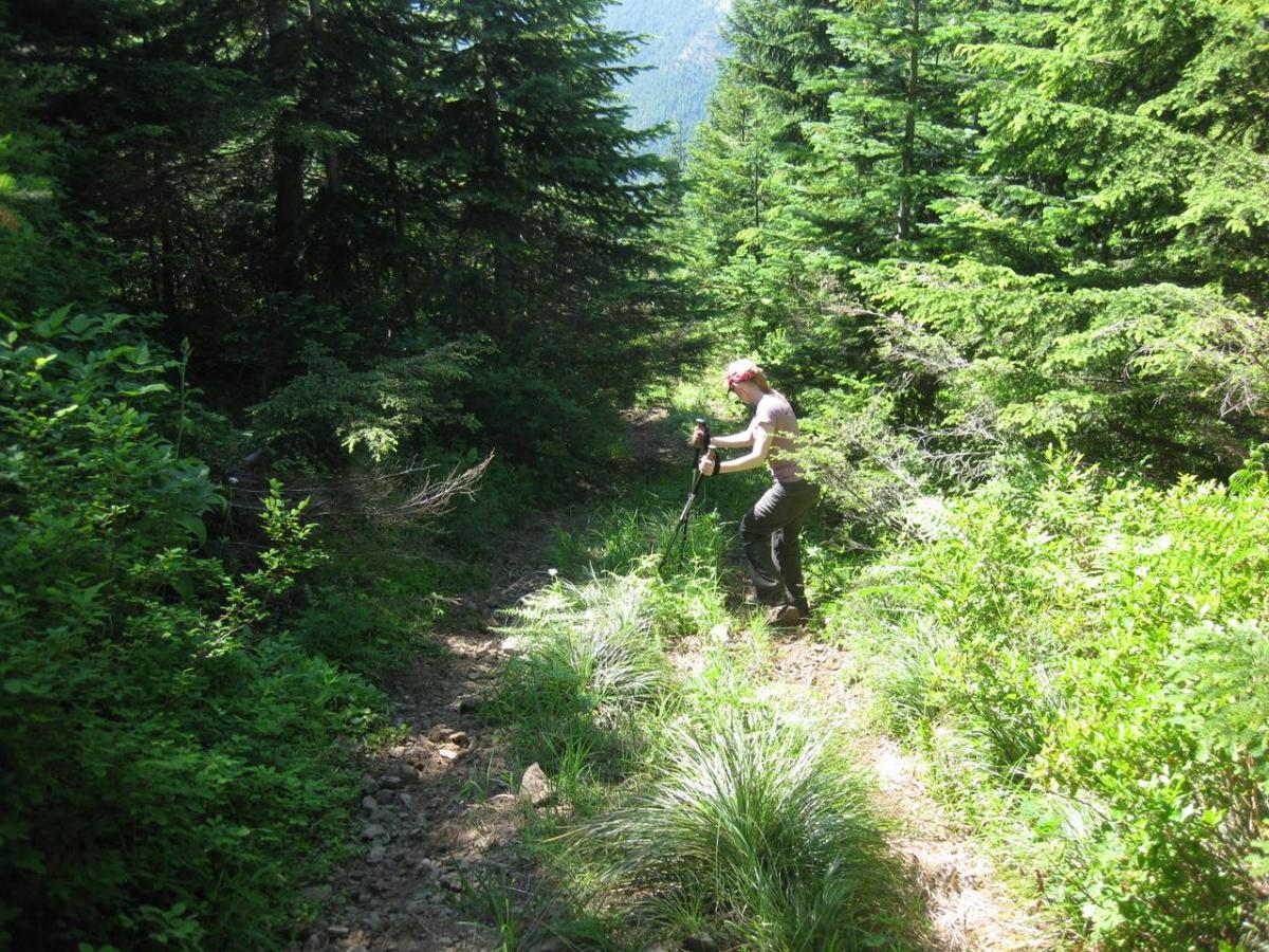
As we drove along FR 4220 around the base of D-Layer Mountain to determine the best entry point, we noticed a steep and overgrown jeep trail heading in the general direction of the summit. The trail was not on the topo map, but we parked at the base of it and decided to follow it on foot to see where it led. After climbing 1/3 of a mile and 300 ft of gain, the jeep trail ended in a small clearing. We continued on by bushwhacking through the dense forest and following some game trails until the GPS showed us at the top. We found a small clearing within the activation zone and setup there.
We didn't have an alert scheduled since we hadn't initially planned on doing this summit. However, Dan was able to spot us via APRS and the chasers showed up immediately. On the previous summit we talked to Randy, ND0C, who was one of the first to catch us here. He stuck around to work both of us and then helped relay to NS7P who we couldn't hear. It sure is nice to have dedicated chasers watching over us and helping with the logistics!