A month and a half ago, Dan (KK7DS) and I attempted Silver Star Mountain on snowshoes from the north side. Sadly, we never made it to the summit due to strong gusts of wind that nearly blew me off the moutain :) Yesterday, we decided to approach it from the south side following the Grouse Vista Trail, a 6-mile roundtrip hike (here's a link to our GPS track). Our hope was that most of the snow would have melted since our last unsuccessful attempt.
Most of the first mile was a steep, rocky climb shaded by forest. Soon after the trail flattened out, we emerged from the forest and onto a ledge where the fog was thick. To the east were rock formations but the dense fog to the west hindered any view. The trillium were in bloom and we encountered an occasional patch of snow. As the elevation increased and we returned to the forest, we ran into a blanket of snow and soon realized the trail would be covered the rest of the way. We navigated through the snow, over fallen and bent over trees and shrubs trying our best not to sink in. 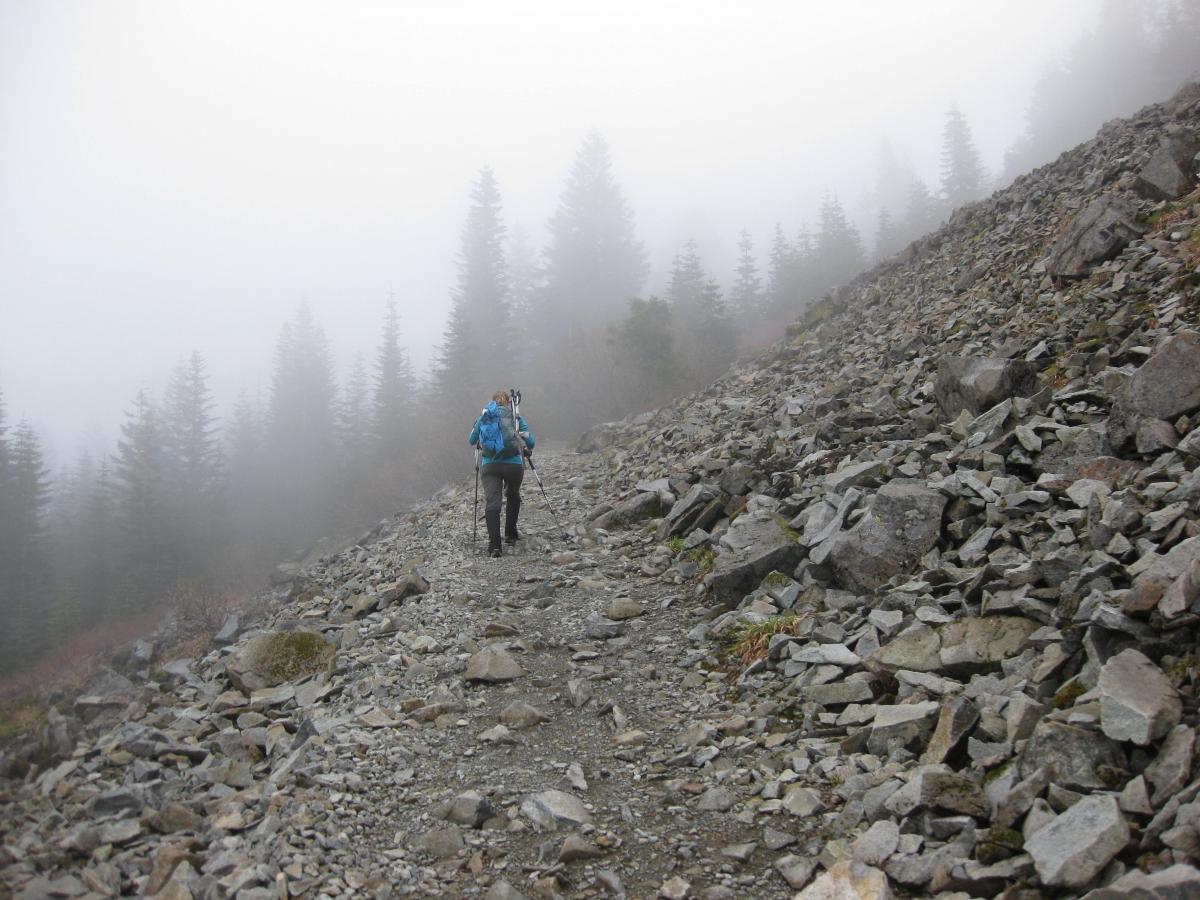
As we trudged onwards for the final ascent, we noticed fresh hoof prints in the snow alongside boot prints. Realizing it wasn't a wild animal, we speculated what it could be and were reminded of WG0AT's faithful hiking companions, Rooster and Peanut. At the top of the saddle, the snow was completely melted and we followed the dry, rocky path towards the summit. As we rounded the final bend, we could hear faint voices mixed with an occasional cow bell. That's when we saw two guys with their yak getting ready to depart! We snapped a quick photo as they headed down. 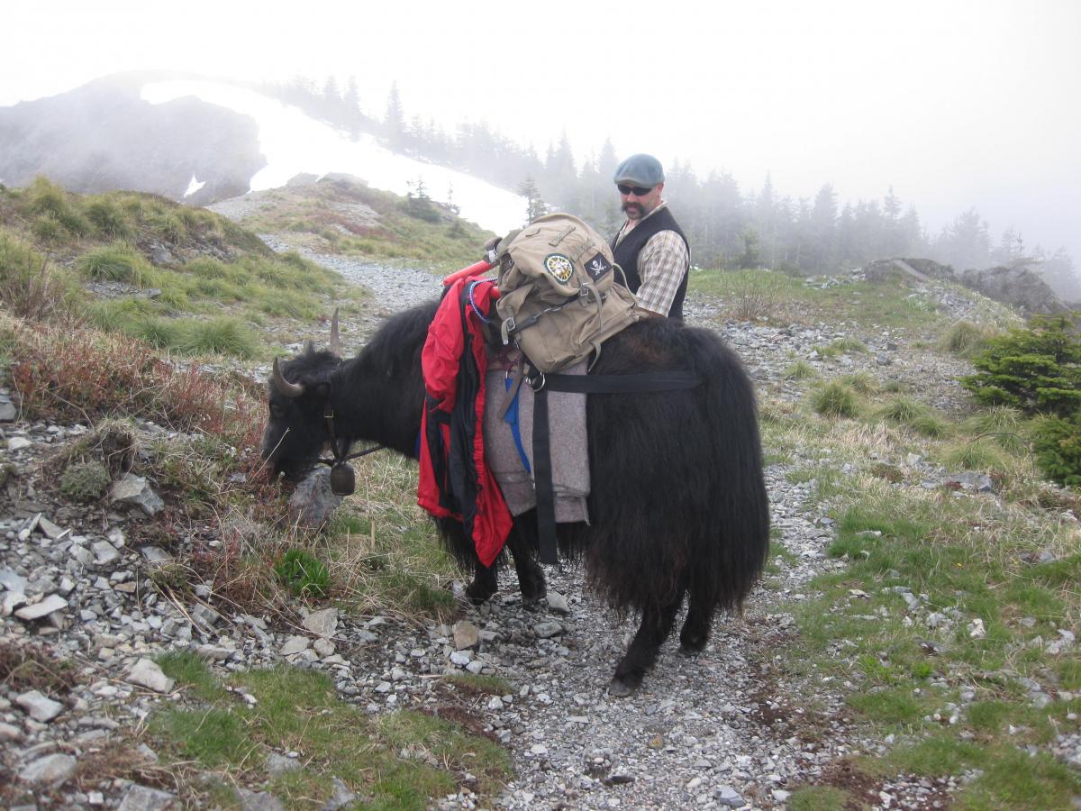
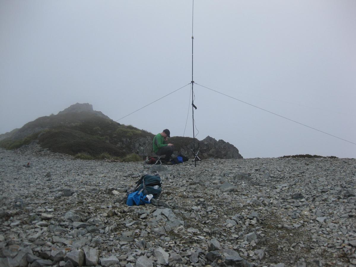
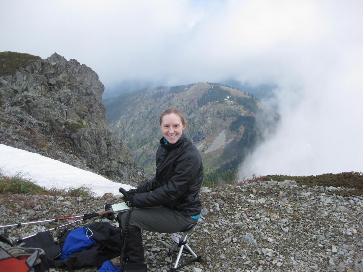
The summit contained remnants of an old lookout tower. The fog lifted a little but unfortunately not enough to see Mt. Adams, Mt. Hood, Mt. Rainier, and Mt. St. Helens that would be visible on a clear day. We setup our gear just below the true summit on a flatter part and made contacts as far away as the east coast and eastern Canada. If the snow hadn't been there to slow down our hike, we would have continued another 1.5 miles to Discrimator Peak. We'll save that one for another time when the snow has melted.