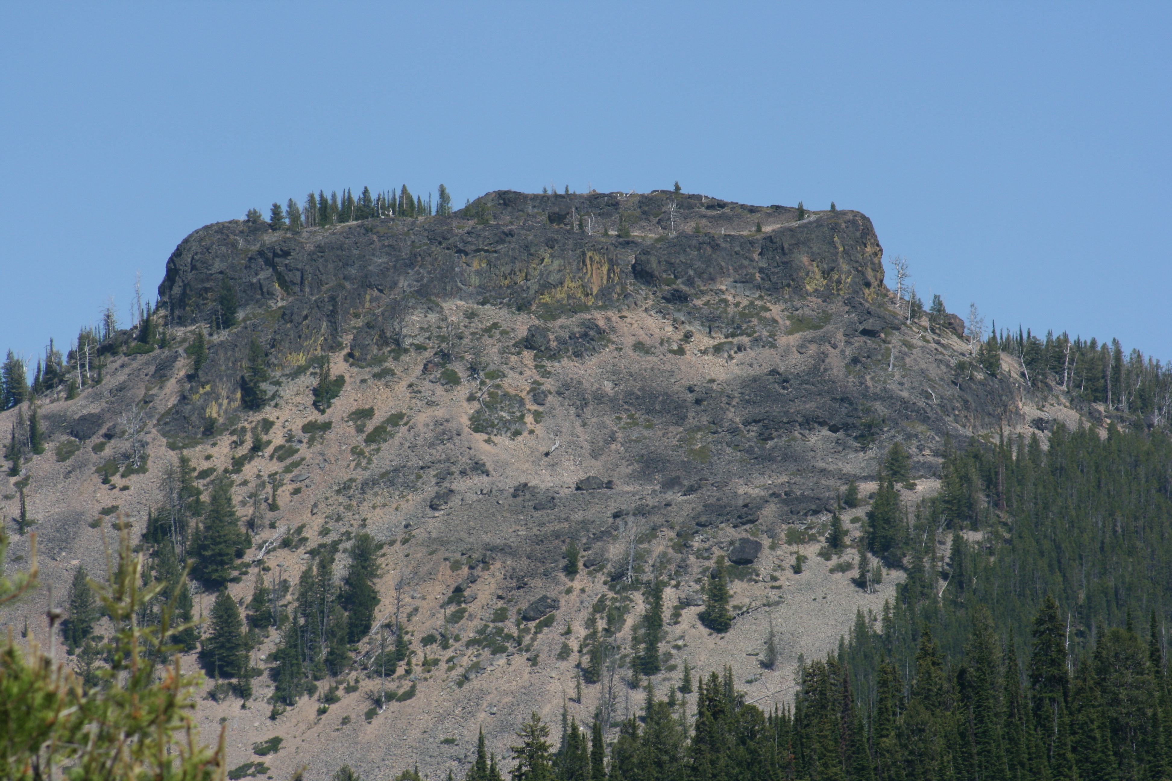
Castle Rock is a popular hike from Nez Perce Pass on the Bitterroot National Forest. It can also be accessed from a trailhead near Bare Cone Lookout to the east. Both routes are about the same distance and terrain. The last 200 feet is a scramble to the summit over loose rock and bedrock from either a notch in the cliffs on the west side or more open loose rock routes on the east side. Most folks will be using both hands and feet on this one. Summit views are tremendous to the north where you’ll be looking into the rugged southern mountains of the Selway Bitterroot Wilderness Area. The trail is on the historic southern route of the Nez Perce people, access to hunting bison on the vast Montana plains to the east.
Trail miles: 2.6 one way. Elevation gain: from west trailhead mostly climbing, 1100’ from Nez Perce Pass. From east trailhead, down over 500’ then up nearly 1000’ from the Bare Cone LO trailhead. Map: Bitterroot National Forest, South Map.
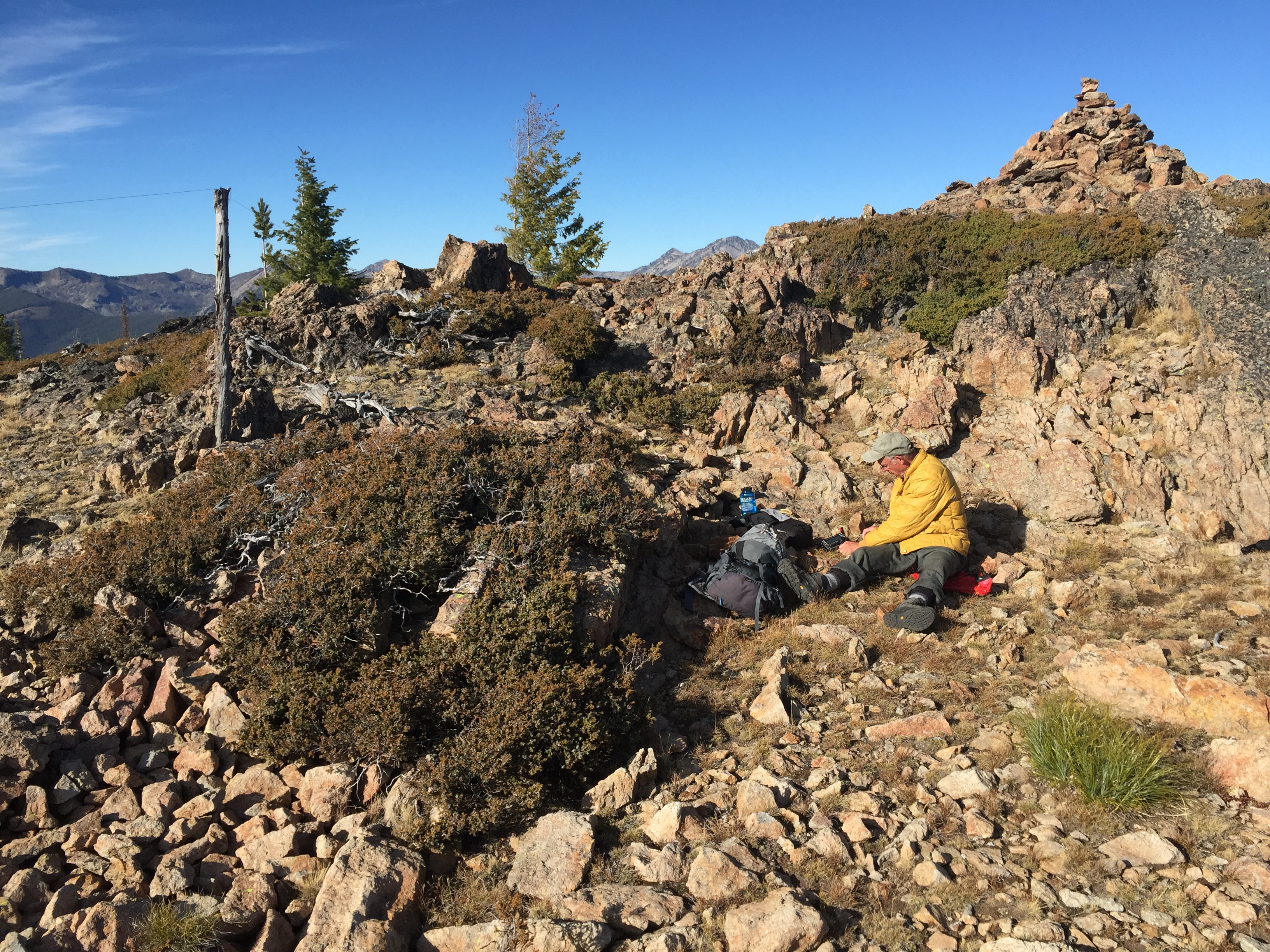
Considering which way to access the summit may depend on your next destination. Bare Cone Lookout near the east trailhead is also a SOTA summit, RC-110. There are a couple of snags and live trees on the summit for wire antennas or there are lots of open rock for other antenna configurations. The summit is a rarer grid square, DN25.
Directions: Access from the East trail: South of Darby leave highway #93 and go up the West Fork Bitterroot Road. This road is paved and well delineated. Travel southwest on this road for approximately 21 miles. Upon reaching Painted Rocks reservoir, cross the dam and continue along the west side of the reservoir and up the Blue Joint road #362 for approximately 3 miles. Turn North onto US Forest Service road #1303. Continue up this road for approximately 9 miles to the signed Castle Rock is trailhead. An additional 2 miles up the road ends at the Bare Cone Lookout.
Access from the West trail: South of Darby leave highway #93 and go up the West Fork Bitterroot Road for approximately 14 miles. Turn right, west onto the Nez Perce Fork road. Continue up that road for approximately 16 miles to Nez Perce Pass. Here there is a large paved parking area and a non-parking helicopter landing area. The Castle Rock trailhead to the south is well marked.