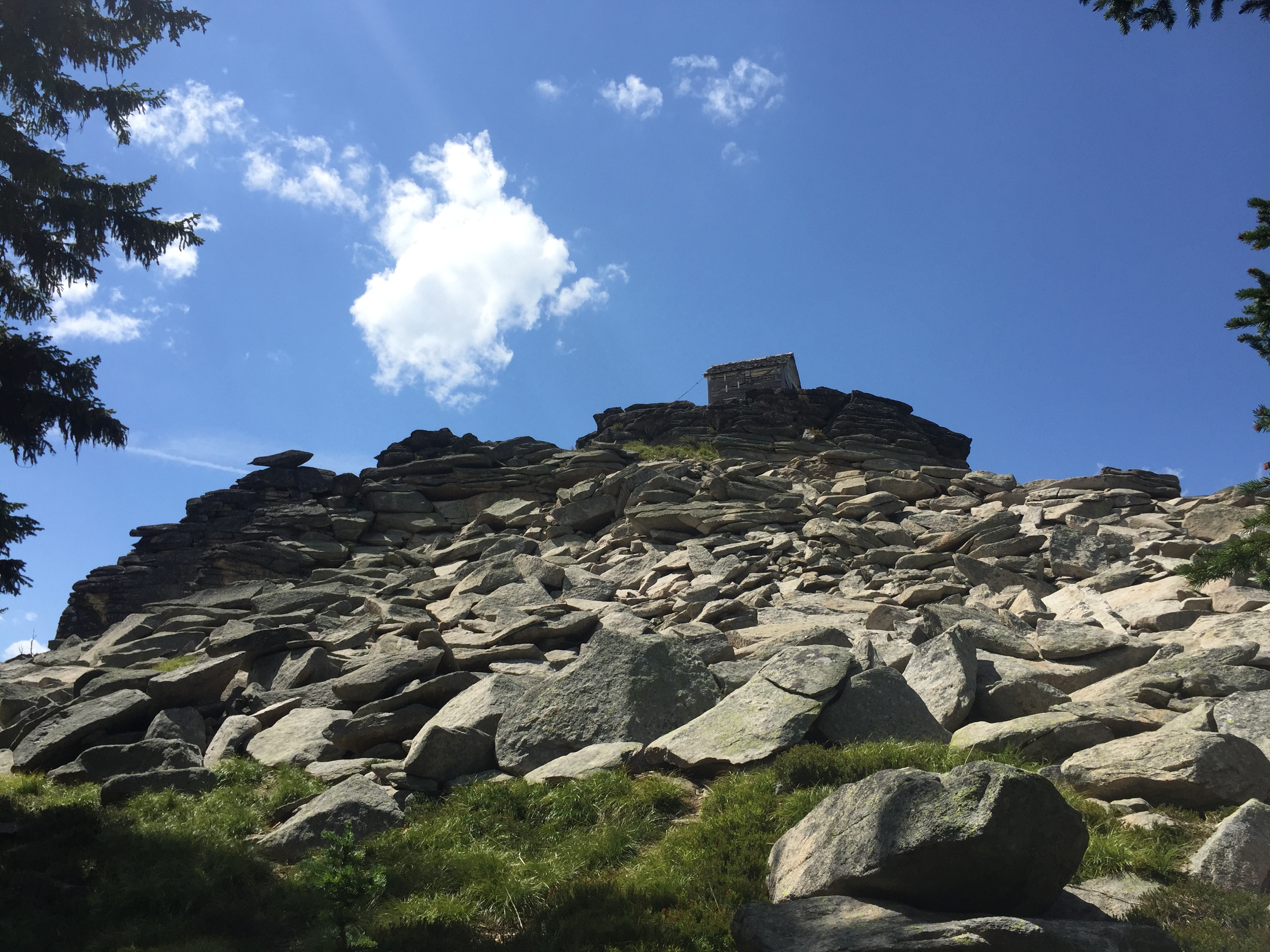
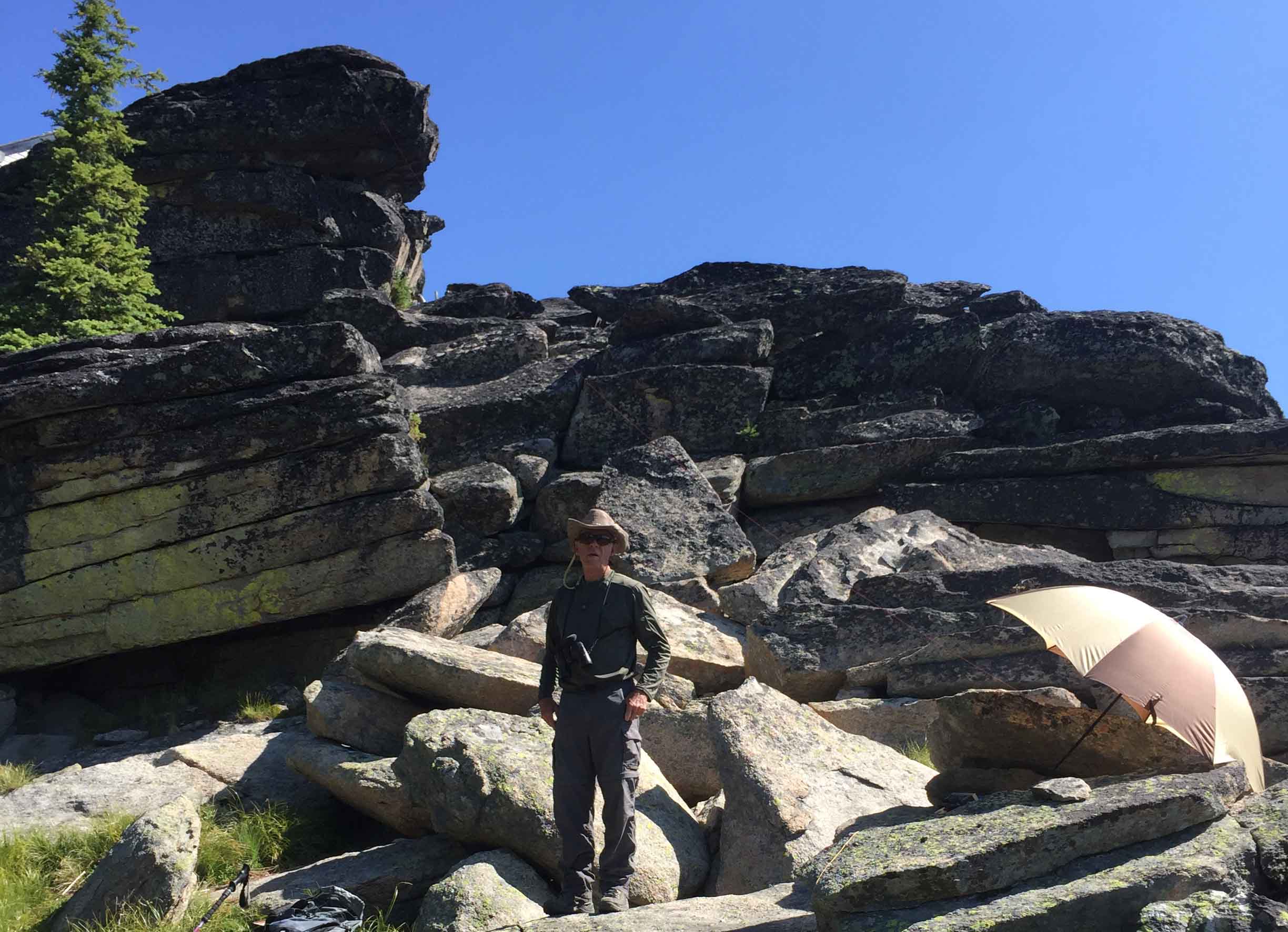
Skookum Butte is an old US Forest Service lookout at 7215’ on the Idaho/Montana border. The summit and lookout rests on massive granite boulders. Not having enough room at the lookout to secure our long wire antenna, K7PX Steve secured one end of the End Feed Long Wire to the top boulder, pitched the other end over the cliff and operated the antenna from below as a sloper. The lookout offers a fine view of the northeast end of the Selway Bitterroot Wilderness.
Trail Miles: 1.25 Miles one way. Elevation Gain: 1200’. Difficulty: Easy good climbing trail with a 200’ narrow rock path to the summit lookout. Map: US Forest Service Clearwater National Forest or Lolo National Forest.
Directions: From Lolo Montana head west on highway #12 for approximately 10 to the Elk Meadows road. This road, FS #451 travels south mostly along the ridge dividing the South Fork of Lolo Creek and West Fork Butte Creek. After traveling approximately 9.75 miles and crossing into Idaho a third of a mile take road #37313 to the right, west to the trail head.
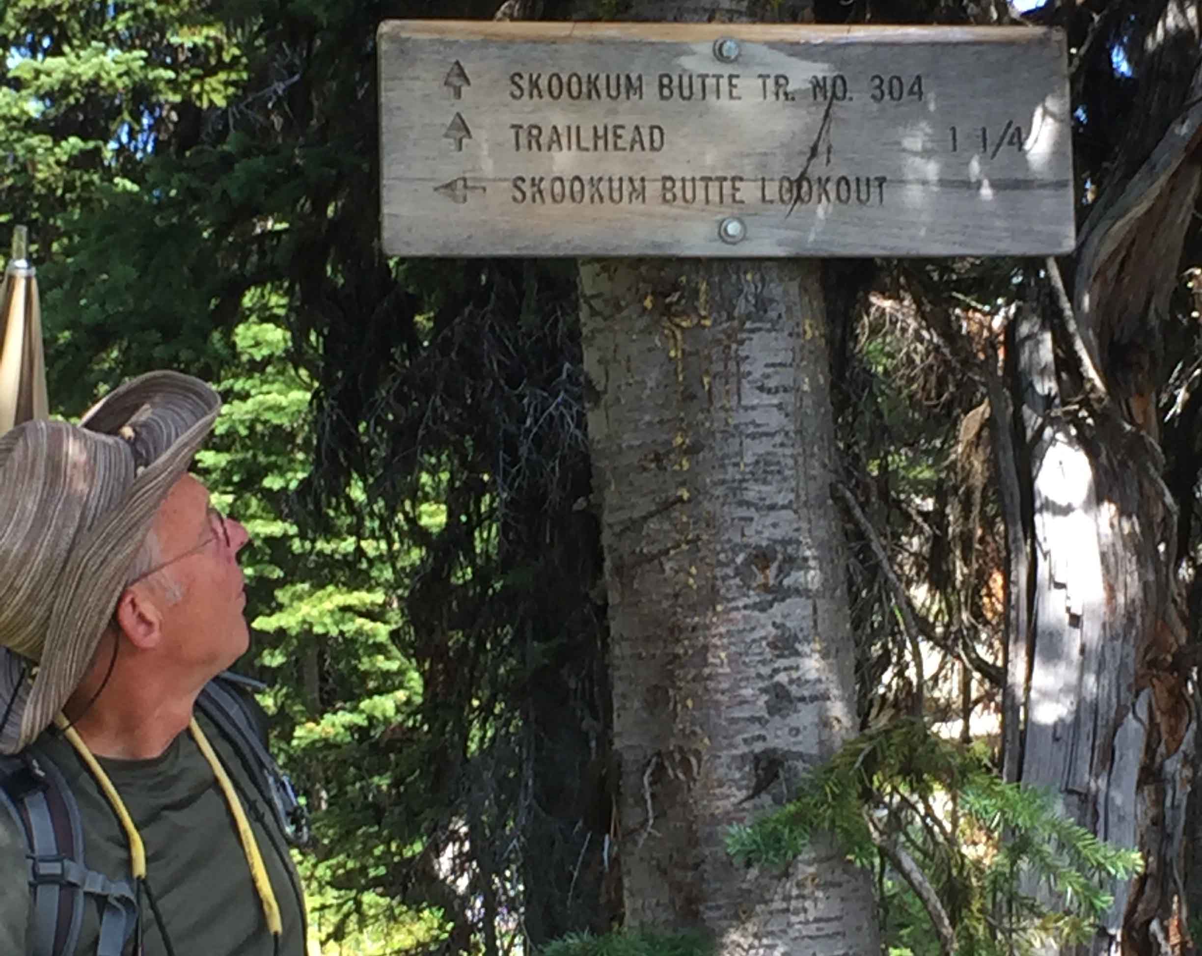
The trailhead is well signed, Trail NRT #304. This good easy trail is mostly forested but does drop through an old Plum Creek timber harvest into a small drainage and climbs up through the timber harvest unit before reentering dense subalpine fir/spruce forest. A little over half the route is in dense forest cover. This is prime moose habitat.
Skookum Butte lookout is in tough shape and without restoration will be unsafe to enter in the future. The access road is good and negotiable by a sedan. There is good parking at the trailhead. There is not much room for horizontal antennas directly on the summit, <35’. Securing one end on the summit and throwing the other end over the cliff is a good option. See photo.