We began our route from the west at the North Fork Blackfoot trailhead. Reaching the summit from here involves fording the North Fork of the Blackfoot River which can typically be accomplished in the later summer or the fall season. The other route is to go up the Bear Lake Trail and jump across a few small streams.
Directions: Travel approximately 6 miles east of Ovando, Montana on Highway #200. Turn North off the Highway #200 onto the Kleinschmidt Road toward the North Fork Blackfoot River. Follow the trailhead signs to the end of the road approximately 11 miles. Road is open until closed by snowfall. Dispersed camping is available at the trailhead, but no potable water. Stream water is available on much of the route with filtering recommended.
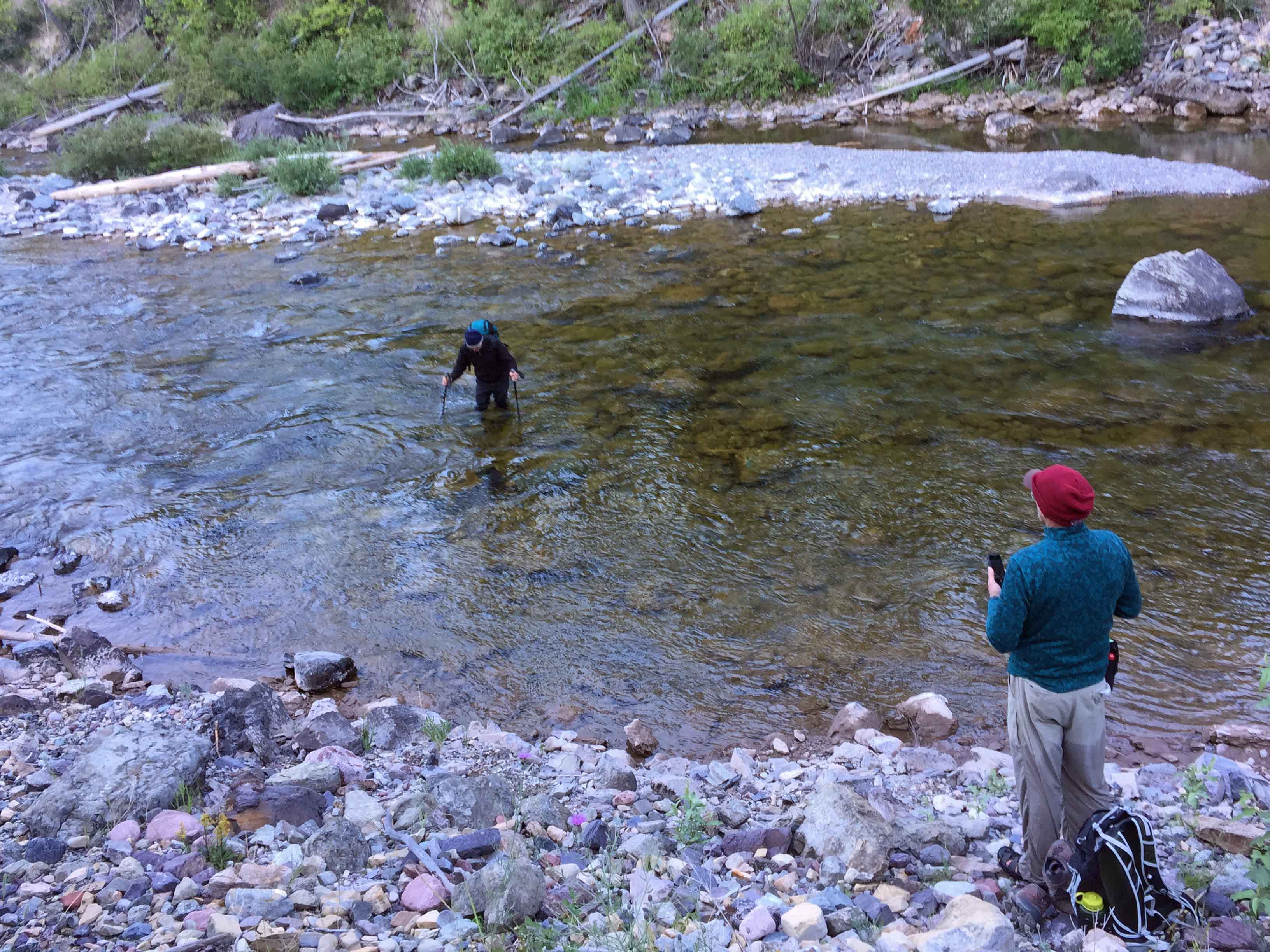
From the trailhead follow the Hobnail Tom trail for nearly 0.75 miles. Just beyond the junction of the Outfitter camp trail 200 feet up the main trail follow an unmarked trail to the right, east which drops down to the North Fork Blackfoot River at a low water ford. Cross the river. Caution, the river runs very clear and deceptive to depth. Hiking poles and sure footing are recommended.
Proceed up the steep bank and continue on what is now the Bear Creek - McDermott Trail. Follow this trail up and over a small pass, 300 feet elevation gain, and down into McDermott Creek for approximately 2.25 miles. Turn uphill left onto the Windy Pass trail. Continue up that trail for approximately 2.75 miles.
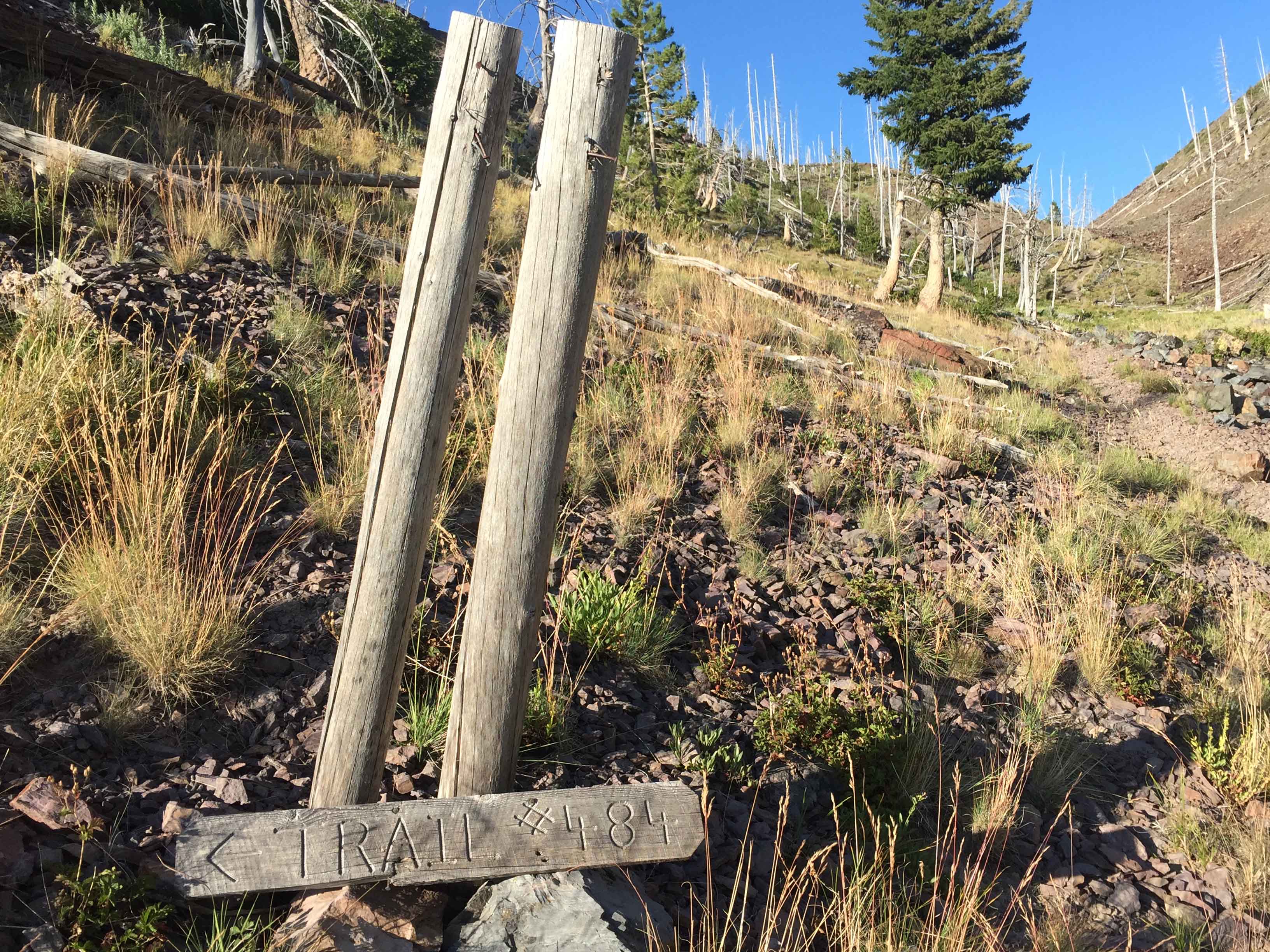
Less than 0.25 mile from Windy Pass a trail takes off to the north, climbing with a switch back and rises above Windy Pass. An old sign lying on the ground numbers this trail 484. This trail leaves the windy pass trail at about 6830’. This is a good trail to use to head around the east side of Mineral Hill. It’s an easy hiking trail with a few down logs and boggy areas where the trail is easily lost. The trail is visible as it crosses ridges. Continue on this trail for approximately 1.5 miles, just beyond a shallow lake. Here intersect the main east running ridge from the summit. Up this ridge is a good 0.25 mile scramble to the summit.
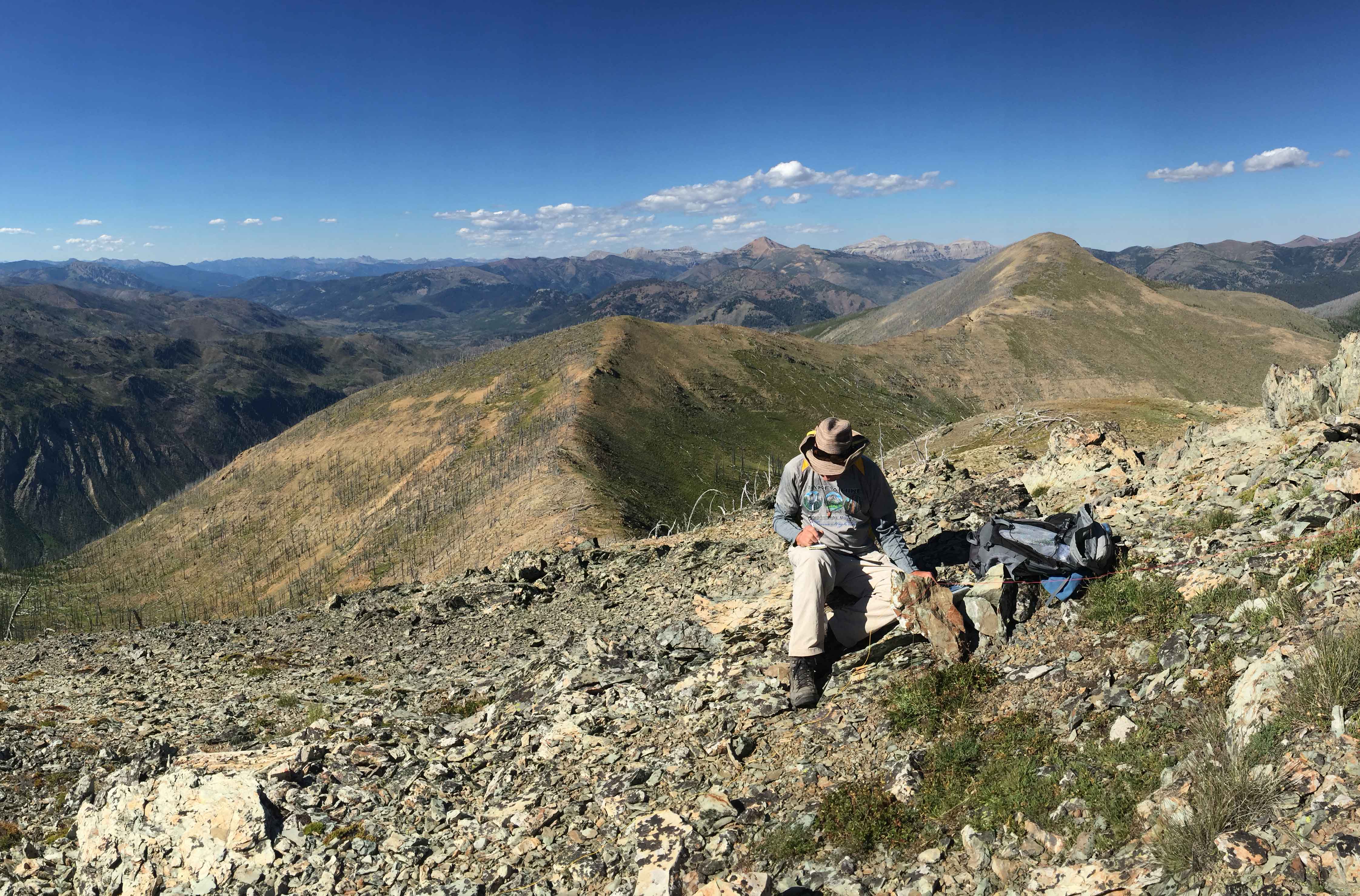
The summit is open and rocky with no trees. I used the rock cairn on the summit to attach my fiberglass pole for the antenna. Take time to soak up the outstanding view.
Commonly seen mammals: Mule deer, Elk, Columbian ground squirrels, Red squirrels, Re-tailed chipmunks, & Pica. Uncommon are black and grizzly bears, and wolverine.
Other features: Snow fields on upper slopes are common throughout most of normal years as are small springs and streams.