This is an easily accessible summit in the southern end of the East Pioneer Mountains. Getting there follows the Wise River/Pioneer Mountains Scenic Byway. This truly scenic route is much like driving through Yellowstone National Park’s mountains and lodgepole pine forests, and meadows, but absent the geysers, mud pots, and bison. The mountains are closer and more rugged and cattle instead of bison are scattered in summer throughout the forest and meadows. There are many well maintained campgrounds along the route.
Off the paved byway is an approximate 3 miles of native surface road leading to a Jeep road miles: 1.6 one way; a Non-trail Hike: 0.5 mile one way Elevation gain: minimum 800’, maximum 1700’ (hike the mining road/jeep road) Map: Beaverhead/Deerlodge National Forest, South map
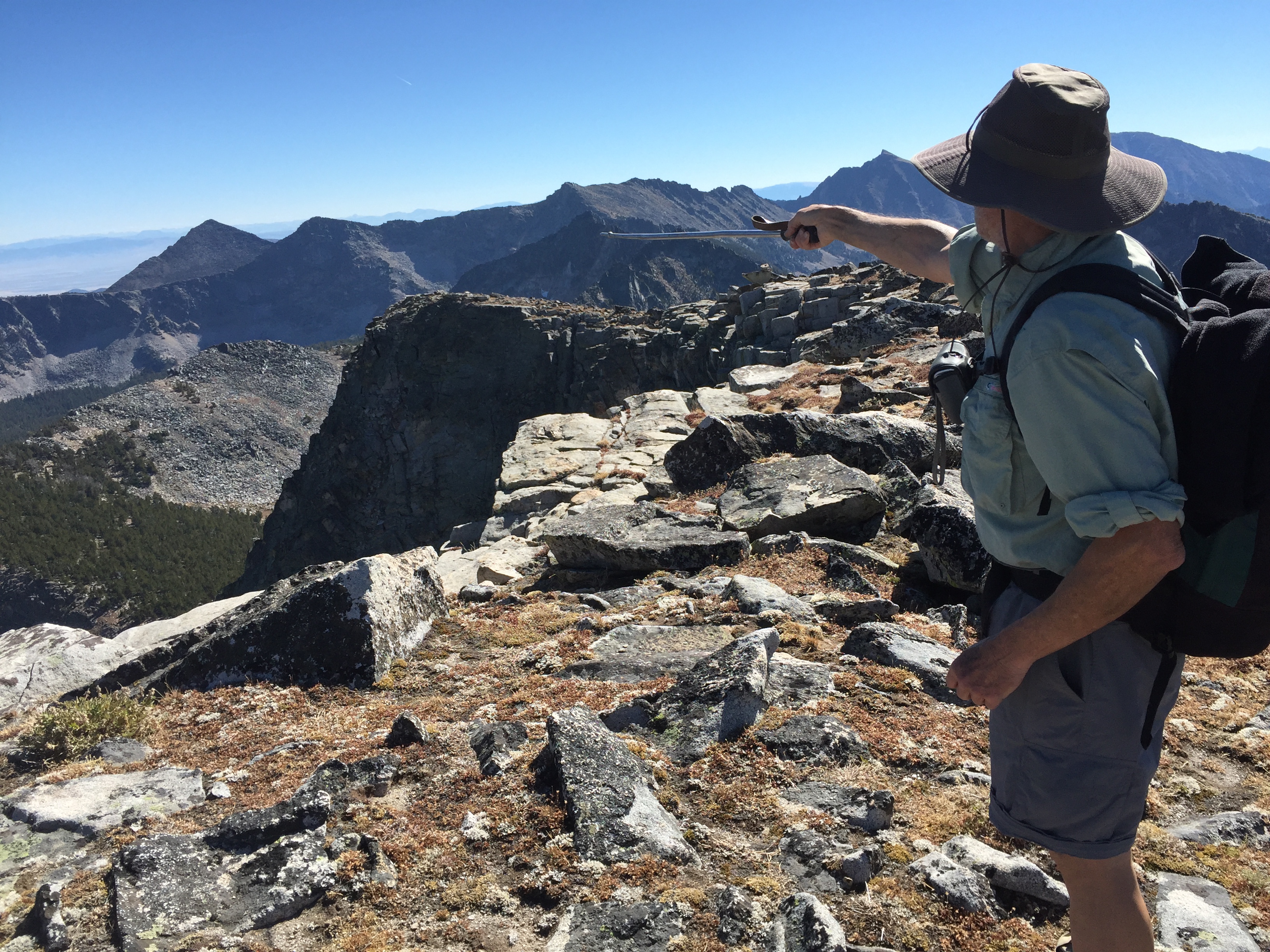
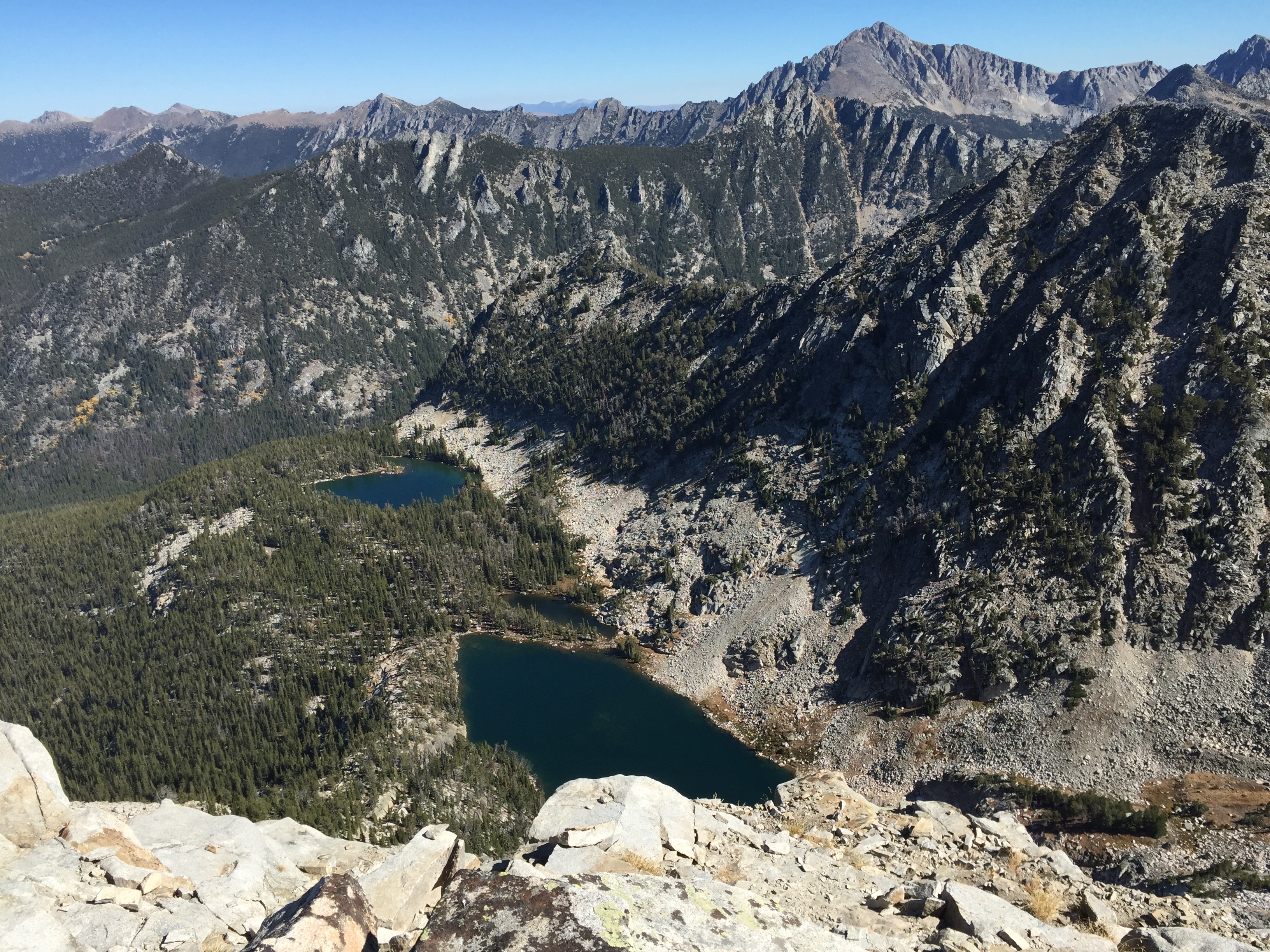
Comet Mountain is a large rocky slope to the west, but breaking into steep cliffs and cirque basins with fish packed lakes on the east slope. The hike and summit offer spectacular views of both the East and West Pioneer Mountains, The West Bighole Mountains and the Anaconda Pintler Wilderness Area. Several lakes are visible from the summit, jaw dropping higher SOTA summits and an occasional mountain goat.
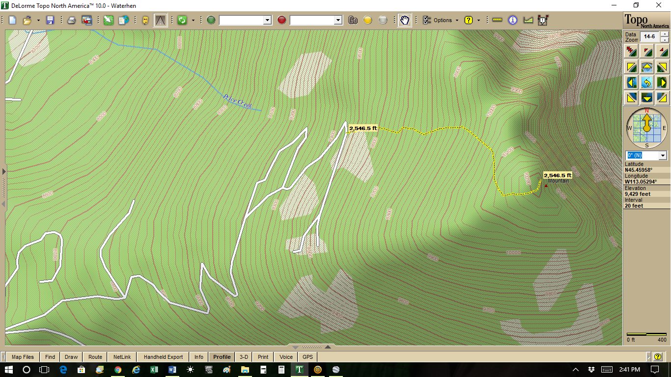
The hike follows an old, steep and deeply eroded mining road for all but the last half-mile. Following this mining road to its end leads one into a large boulder field that must traversed to reach the summit. The better route is to follow a sparse stringer of limber pine from the last swichback in the mining road to the summit (see map below).
Directions: From Wise River, Montana on highway #43 turn south onto the Wise River/Pioneer Mountains Scenic Byway. Continue on this paved road for approximately 35 miles. Exit the Wise River/Pioneer Mountains Scenic Byway at the Price Creek Campground, on the left, east. Then instead of going into the Price Creek campground, stay right onto the Comet Ridge Road. It is signed. Follow this road for approximately 0.8 mile and take the right hand turn continuing on the Comet Ridge Road. Continue on this road for approximately 2 miles to a “T” junction. Park or continue to the left up deteriorating mining road. It is a high clearance narrow road (some say Jeep or 4x4 road) that deteriorates the farther one travels up it.
Drive as far as you feel comfortable and pull out in the many ‘in the trees’ parking spots. The mining road is 1.6 miles to the last switchback, the preferred starting point of the off road hike to the summit of Comet. It is best to begin about .25 miles from the far end of the mining road at this last switchback.
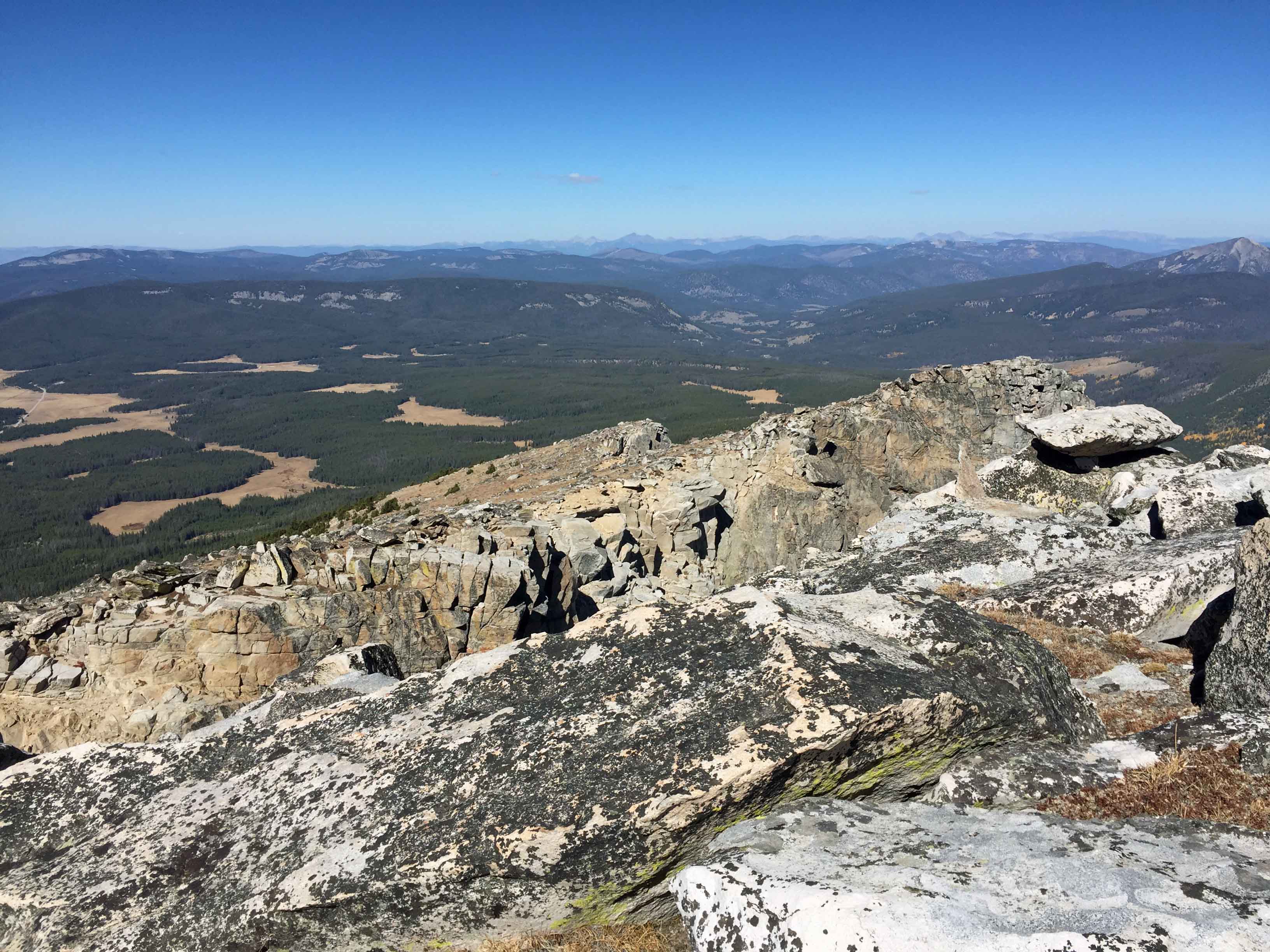
If you go to the end of the road, a large boulder field must be crossed to reach the summit. See photo. The better way is to follow from the switchback a stringer of scattered whitebark pine trees that nearly goes to the summit.