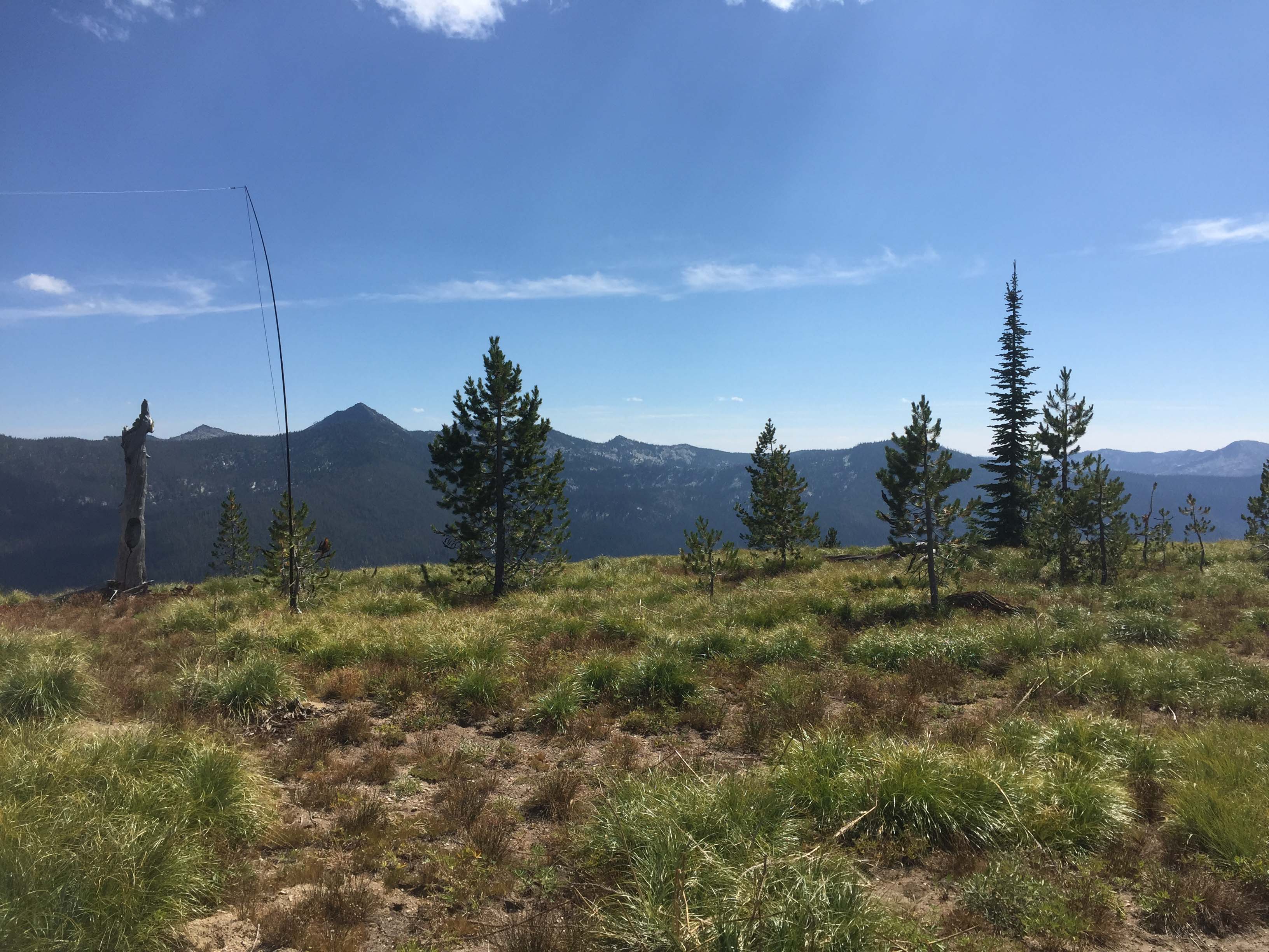
Having hiked 2.5 miles to a saddle you might as well activate both close summits to the north and south, W7I/IC-139 & 167. These summits require a bit of somewhat steep scramble through open subalpine vegetation and open ground after the trail hike. Views from each summit are similar and overlook undeveloped wild forest area and the Selway Bitterroot Wilderness.
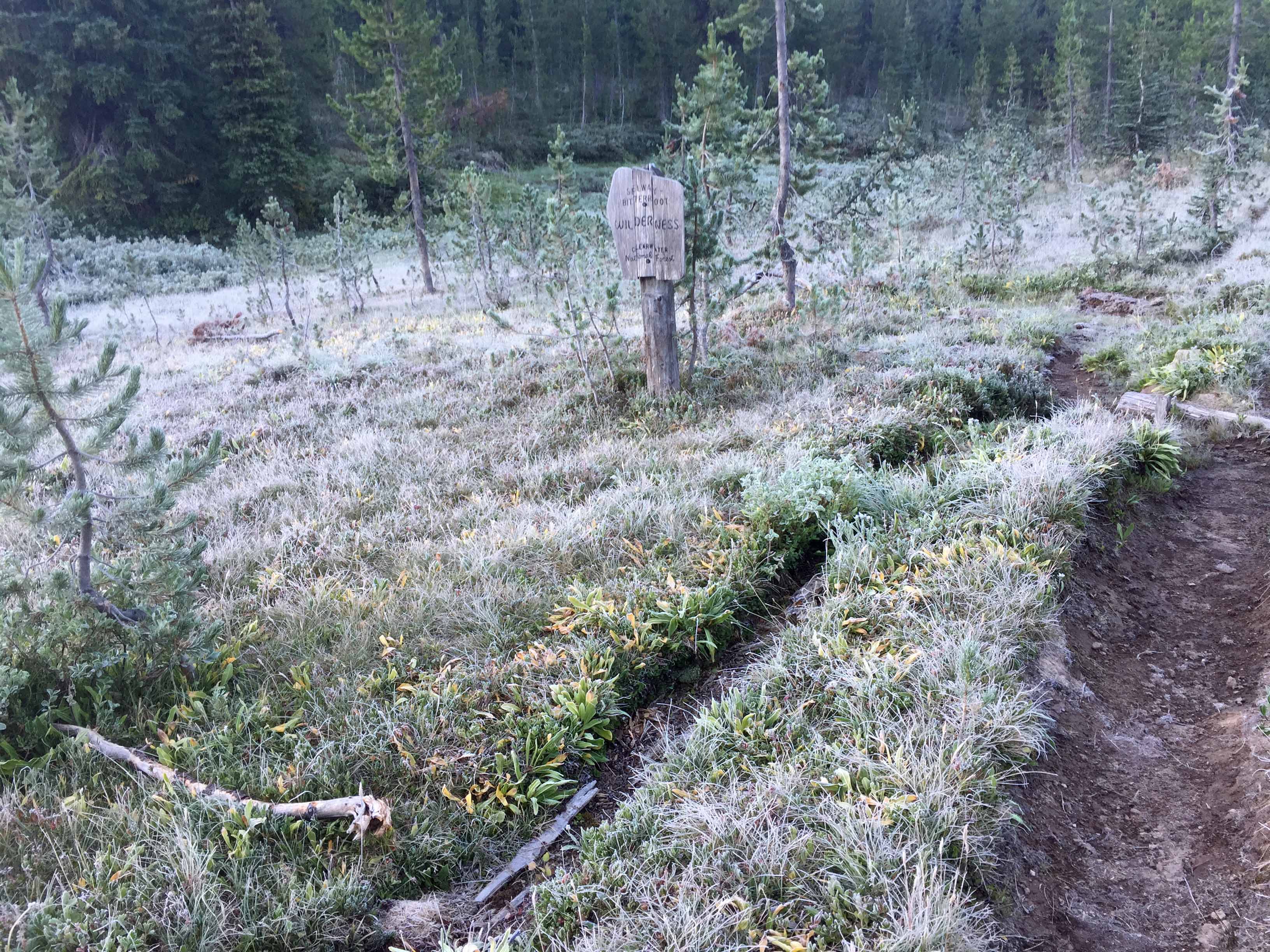
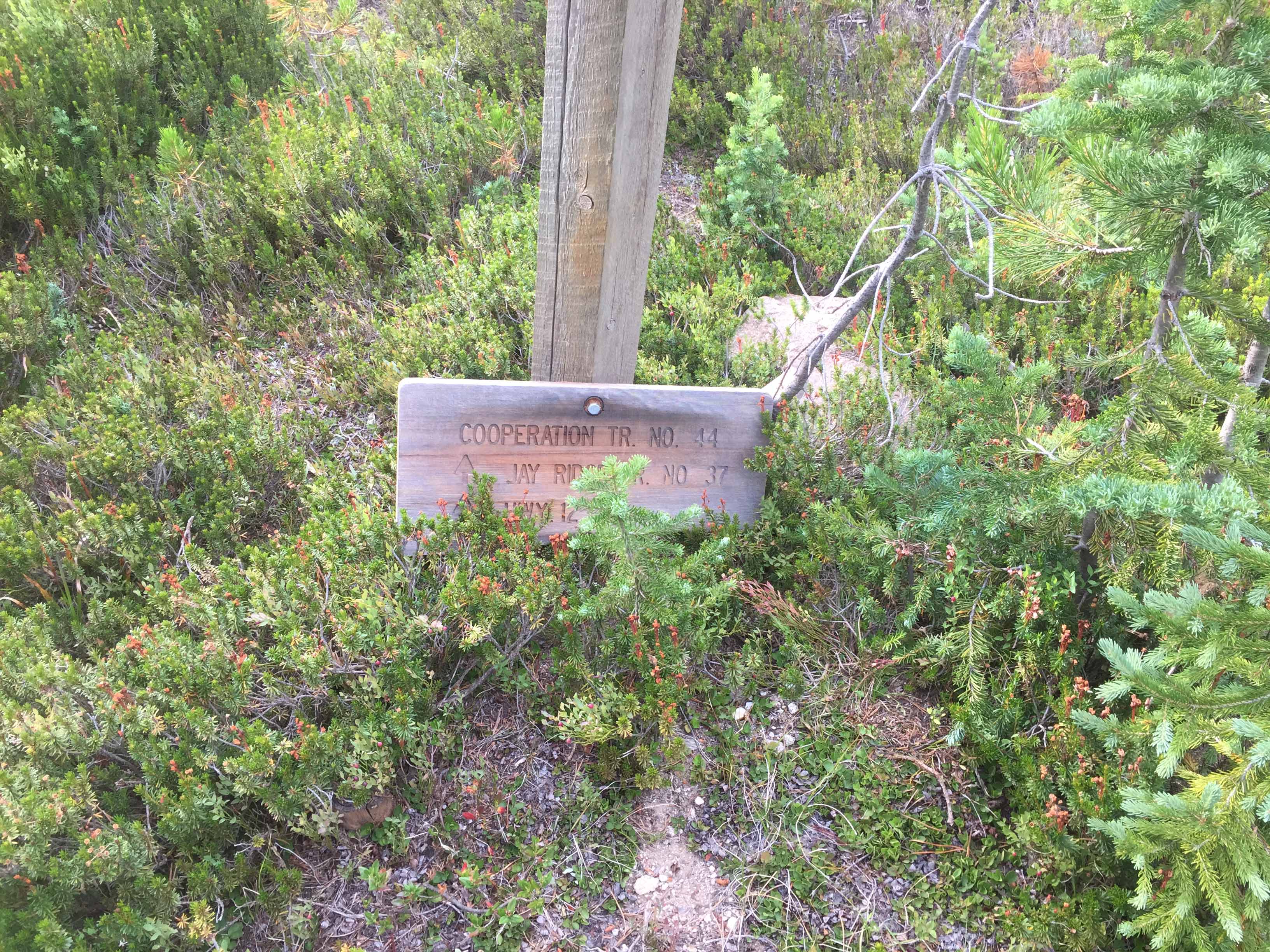
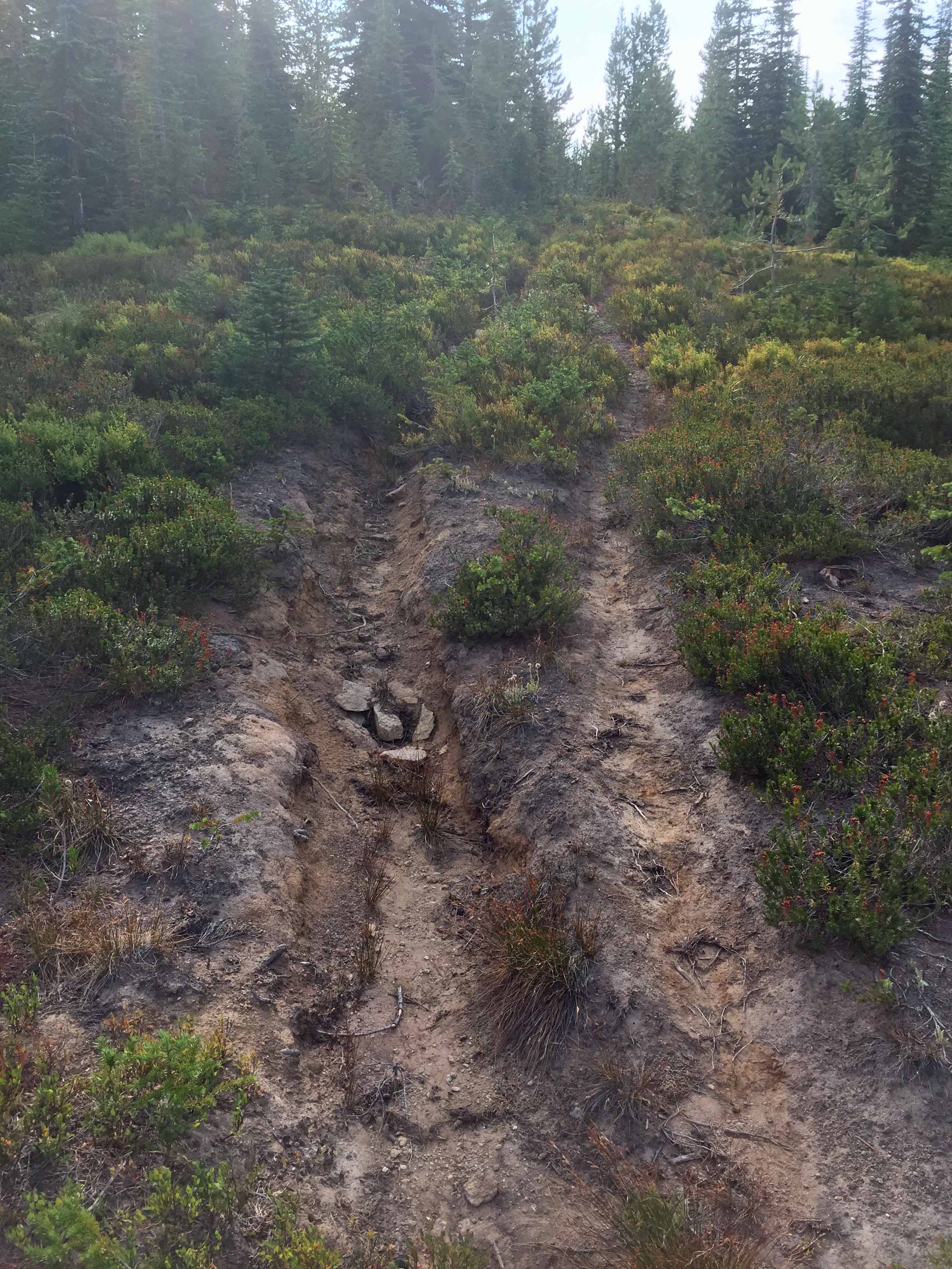
Three trails begin from this trail head and it is easy to get off on the wrong one. The one you want is #44 to Jay Point and it a very eroded steep trail at the beginning. It really needs to be relocated to a gentler climbing grade to the south side of the hill and tie into the ridge trail above. The trail sign was on the ground when I visited, I missed it and I began on the wrong trail.
There is good parking and camping at the trailhead including a vault toilet. A cool high meandering meadow stream, Tom Beale Creek flows yearlong near the trailhead. The area is frequented by mule deer and moose.
Elevation gain: down 550’ up 500’ on trail then 500’ up to 7300 and 750’ to Tom Beale Peak.
Trail Miles: 5 round trip on USFS trail #44 to a saddle between the two summits. Then scramble less that ½ mile to reach Tom Beale Peak and about 3/4 mile to reach summit 7300.
Water: A small year long stream exists near the trailhead. The trail hike, scramble and summits are dry.
Bear Pepper Spray: Highly recommended in all Northern Idaho and Montana summits
Map: Powell Ranger District, Clearwater National Forest
Directions: Leaving Highway 12 near Powell Junction take the White Sands Road #111 for 3 miles. Immediately after crossing the Lochsa River (Colt and Crooked Fork Creeks) turn onto road #362. Go past the Powell Fish Hatchery and continue another approximately10 miles to Tom Beale Park. The trailhead has a good parking spot.