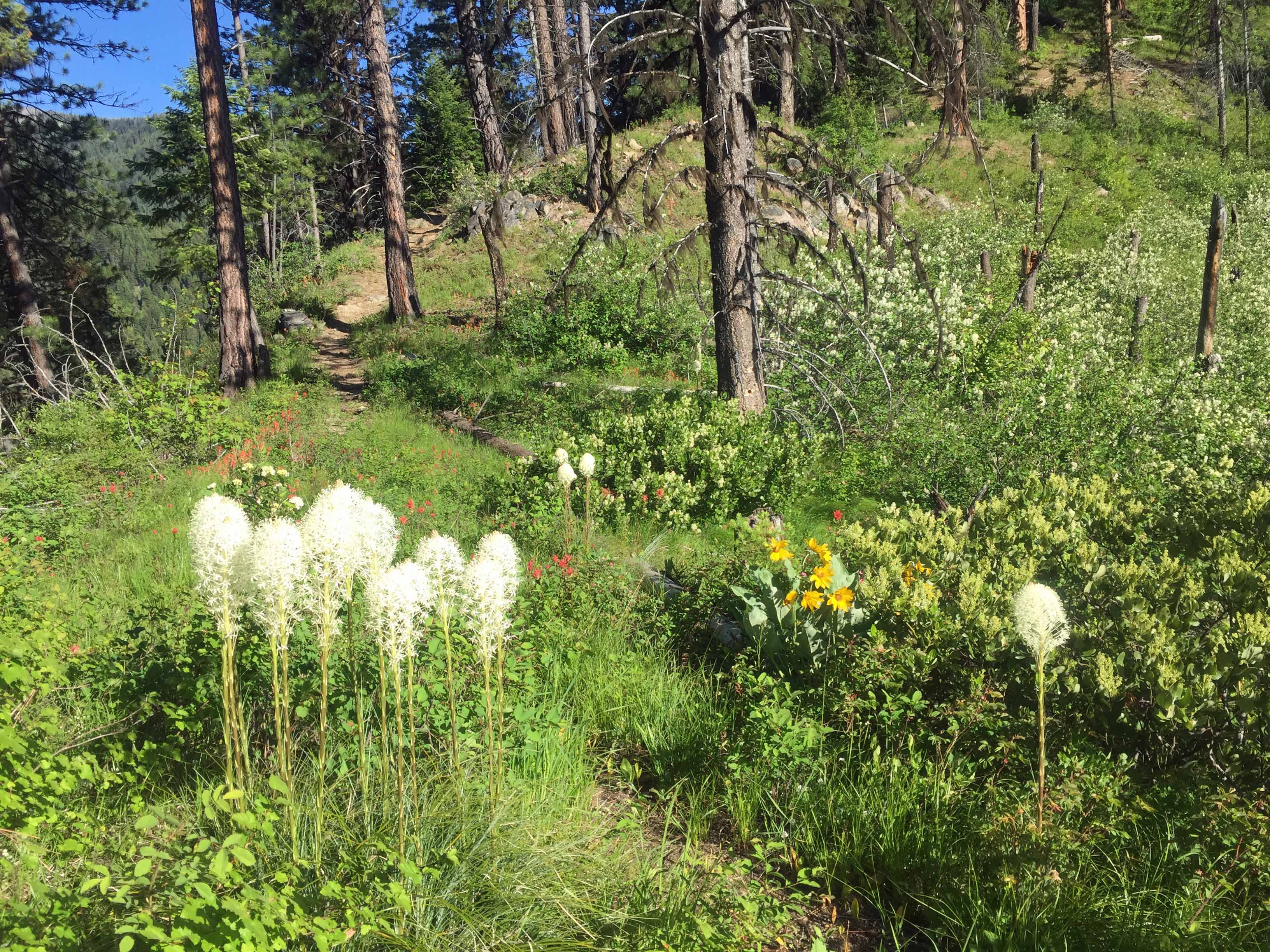
The trail to Spot Mountain is a typical multi-switchback route rising from the steep Selway River Canyon walls to long undulating ridges. These ridges were used historically by American Indians as routes to bison hunting areas in the eastern plains from the lowlands of the Salmon and Snake river drainages that supported huge runs of salmon and steelhead.
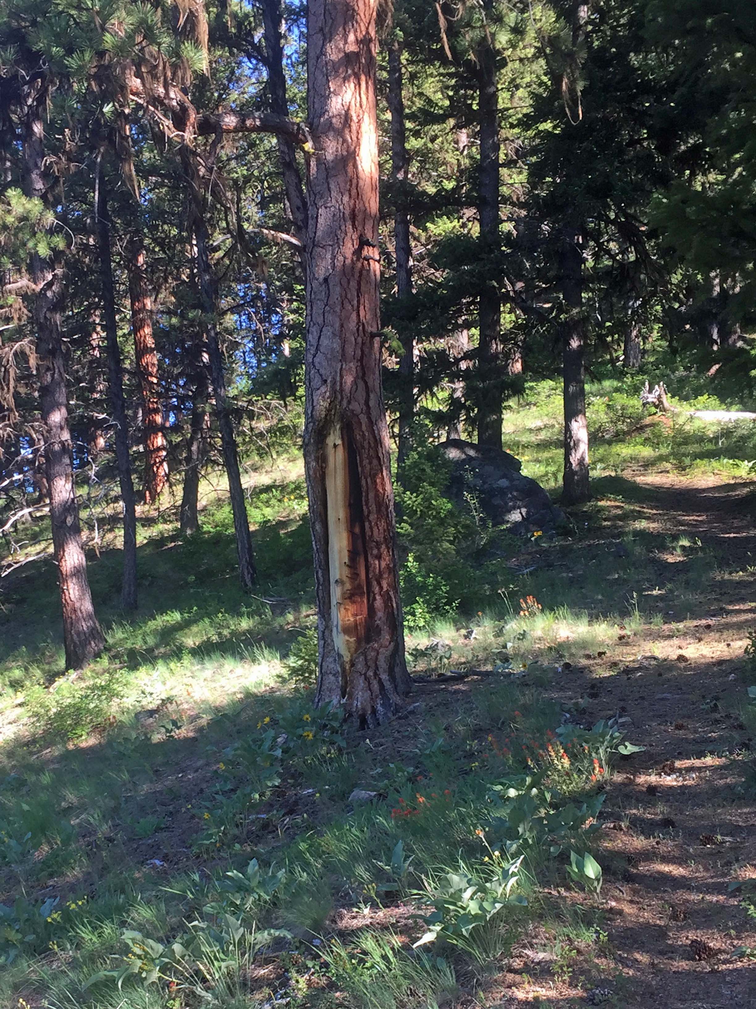
Indian ‘peel trees’ are still evident today on many large old Ponderosa Pine that dominate much of the area.
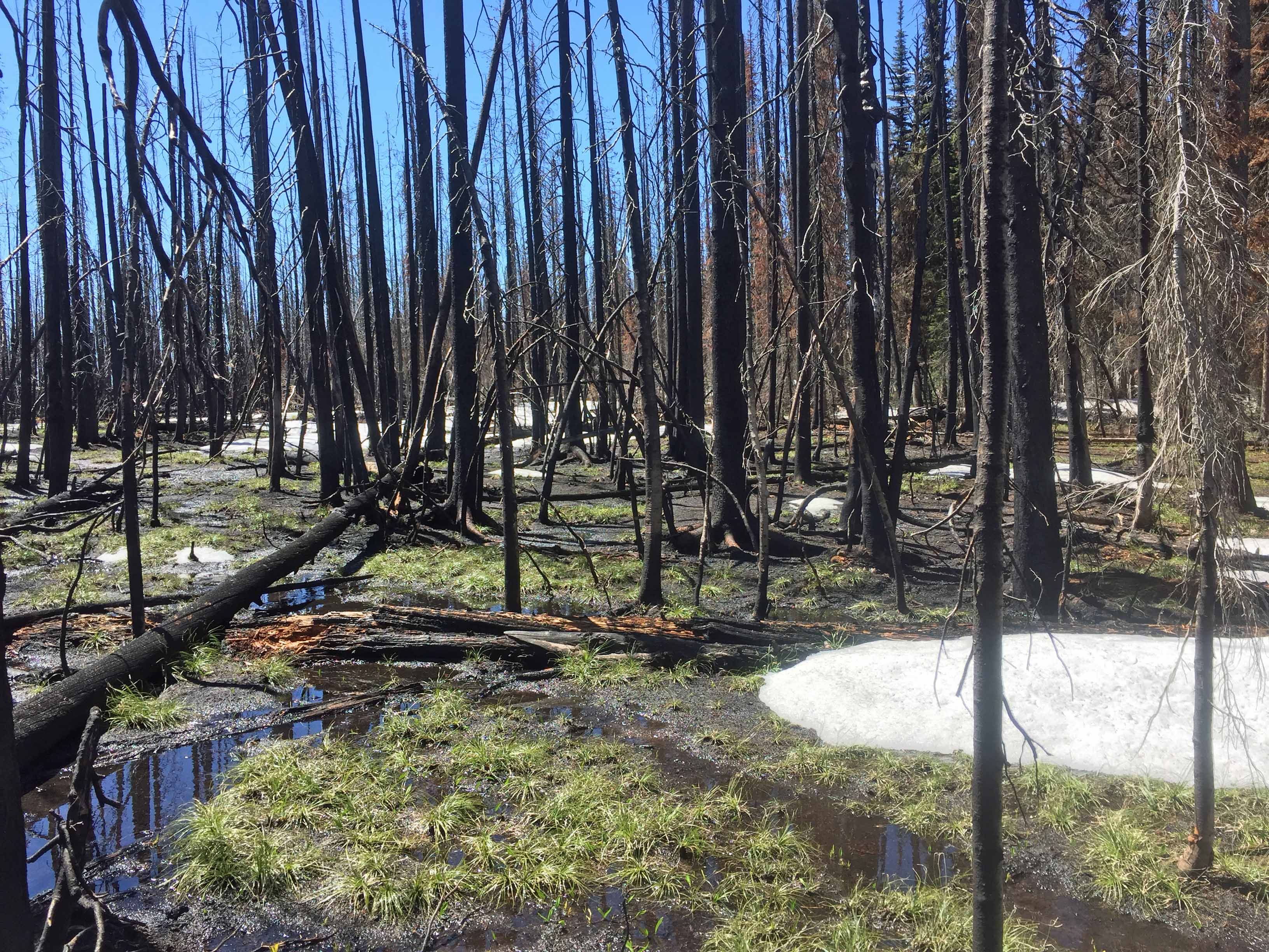
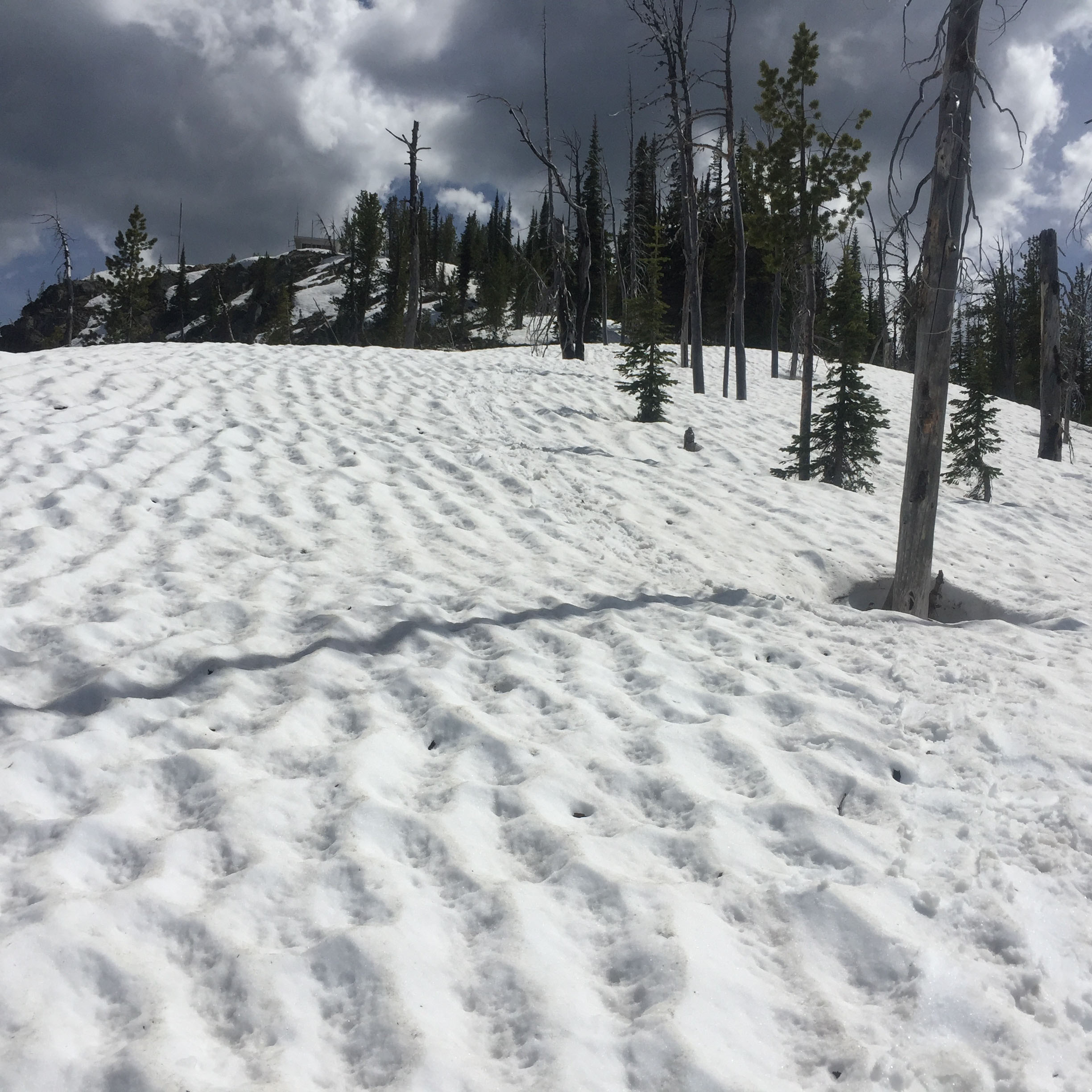
No water sources exist along the trail, but in early spring snow melt presents some very wet snowmelt areas on the upper flat ridges and long areas of accumulated winter snow drifts that can be difficult to traverse without snowshoes or cold temperatures.
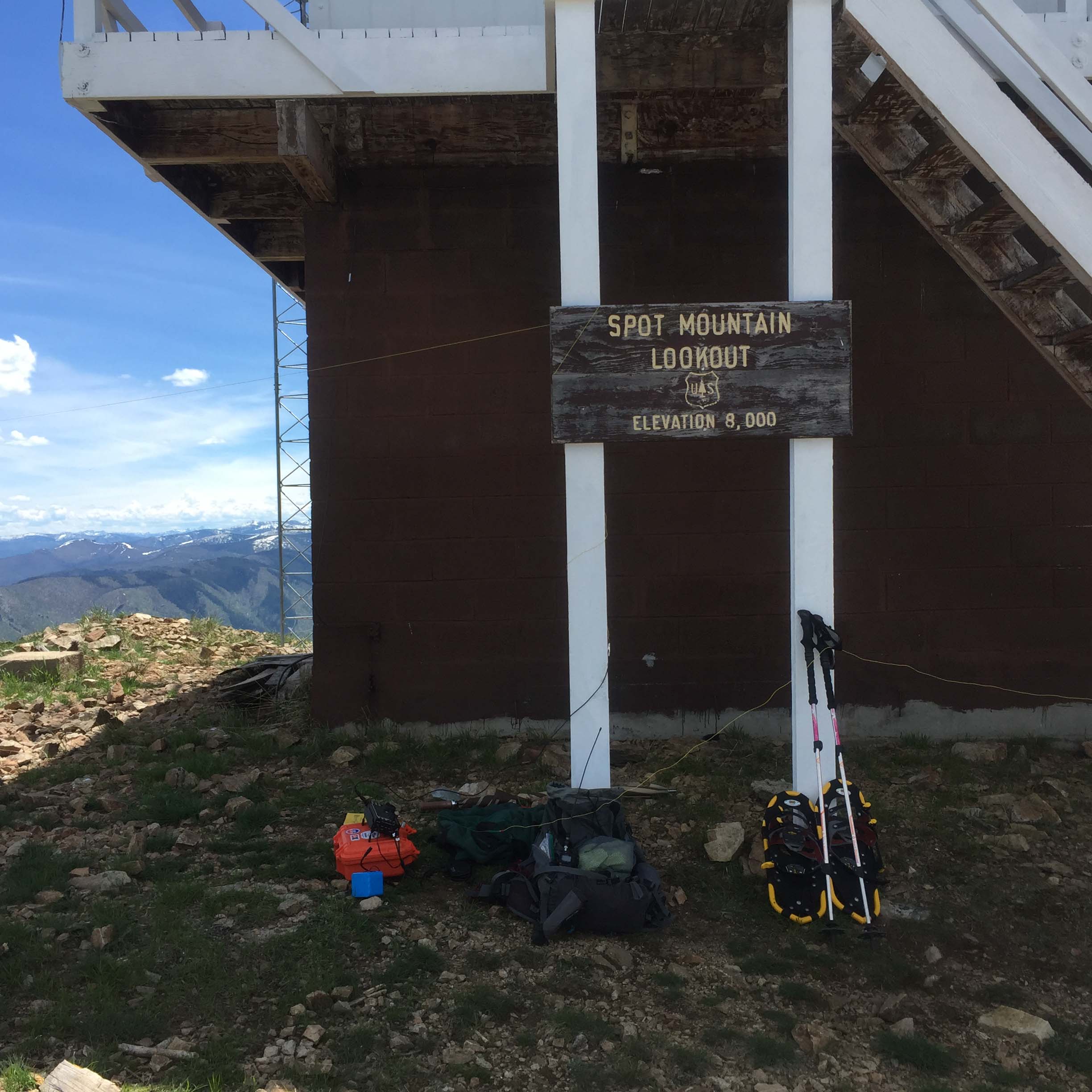
Spot Mountain supports a currently active US Forest Service Lookout during the dry summer months. The first lookout was build on the site in 1922, but the current lookout structure was built in 1972. http://nhlr.org/lookouts/us/id/spot-mountain-lookout/
At over 8000’ the summit offers fine views of the Bitterroot Mountains in all directions. There are ample trees to hang antennas around the summit.
Elevation gain: 4400’
Trail Miles: A little over 12 miles roundtrip.
Water: Only non-potable from the Selway River as one leaves the trailhead. None exists along the trail except for early season snow melt.
Bear Pepper Spray: Highly recommended in all Northern Idaho and Montana summits.
Map: West Fork Ranger District, Bitterroot National Forest
Directions: South of Darby, MT nearly 4 miles leave highway #93 and travel up the West Fork Bitterroot Road #473 for approximately 14 miles. Turn right, west onto the Nez Perce Fork road. Continue up that road for approximately 16 miles to Nez Perce Pass. Continue over this paved pass traveling down the Magruder Corridor along Deep Creek approximately 16 miles to the Selway River. Here a quarter mile side trip up the Selway River (left) ends at the historic Magruder Ranger Station. But continuing downstream (right) the road is narrow in many places but is well maintained. Cautions include horse trailer/raft trailer and, fallen rock and trees from old wildfires that frequent the area. The road follows the narrow canyon of the Selway River to Magruder Crossing. Here stay to the right and do not cross the river but instead continue down river approximately 4 miles to the Spot Mountain trailhead. It is signed, but is more evident by a stock unloading ramp alongside the road and steel stringer foot-bridge that crosses the Selway River.