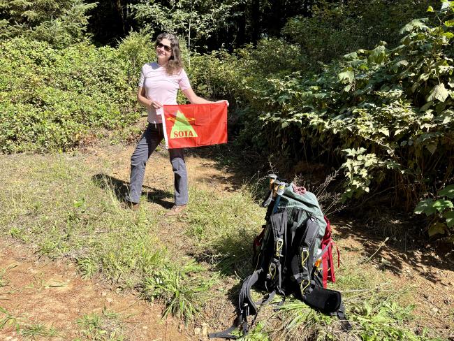
Captain Grey Mountain is a road walk of a few miles gravel through a mix of forest and clear cuts. The road is within the activation zone. It’s on land owned by Lewis & Clark Timberlands, and as such there is no driving up but non-motorized access is free with a Required Annual Permit, link below. **
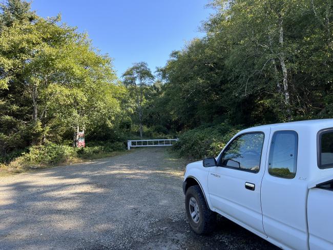
There is access at a gate right off of Highway 101 Between Garibaldi on “Quarry Road”. There is enough space for a couple cars to park without blocking the gate. Examination of the road on Gaia GPS will show you that there is a path to the peak this way, and I’ve shared an image of my track.
The road is clear and pretty steadily up. 3.7 miles and 1,600ft one way. Mix of shade and exposure due to clear cuts, and you get occasional views of the beach including the town of Rockaway Beach on the way up.
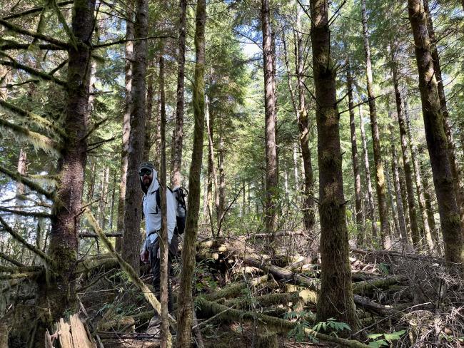
The peak itself is forested. The SOTA coordinates put the peak squarely on the road, although you can see once you’re up there the true summit is in the woods, where it is covered by a lot of deadfall. After having climbed through it, I wouldn’t particularly recommend it. In any case, the road would still be in the AZ if the coordinates were updated.
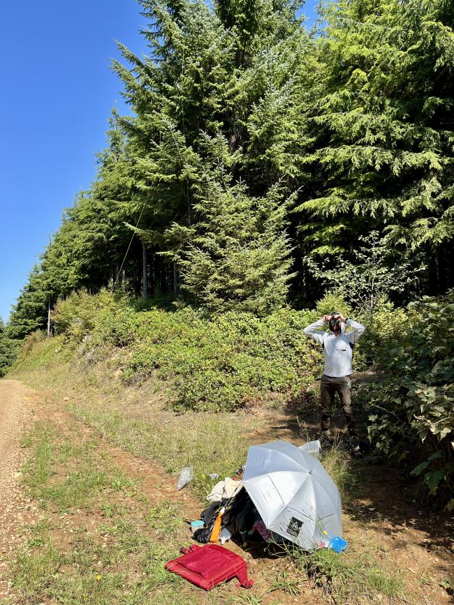
I was able to sit just off the road and use trees to set up my antenna. You’ll almost certainly need to use HF bands to activate (I got nobody on 2m).
There is a museum in Garibaldi that has a room dedicated to the mountain’s namesake. Having conquered the mountain and the museum, I believe I can now consider myself a Captain Robert Gray expert.
If you’re headed back in the southerly direction, I can recommend the Bay City Kitchen for food and beverage.
** apply to get a permit issued online


