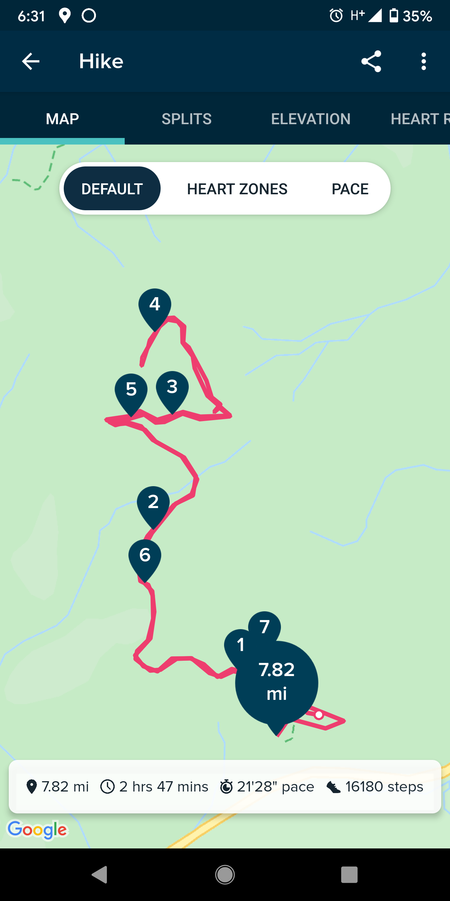
Hike in started from the Tiger Summit Trailhead (just up the access road from the bigger lot along the west side of SR-18. Discover Pass Required. Lot was about 60% full w/ maybe a dozen people (mostly mountain bikers) in and around their cars.
First ~1/4 mile was along the "Connector" trail to the state forest road. The remaining 3.5 miles to the summit are along this state forest road steadily climbing the ~1600' to the summit. Back in March, it took my cousin and I a little over an hour to reach the top, but this weekend it took closer to 90 minutes. Along the way we passed half a dozen groups of mostly three to four hikers. About half were wearing masks as we passed. (My cousin and I always mask up as we approach others on the trail, even if it is more than 6' wide.)
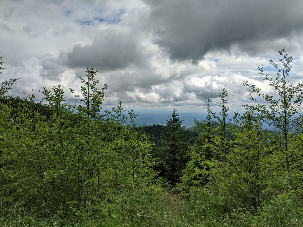
Once at the top we claimed one of the picnic tables where I extracted my gear. Use more or less the same setup as my Wilderness Peak activation the previous week. I did pack a few more sections of 1/2" PVC conduit mast. However with five 34" segments, with the Nagoya NMO-72 antenna and SOTA flag was a bit much and bent over farther than I liked. Pulling out one segment (leaving four in the mast) worked much better and put my antenna about 12' AGL.
Calling CQ on 146.52 MHz got several QSO with in about 10 minutes of operation. I tried switching up to 446.0 MHz, but was having difficulty reading the display on my QYT radio in the bright sunshine and accidentally got switched back to 2m. I also think I was having interference problems on 70 CM as I would have short bursts of very clear reception but mostly chasers were way down in the noise.
The small stick on clock and my reorganized log sheets worked well and made keeping the QSO organized much easier. Columns on the log sheet are now: Callsign; Time (UTC); QTH; and notes.
Hike down was uneventful and similar to the hike up just going down hill was a bit faster with fewer stops to catch our breath.
![KE4HET on [East] Tiger Mountain summit](https://www.pnwsota.org/sites/default/files/blog_pictures/KE4HET/IMG_20200628_163011-1008x756.jpg)
![KE4HET on [East] Tiger Mountain summit making SOTA contacts](https://www.pnwsota.org/sites/default/files/blog_pictures/KE4HET/IMG_20200628_164313-1008x756.jpg)