UPDATE 09/24/2022
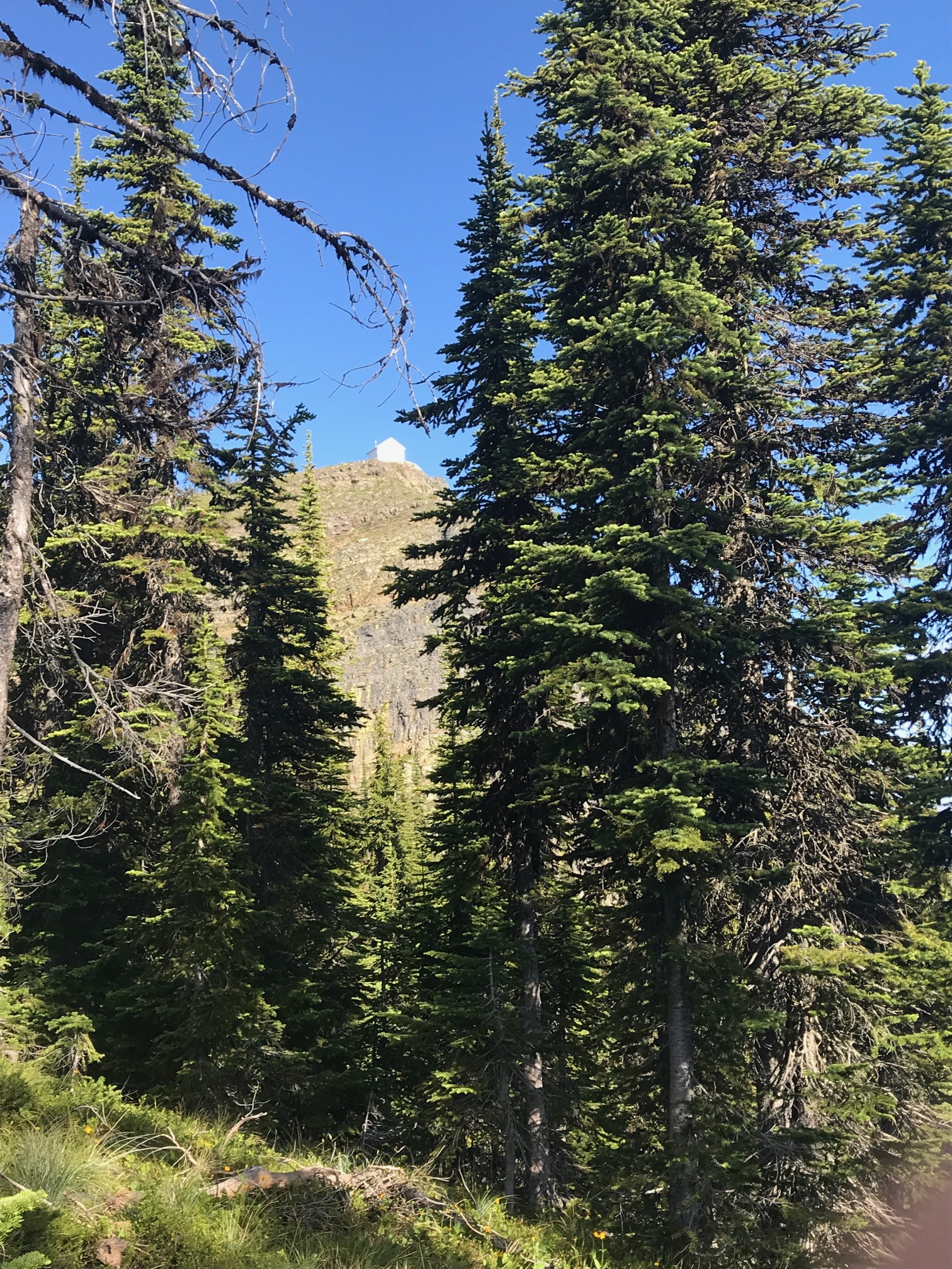
I rented the lookout for the night at the beginning of the month and found it a very rewarding experience. See my YouTube video detailing the entire two day trip here: https://youtu.be/vywipphMzF4 The lookout structure is NOT the SOTA summit for Big Hole Peak proper. Your SOTA app will tell you you are in the activation for the peak but you are not. This is one of those situations detailed in the SOTA rules where there is a neighboring peak to the summit that disqualifies that peak for activation the intended peak. You have to hike the one third mile to the true summit. Very easy to do from the lookout.
END OF UPDATE 09/24/2022
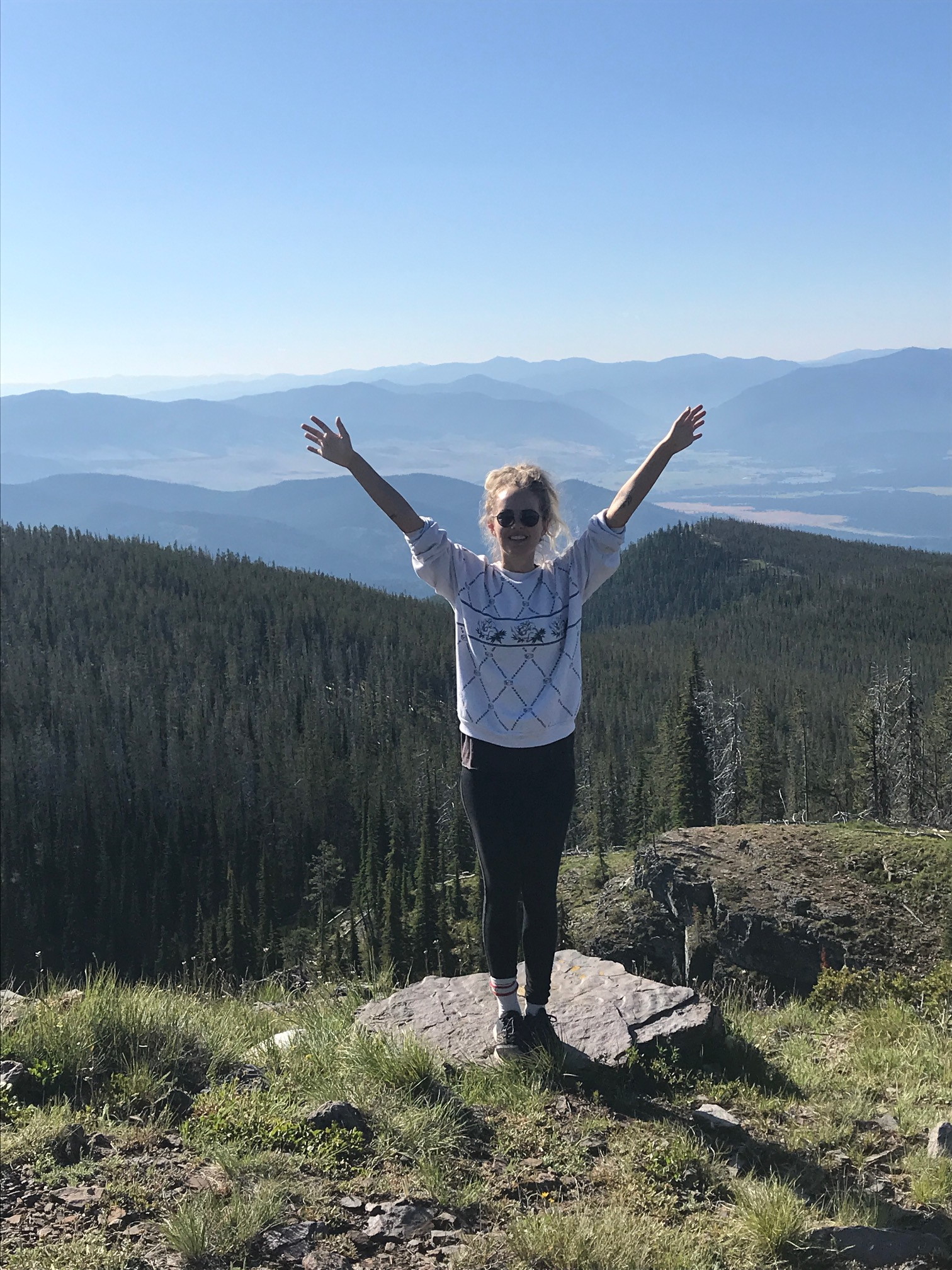
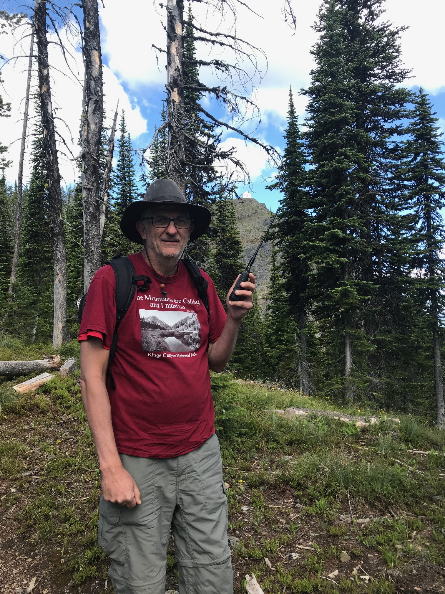
A 7.4 mile drive out of Plains, Montana then a 13 mile drive up on good Forest Service roads. 4WD not required but some rocky parts. Then a moderate 2.75 mile hike to the top on established trail. A 1,500 foot elevation gain in 2.75 miles for an average gain of 545 feet per mile. Two to two and a half hours to summit from Plains. The summit has a firre lookout station that was still closed the day we hiked. A metal firre pit and stacked firewood and outhouse also graced the summit. Good place for an overnight. I used a Yaesu FT2D 5 watt handheld with a 42 inch foldable tape measure style antenna. I received Missoula about 60 miles away with a 59 reception. three of four contacts were Missoula and one local from Plains. All on 146.52 voice. Outstanding views of three other 4 point peaks in our region.
Update 7/27/2020. I talked to the Forest Service today and was informed that in 2021 this lookout will become rentable to the public for overnight stays. For now you can still pitch a tent at the summit and have an overnight with fire in the established iron fire ring. Next year the summit might be reserved when you attempt to go. However, I see no practical place along the road leading to the trailhead where a gate could be placed without blocking access to the other established Forest Service roads in the area.
URL to Trailhead Map: https://caltopo.com/m/LFKV