Summit 4044 is a peak on tribal Indian land and requires a recreational use permit to legally hike. These are available most places in the area that sell fishing and hunting licenses. The permit is good for the entire year.
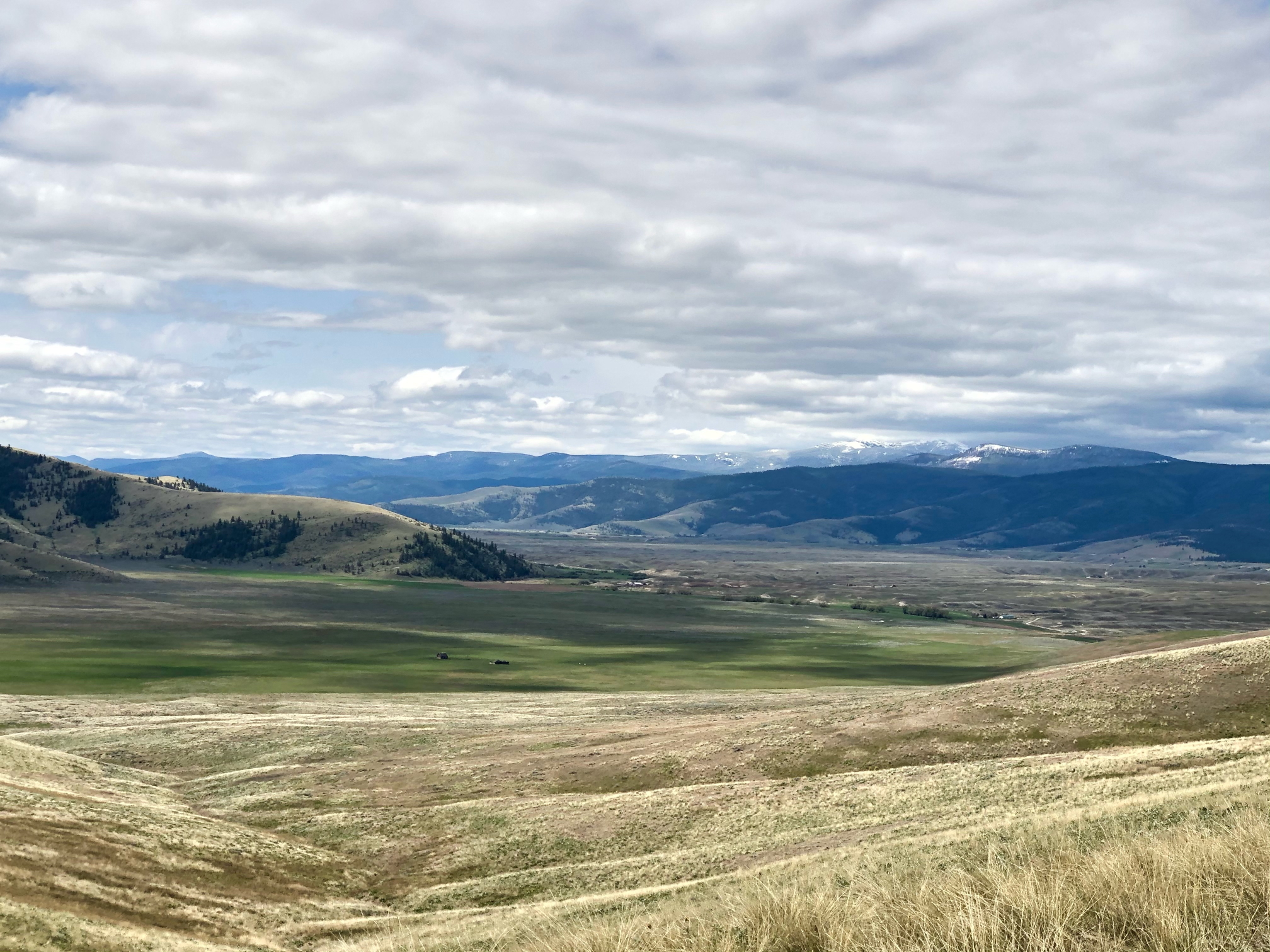
Getting there. Take Highway 28 north from Hot Springs, Montana. About 13 miles from Hot Springs the highway takes a gradual turn to the east, curving around 4044. Shortly after making the turn, look for a gravel pit and accompying large "parking area" on the south side of the road. The only two houses as far as you can see are just across the highway and down the road a few hundeed feet. There is no trail to this peak. It is entirely cross country except for an abandoned jeep trail that takes you up the first slope.
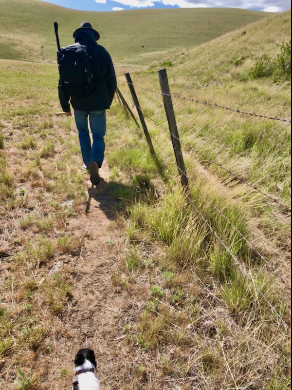
Hike due south following the cattle fence towards the hillside. Soon after the fence curves to the left you can see the abandoned jeep trail on your right. Hike this until the road fades to nothing. then continue uphill towards the right and catch and follow a partially fallen barbed wire fence. Study your Topo map and use common sense to take the path of least resistance to the peak. The terrain is almost exclusively low grassland. The peak is in a small patch of trees. You really can't get lost as you have wide expansive views of the terrain the entire hike.
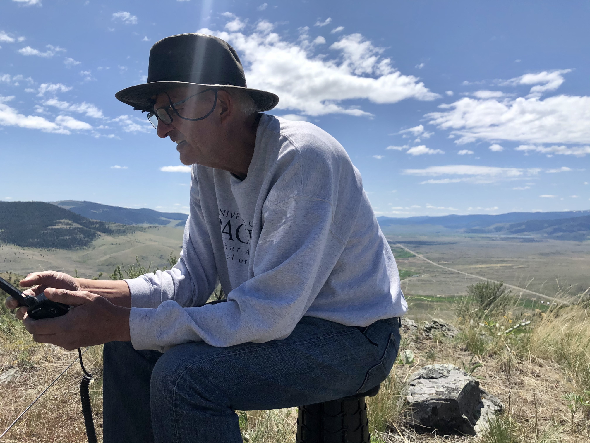
I got the four required contacts but had a lot of trouble getting a good signal. I forgot to connect a counterpoise to the radio. It's always a new learning experience on every new peak. I used an Elecraft KX3 on 15 watts with end fed wire antenna strung up on a collapsable fishing pole.
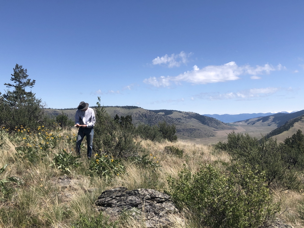
Total round trip was 5.3 miles. Excellent weather made for a very enjoyable activation.