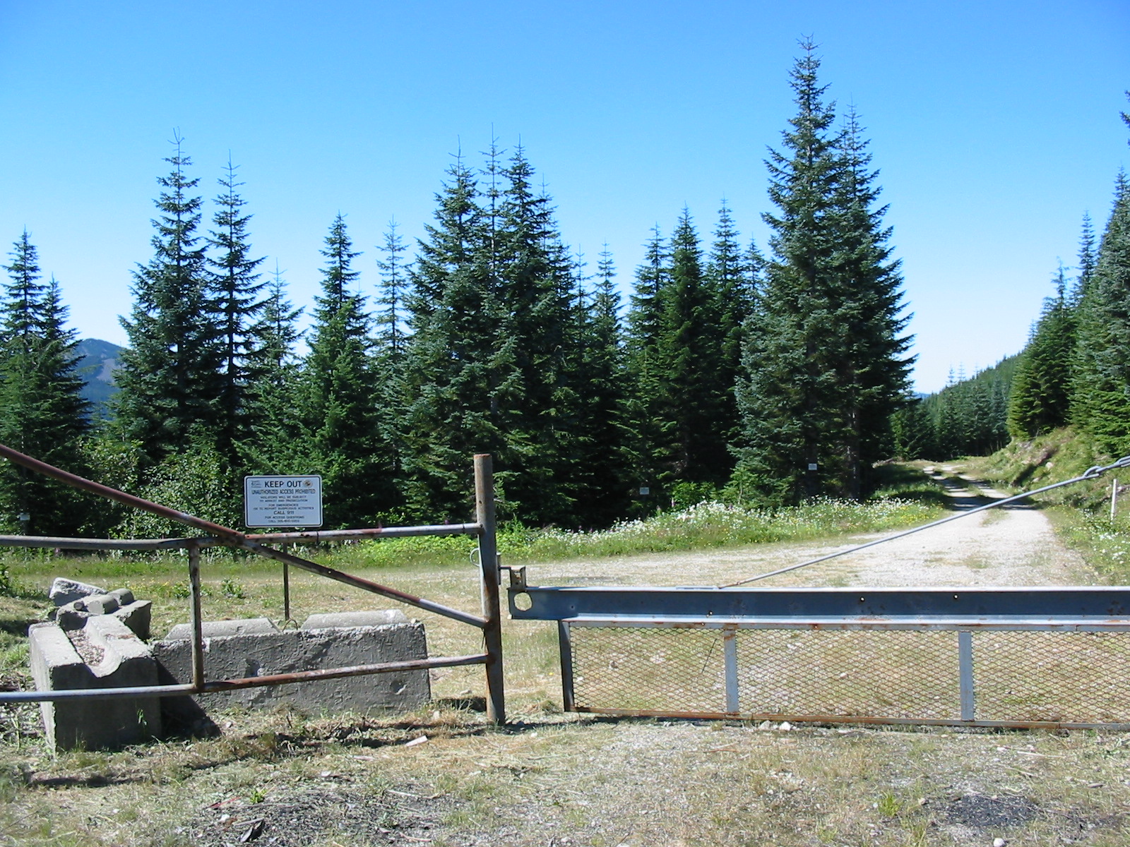
This one was a workout. The drive up was fairly straightforward: Exit 47 on I-90 to Tinkham Rd, then up the hill on NF-5510, until you reach the parking area and gate. NW Forest pass required.
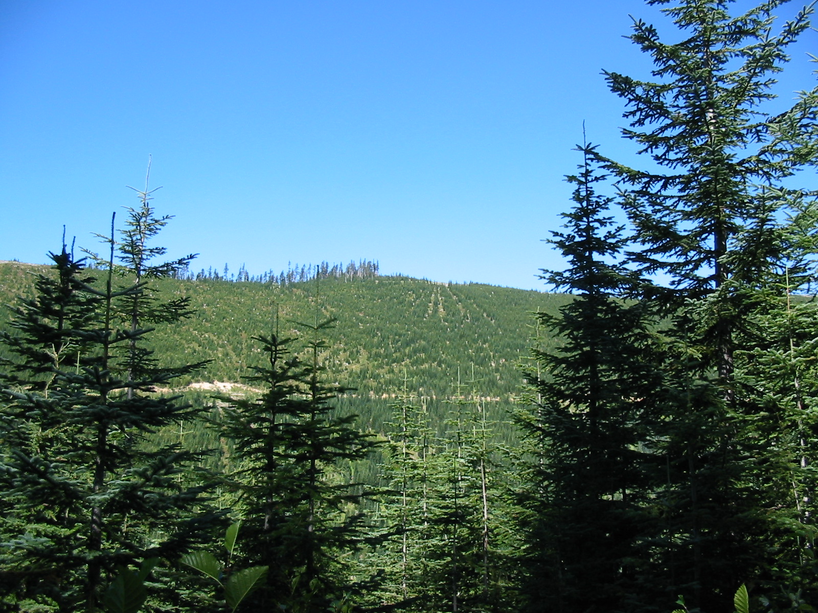
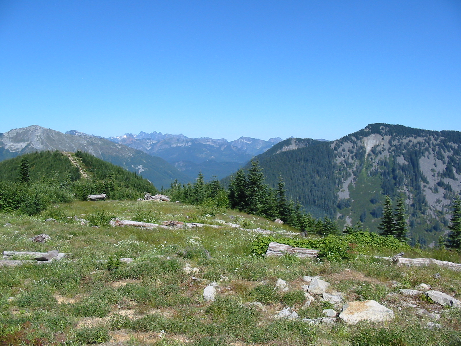
The official trail to the summit follows the gated road 1.5 miles until you reach the border with the Cedar River watershed - another gate and ominous signs. The trail then turns into a recently converted logging road - intended for mountain bike use, and judging by the marks on the trail mostly what it is used for. Though I must say that I saw no one, either hiker or biker all day up here, on a beautiful Saturday. I did spook some deer (or did they spook me?), get buzzed by some hummingbirds, and got scolded by a few pika's. The trail ascends very gradually up the east side of the mountain, then gets a bit steeper as it circles around the north side. Once it gets to the west side, there is a fork at a trail that heads down the hill to the right, keep to the left and continue up. At this point the re-purposed logging road ends, and the trail looks to be newly constructed - with biking in mind. Banked corners, jumps and lots of curves. This trail zig-zags up the hill a ways, then encounters another old logging road. This is where it gets interesting. The uphill part of the road here has been "de-commissioned" in a serious way, especially for the first few hundred feet. 2 foot deep trenches with 2 foot high mounds next to them, every 15 feet or so. Plus a few logs and stumps thrown in for good measure. I waded through all this, and once the road gets back around to the north side of the mountain again the going gots a little easier until I finally got to the saddle between the two summits. The more southerly one is the "real" summit, and is a short walk up another decomissioned road, but this time there's a grassy shoulder to walk on.
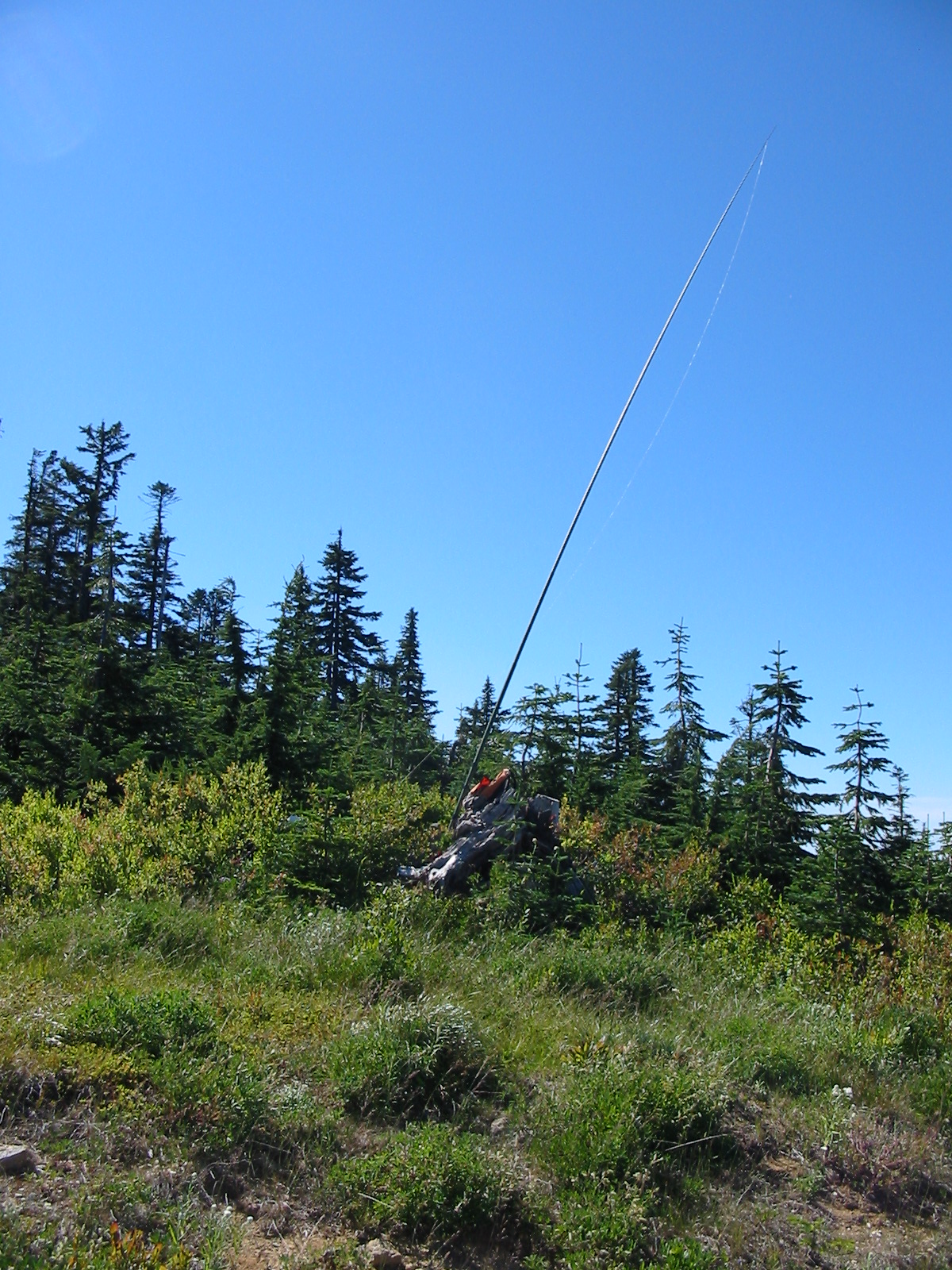
The coords for the summit seem about 50 feet to the SWof where the high point looked to me, but in any event the summit is fairly broad and covered with huckleberries and small firs. I chose to set up about 100 feet away, and about 20 feet lower, at the edge of the dense underbrush. There was only a slight breeze, but it took a while to pile up enough rocks around the Jacklite pole so it wouldn't blow over.
I sent off an SMS message to QRPSPOTS, fired up the rig and started calling CQ with the message mode of the keyer. It was starting to look a little grim after 10 minutes of silence when suddenly "AC7MA" blasted my ear drums. He was so loud I almost knocked the radio off the stump. Unfortunately I also must have bumped the coin cell inside the rig that I had wired in, as the keyer reset itself (and lost the CQ SOTA message). It was worth it though - Rich was on W7/KG-055 - summit to summit!
Sounds like condx weren't exactly at their best, but I still managed to eke out 10 QSO's before concern about the time it was going to take to get down made me go QRT and head back down the de-comissioned road.
Hiking distance: 8 miles round trip, about 1200 feet elevation gain.
A pretty good map of the route up there can be found at: http://www.nwhikers.net/forums/download.php?id=a3cb215a202e05db92e71475eaf60523&p=761370