In a normal year, this would be an easy 4-point drive-up. Driving access is via Forest Road 8303 (Ape Cave Rd.), 8303340, and 8303341. From the end of 8303341 the summit is ~500' to the NW, where the trail ducks off the ridgeline you would just continue straight to the summit.
This year however, due to the COVID-19 pandemic, the Forest Service has not opened road 8303. The official trailhead for Cinnamon #240 (the trail which runs closest to the summit) officially begins at the Kalama Horse Camp, just north of Merril Lake. To arrive there, follow Hwy 503 from Woodland, and turn left on FR 81 just outside Cougar. Parking (and campsites) are free of charge (with Washington Discover Pass = not the NW Forest Pass). The trail starts here and climbs approx. 2,000 feet over 2.25 miles to the summit.
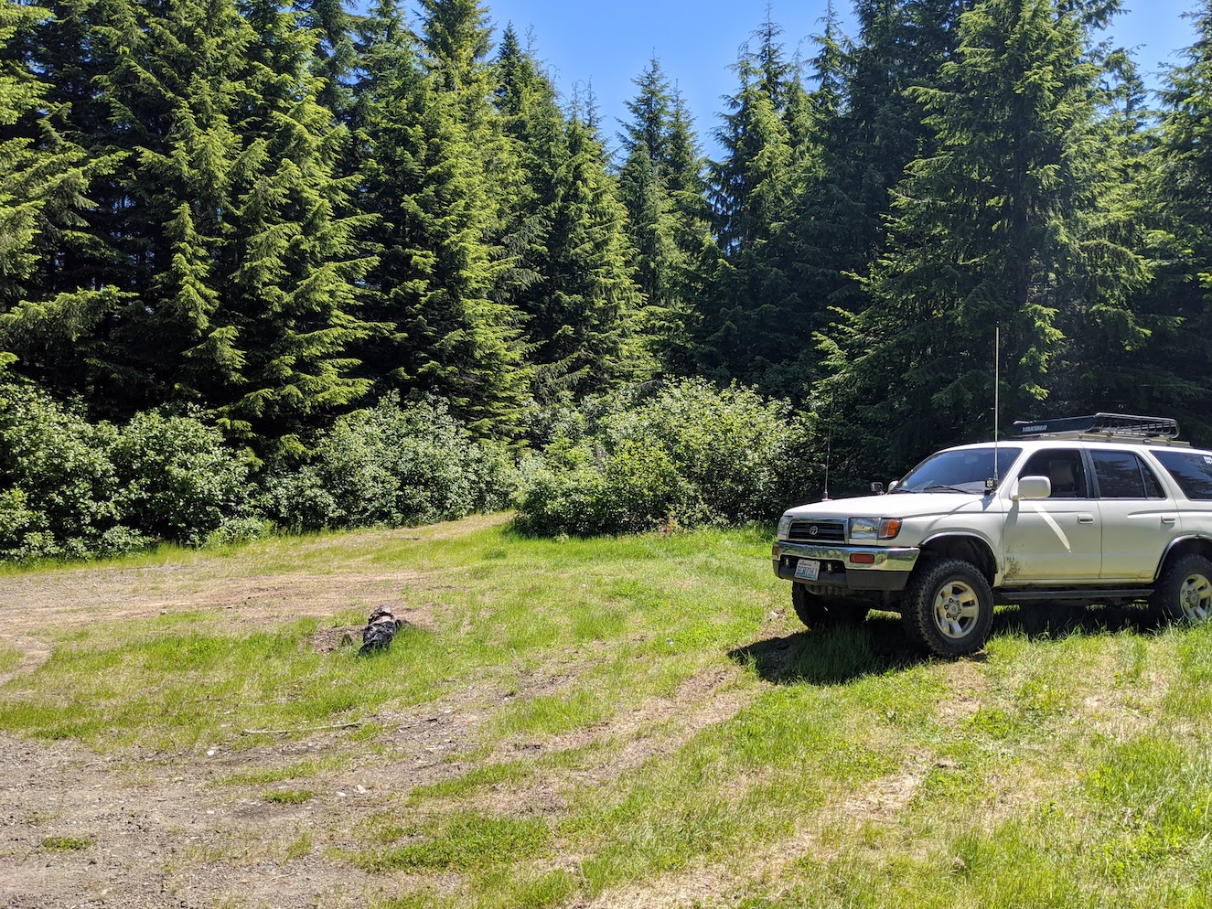
Alternatively, if you want to make the hike more of a sprint, you can continue on road 81 past the camp, then take the next right on 8122. Warning, this is a rough, narrow, sometimes sketchy, road. I would hesitate to even take my wife's Subaru up this road. The alder saplings are attempting to take over, there are stretches of deep ruts, some creeks that have etched crossings into the road, and in one spot a small landslide is threatening to take the road down the hill. Do not drive up if you value the paint on your vehicle. Up this road, you'll come to a intersection and clearing, park here. The trail is just up the road to the east, taking off into the alders on the right. I chose this as my starting place :)
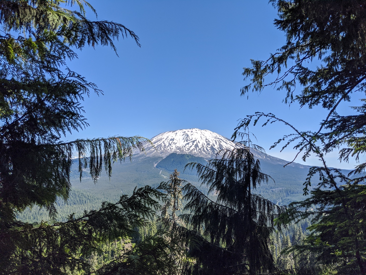
From the clearing, it is just over 1 mile to the summit, with 690 feet of elevation gain. I got to the top in just under 30 minutes. There are just a couple of places along the way where you get a nice view of Mt. St. Helens, but for the most part this whole area is heavily forested.
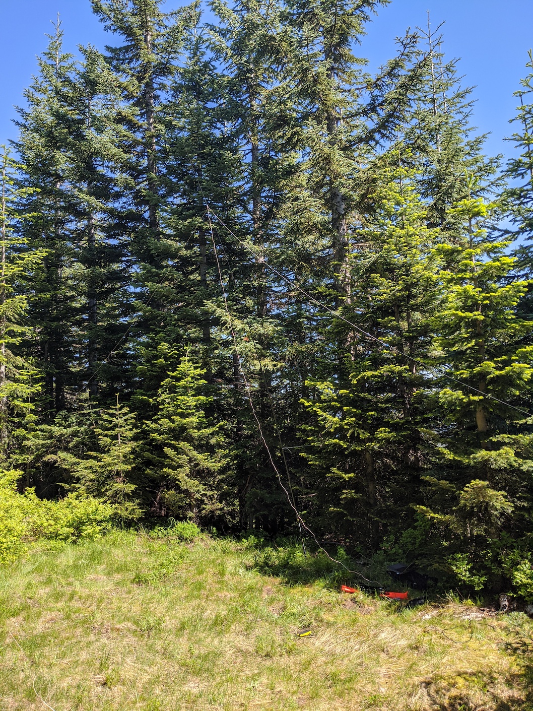
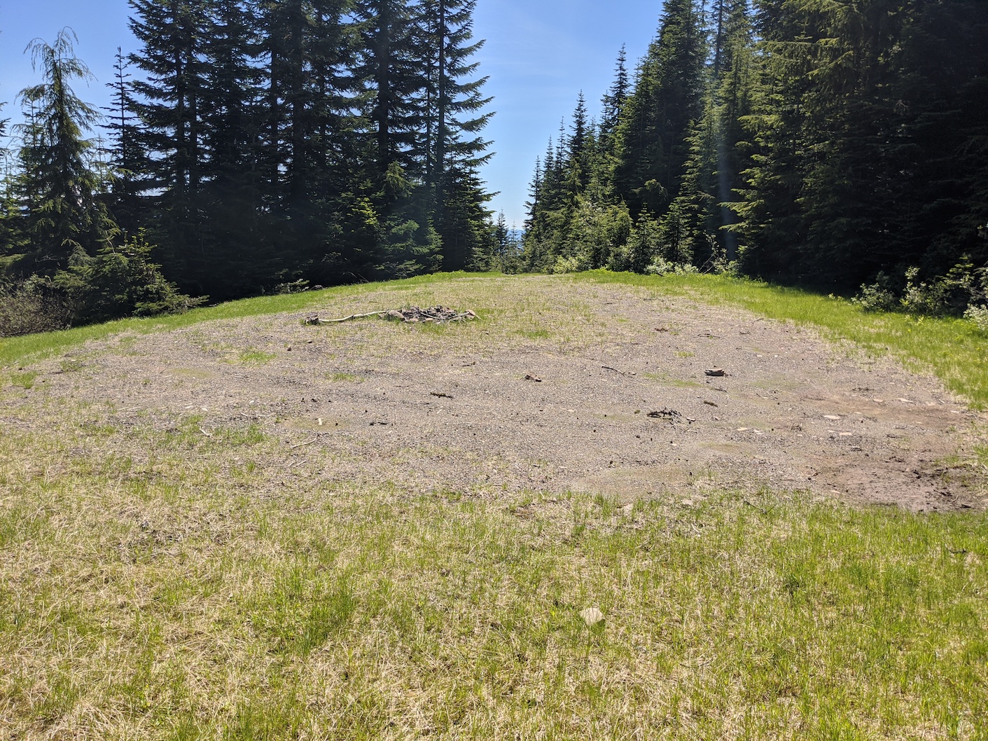
I believe the end of road 8303341 is inside the activation zone, but just 50' in the trail from the road is a nice little clearing, which has better grass for sitting on. I got set up here. I had some frustrations with my antenna (speaker-wire dipole for 20m) for about 20 minutes, eventually re-orienting it a bit, and also removing a patch cable from the mix. Once I got that straightened out, I was able to make 5 QSOs on 20m FT8, earning my first SOTA points with a first activation of this summit. I then headed down the hill, back to my 4runner, and made my way over to Lone Butte for a 2nd activation of the day.