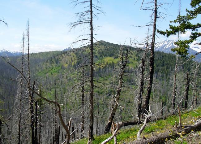
This summit has a generally well-maintained (and well-traveled) trail with a great view of the surrounding mountains. The top is mostly detritus with a few trees and boulders around for convenient lounging/operating. I liked the fact that two peaks can be activated off of the same trail – W7W/OK-159 is quite close, and well worth the additional time and effort. These peaks are located near Mazama, WA off of Hwy 20. There are plenty of campgrounds nearby and lots of other SOTA peaks in the area.
The trail to Driveway Butte is listed as 8 miles roundtrip and is in good shape (I think it may be bit longer). There is a steep steady switchback climb for the first couple miles, leveling out a bit until the base of the summit is reached. Elevation gain is more than 3000 feet. Yesterday I began the hike at 7 AM, which in June is not too early - the initial climb and switchbacks get too much sun for me to enjoy going up any later in the day. I found that the trail has been cleared of blow downs up to about 2.5 miles. After that there are numerous trees that were easy to step over, around, or go under. There are also some muddy patches which can be negotiated without too much trouble. Good water sources are now flowing along the trail – streams that will likely dry up when all the snow melts on the nearby peaks.
At the top, I set up my telescoping pole to the west, away from the summit cairn and close to some old lookout foundation piers. There was a strong wind blowing, but I found enough purchase in the soil for tent stakes to secure the guy lines. The sun was warm, but the wind was cold enough that I sat below the crest wearing a stocking cap and my jacket. With the wind shaking it, one section of the pole dropped a couple times during the activation. It felt good to stretch my legs every now and then to push it back up. Worked a nice bunch chasers for the middle of a Wednesday – thanks for making these trips a blast!
It took me a bit less than 3 hours to reach the top and the trail was easy to follow. Check the guide and recent trail reports on the wta.org website for more details about this great location.


