Summit:
W7W/CH-193
I started from

Chase Mountain is in the Blue Mountains of southeastern Washington near the town of Dayton. There is no trail to the summit, but you can drive right into the activation zone. Park at the bottom of forest service road 6437 for a 2.2 mile walk or drive up to the top and walk out and back in as I did. There are a few places at the top to pull your vehicle off the road.
Oregon Butte is the highest peak in the Blue Mountain Range of southeast Washington State. There is a lookout up there which should be staffed by early July.
The easy access to this hill is off of forest road FS-6081 (you’d want a high clearance vehicle) which was not passable for us. It leads to a spur road that goes almost to the top (this is also blocked to vehicles by windfall and some erosion). Good thing we had a plan B – which was to follow the PCT - Trail #2000, south from the nearby Crest Horse Camp.
Our first activation of Bald Mtn in 2015 was very satisfying even on the overcast and misty day we did it. But opt for a sunny day if you can - the views at the top are really worth it. On a clear day, you will be rewarded with a wonderful vista of the Spada Reservoir and the mountains beyond. The pictures here were taken when we went back in 2016.
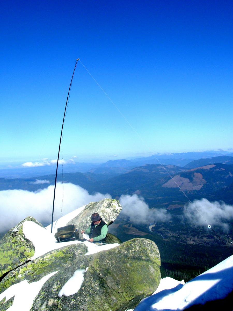
This is an easily accessed peak in an area that's currently undergoing logging activity. We went up on a Saturday and had the place to ourselves. The peak and ridge is rocky with a few trees and lot's of deer and elk sign. There is a pleasant view mostly to the east. The activation area is large with plenty of room for a dipole antenna.
Current trail conditions are packed snow and ice. Probably more to come in the next couple of days. We didn't bring our Yaktrax and paid the price by slipping and sliding all over the place. Our ascent took too long, and the more careful descent even longer.
Hungry Mtn is located in the Okanogan National Forest near Carlton, WA. It’s only a short distance from the highway, with a short steep climb from the end of the road. No water, no trailhead, no facilities, no permits. You’ll likely want to use a high-clearance, 4WD vehicle – this road will be soft and slippery when wet. This peak took me about an hour to walk in to, and half that time to get back to the truck.
This peak is 68.5 miles east of Interstate 5 along State Route 2. Go over Stevens Pass and very soon after the highway divides, turn left on Smithbrook Road #6700. Travel in, over and around the potholes for about 3.7 miles to a wide left-hand curve at about 4600' in a saddle of the Nason Ridge. Park along the road or on a nearby spur road and you'll find the trail for access on the east side signed as Nason Ridge Trail #1583. No permits required here.
This could be the second of two 6-point peaks in the same day when you combine this with an activation of Union Peak (SN-082) - you'll want to cross Union on the way to Jove anyway!