Chase Mountain is in the Blue Mountains of southeastern Washington near the town of Dayton. There is no trail to the summit, but you can drive right into the activation zone. Park at the bottom of forest service road 6437 for a 2.2 mile walk or drive up to the top and walk out and back in as I did. There are a few places at the top to pull your vehicle off the road.
I did walk the short distance up to the forested high point. It was fairly easy to pick my way over a lot of blow-down and the low brush. Finding nothing of interest there, I moved back out towards the road and picked a more open spot to set up my antenna and operate from.
The drive from Dayton, WA was about 24.7 miles and took us less than 50 minutes.
Directions: From Main Street in Dayton, take the S 4th Street out to the southeast and stay on it when it changes to the N Touchet Rd and then again into NF-64. The pavement stops just past the road up to the Bluewood ski area, and from there it is 3.6 miles to your right turn onto the well marked NF 6437. It is 2.2 pot-holed miles from that point to the NW corner of Chase Mountain.
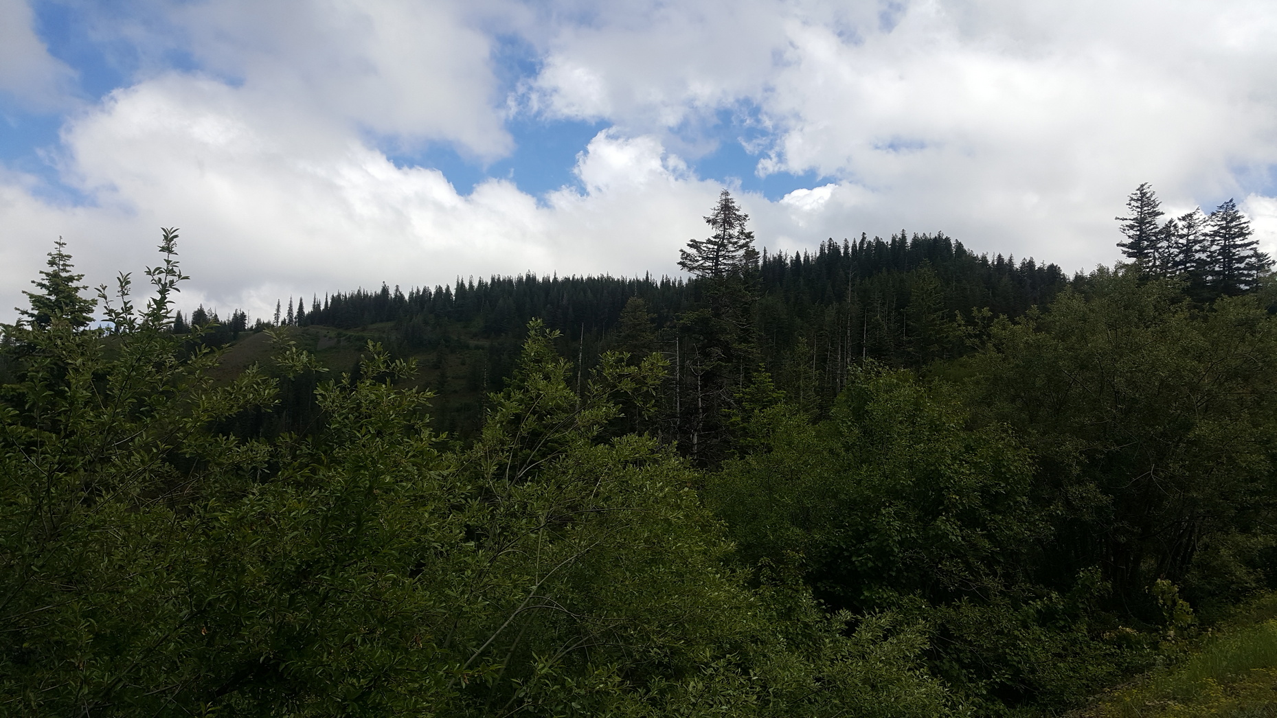
The picture below, shows the summit on the right and (if you zoom in) the road winding around back on the left.