WTA has a good Trail Report at https://www.wta.org/go-hiking/trip-reports/trip_report.2015-03-26.4118740807 with good general directions to PCT parking off the paved FS-5603 road.
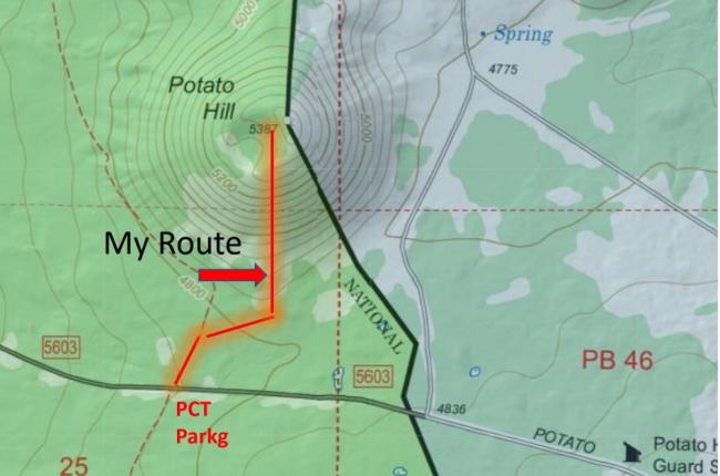
Some folks have expressed concern about hiking on Yakama Reservation property. See my USFS map that clearly shows the Yakama Reservation boundary, which actually crosses through the actual summit, is well to the east of the PCT. The access bushwhack is also clearly to the west of the Reservation boundary. See the attached photo. I used my compass, choosing a 360-degrees as a ground track to start my uphill bushwhack. The climb is steep but after the first 200 yds is less a bushwhack and more a cinder-cone, loose soil, uphill slog.
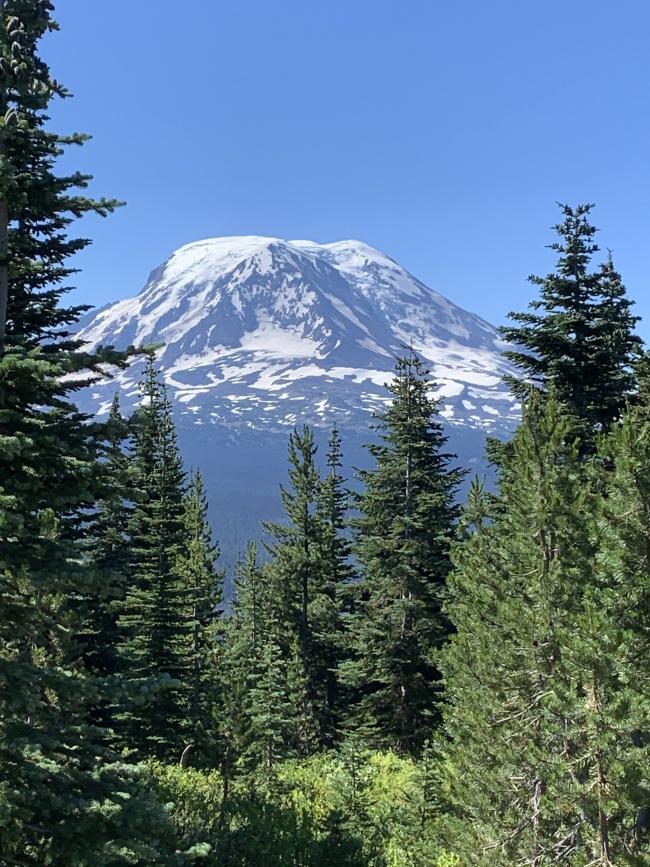
I found no information about this as a former Fire Lookout site, although the views of the Goat Rocks to the north and a stunning view of Mt Adams to the south is magnificent.


