We headed up to Tropo after getting some excellent pointers from Etienne K7ATN. He and Darryl WW7D were also up here a few days ago.
The route we took started from Morton, WA on Hwy 7 northbound. Unfortunately, Google Maps wants to route through private gated property. So we continued on north until NF-74 and turned off there. We followed NF-74 to the crossing with NF-295. Beyond that point, you will need to disregard your vehicle's paint job. The scrub brush is very ingrown on the next section of NF-74.
Also, there is a very large boulder in the path which required one of us to dismount and provide directions to get around. We apparently avoided it by a few inches. On the return trip, it was somehow easier to get around.
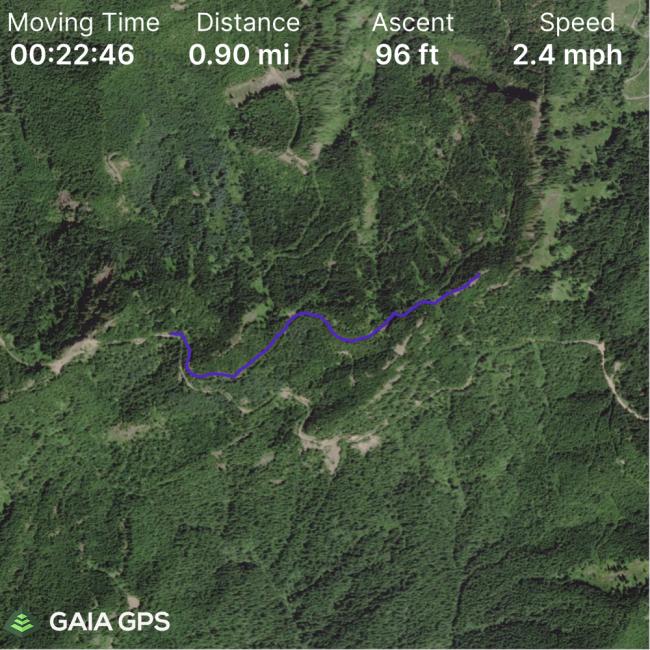
Otherwise, it was relatively easy to get to the spur NF-7424 which leads upwards. This is drivable but I chose not to since I was worried about being able to turn around. There is a spot at 46.677601, -122.265856 where you can turn around. This is also the point where you take the second spur road and have to begin hiking as it has been blocked off. This next section is also relatively easy to traverse but gets successively harder as you go.
There is a point where the foilage becomes a tangled mess and you should head up the hillside. There are tracks going up. Once you pop over the side, you run into someone's campsite that they have been steadily improving. They left a tarp and some cookware. (Somewhere around 46.678134, -122.259222)
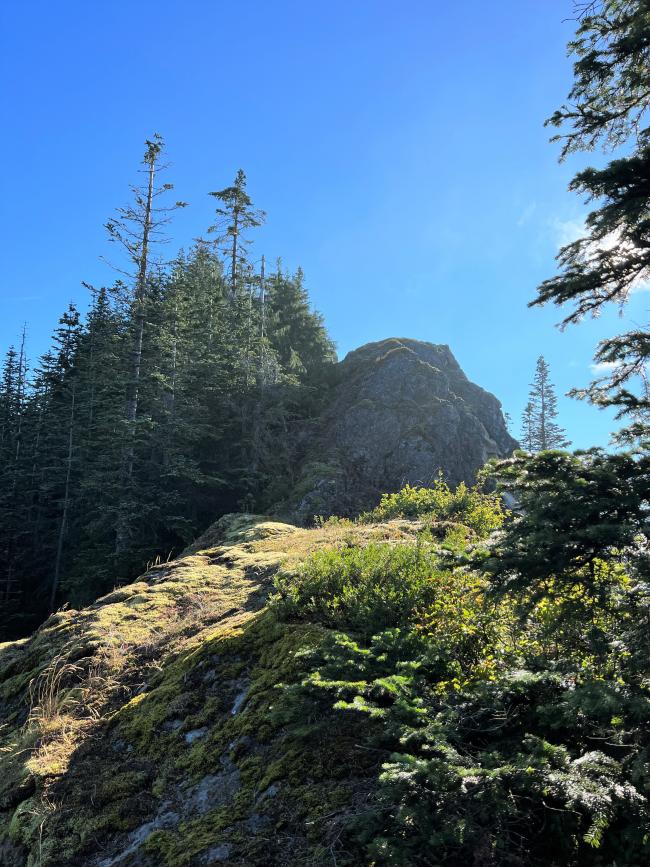
We passed the campsite and continued on down a bit and back up always following the ridgeline. At this point you are on the main ridge that leads to the summit. There are several points where you have to climb over some rock sections until the summit. As Etienne points out, stay to the left of the ridge. The right side is a sheer cliff which is likely impassable.
The summit itself has an open area which was plenty to raise my EFHW and work 40m/20m. It was a bit of a slow start but eventually someone spotted me to POTA and I ended up with 25 QSOs. I have a GPS track if I can figure out how to upload it. Email me if you need it before I do.


