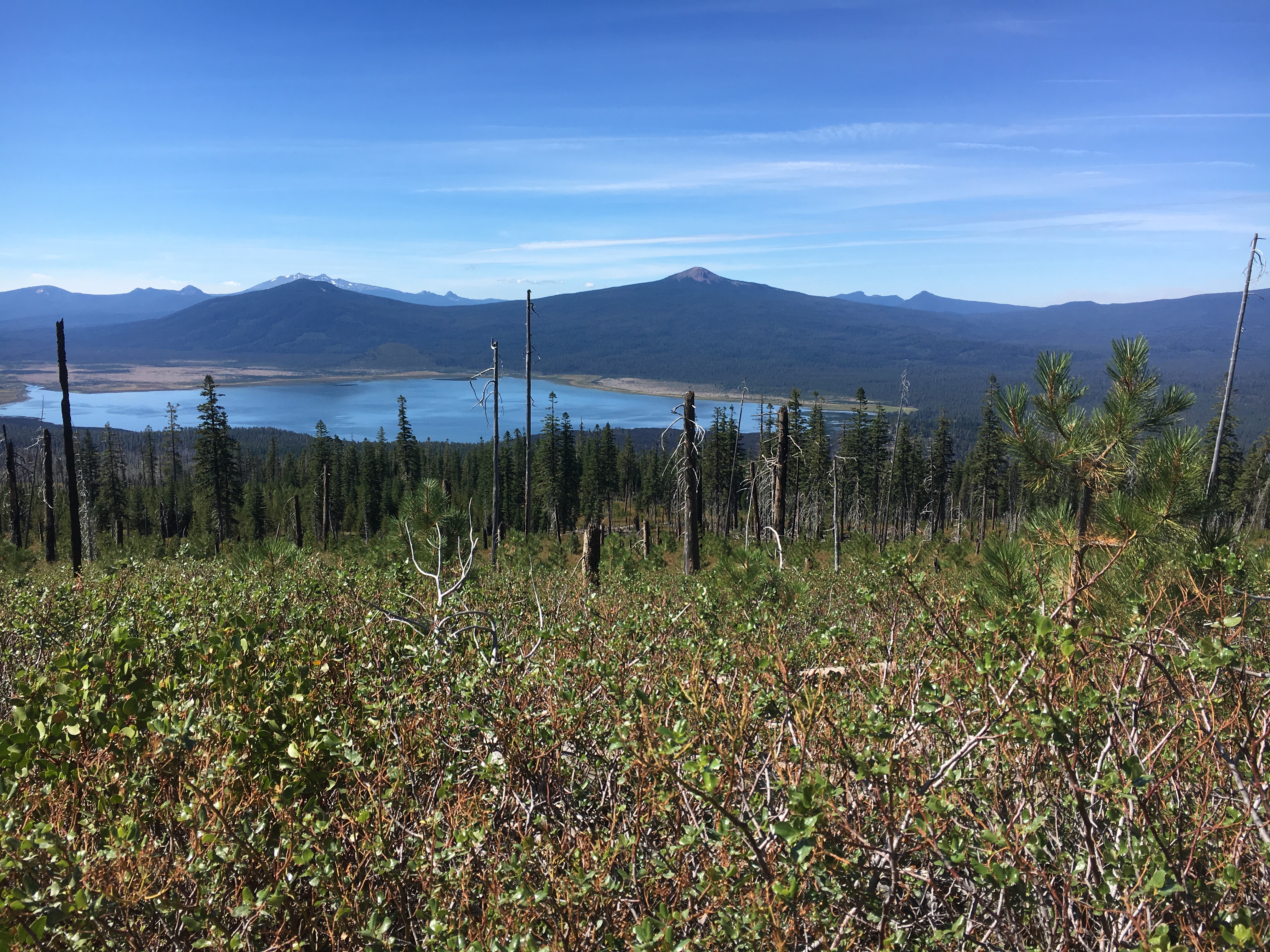
Davis Mountain is a sizable flat top butte on the east side of the Cascade Lakes National Scenic Byway. The six point summit tops out at 6,625 feet asl. It has undergone considerable fire activity in recent years, and the top has very sparse vegetation. It is not very scenic, but the views from the hill top edges of the surrounding valleys are nice on clear days.
The summit can be a drive up if you don’t mind the manzanita scratches (Arizona pin stripes) on your car. It is prudent to pull off before the shrubs close in and hike the mile or so to the summit. It is a fairly easy hike up a road. I took the hike this year!
To get there, go to the intersection of the Scenic Byway and NF-62. Turn east toward NF-62 and travel 2.6 miles. Turn left and go 0.3 miles. Turn right and go another 1.7 miles. Turn right and go as far as you feel comfortable through the shrubs. It is about 1.6 miles to the top, but I wouldn't recommend driving much more than 0.5 miles before turning out and parking. Hike to the top.
The summit has some rejuvenating shrubs and dead tree snags. A mast can be attached to one of these for an antenna mount. That's what I did and it worked fine. There is good internet coverage and no RF interference. I had a nice activation which put me over the needed point total for MG!