Should you want to do this peak, here us the short version. Note that the long version is a cautionary tale.
Get yourself to Henry Hagg lake. Proceed around the lake until you find Scoggins Valley Road. Turn west here and proceed up the road. Note that you bear left almost immediately to stay on Scoggins Valley Road. After about two miles you will come to a gate. There is parking within sight of the gate.
From here you will walk or bike a bit over 5 miles (one way) to the summit. Elevation gain is a bit under 2000 ft. There are two right turns to take off of the main road, SG700 and SG720. At the end of SG720 it is about a ¼ mile bushwhack to the top.
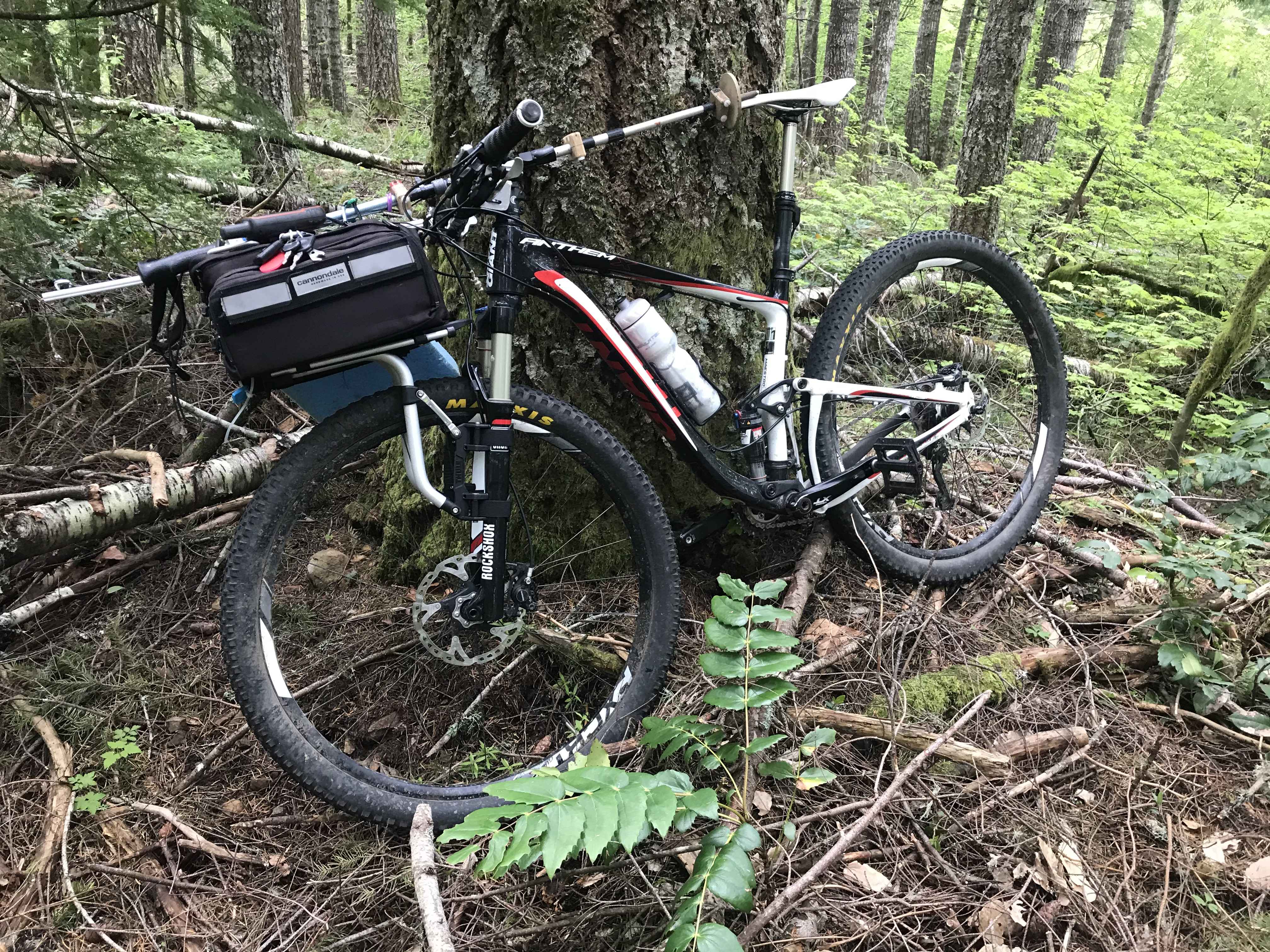
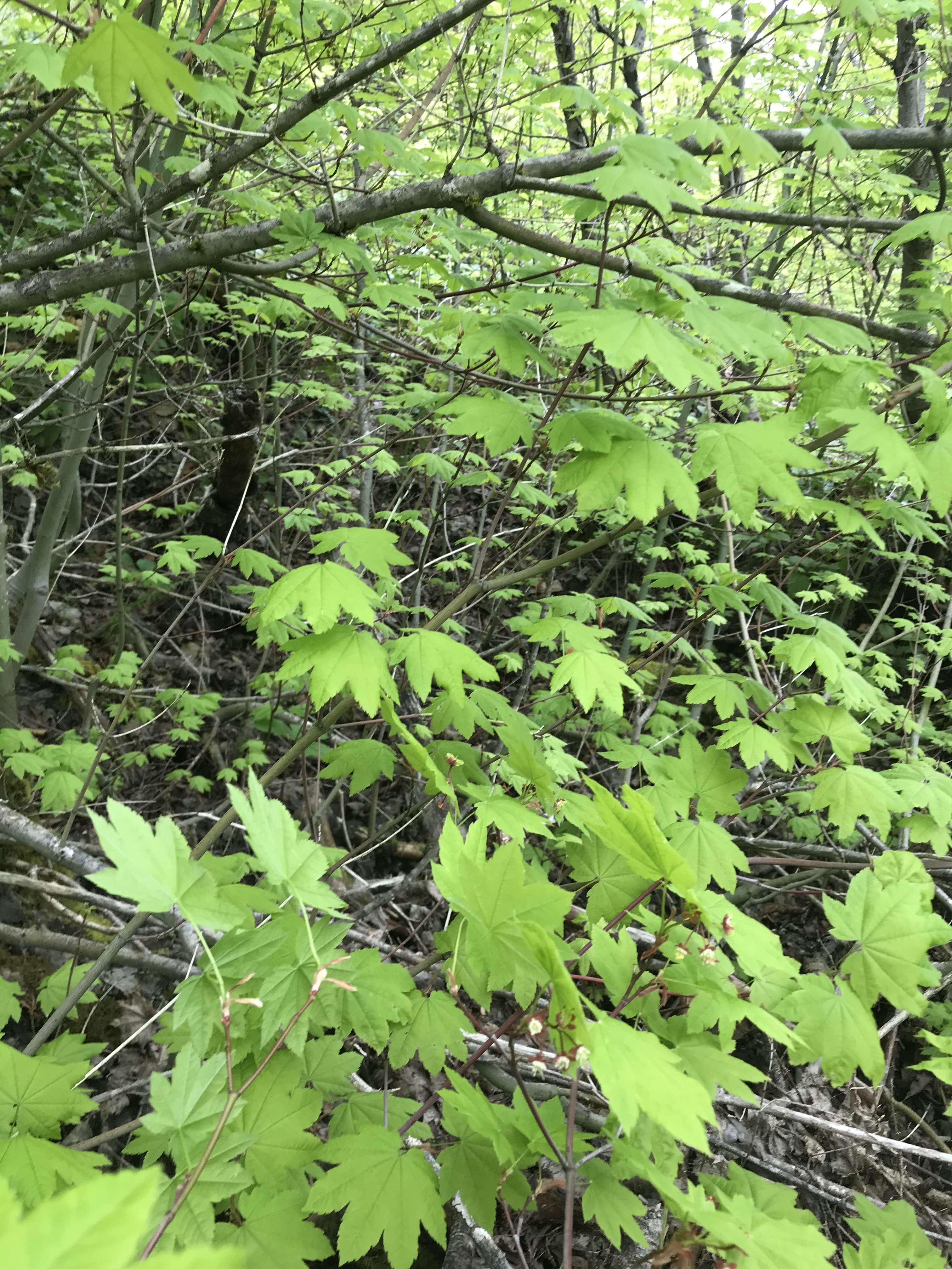
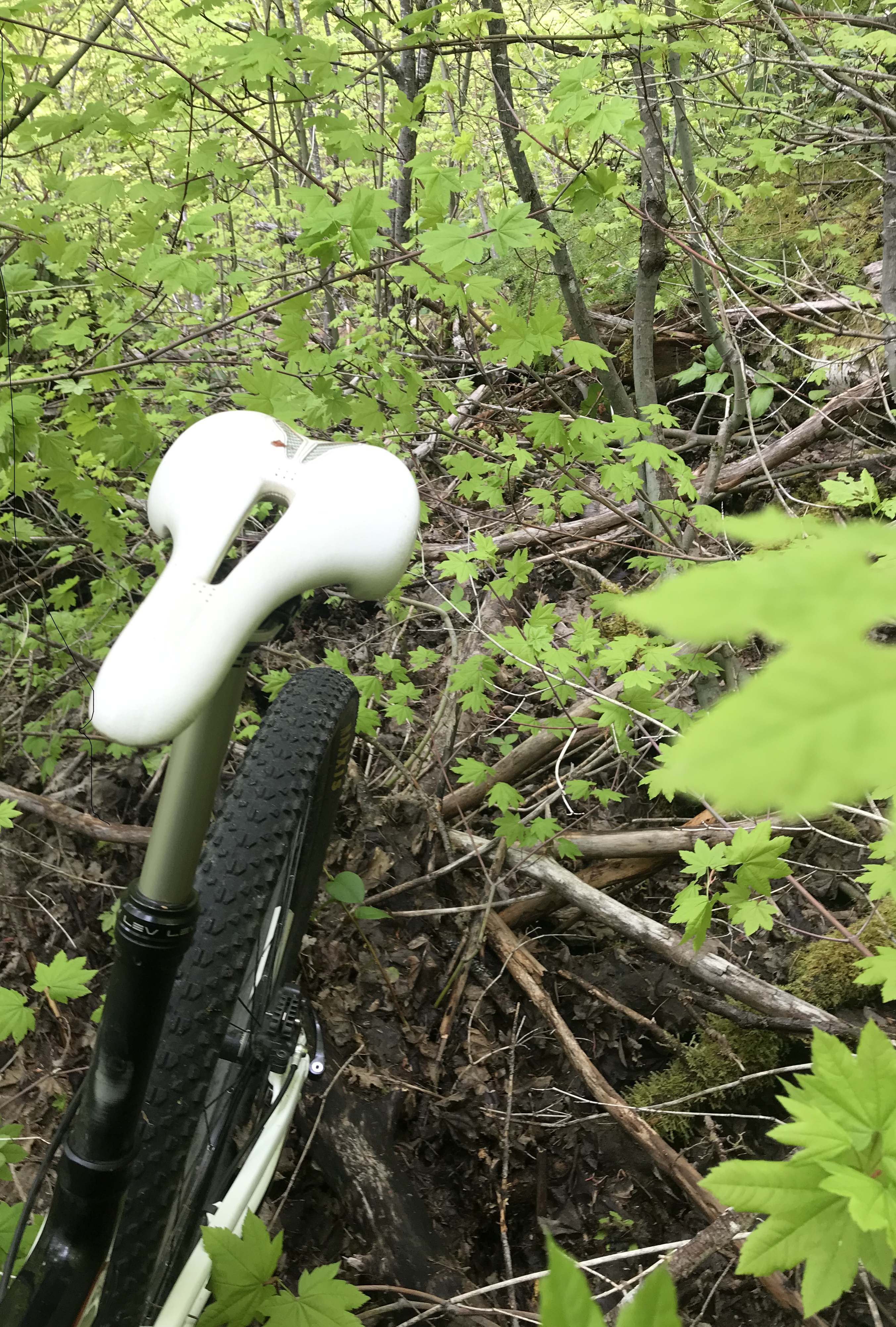
The long version. The first obstacle was the gate. They did a really good job of making it difficult to get around the gate so I had to lift my loaded bike over the gate. I brought my full on 29 inch mountain bike which turned out to be a good choice for the road. It was a nearly constant gradient but had some sections with fairly large size gravel that made the big tires and full suspension a good thing. It never became so steep that I had to hike a bike, and I made it all the way to the end of the road, stopping only to check the GPS. (Really, it was only coincidental that it took the same amount of time to check the GPS as it did to catch my breath.) At the end of the road was an impenetrable mass of foliage. So I turned around and walked back a ways looking for a break. No breaks. Returning to the end of the road I pushed in thinking I would stash the bike and head on up. However, I forgot my day pack and would have had to carry everything. Also, once in, it didn't seem as bad. Some bits of game trail, some zigging, some zagging, I proceeded. I bit further it really closed in. I was wishing I had left the bike. I thought that I could leave it now, but would I ever find it again? Spendy bike and it's a long walk out. I also, nursed the delusion that I might find a trail or even a road down once I reached the summit. I did pass other spur roads on the way up. Maybe one of those snaked around to the top. So I pushed on. I kept checking the GPS to see if I was in the activation zone. I finally made it in a small bit of open ground, about the size of a small bedroom. Thought about activating there, but I could see the ground still sloped up and the trees ahead were taller. Hopefully indicating less dense understory. I pushed on. Finally, it opened up a bit as I came into the taller trees. The slope diminished and I was well within the zone according to the GPS which said elevation was in the zone, though the ultimate summit was a bit further on. I set up. Several folks on summits and I made lots of 2M contacts with them and a few to other chasers. I set up on 20M and was successful there as well. Time to head down. Gotta be easier as I now had gravity on my side. Or at least that was the theory. To start out it was easier, I found what was almost a trail. Perhaps a large elk had run through this way. I was making excellent progress, and then I checked the GPS. I had bread crumbs of my journey up and I had veered too far right in my chasing of the easy path. So I needed to angle back left, hard to do. Soon I was trying to contour around back to my path and then at least at times headed back up hill trying to find clearer ground. Wasn't happening. Soon I was lifting over fallen logs as the vine maples found things to grab onto. Lots of things, the rack, the peddles, the chain, break levers, spokes. At one point they dislodged the bike's GPS from its mount, fortunately I caught that out of the corner of my eye and recovered it. Otherwise surely gone lost forever. Eventually, I could zoom in with the GPS. 800 ft, 200 ft, 80 ft … It wasn't getting any easier, but I was getting back to the road. Eventually I broke out onto the road about 20 meters below the end of the road where I had started the pushing. Hallelujah! I lowered the seat climbed on the saddle and shot back down the road. Hardest one point I have ever done or hope to do. There may be another way up, but if you take this way LEAVE THE BIKE AT THE END OF THE ROAD!!!