Pueblo Mountain with 4x4.
Turn off of the Fields-Denio Road at 42.1447, -118.6038.
Make a sharp left at 42.1346, -118.6350.
Stop driving a start walking at 42.0996, -118.6686.
From that last point it is about 2.2 miles round trip with 2200 feet of elevation gain. It is steep, but not technical at all. Route is obvious, but a GPS is always helpful.
Rumor has it you could also start walking from the sharp left indicated above. You could make it to that point with high clearance vehicle and the willingness to back up for a long way. The road is very narrow and there is no escape to either side. The hike would be farther and the elevation gain substantial. See summit post for more info on that: https://www.summitpost.org/pueblo-mountain/150773
You could also walk the road to the start of either route.
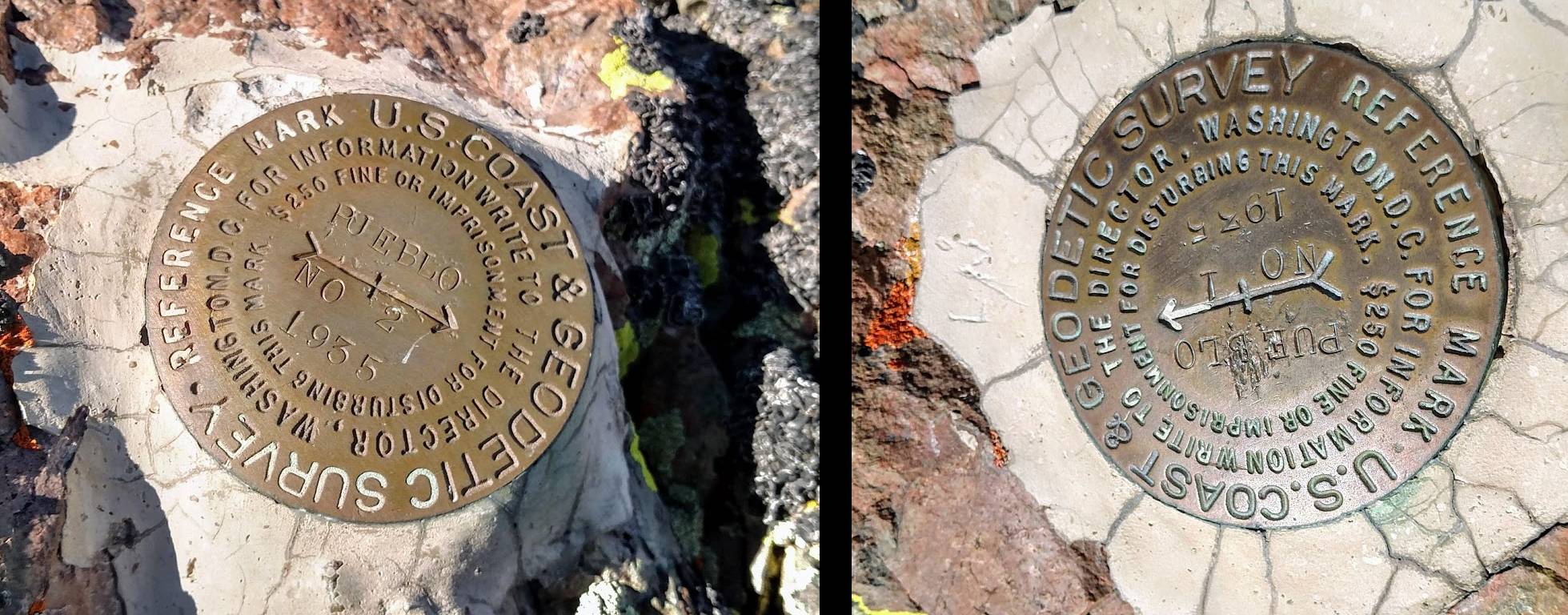
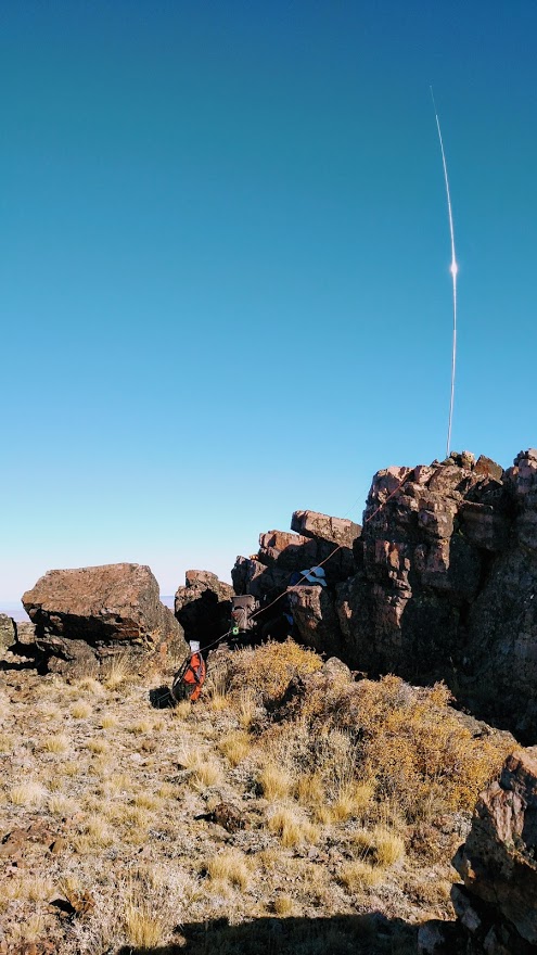
There are lots of rocks on the summit but no trees, so bring your own antenna support. The wind was high when we got there so we found a rock wall just east of the summit and still easily in the activation zone. I used a vertical pitched on top of the wall while I hunkered below. Cell service on Verizon was in and out. Great when it worked, but often it did not. (The mysteries of RF never fail to entertain.). We found two deferential bench marks., “You’re the summit.” “No, you’re the summit.” “ No, no, no, I insist, you’re the summit.”
Final and most important note, I would not try this road in other than bone dry conditions.