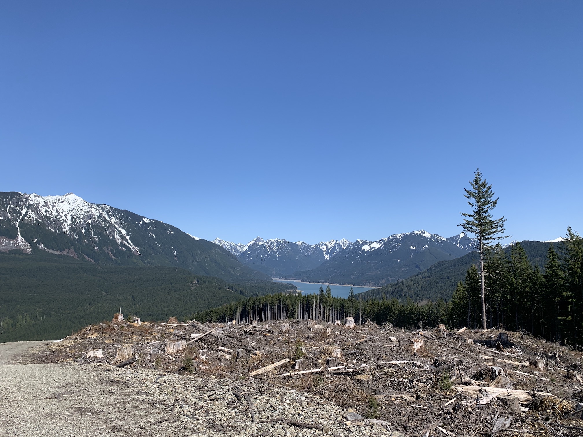
Git Out Ridge is a a 2 point summit located about 5 miles north of Gold Bar. The 6.8 mile (roundtrip) hike begins at Spada Lake and is mostly a walk on a gravel road. About 1/3 of the hike is on an abandoned section of road that goes through the forest. Total elevation gain is ~1300'.
Driving Directions:
Take Highway 2 to Sultan. Take the Sultan Basin Road north. Most of the way is paved, but the last 1/3 of the road is gravel. We went in a Prius and had no trouble - the gravel road is in good shape. Keep following the road until you arrive at Spada Lake Dam.
Parking:
There is a large parking lot at the dam. No pass required as this writing. We had no trouble finding parking on a sunny Saturday morning.
The Hike:
The hike is very straightforward, however you need to pay attention and not pass the spot where you leave the gravel road and head in to the forest. Once in the forest, the trail is easy to follow but a bit overgrown in some spots.
Once you leave the forest section, you end up back on a gravel road which you follow to the summit. We set up our HF in the trees for shade since it was an unseasonably hot and sunny day for April (nearly 80F!). We brought snow shoes, but didn't end up using them. There was still 6+ inches of snow on the road for the final 500' of elevation gain.
GPS Track:
I have posted a GPX track on SOTAMaps. Did you know you can do that? Go to: https://www.sotamaps.org/tracks and select 'W7W' and 'SN' using the drop-down boxes along the top. Then click the 'Display all maps in region' button. This track will also show up on SOTLAS. If you want to upload your own track, you have to do it from here: https://www.sotamaps.org/tracks (track upload not yet a feature of SOTLAS).
Conclusion:
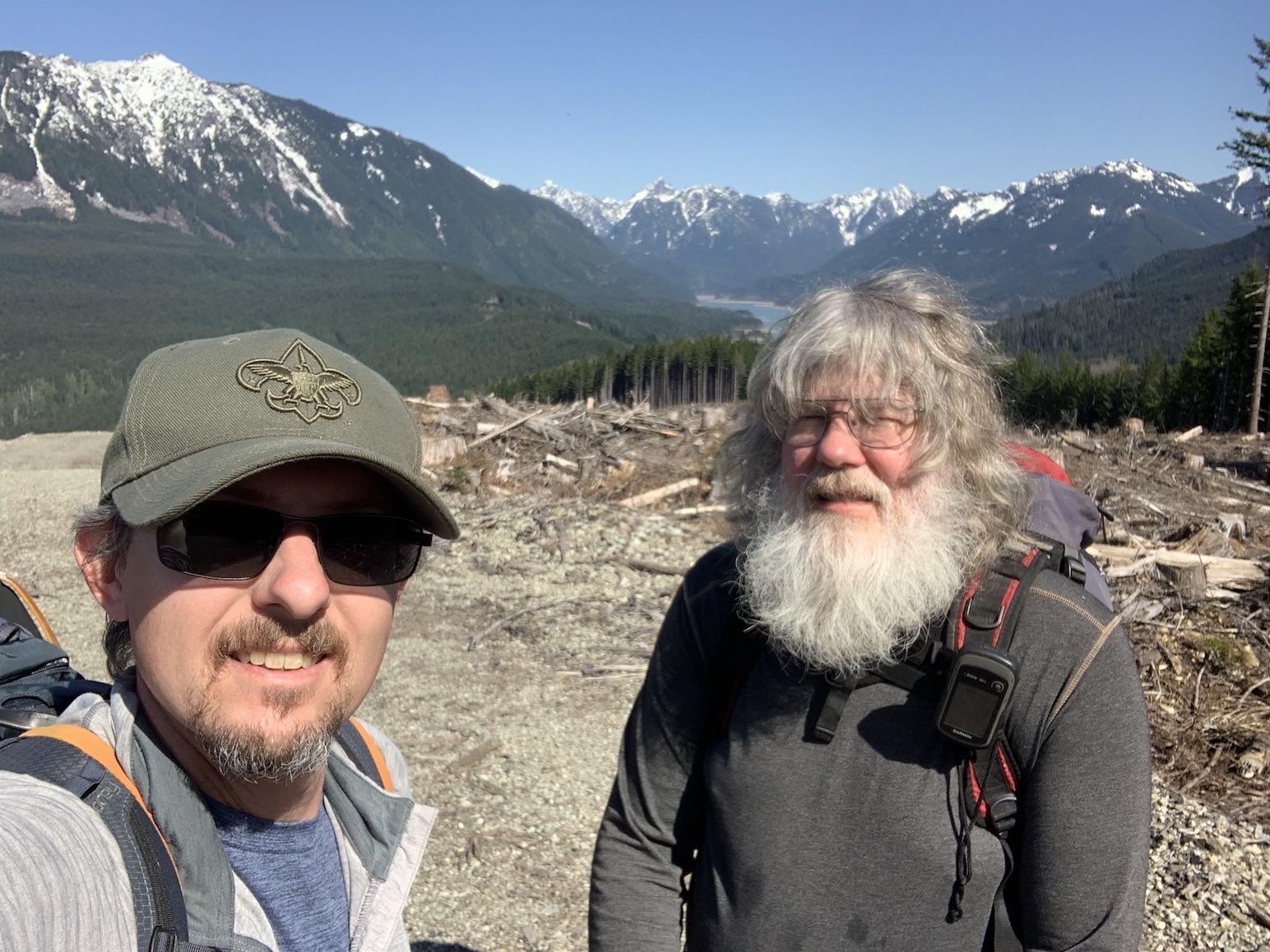
WW7D and I had a great trip. We made something like 15 S2S contacts from the summit, including a bunch of locals. HF conditions were not great, but we still did OK using our usual linked dipole and KX3 (plus several H/Ts for VHF/UHF/Microwave). It was a very enjoyable day playing radio on the mountain. Cell service was sucky (both Verizon and ATT) but APRS worked flawlessly.
73!