W7M/CL-194 Bend Benchmark (0.8 Miles, + 893 Ft)
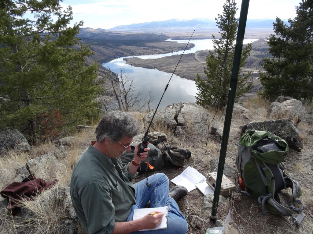
This is one of the finer early season hikes in the Helena area. It is also the lowest SOTA summit in Lewis and Clark County. The path to the top has a fairly uniform grade and generally good footing. The southern exposure allows the snow to melt early, but makes for a hot climb later in the year. The summit offers spectacular views in all directions, with just enough trees to offer shade on a sunny day. The winding bends of the Missouri River and Hauser and Holter Lakes are offset by the limestone cliffs that demark the western flank of the Big Belt Mountains in this area. Be sure to sign in on the summit register.
Directions from Helena:
Drive east on the York Road and park in the turnout on the west end of the York Bridge. Although the hill is gentle enough that it may be climbed directly, there is a path that leaves the west end of the parking area and spirals clockwise up the gully that bounds the south and west sides of the hill. The trail will branch and split, but it works out well if one stays near the gully bottom as it ascends to the ridge crest west of the summit. Follow the ridge to the summit and enjoy the panoramic views.