0.5 miles; + 687 feet
This is a pleasant hike that begins at the historic Greenstone Mine just west of Apex, MT in the foothills of the East Pioneer Mountains.
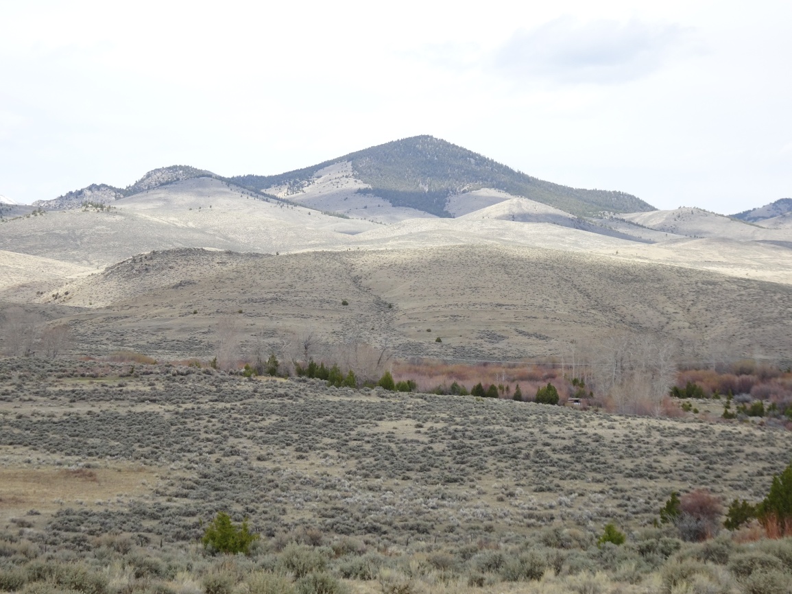
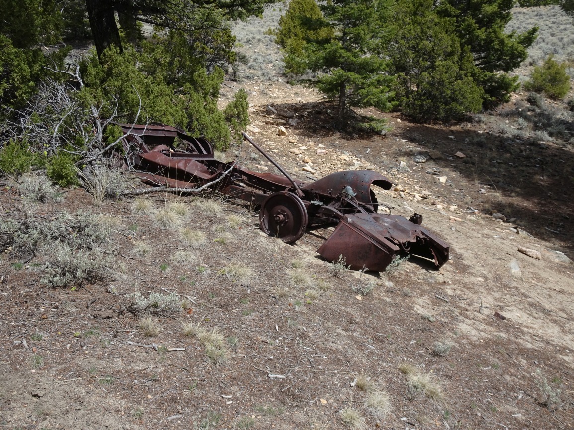
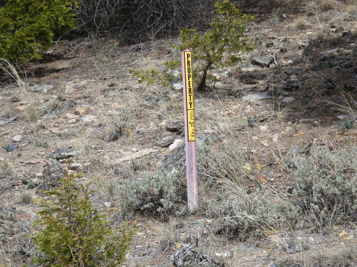
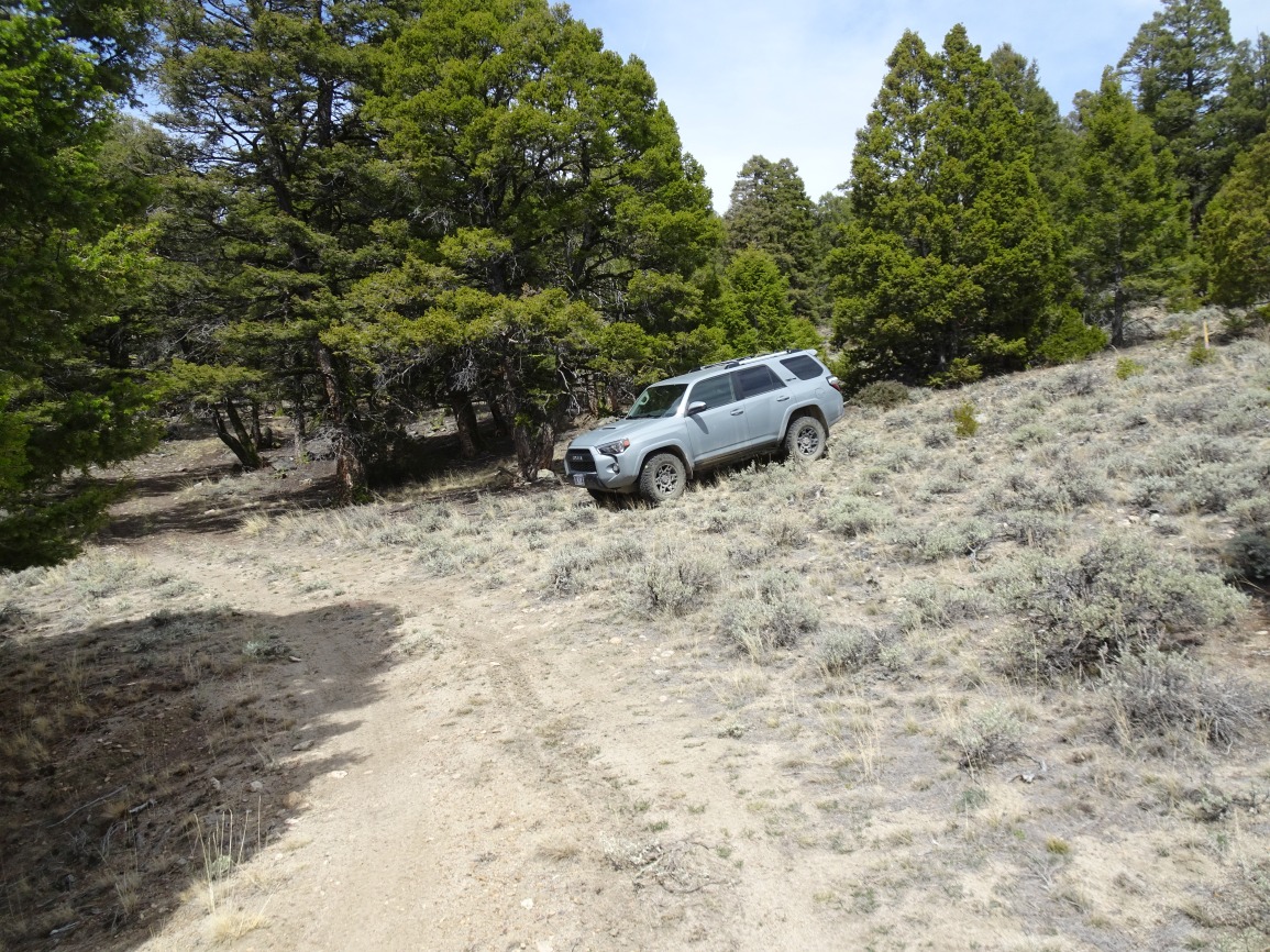
Exit I-15 at the Apex/Birch Creek exit between Dillon and Melrose and continue west on the Birch Creek Road. The road will swing south and then back north, and cross to the north side of Birch Creek. Turn right at about 3.8 miles and then left at the first major junction (about 4.2 miles). The road “Y”’s at about 5.2 miles. We turned right at the “Y” to head up Greenstone Gulch but turning left may also work. 4wd and some clearance was helpful on the Greenstone Gulch portion of the road, but there was nothing particularly difficult or challenging. I used low range, but any vehicle with good clearance should not have any troubles. The road crosses the patented Greenstone mining claim after leaving the narrow confines of the gulch and then crosses back onto forest land. The mine property is obvious due to the historic cabins alongside the road and the waste dumps and old structures further up the hill. The road crosses back onto forest property after passing the frame of an old vehicle on the right and the collapsed walls of an old cabin within the forest on the left. Short brown angle-posts mark the forest boundary. Park after passing the old cabin on the left before the road swings sharply to the right (north) and begins ascending to a collapsed shaft. The mine is the Greenstone Mine, which was a copper-silver mine that was most active around 1903. The name “Greenstone” is presumably based upon the green oxidized copper mineralization on the excavated rocks that are scattered about the mine site.
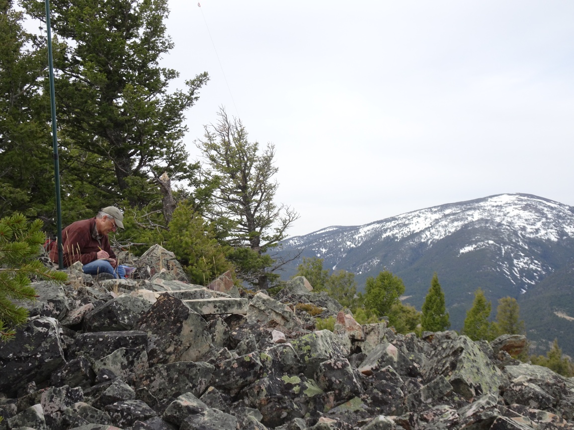
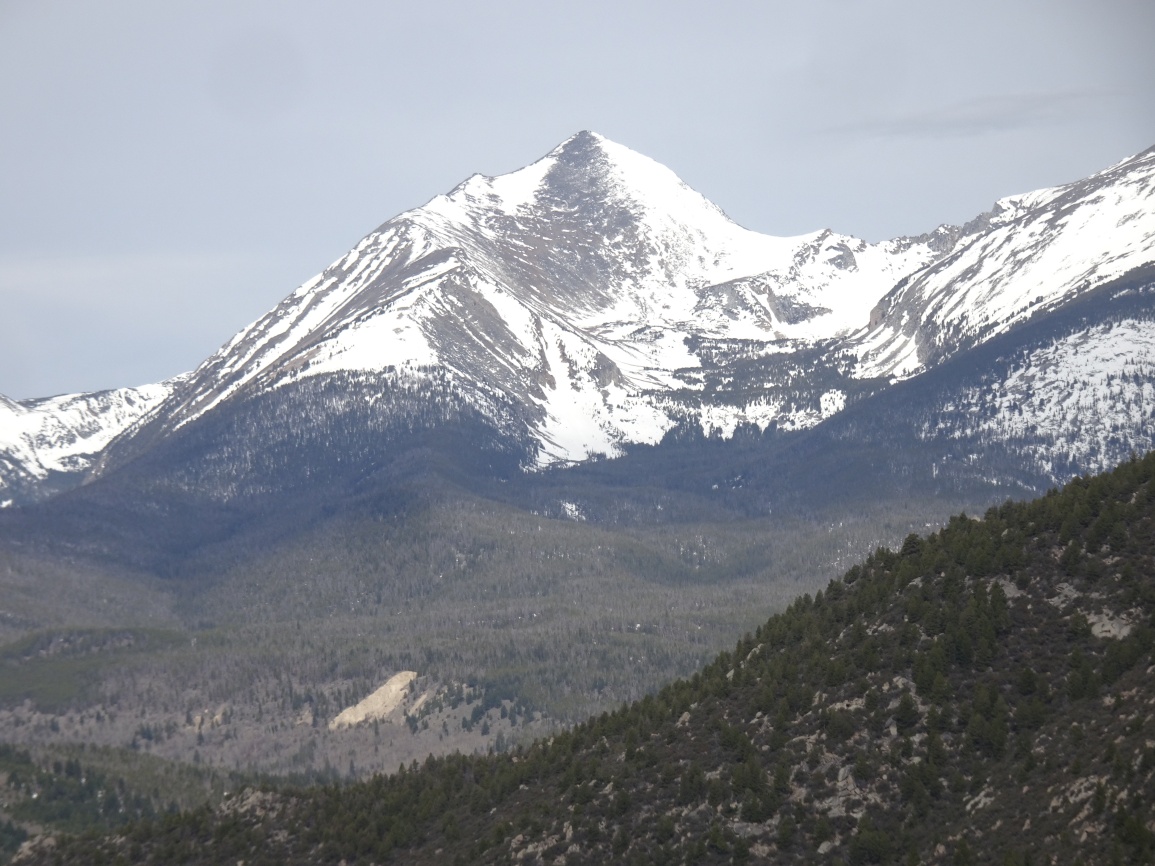
From the parking area near the old cabin, continue following the road to near its terminus at the collapsed shaft, then hike straight up the hill to the summit. The hike up is nicer if you stay to the left (west) away from the private property. The summit has several several small rocky knobs, all of which are within the activation zone. We found that the knob furthest to the north to be quite fine. It had nice views of the craggy East Pioneer Mountains.