After reading K7EEX's warning about Stimson land, I reviewed the maps and Peakbagger reports, and found that a 2.6-mile trail existed starting right from the edge of US 26, up Shields Road, and staying on Tillamook State Forest land for the majority of the trip. In fact, this summit can be activated without ever stepping foot on Stimson land, as the boundary of their land is just a little higher than the activation region, but Stimson has a permissive access policy for non-motorized, leave-no-trace day use, so read their stipulations and head right up.
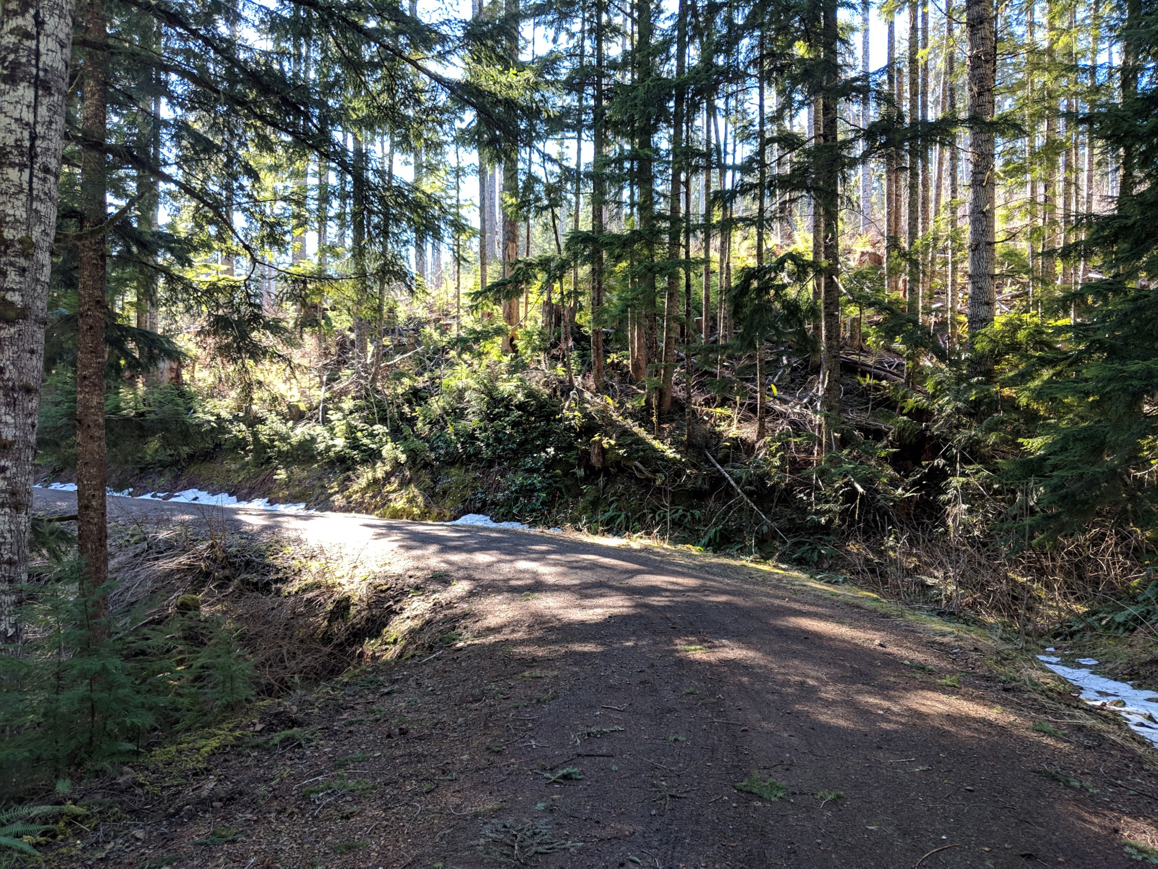
I drove out to the trailhead, about 50 minutes from downtown Portland, and found it a quarter mile before one of the potable water fill stations along the highway. There's a large vee, allowing logging trucks easy access to the road, and a recreational use sign - the sign indicates that the area is often used for hunting, target practice, and especially logging, and asks for people to carry a CB radio to coordinate vehicles, but since I did not expect logging activity I proceeded with caution. After only a few tenths of a mile, however, I came to a bridge followed by a relatively steep grade that was still covered with snow, and I chose not to chance it. I drove back to the best pullout and parked my car, then proceeded up the trail. By May, or earlier depending on the season, this road is perfectly accessible almost all the way to the top and can be accessed as a nearly-drive-up peak followed by a very short, easy walk, with plenty of room to park in the large clearing where many roads branch out near the summit. When I accessed it, a vehicle with a bit more grip and good clearance could have made it; in the summer, my car might have been able to pull it off, but vehicles with any clearance to speak of should be able to drive the road without issue then.
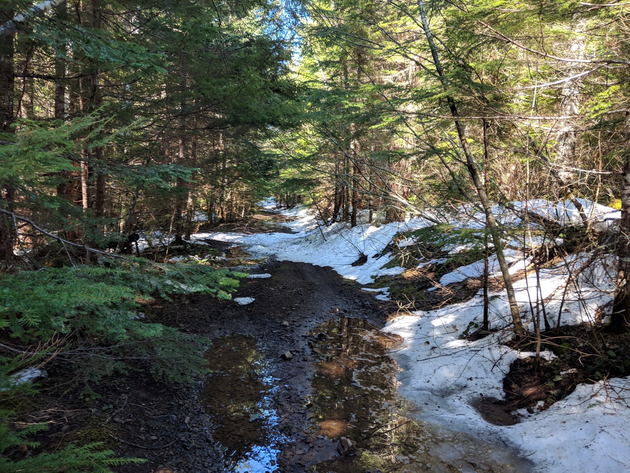
The hike from the intersection with US 26 is pleasant and calm, proceeding past a stream at first, and then climbing out of the valley along the side of the hill, almost always northeast-facing and relatively in the shade. There are a few opportunities for views to the east of the forest, but the only view with any distance is at the summit. I had to posthole my way through patches of snow on the road, and after about halfway up I was clearly the only person or vehicle to have gone up it in some time, although it seemed a bobcat and a deer or two had been there fairly recently.
When you get to the top, a somewhat-overgrown road proceeds west, and when I crossed it it was full of snow-dammed puddles several inches deep, but proceeding further the snow was nearly clear and it turned into a trail-like path. This road is blocked from vehicle traffic and it is not used as a road any more, although it sadly has some trash from visitors. This road is nearly level to the summit, rising only a few hundred more feet, making for a lovely walk.
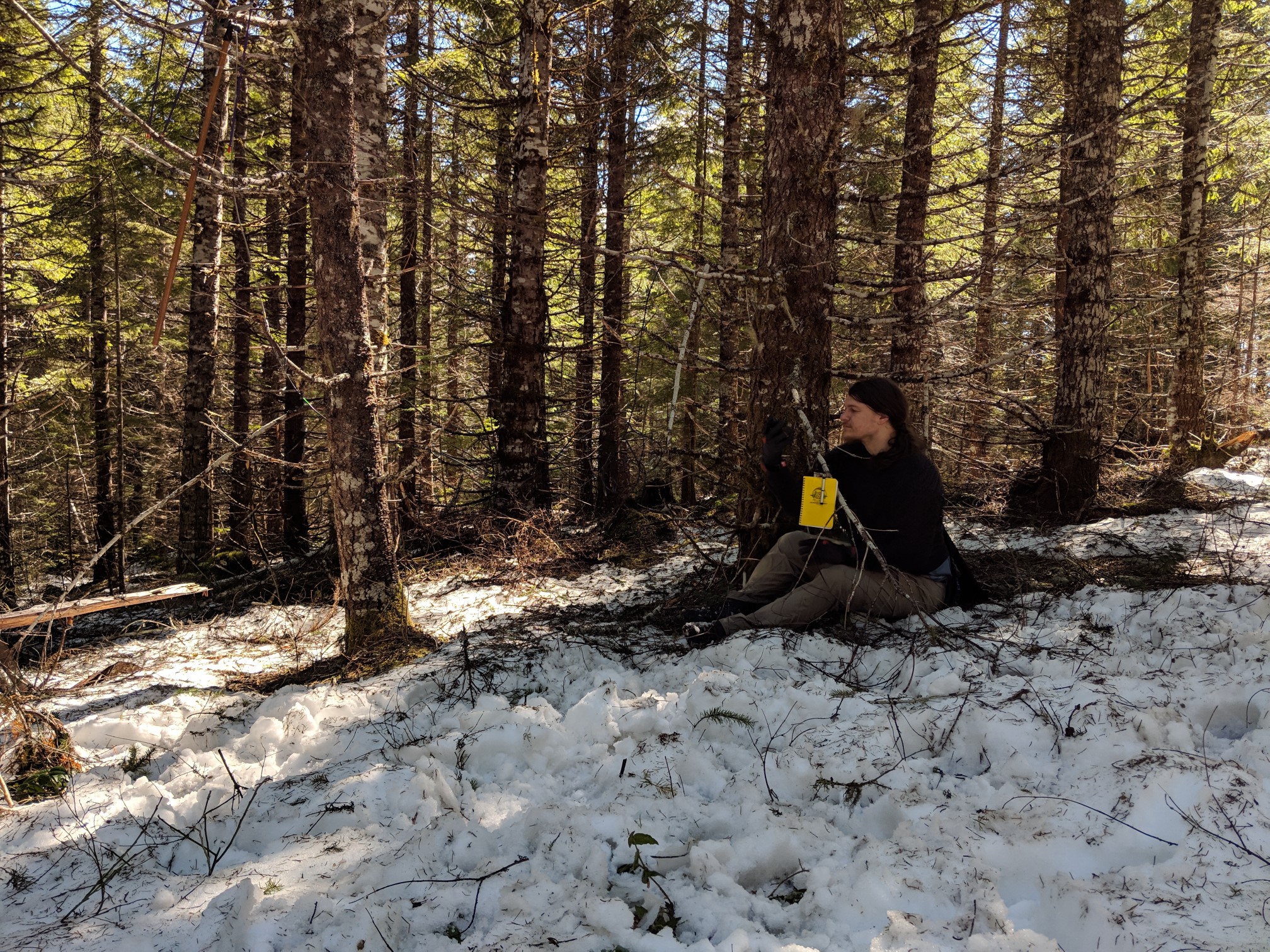
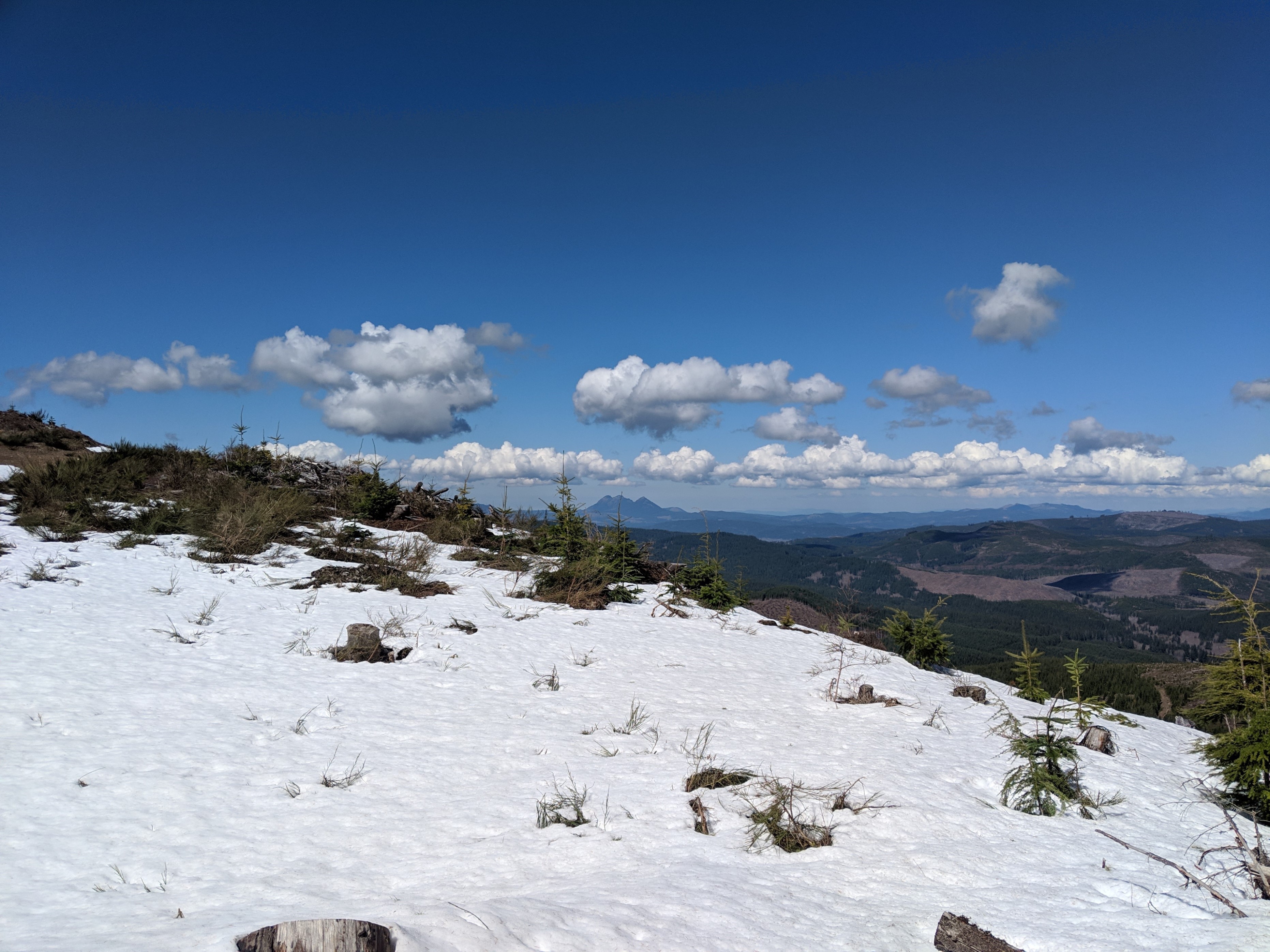
The summit is clear-cut, and has a large barricade of felled wood blocking it from recreational vehicle access, but the forested area to the other side of this barrier still has as good radio LOS to the northeast. I activated in the wooded area, using the trees for support, with clear radio LOS to Portland, Mt. St. Helens, many mountains in the coast range, and other peaks in Washington - this is a very prominent and unobstructed peak, despite being relatively unknown. The summit is in a clearing, and is only a few feet taller than the area where I worked; I believe you can see Mt. St. Helens clearly, and there is a beautiful view of Saddle Mountain, but the footing was tricky for clambering over the barricade in snow, and I decided to head home instead.
I took only a handheld and a 3-element Arrow yagi, and worked entirely on 2m FM. I was able to work a 115-mile S2S contact into the gorge, to Stacker Butte, with WB7VTY, as well as five other peaks including K7ATN, KI7EMX, and KF7HIZ on Mt. St. Helens, and eight other chasers. All in all, it was a fantastic activation and I highly recommend it - easy to hike, reasonably easy to drive, and great for beginners, but it is an active road with active logging activity so be prepared to share the road.