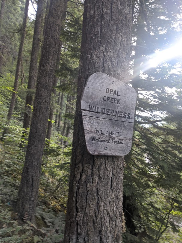
Henline is a relatively low traffic hiking trail in the Opal Creek Wilderness. It boasts rhododendrons, a mostly-well-maintained trail, and reasonably consistent gains. The hike is entirely on public right of way, and can be accessed via North Fork Santiam Road and NFDR 2207 from Hwy 22 out of Salem. Turn left on North Fork Santiam Road about 22 miles from I-5, then drive straight. Eventually this road turns to a moderate gravel road, followed by a fork between 2207 and 2209. Take the left fork and head uphill a ways. You'll pass the more popular Henline Falls Trailhead.
Expect to be behind at least a few people whose experience on gravel roads is substantially less than yours; this is also the way to the extremely popular Opal Creek Trailhead, a beautiful hike I have not had the pleasure of doing, but which also generated an amount of traffic I've never seen on a gravel road of this low quality, RVs and sedans weaving around small potholes with the grace of a walrus on land - but I digress!
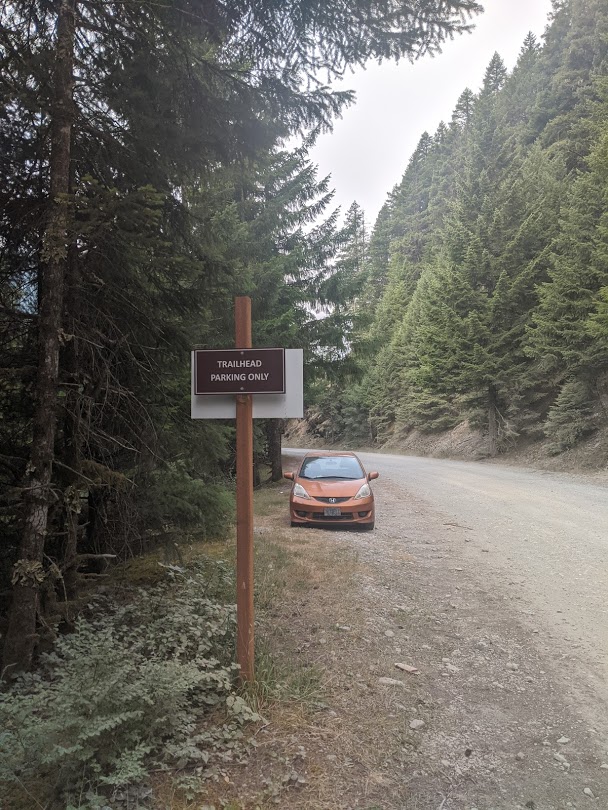
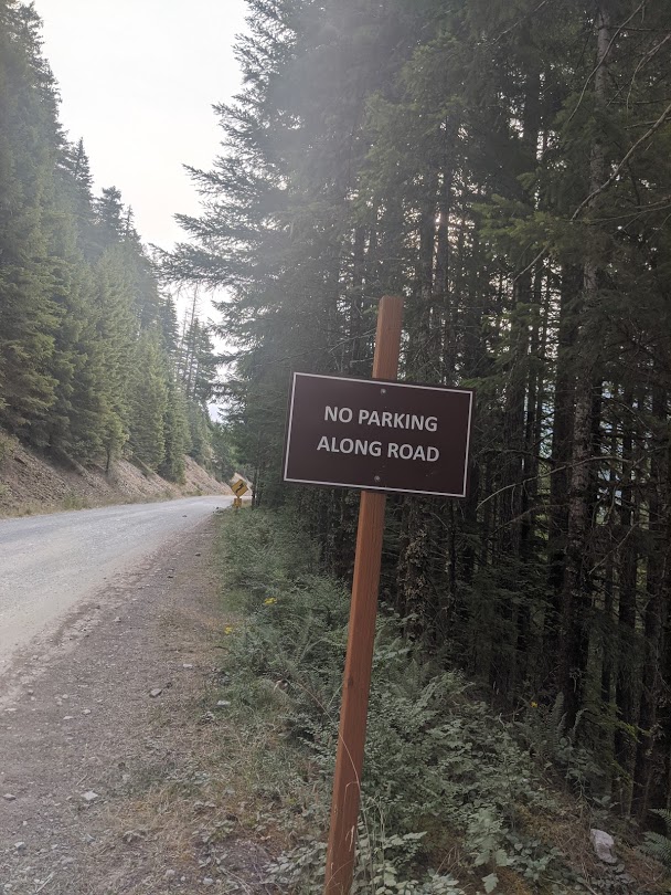
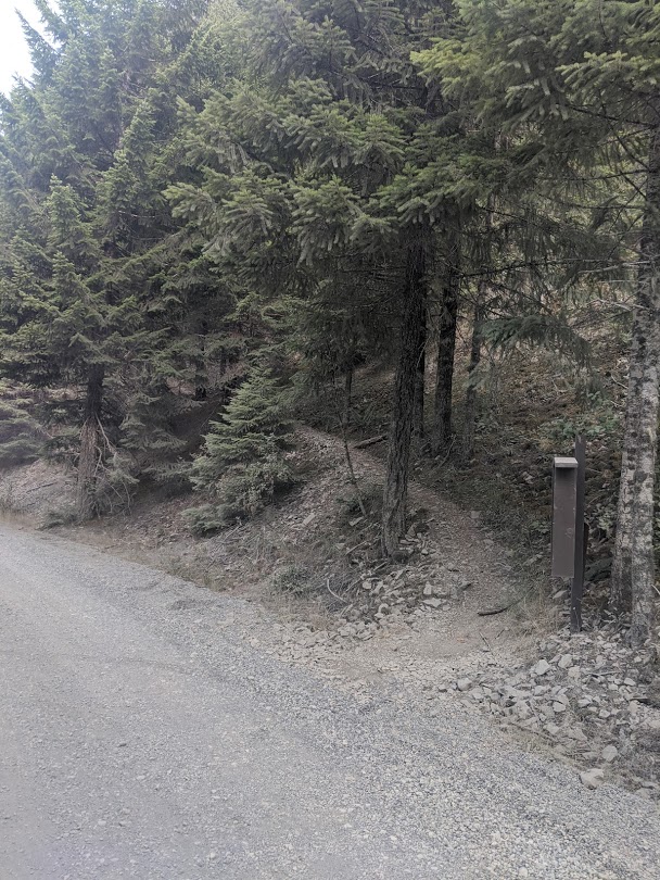
You will eventually get to the trailhead. Google's reported position for "Henline Mountain Trailhead" is off by at least an eighth of a mile; CalTopo's trail markings come out at exactly the right place; 44.8425, -122.3094 is the trailhead. On the south side of the road, there are signs marking "Trailhead parking only" and "No parking on road"; between these signs is the parking area for this trailhead. The trail has a little notifications hut; normally it probably requires both a forest pass and a self-serve trailhead wilderness permit, but currently neither is required.
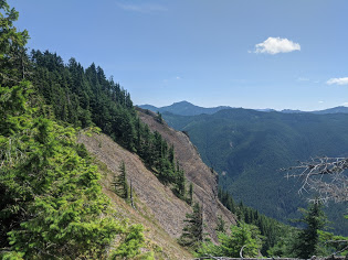
The hike switchbacks up the first 2000' pretty gently, typical of a well-built trail; only in two places do you cross a rock field, and the trail is well-established there. Above the lookout, the "false summit" near 44.8544, -122.3130, the trail has a few fallen logs and probably continues to be less-well-maintained throughout the year. This trail has steeper sections but remains a clear and well-defined trail all the way to the summit.
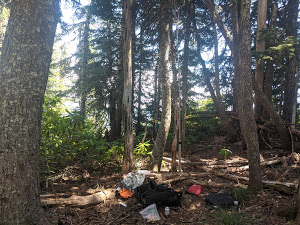
The summit is shaded but has an open area below the trees to operate in; it also has some small clearings suitable for operating in. The summit has almost no view, but there are views of Nasty Rock and the associated Burnt Mountain SOTA peak, as well as direct views on the climb of Rocky Top.
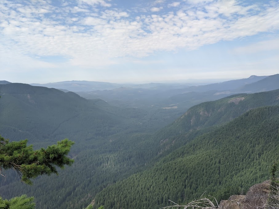
This is an absolutely lovely hike, with some opportunity for clear views of the North Fork Santiam Valley, and a comfortably worn trail, but it is a long hike, and there is no singular view I recommend it for. If you enjoy a good hike, a handheld with a good antenna would probably get you an activation, but the same could be said for nearby Rocky Top.