Summary:
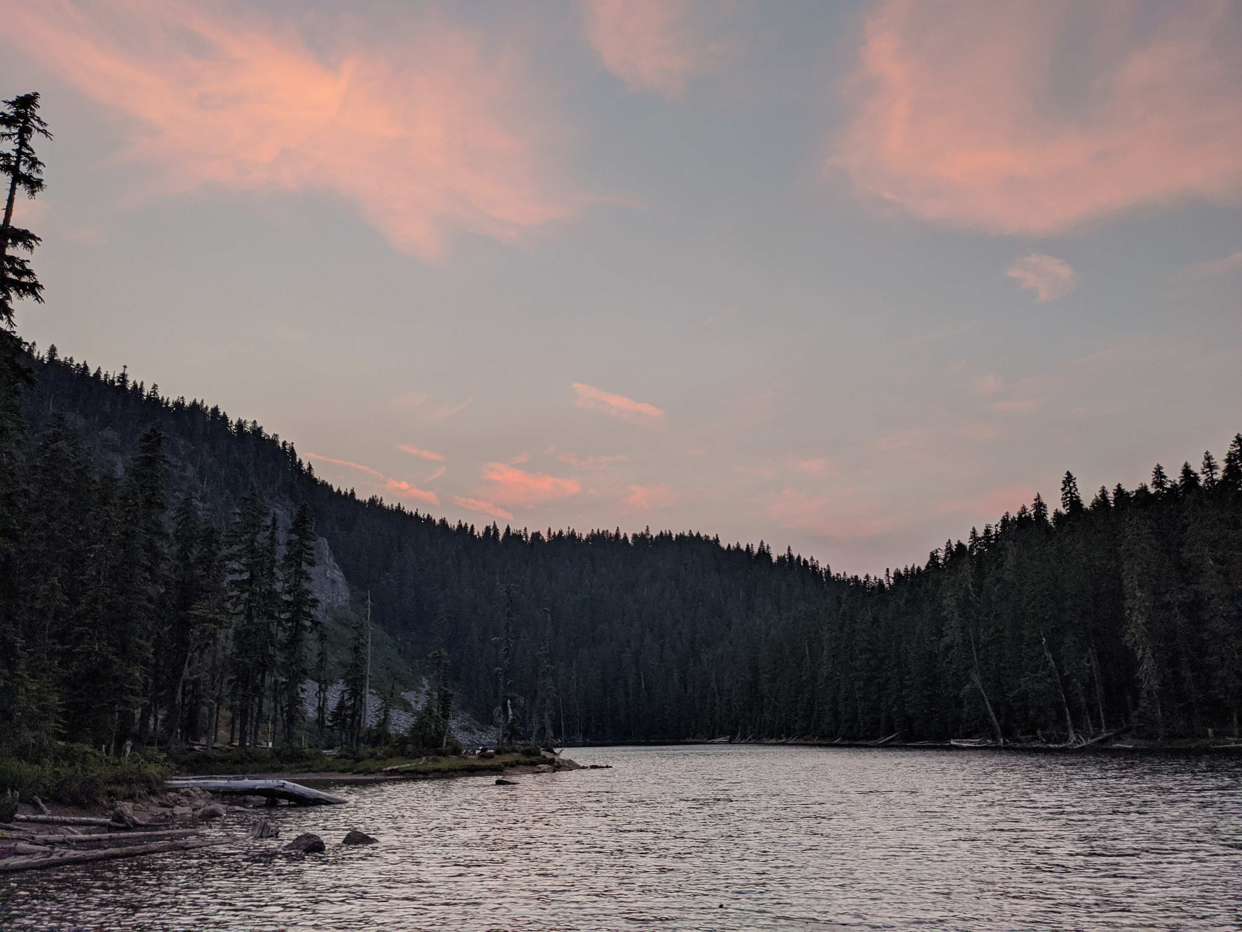
Gifford Peak is a forested summit above Blue Lake in the Indian Heaven Wilderness. This area is a popular destination for day hikers and backpackers, directly on the Pacific Crest Trail, so be prepared to meet crowds any day with good weather. The lake can be approached from either Falls Creek Horse Camp or the Thomas Lake Trailhead. Once there, take Thomas Lake Trail to the northwest corner of the lake, and proceed up the ridge off-trail. The ridge is pronounced and easy to follow to the true summit.
Getting there:
From Oregon, take the Bridge of the Gods to WA SR-14. Turn right to head east, to the roundabout for Wind River Road. Head north six miles to Old State Road and take a right, then an immediate left onto NF 65. Head up to Falls Creek Horse Camp or Thomas Lake Trailhead, 15 to 19 miles in. At the time of writing this,
The hike:
From Falls Creek Horse Camp: hike in to the sign from either trailhead, then take a left. Do not go straight, cross the creek, and start heading up the hill; if you do this, you will either turn around or find yourself with two extra miles on the PCT. Instead, hike in about a mile, at which point you will lose the trail. I hope you have a GPS, because you will spend the next mile criss-crossing it, trying to find it on the basis of where your GPS claims it is. You will find it, you will lose it, you will find it again, and then you will climb 500' quite steeply thinking, "oh, look, a trail! wait ... oh, look, a trail!" Needless to say, it was an experience. Turn left, north, on the PCT, and walk a mile on the most pleasant trail you think you've ever seen.Turn west on Thomas Lake Trail to skirt the edge of Blue Lake, and turn left again to take the ridge. 3.75 mi to the base, 1600'.
From Thomas Lake Trailhead: follow Thomas Lake Trail, a lovely, well-maintained hike with smooth and gentle gains to the lake plateau, then a lovely flat hike to the end. 2.5 mi to the base, 600' gain.
Clearly, I have opinions. I'm sure you can guess which one I did.
From the base, at about 45.9867, -121.7990, head west up the hill. There is no real trail, but a user trail clearly leaves Thomas Lake Trail in that direction before fading out of sight. Simply follow this ridge up the hill, no problem. Once near the summit, you will skirt a pile of rocks, and the glimpses of a user trail will turn into an obvious foot track from previous users, stamped into the soft volcanic soil. 500' from the base, and if you came from Falls Creek, substantially more pleasant than what you did to get there.
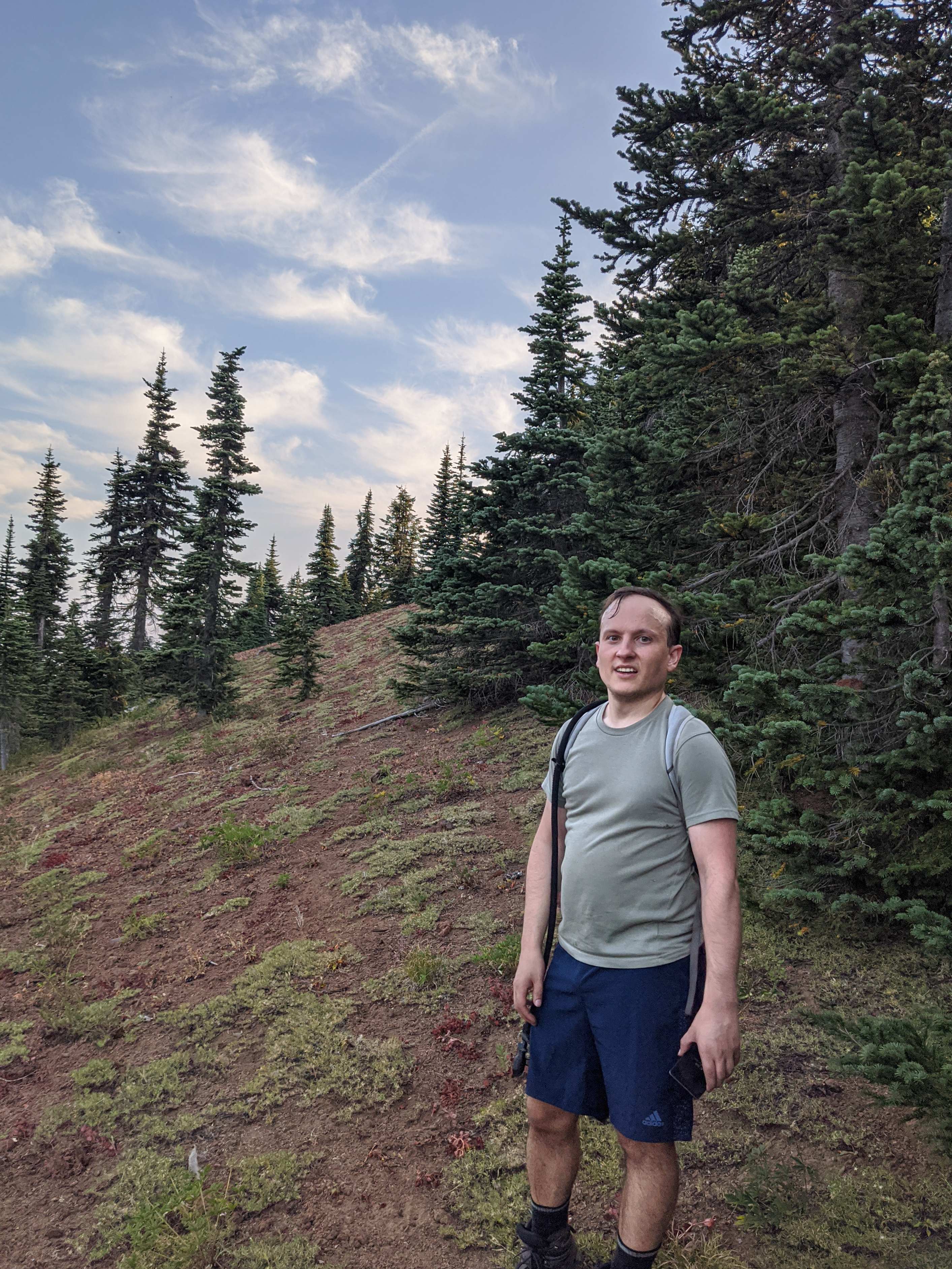
My activation
I took 2m and 20m radios. On 2m, a broken EFHW whip was enough to get some contacts in Portland, even at 6 in the evening on Friday, but I think I was below most people's squelch. On 20m, the AX1 proved too much for the connector on my radio; I shoiuld have brought a short jumper cable. I snapped the connector clean off the outside of my radio, before my first activation on my first of three planned peaks on a long weekend. Sigh.
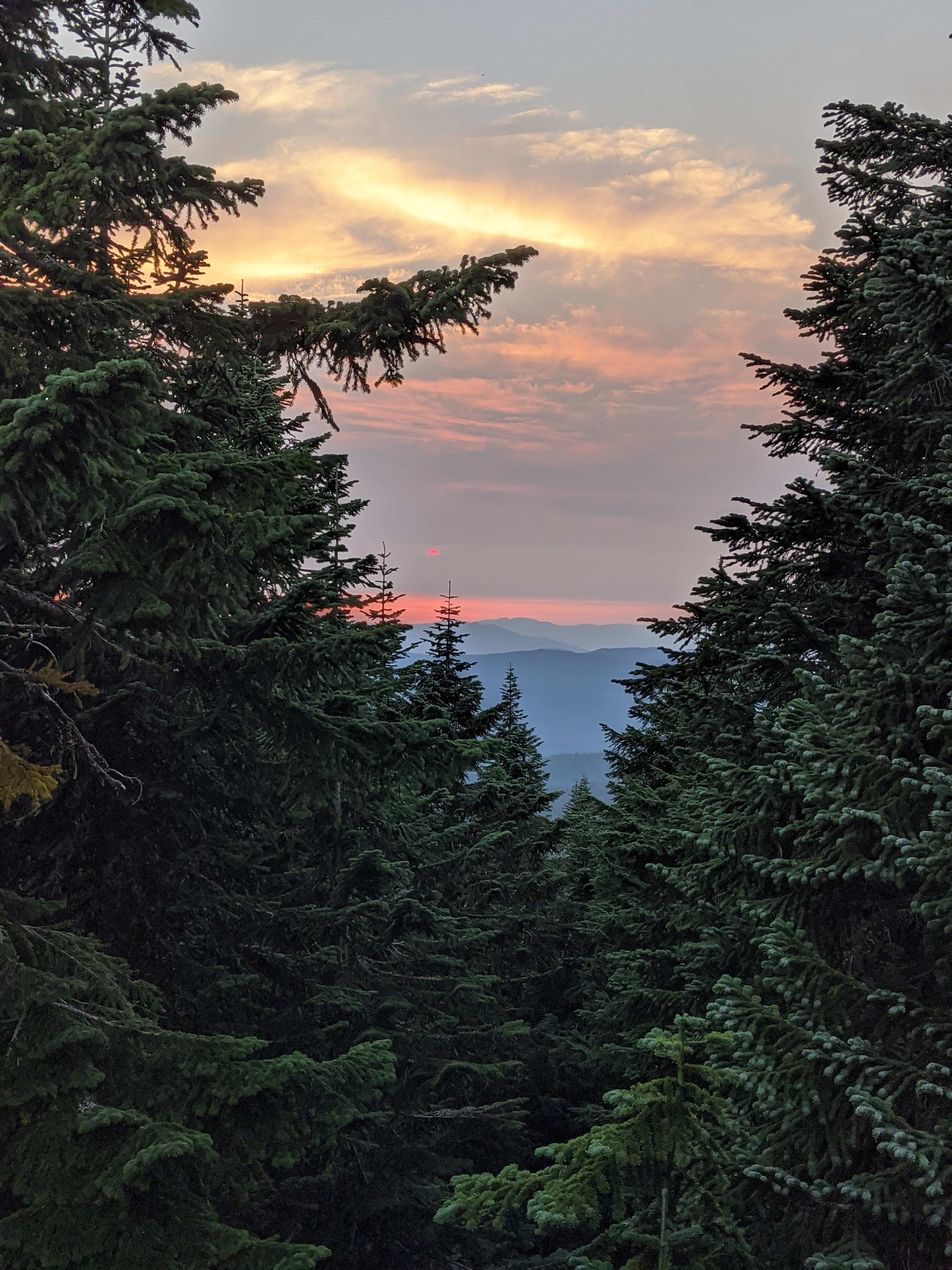
These would be easier on HF, but a yagi or even an EFHW on 2m will probably be enough to get you into Portland. Mid-day on a Saturday, you will get lots of S2S from this peak even taller than popular Red Mountain. You can get good views to the east, southeast, and west, but you might have a hard time seeing in some directions, particularly southwest and north.
This was one of three activations done on a trip that started by backpacking to Blue Lake, and I went up Gifford with a friend that night. See my follow-up adventures on Lemei and nearby East Crater.