Beacon Rock is an 848-foot basalt column (860 feet ASL) that formed the core of an ancient volcano. It is located in a Washington State Park of the same name about one hour east of Portland, Oregon.
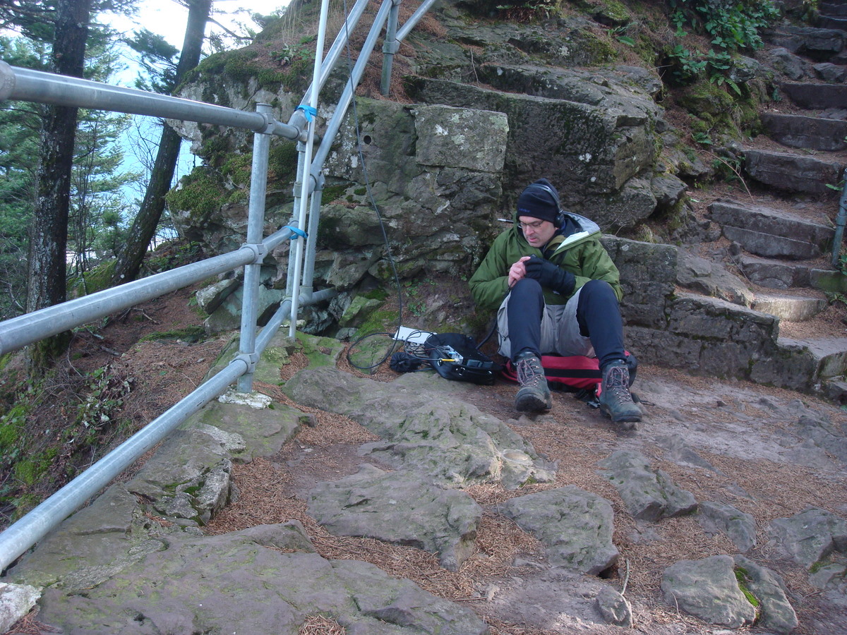
The hike is not particularly strenuous or rough. The summit area is small - perhaps 4 meters by 6 meters. The trail is very popular on fair weekends and can have strong winds and still a few visitors even in poor weather. As the hike is popular you might choose to set up on the first switchback down from the summit in order to leave the summit for those wishing to enjoy the view. (Headphones might also allow others to enjoy any quiet ambiance.)
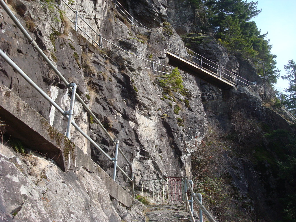
A railing might be used to secure an antenna (visible in the photo below). The summit is heavily treed and the slopes are steep - it may be difficult to erect large antennas - verticals may be easier to set up. Note that there is a $10 fee for day use parking at this site or an annual Washington State Discover Pass - make sure that you display a current pass as citations are generously doled out.
Because Beacon Rock is below the rim of the Gorge, it may not be an easy reach into metro Portland using 2m FM, alghough you might catch mobiles on 146.52 passing through.
See also: http://www.wta.org/go-hiking/hikes/beacon-rock
And also: http://www.wta.org/hiking-info/basics/hiking-basics/passes-and-permit-i…