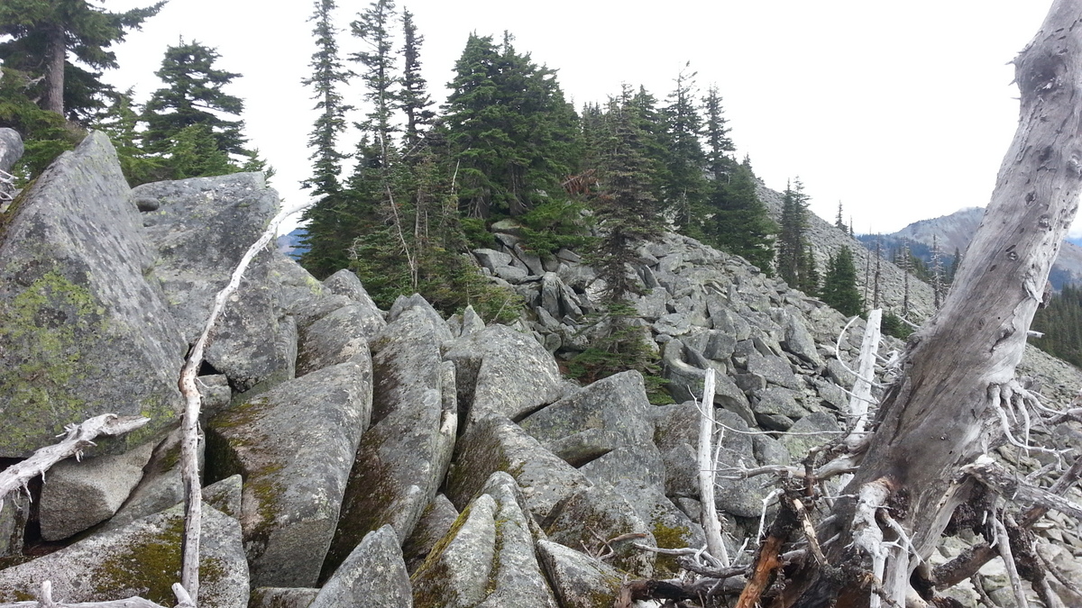
ViewVoting details

Bandera Mountain, WA | Nov-2012

K7ATN's picture
Summit: 
W7W/KG-073
Voice Cellular Coverage: 
Decent, workable
Data Cellular Coverage: 
No service at all
Cellular Provider: 
T-Mobile
APRS Coverage: 
Good digi echos

Lots of folks have written about climbing Bandera Mountain – but very few go past the false summit at 5157 feet. The final half mile and 100 feet of elevation gain to the summit took me almost an hour – difficulties with route finding and boulder hopping might put Bandera into the “Not Recommended” list for some Activators. You might consider nearby Mount Defiance as it should be an easier six points.

From Seattle: Go east on I-90 and take Exit 45 and turn under the freeway. Follow the road and turn left at a branch after about half a mile and continue on a traverse for another three miles or so to the trailhead parking lot. The road can be driven by any passenger car. The elevation is about 2,100 feet. A Forest Pass is required for parking.

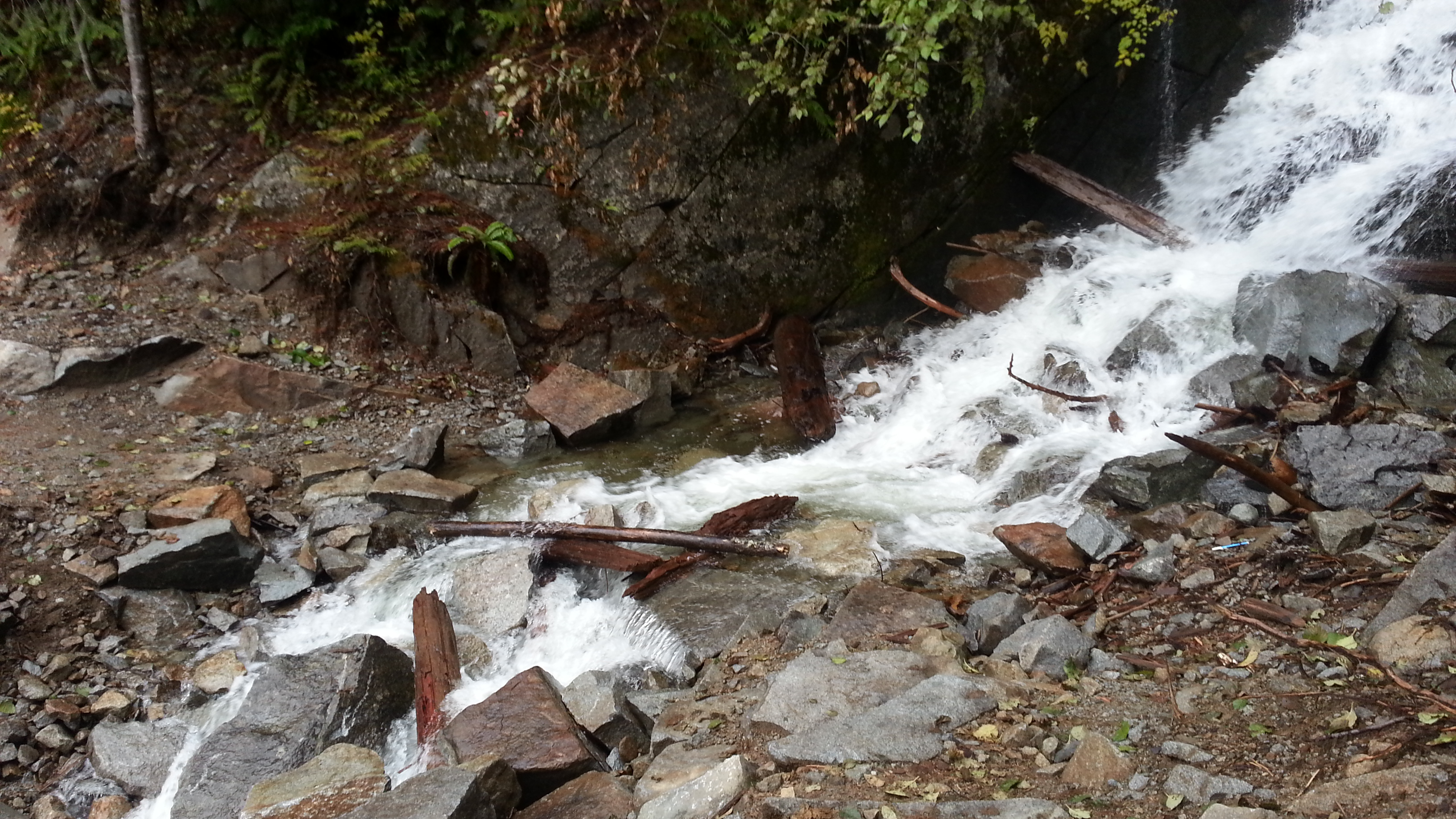
The total round trip hike is just short of nine miles and 3100 feet of gain. Take the Ira Spring Trail to the junction for Mason Lake and Bandera Mountain. Here the Bandera trail turns into a staircase – about 1100 feet are gained in the next third of a mile. If you think it’s hard going up, think what it will be like on the way back. (You could still do Defiance instead.)  And I was happy to have poles with me to cross the creek pictured below.

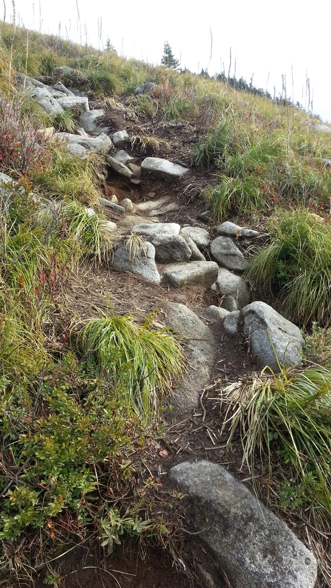
The trail continues along the ridge to the false summit at 5157 feet. From here things get a bit tricky. I could not reliably find the trail to continue past this point. My definition of bushwacking means crawling under trees – in this way I eventually found a faint track leading along the ridge towards the true summit half a mile away. In many places you need to boulder hop on the large granite rocks – despite it being a dry day I found some of them quite slippery. Since there are several saddles between 5157 and the summit at 5240 I needed to be within about a tenth of a mile of the summit to be in the activation zone.

The weather for November was looking to be dry and I had sun and a great view of Mount Rainier on my way up. Unfortunately the trees and brush I was pushing through on the last bit of trail soaked me in short order, and then the clouds came in, the mountain went away, and a chilly breeze came up. I worked nine stations total on 17m, 40m and 30m before I decided I couldn’t be shivering and safely cross the boulder fields back to the main trail. The faint track I had followed on the ridge was perhaps nothing but a game trail as I lost the trail and found it perhaps a dozen times on my way back to the false summit. I recommend that you not go alone and use a GPS to find your way to the summit and back and not rely on memory or a trail. This was the most challenging SOTA activation I’ve done to date – Mount Defiance was looking pretty good as I headed down, but I no longer had enough time for a second summit that day. 


Pictures: 
Creek to cross on Ira Spring Trail
Bandera Trail or perhaps, Bandera Staircase
Bandera Mountain summit