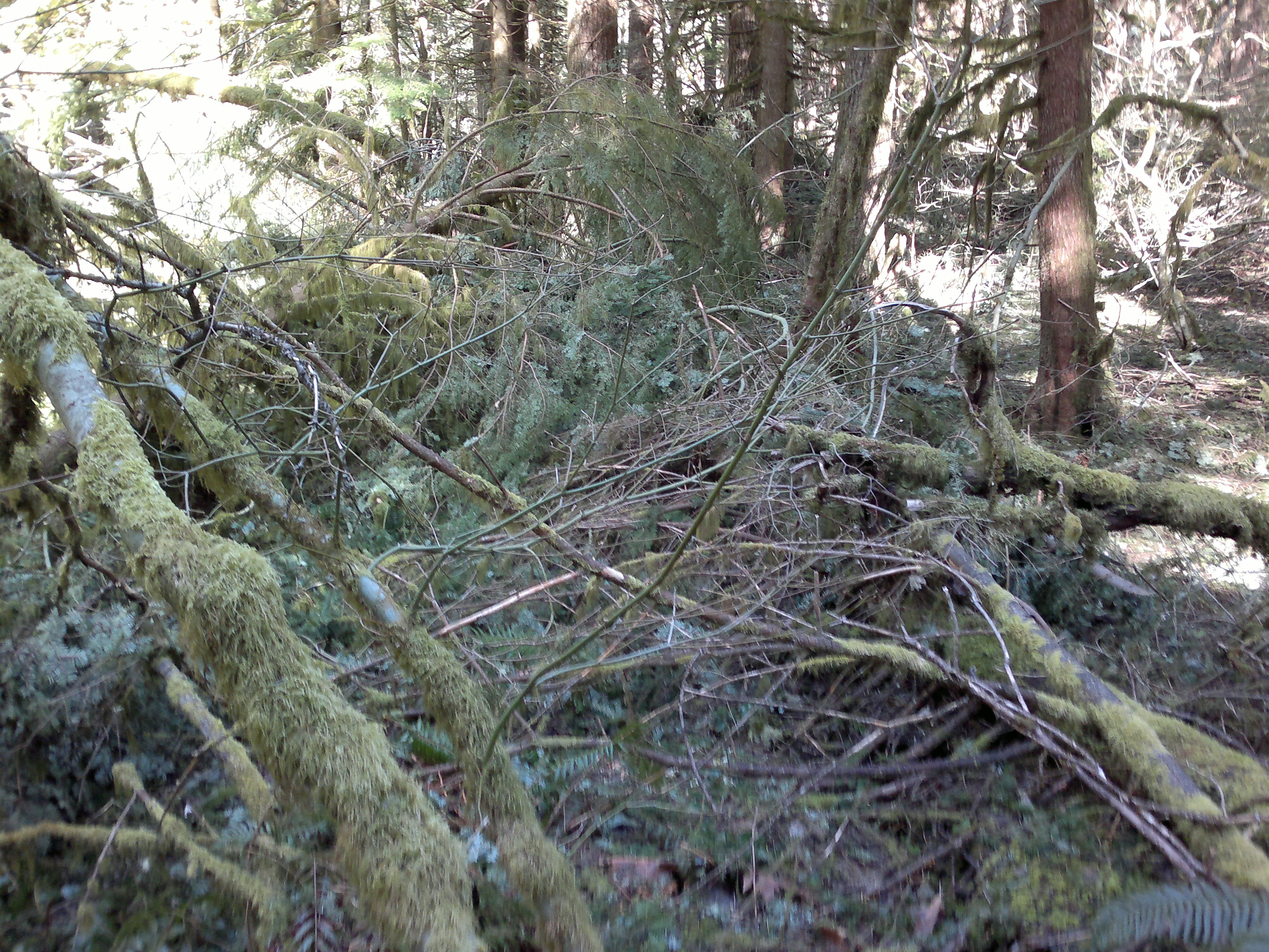
The trail was difficult at this time of year with significant blowdown from an ice storm in February. I actually turned back twice but then decided to give it one more try. (Well, two more.) The attached photo shows the obliterated trail - the blowdown went on for almost a mile. I also hit continuous snow at 2200 feet (Augspurger tops out near 3700). I eventually lost the trail again in the snow kicking steps and then was postholing for about an hour. I ended up being an hour and a half late to my activation altogether.
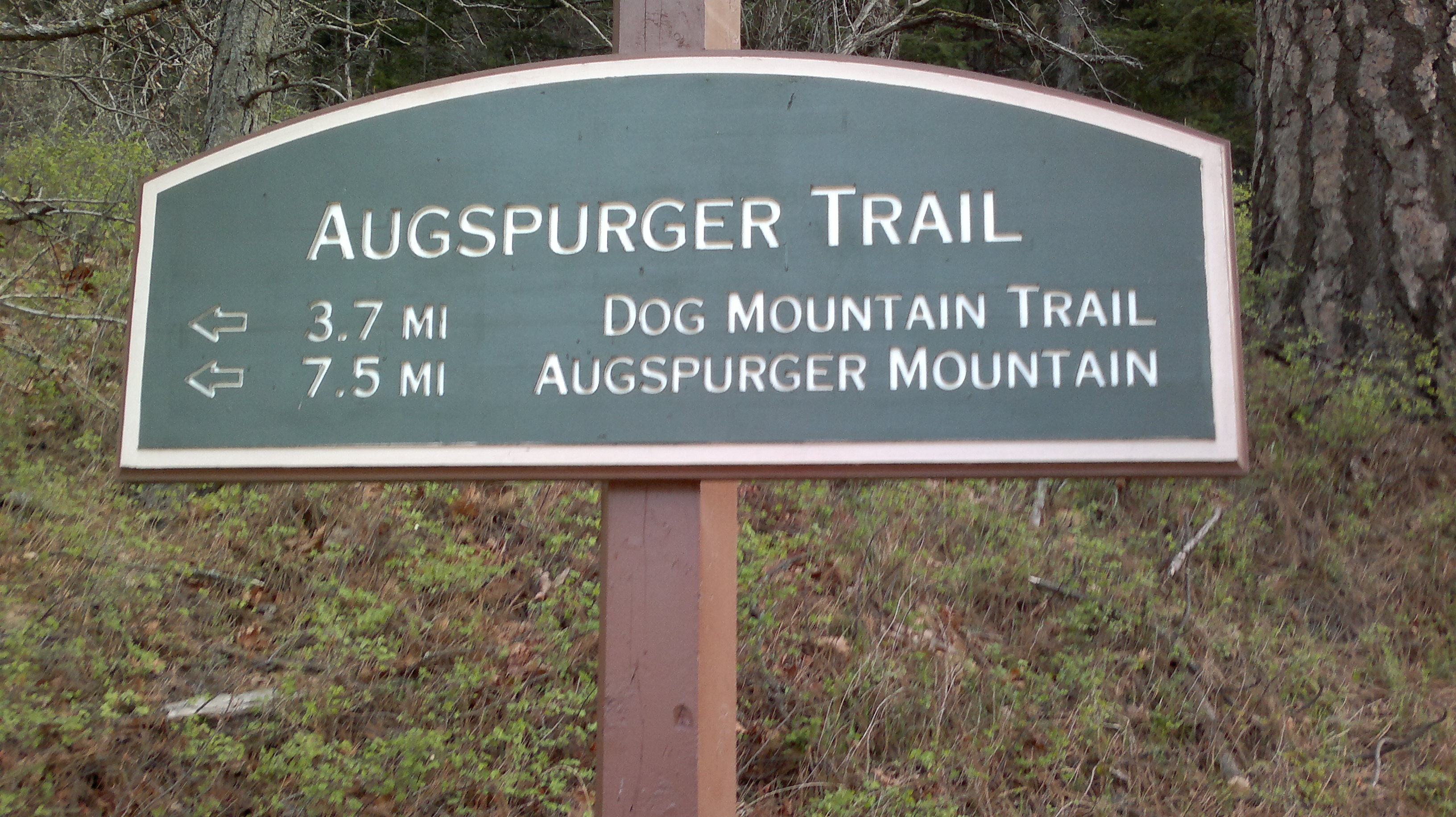
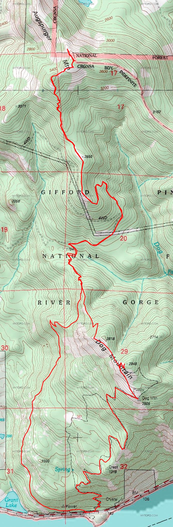
According to Portland Hikers, Augspurger Mountain is about fifteen or sixteen miles (round trip) with nearly 4800 feet of elevation gain. The hike starts at same trailhead for Dog Mountain. From Portland take I-84 to Cascade Locks and cross the Bridge of the Gods into Washington (toll). Turn right heading east on highway 14 and pass through Stevenson (great food at La Casa de Sabor - 47 Russell Avenue) - the trailhead, a large dirt lot, is at MP 53. There is a privy a hundred yards up the Dog Mountain trail to the east. You might consider an activation of both Augspurger and Dog Mountain on the same hike. The map below shows the trails for both.
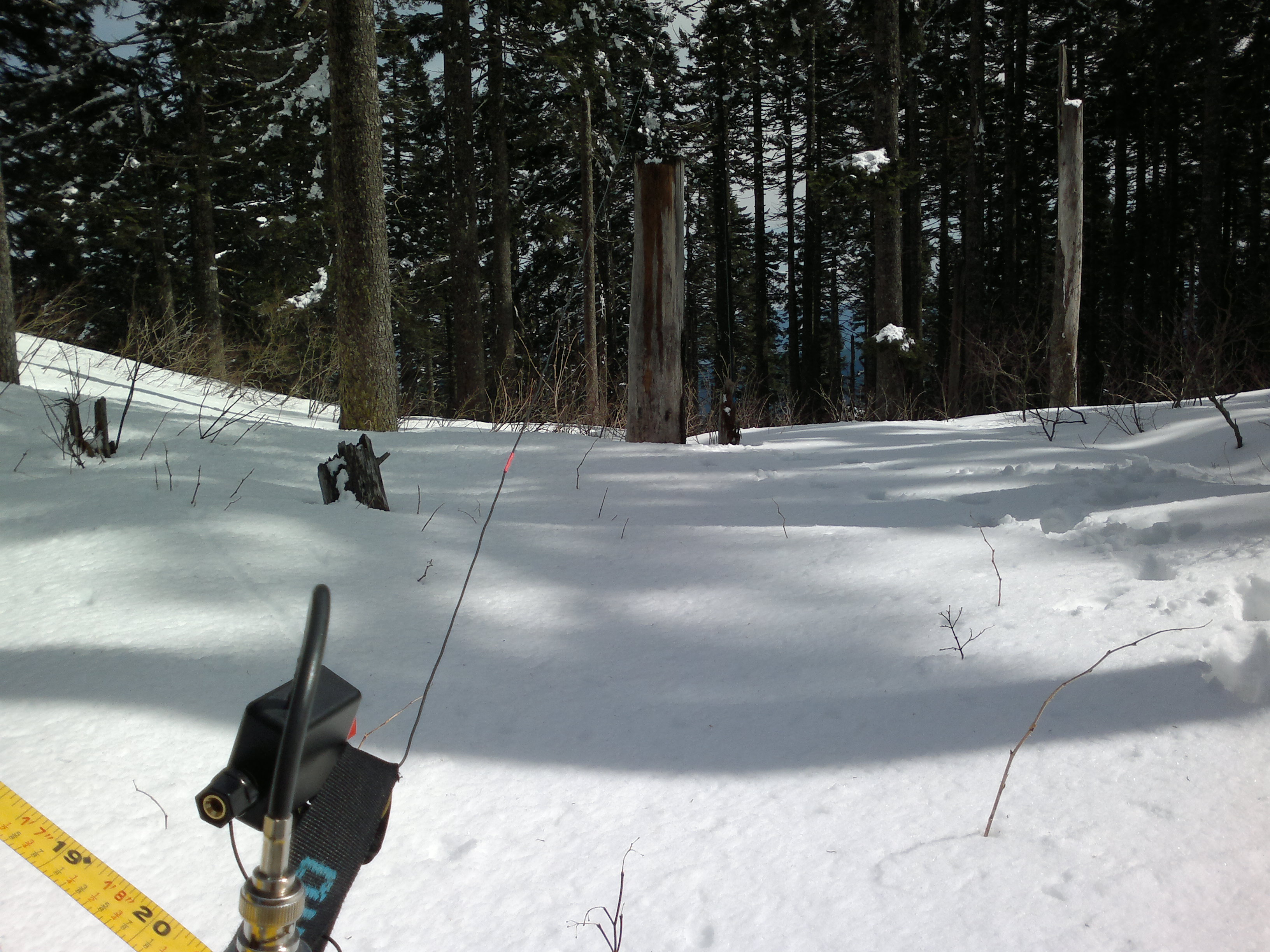
It was pretty nice on top sitting in the sun, but there was also a cold wind blowing which occasionally knocked down snow and ice pellets from the trees onto me and my rig - so much for a sunny day (I heard that it was very nice in town). I had a total ten QSOs with two on 2m (SSB and FM) and eight on 20m SSB, including a summit to summit with KD0BIK and his gang in Colorado.