Here's a fairly easy SOTA summit not too far from Boise. It has good views from the top and some simple navigation challenges as it's cross country with no trail. This could be a good summit to try out using a GPS - it might help you end up in the right place.
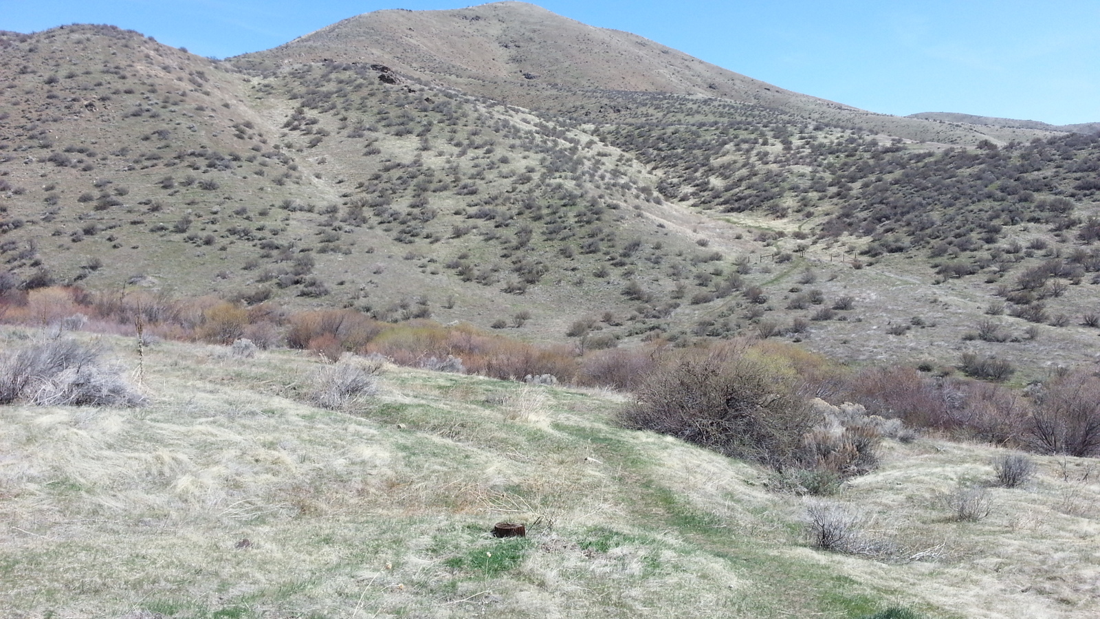
From Boise, head out Highway 21 towards Idaho City. A bit past mile marker 13 there are two wide pull-outs on the right. Even if the second pullout is 'closer' to the peak, the first one is your better choice with a vague trail starting at the southern end. You will be about 0.74 miles from the summit here and you'll be climbing about 1000 feet. You can see the trail in the first photo below. Follow a trail across the creek and then head a bit left where you can roll under the fence.
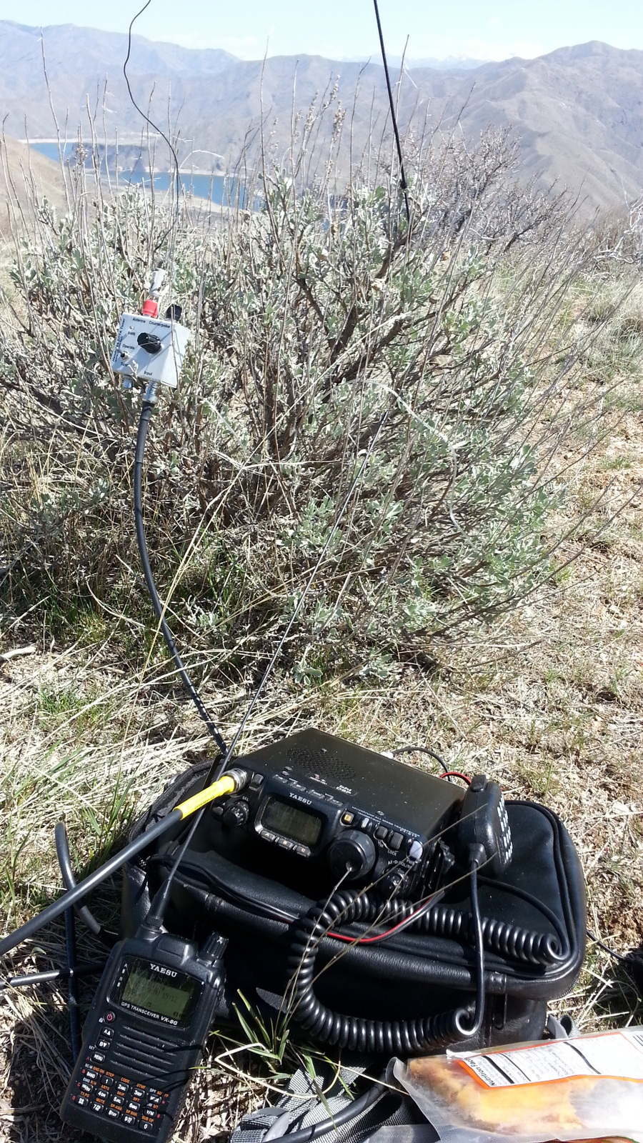
The draw to your left towards the rocks on the first ridgeline is a good way up, and then down the other side to head up a draw on the slopes of 4375 itself. Get yourself up on the ridge when this draw peters out and follow it to the summit. I found that my GPS and the high point didn't agree exactly but there's a small cairn on the summit and some shrubs robust enough to hold a pole for a simple antenna. There are nice views of the Lucky Peak Reservoir from the top and you might find it a bit breezy as I did.
The SOTA name for this peak was at one time selected to honor SK W7JWO, Sam High. He was active on the two meter nets in the Boise area. Unfortunately it appears that that history was lost, as it is now called Kodiak Peak.