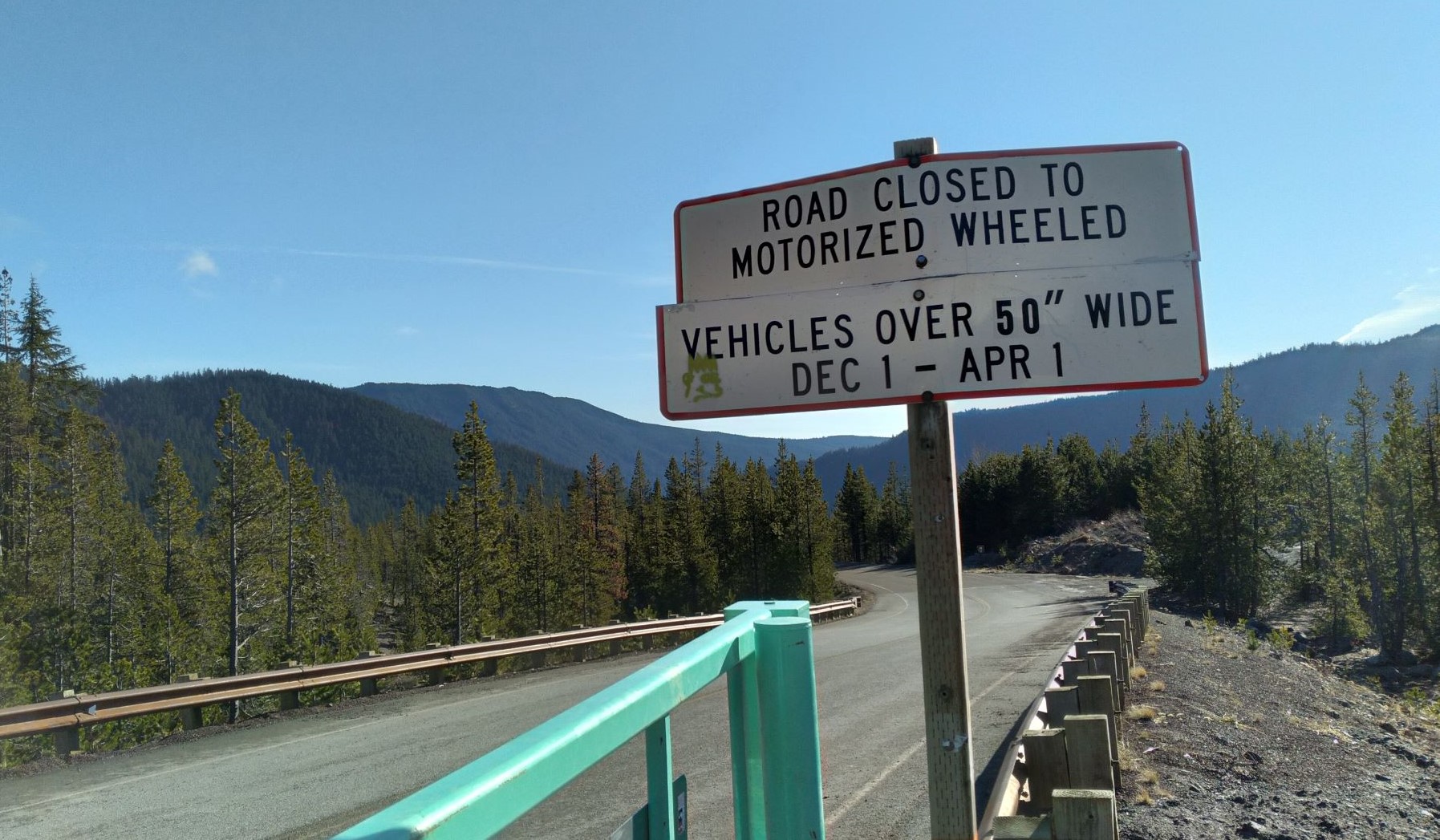
UPDATE Dec 2021 - Badger Butte (and other summits in the area) are not accessible by regular motor vehicle from Dec 1 to April 1 due to closure of NF-2610 and other routes to vehicles more than 50 inches wide. A hike, snowshoe, ski, bike, snowmobile or dog sled would be the way to go. See the photo below.
A nice activation winter or summer, Frog Lake Buttes has that strange plural name that is so easy to get wrong. Only a bit more than an hour from Portland, it's one of our recommended Oregon activations. Hiking, mountain biking, snowshoeing, skiing or even driving are all ways to get there - depending on the season of course.
From the junction of Highway 26 and 35 on the east side of Mount Hood, travel about 4.3 miles south on 26 to the Frog Lake SnoPark. There's a privy here and lots of activity with snow machines, skiers and snowshoe folks in the wintertime. In the summer there will be camping at Frog Lake and you can drive most of the way to the summit in a high clearance vehicle or have an easy hike on the road. There are about four wide spots where you can turn around and easily park - the third makes for about a 3 mile round trip. (During my summer activation I did see a trail at the summit but haven't found anything online about it to know where it starts.)
In the winter, vehicles over 30 inches wide are not allowed on the road. So park in the SnoPark area and then travel south along the road to the first left - Road 220 or Frog Lake Butte Road. Head uphill for several miles - eventually the road splits - take the left fork that leads upward to the summit. About 2.8 miles total distance and 1400 feet of elevation gain. Although the parking lot seemed busy, we encountered only one polite snow machine operator on the road and six cross country skiers.
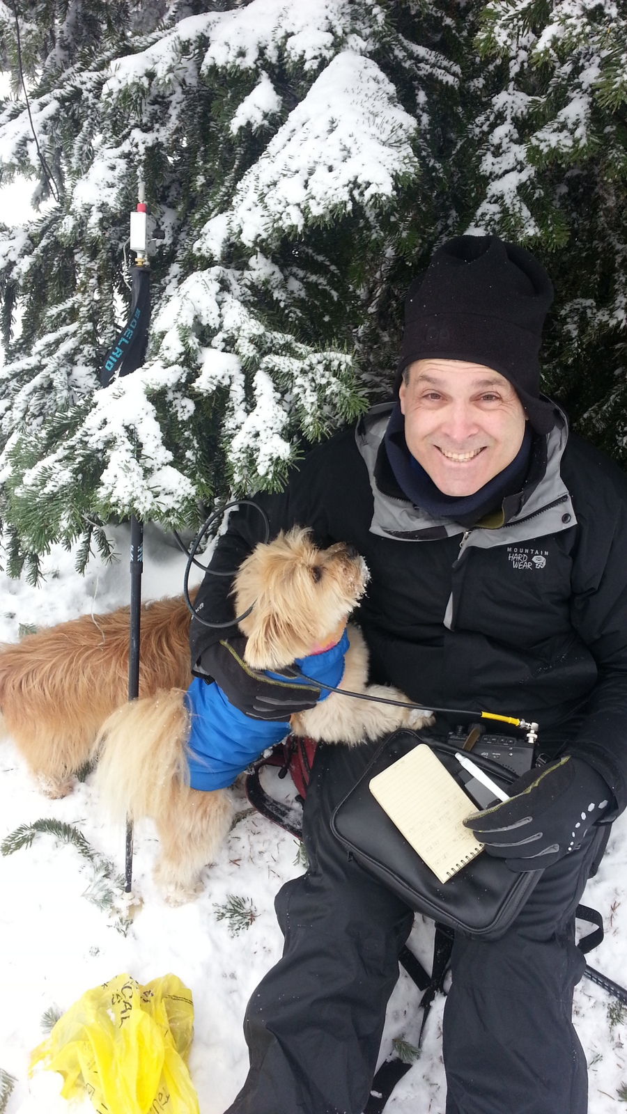
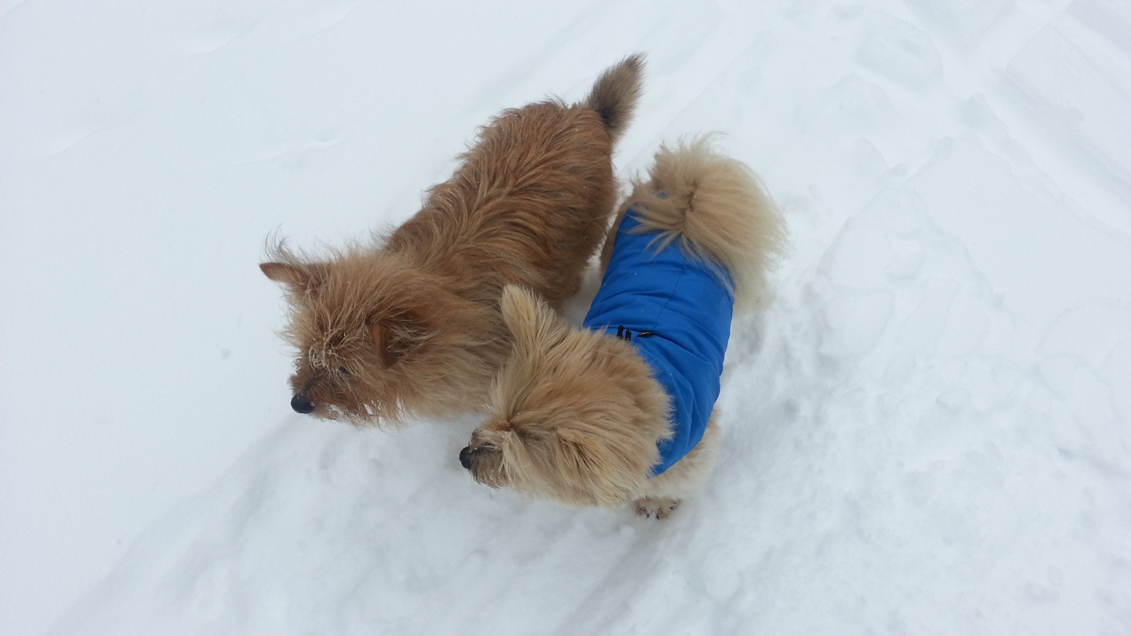
At the summit you will find a radio repeater site and many medium sized trees for antenna stringing, if that's your thing. There was a bit of powerline noise from the repeater site on 20m so you may want to activate away from it - the activation zone is plenty big. The FT-817 and EFHW on 40m and 20m netted 24 total contacts in about 40 minutes - I hardly had a chance to get cold! And the ski out was easy and smooth. Altogether a great outing. The fourth cable failure on my Palm Paddle was the only annoying problem for this activation - I turned it sideways and used it as a straight key.
APRS worked Ok from some places on the hike but the middle part did not have any echos.
Check out KK7DS's GPS tracks here - there's one for Frog Lake Buttes: http://www.pnwsota.org/content/dans-gps-paths