Just north of Detroit, Oregon are a nice bunch of summits - Peak 4740 is more of an...let's say...adventure. From where I parked it's less than a mile to the top - some on a rough road and some "cross-country" travel. The summit does have good views, even if it's a little challenging to get there.
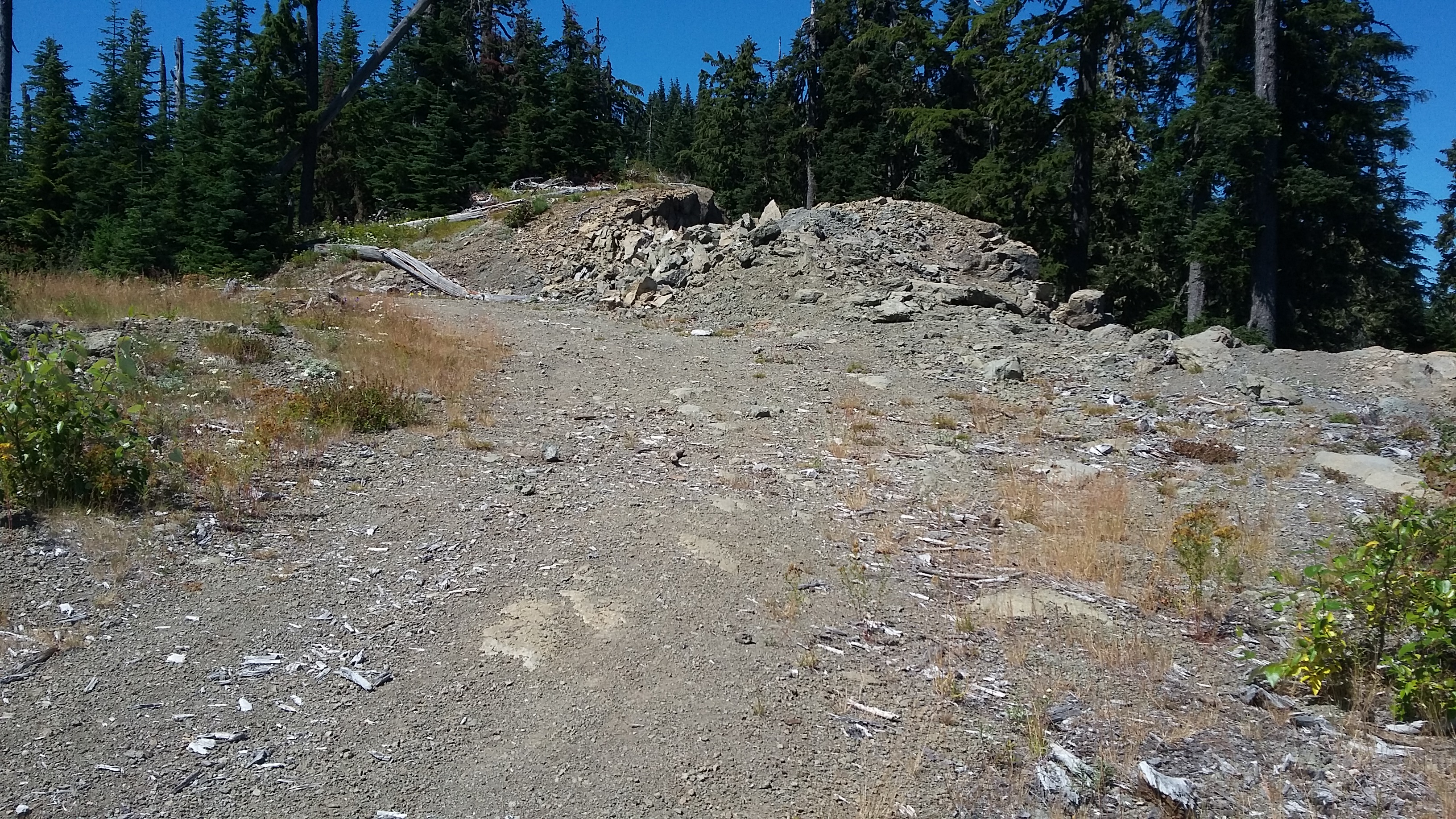
From the Willamette Valley, take Highway 22 east until just before the Breitenbush River bridge takes you into Detroit. You'll turn left here onto French Creek Road and go about 4.1 miles until the pavement ends and keep left onto Road 2223. You'll go along this nice gravel road for about 3.9 miles - just a bit past the 8 mile sign you'll keep right onto an unnamed road. (Note that you'll pass the trailhead for W7O/WV-031 - Dome Rock on the way and W7O/WV-027 - Sardine Mountain is also close by.) You'll go about a half mile on this road to a large D shaped section of road - sort of like a roundabout - you'll go around to the right and take the second exit and go just another 0.1 mile to park under the power lines. The road gets much worse after this and even if you vehicle can handle the rocks and gullies, you might not want the paint to handle the brush.
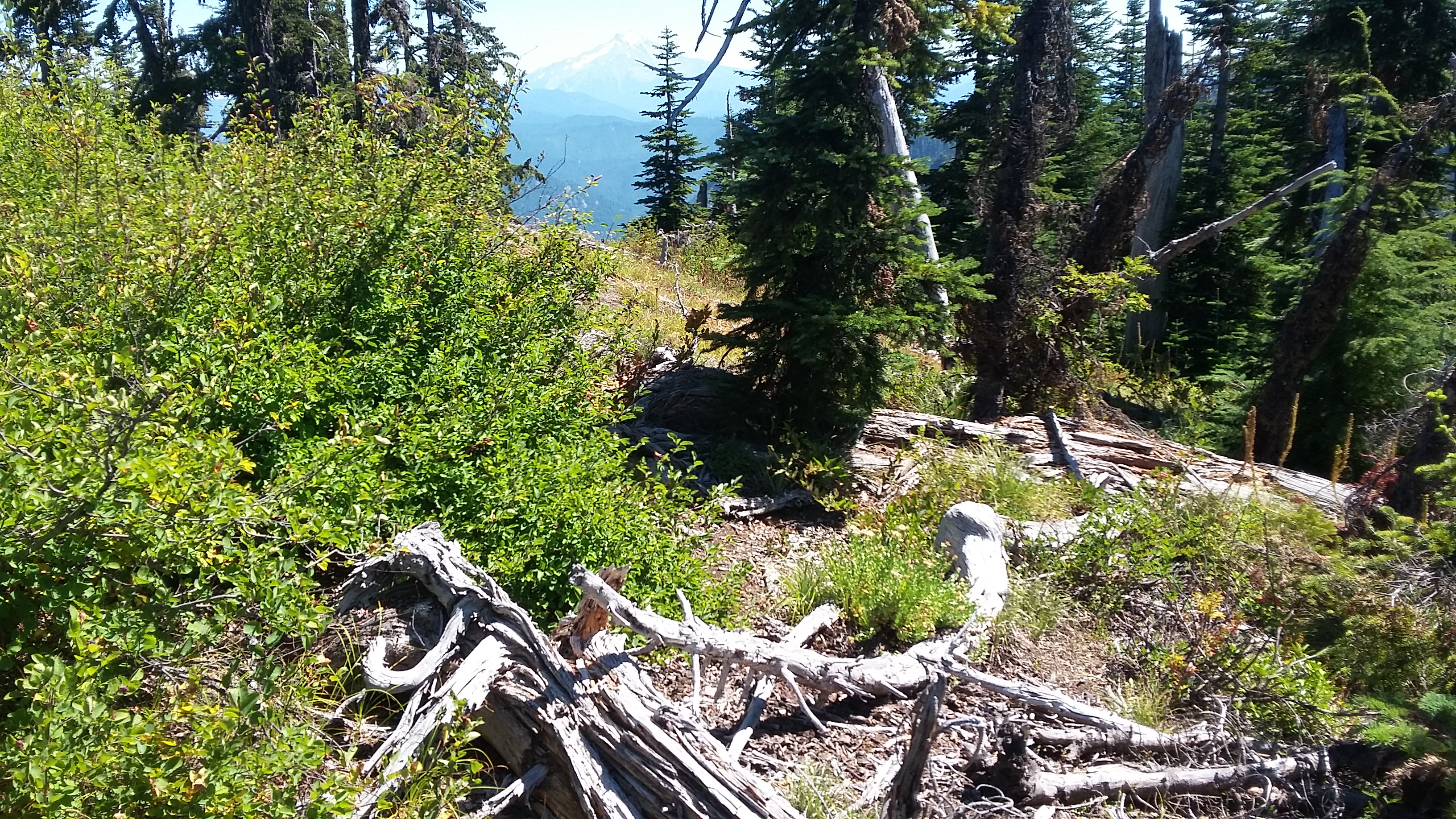
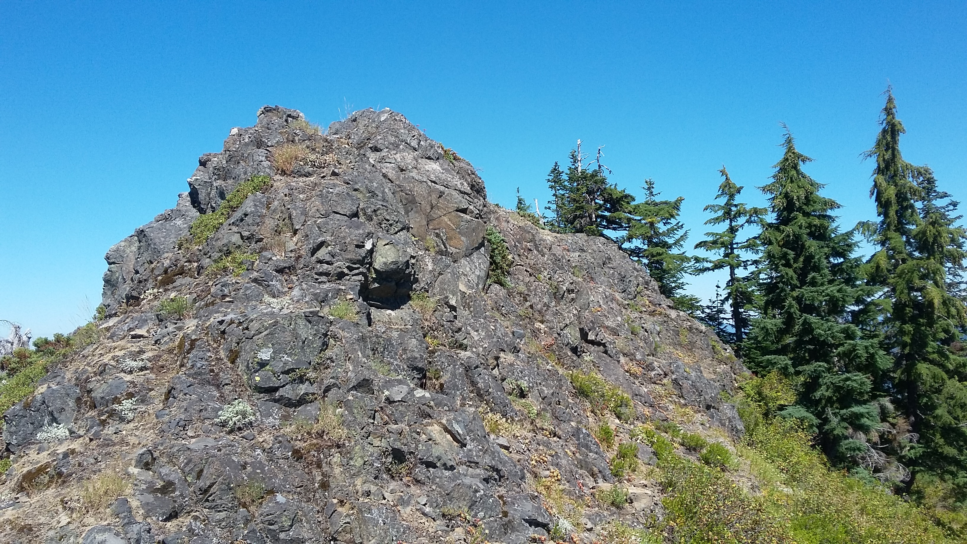
You'll go about half a mile on the road until it ends, and then proceed "cross country.". It's a bit rough in places, pushing your way through the brush, but there are a few places that look "trailish" to follow to the top. The summit is a narrow spine of rock, but the high point is wide enough to make a reasonable place to sit. There are no suitable trees to secure a pole on the summit proper, but I was able to toss an antenna from the summit to a not too far tree branch - which was good since I broke my trusted fiberglass telescopic pole here.